Poso Guard Station Cabin
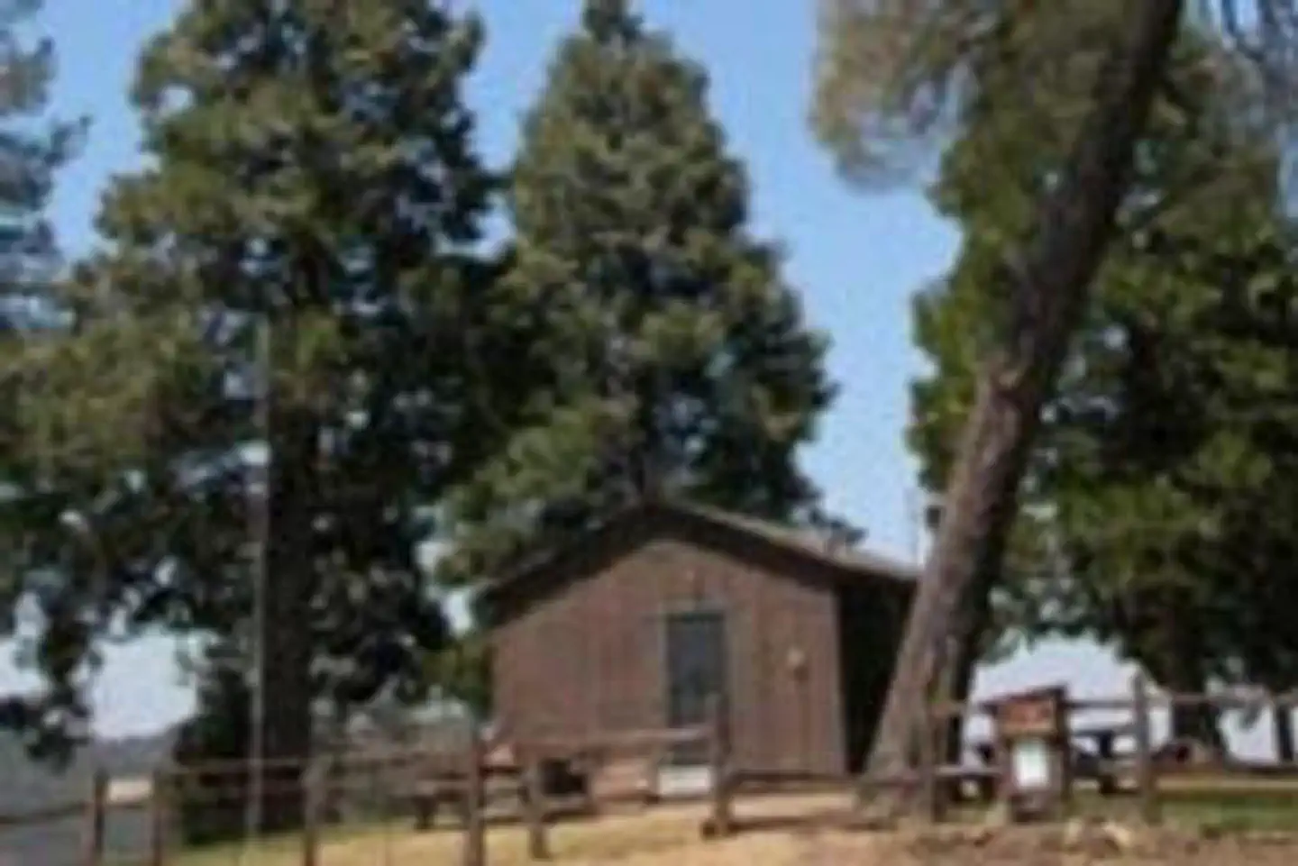
The Poso Guard Station Cabin is situated on a mountain top in the Giant Sequoia National Monument in the Sequoia National Forest. Perched at an altitude of 4,480 feet, the cabin is only an hour from Bakersfield, California. The cabin has expansive views of the San Joaquin Valley and surrounding mountains, including Tobias Peak, and is a great base for a forest getaway. Poso Station Cabin was constructed in 1933 near the small town of Posey to provide a residence for fire patrolmen stationed in that area. The exterior is constructed of board and batten-style paneling nailed to a standard wooden frame.
Check availability on Recreation.gov ↗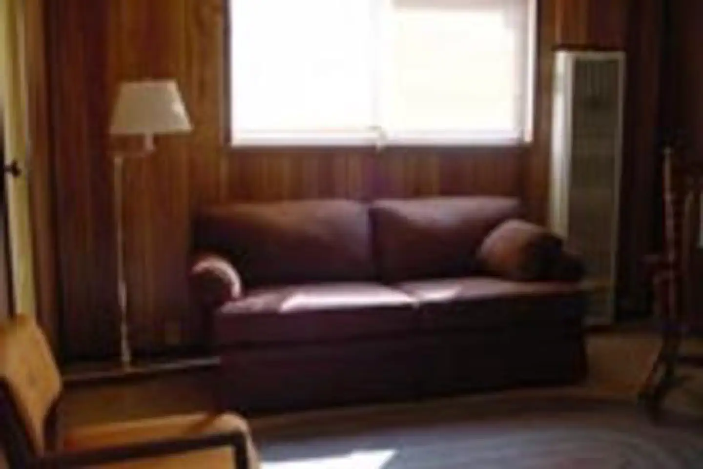


Site mix
| Cabins with electric | 1 |
Site guide
1 site. Tap a filter to narrow the list; the map follows.
| Site | Shade | People / vehicles | Pets |
|---|---|---|---|
| 001 | Full | 5 / 2 | No |
Per-site records as published by the managing agency on Recreation.gov. Blank cells mean the agency listed nothing for that site. Check-in 2:00 PM, checkout 12:00 PM.
Amenities & rules
The one-story, one-bedroom cabin sleeps five and offers electricity, hot and cold running water and a furnace for fall and winter seasons. The bedroom contains a queen-size bed and a twin bed. The living room has a double hide-a-bed couch that sleeps two. The kitchen includes a stove, refrigerator, microwave, toaster, coffee maker, pots and pans, dishes and utensils and a small table. There is a bathroom with a flush toilet and a tub-shower. A picnic table and campfire ring sit outside. There is also room outdoors for cots and tents, and space to accommodate a motor home, although there are no hookups available. Guests should plan to bring linens, pillows, blankets, towels, toiletries, food and trash bags. Suggested additional items include toilet paper, paper towels, camp chairs, wood for the outside fire ring, insect repellent and dish towels.
Individual sites vary. Confirm on Recreation.gov or with the managing office.
Weather by month
Getting there
From Bakersfield, California, take Highway 65 north to Highway 155. Turn east on 155 and continue to the Jack Ranch Road. Turn left (north) and travel to the Old Stage Road (M3). Travel through the Balance Rock settlement until you come to a 4-way intersection. The driveway to Poso Cabin is a hard turn back to the left.
| Coordinates | 35.8077° N, 118.6439° W · Directions ↗ |
Fire nearby
- WildfireCyrus
15 mi from the campground · 543 acres · 95% contained
Distance is to the reported incident point, not the fire edge. Call the managing office before you drive.
Supplies & services
| Dump station | Dump station ↗ | 15.1 mi |
| Outdoor gear | Triple Crown Outfitters ↗ | 32.9 mi |
| RV sales & service | Camping World ↗ | 41.3 mi |
Locations © OpenStreetMap contributors. Call ahead; hours change seasonally.
Explore
Worth a stop
- 11.3 mi
- 11.4 miCorral Creek Picnic Site ↗Day use
- 13.1 miTillie Creek Launch Ramp Boating Site ↗Boat launch
- 14.6 miCyrus Canyon Shooting Range ↗OHV / range
- 14.6 miCyrus Canyon Ohv Park ↗OHV / range
Trails nearby
- 0.2 miCattle Run2.5 mi trail · hiking, horse, bike
- 0.7 miMarshall Meadow3.7 mi trail · hiking, horse, bike
- 1.8 miTelephone Ridge3.5 mi trail · hiking, horse, bike, motorcycle and 1 more
- 2.8 miWhite River2.5 mi trail · hiking, horse, bike
- 3.5 miBohna Ridge ↗4.5 mi trail · hiking, horse, bike
- 3.6 miSugarloaf1.7 mi trail · hiking, horse, bike
Trail and trailhead records are the Forest Service's. Distances are straight-line to the nearer trail end. Trail conditions are not tracked here.
Public land it sits in
This campground sits inside Sequoia National Forest.
- inSequoia National Forest ↗National Forest · Forest Service · 1,160,053 acres
Each unit is published as a centre point and an acreage rather than a boundary, so this section stands it in for a circle of the same area. Whether a campground is inside, and how far it is from one it is outside, are both approximate.
Other campgrounds nearby



Cabin and lookout rentals nearby

Natural features
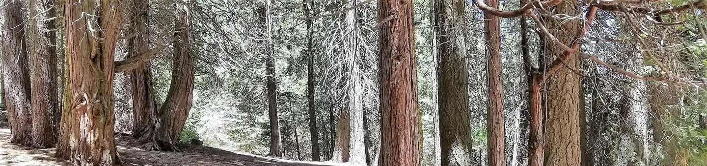
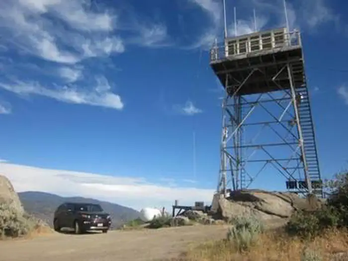
The cabin is situated amidst pines and oaks and has views of the Greenhorn Mountains, which are part of the Sierra Nevada range. The cabin also has views of Tobias Peak, site of a 8,300-foot-elevation lookout tower. There are deer and cattle in the area, as well as raptors such as Golden Eagles and an occasional condor. Temperatures range from the 20s in the winter to the high 90s in the summer. The weather can change suddenly, so guests need to be prepared with warm clothing.
Recreation
In the summer, hiking, fishing, biking and horseback riding are popular options. Skiing and snowmobiling are popular in the winter. Stargazing is enjoyable year-round. During the summer, The Tobias Fire Lookout and the Trail of 100 Giants, both an hour drive from the cabin, make a nice outing.
Guidebooks for Sequoia National Forest and California
We earn a small commission if you buy through these links. It does not change what we list.

Titles come from Open Library's catalog, matched by subject heading or by title.
Reference
Questions people ask
Do I need a reservation at Poso Guard Station Cabin?
Sites at Poso Guard Station Cabin are reservable on Recreation.gov. Any walk-up sites are listed on the booking page.
Source: Recreation.gov
What time is check-in at Poso Guard Station Cabin?
Check-in 2:00 PM, checkout 12:00 PM.
Source: Recreation.gov
How many sites does Poso Guard Station Cabin have?
1 site, including 1 cabin with power.
Source: Recreation.gov
Are there showers or a dump station at Poso Guard Station Cabin?
There is a bathroom with a flush toilet and a tub-shower.
Source: Recreation.gov
Is there cell service at Poso Guard Station Cabin?
FCC coverage maps show T-Mobile 4G LTE at the campground point. Terrain changes that from one site to the next.
Source: FCC Broadband Map
What is there to do at Poso Guard Station Cabin?
In the summer, hiking, fishing, biking and horseback riding are popular options. The Recreation section on this page has the rest.
Source: Recreation
What if Poso Guard Station Cabin is full?
The nearest public campgrounds are White River Campground (2.7 mi), Leavis Flat Campground (5.3 mi, first-come), and Cedar Creek Campground (5.3 mi, first-come).
Source: Campgrounds nearby