Marsters Spring Campground
Located 20 minutes south of Paisley, Oregon, Marsters Spring is a rustic and peaceful campground along the banks of the Chewaucan River. The water level stays consistent on this river, providing good habitat for fish. Anglers can cast their line for catch-and-release trout. A creek flows amid sagebrush and through a mixed stand of alder, juniper and ponderosa pines. The Chewaucan Crossing trailhead is just one and a half miles up the road which accesses the National Recreation Trail #160. Ten widely spaced campsites offer privacy. All sites have picnic tables and fire grates, and there are two vault toilets. A hand pump gives access to fresh water during open season.
More like this: reservable in Oregon · free in Oregon
Check availability on Recreation.gov ↗
Site mix
| Standard, no hookups | 10 |
| Host/management | 1 |
Amenities & rules
| Fees | Camping: $6/Night for single unit, $2/Night for extra vehicle. Payments can be made with cash or check (make checks out to USDA Forest Service) and deposited in the fee tube using provided envelope, or scan the QR code to pay by phone. Day Use: No Fee. |
2 vault toilets, trash receptacles, and water (hand pump)
Individual sites vary. Confirm on Recreation.gov or with the managing office.
Season & status
| Status | Closed for the season. Forest Service sites close for the season; check the official page for the reopening date. |
| Season | 05/15 to 10/15; 10/16-05/14 Open with reduced services |
| Forest | Fremont-Winema National Forest |
| Booking | First come, first served. |
| Fees | $6/Night for single unit, $2/Night for extra vehicle |
Weather by month
Getting there
From Paisley, OR take Highway 31 north toward Silver Lake, Oregon turn left on County Highway 2-08, Mill Street, and continue left on Forest Service (FS) Road 33. Follow FS Road 33 to the campground.
| Nearest town | Paisley, Oregon |
| Coordinates | 42.6242° N, 120.6054° W · Directions ↗ |
Fire nearby
- PrescribedCoyote Rx
32 mi from the campground
Distance is to the reported incident point, not the fire edge. Call the managing office before you drive.
Explore
Trails nearby
- 3.1 miHadley F2.1 mi trail · snowmobile, snowshoe, ski
- 3.4 miHadley E ↗22.2 mi trail · snowmobile, snowshoe, ski
- 3.5 miHadley D2.3 mi trail · snowmobile, snowshoe, ski
- 3.6 miHadley G0.4 mi trail · snowmobile, snowshoe, ski
- 4 miHadley Snowmobile ↗56.6 mi trail · snowmobile, snowshoe, ski
- 4.6 miHadley H2 mi trail · snowmobile, snowshoe, ski
Trailheads within three miles
- 0.6 miChewaucan Crossing Campground/Trailhead ↗Fremont-Winema National Forest · Season 05/15 to 10/15;10/16-05/14 Open with reduced services
Trail and trailhead records are the Forest Service's. Distances are straight-line to the nearer trail end. Trail conditions are not tracked here.
Public land it sits in
This campground sits inside Fremont-Winema National Forest.
- inFremont-Winema National Forest ↗National Forest · Forest Service · 2,815,968 acres
- 11.4 miGearhart Mountain Wilderness ↗Wilderness · Forest Service · 22,614 acres
Each unit is published as a centre point and an acreage rather than a boundary, so this section stands it in for a circle of the same area. Whether a campground is inside, and how far it is from one it is outside, are both approximate.
Other campgrounds nearby


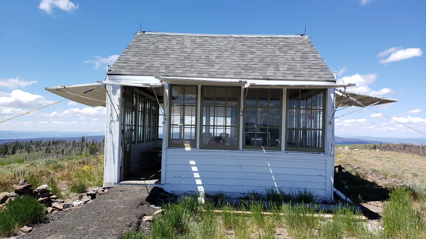
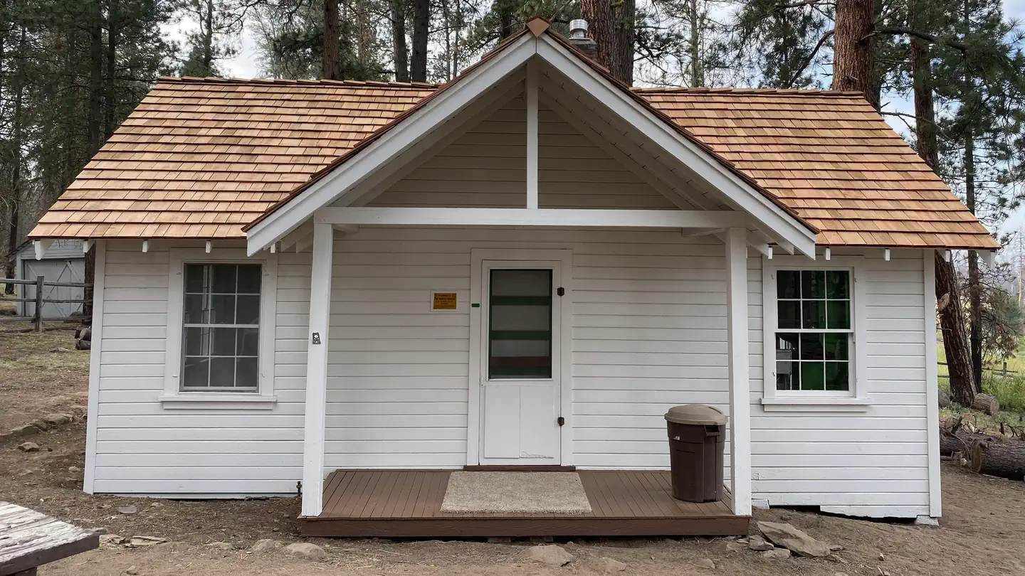
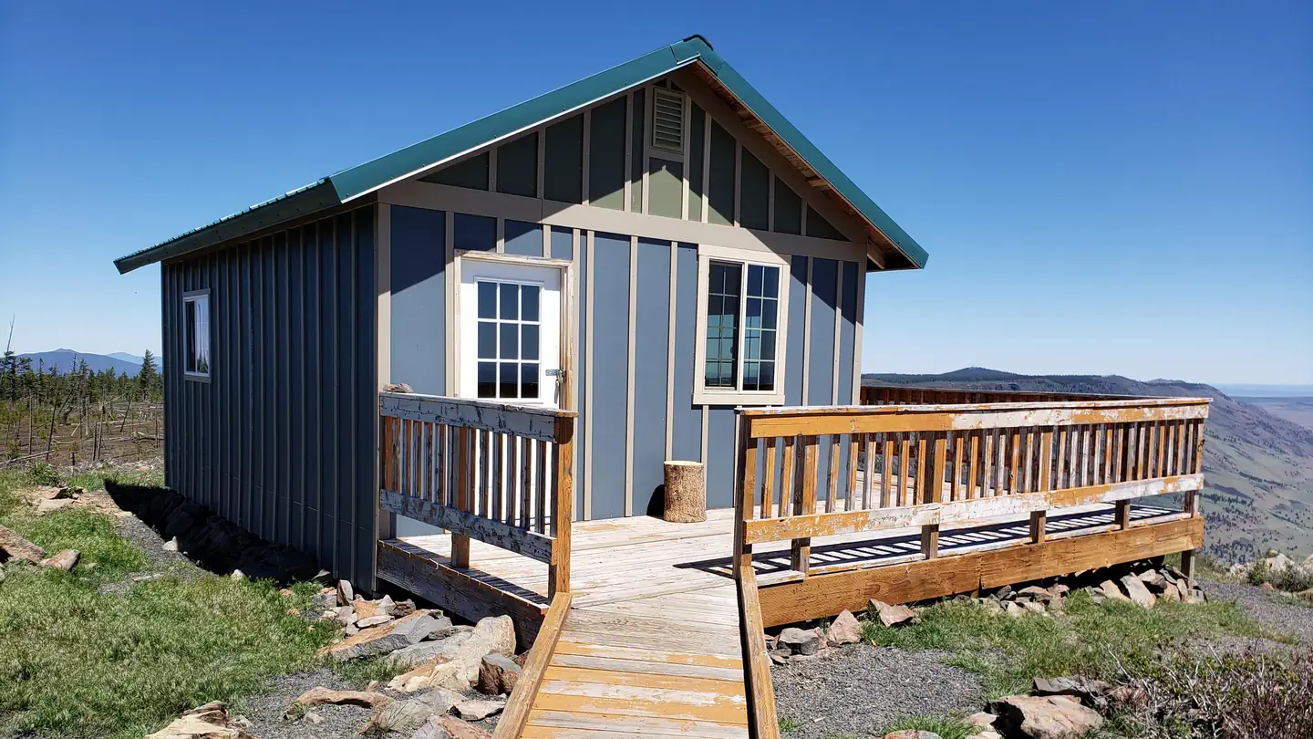
Cabin and lookout rentals nearby
Natural features
Natural features include the Chewaucan River, and its rugged canyon surrounding the campground.
Recreation
Recreational activities include flyfishing, picnicking, hiking, mountain biking and nature viewing.
Nearby
National Recreation Trail #160, Morgan Butte Fire Lookout, Chewaucan River,
Guidebooks for Oregon
We earn a small commission if you buy through these links. It does not change what we list.

Titles come from Open Library's catalog, matched by subject heading or by title.
Reference
Questions people ask
Do I need a reservation at Marsters Spring Campground?
Sites at Marsters Spring Campground are reservable on Recreation.gov. First come, first served. Any walk-up sites are listed on the booking page.
Source: Recreation.gov
How much does it cost to camp at Marsters Spring Campground?
Nothing. Marsters Spring Campground is listed as free. Camping: $6/Night for single unit, $2/Night for extra vehicle.
Source: Recreation.gov
Is Marsters Spring Campground open right now?
Closed for the season as of Oct 16, 2026. Season 05/15 to 10/15; 10/16-05/14 Open with reduced services.
Source: Forest Service status
How many sites does Marsters Spring Campground have?
11 sites, including 10 standard sites without power.
Source: Recreation.gov
What is the nearest town to Marsters Spring Campground?
Paisley, Oregon. National Recreation Trail #160, Morgan Butte Fire Lookout, Chewaucan River,
Source: Getting there
What if Marsters Spring Campground is full?
The nearest public campgrounds are Chewaucan Crossing Campground/Trailhead (0.6 mi, first-come), Jones Crossing Campground (1.2 mi, first-come), and Campbell Lake Campground (8.5 mi, first-come).
Source: Campgrounds nearby