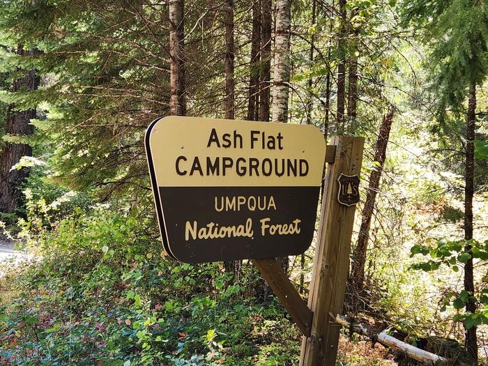
Ash Flat Campground
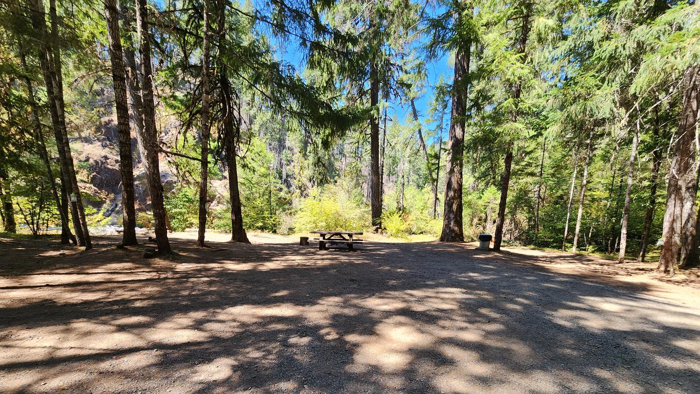
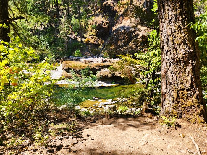
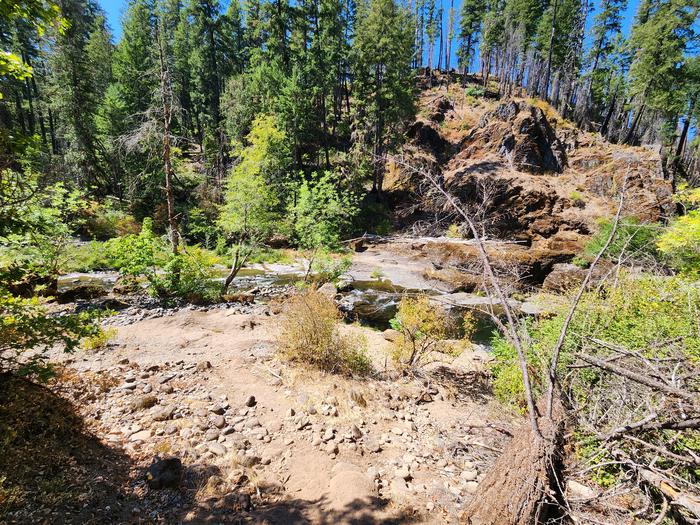
Sitting at an elevation of 1,500 feet, Ash Flat Campground is tucked into a forest of mixed conifers and hardwoods. With four shaded campsites that are perfect for a relaxing getaway, you can visit any time of the year. Beaches and beautiful downstream views courtesy of the South Umpqua River are just a few steps away, so bring your bathing suits! There is no garbage service offered at this campground, so please be prepared to pack out your trash and leave this place pristine for current and future generations.
Sites are first-come, first-served. Recreation.gov lists this campground for paying on site, and you may be able to pay with the Scan and Pay feature of its app.
More like this: first-come in Oregon · pets allowed in Oregon
Site mix
| Standard, no hookups | 4 |
| Host/management | 1 |
Site guide
Will my RV fit
The longest site here provides 35 feet of vehicle capacity. Most sites are shorter.
4 sites. Tap a filter to narrow the list; the map follows.
| Site | Entry | Fits, ft | Shade | Water / sewer | Waterfront | People / vehicles | Fires | Rating |
|---|---|---|---|---|---|---|---|---|
| 1 | 35 | Partial | No / No | Riverfront | 8 / – | Yes | Preferred | |
| 2 | Pull-through | Partial | No / No | 8 / – | Yes | Standard | ||
| 3 | Pull-through | Partial | No / No | 8 / – | Yes | Preferred | ||
| 4 | 35 | Partial | No / No | 8 / – | Yes | Standard |
Per-site records as published by the managing agency on Recreation.gov. Blank cells mean the agency listed nothing for that site. Check-in 01:00 PM, checkout 11:00 AM.
Amenities & rules
| Hookups | None |
| Max vehicle length | 35 ft |
| Equipment | RVs & trailers, Tents |
| Pets | Allowed |
| Campfires | Allowed, subject to restrictions |
| Fees | Extra vehicle fee $5 per vehicle per night. NOTE: 50% discount for Interagency Senior and Access Pass holders on a single campsite. This discount does not apply to use of a cabin, lookout, double camping unit, triple camping unit, group camping unit, extra vehicle fees, or any additional camping… |
- Vault toilet
- Four tent/trailer sites
- Open year-round; first come, first serve
- Each site has a picnic table and fire ring
Individual sites vary. Confirm on Recreation.gov or with the managing office.
Season & status
| Status | Open |
| Season | Year Round |
| Forest | Umpqua National Forest |
| Fees | $10 for campsite $5 for extra vehicle |
| Rules | Quiet hours between 10 p.m. and 6 a.m. Campfires allowed in developed fire pits when conditions allow - please see current Public Use Restrictions for current campfire restrictions. Fireworks are prohibited. Dogs must be on leash. OHV/ATV use prohibited in the campground |
Weather by month
Getting there
From Canyonville, OR, turn off of southeast Main Street onto southeast 3rd Street / OR-227. Continue on OR-227 for approximately 23 miles until reaching the town of Tiller, OR. Turn left onto County Road 46 (National Forest RD 28/South Umpqua RD) and continue for 18 miles to Ash Flat Campground, located on the right side of the road.
| Nearest town | Tiller, Oregon |
| Coordinates | 43.0454° N, 122.7322° W · Directions ↗ |
Charges and cancellations
This is a Scan and Pay campground. There are no refunds, modifications, cancellations, or other fee changes allowed with Scan and Pay payments. This system is the same as putting cash into a fee tube and cannot be refunded.
Fire nearby
- PrescribedRx Long Prairie
20 mi from the campground · 112 acres
- PrescribedRx Cold Springs
29 mi from the campground · 158 acres
Distance is to the reported incident point, not the fire edge. Call the managing office before you drive.
Supplies & services
| Dump station | Mazama Campground Dump Station ↗ | 31.2 mi |
| Outdoor gear | Sportsman's Warehouse ↗ | 34.9 mi |
| RV sales & service | Blue Dog RV of Oregon ↗ | 46.8 mi |
Locations © OpenStreetMap contributors. Call ahead; hours change seasonally.
Explore
Video
Sunny Flat Campground in Cave Creek Canyon, Arizona
Worth a stop
- South Umpqua River
- Campbell Falls Trail 1587
- Deer Lick Falls Trail 1568
- South Umpqua Falls
- Rogue Umpqua Divide Wilderness Trailheads
- 8.4 miCougar Butte Trailhead ↗Trailhead
- 9.2 miFish Lake Trailhead ↗Trailhead
Trails nearby
- 0.9 miNfst-28263230.4 mi trail · hiking, horse, bike, motorcycle and 3 more
- 0.9 miNfst-27009151 mi trail · hiking, horse, bike, motorcycle and 2 more
- 1 miNfst-29808690.2 mi trail · hiking, horse, bike, motorcycle and 2 more
- 1 miNfst-29247200.4 mi trail · hiking, horse, bike, motorcycle and 3 more
- 1.3 miNfst-28263460.2 mi trail · hiking, horse, bike, motorcycle and 2 more
- 1.4 miNfst-29808280.1 mi trail · hiking, horse, bike, motorcycle and 2 more
Trail and trailhead records are the Forest Service's. Distances are straight-line to the nearer trail end. Trail conditions are not tracked here.
Public land it sits in
This campground sits inside Umpqua National Forest.
- inUmpqua National Forest ↗National Forest · Forest Service · 1,035,837 acres
- 9.4 miRogue-Umpqua Divide Wilderness ↗Wilderness · Forest Service · 35,749 acres
Each unit is published as a centre point and an acreage rather than a boundary, so this section stands it in for a circle of the same area. Whether a campground is inside, and how far it is from one it is outside, are both approximate.
Other campgrounds nearby
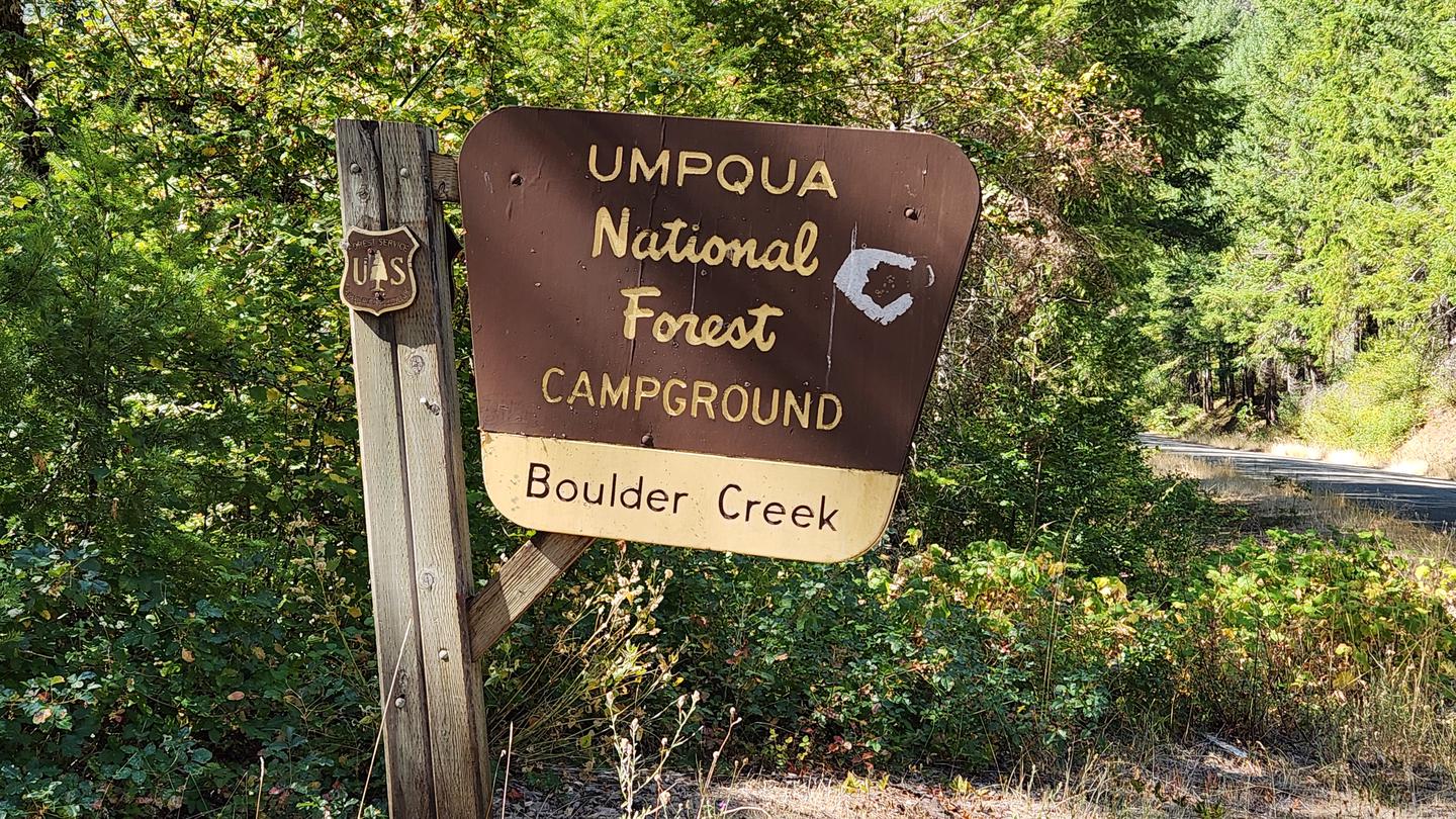
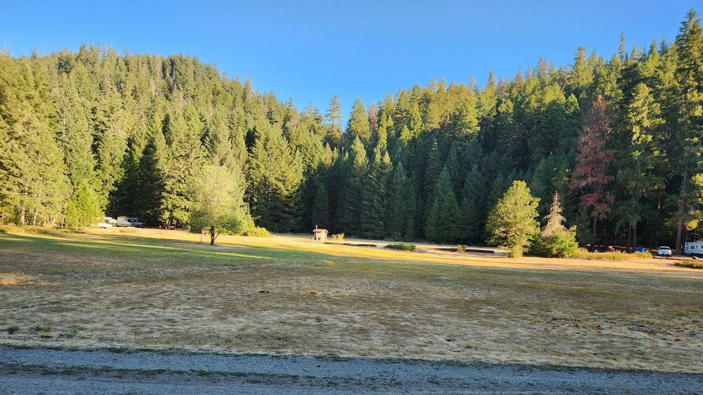
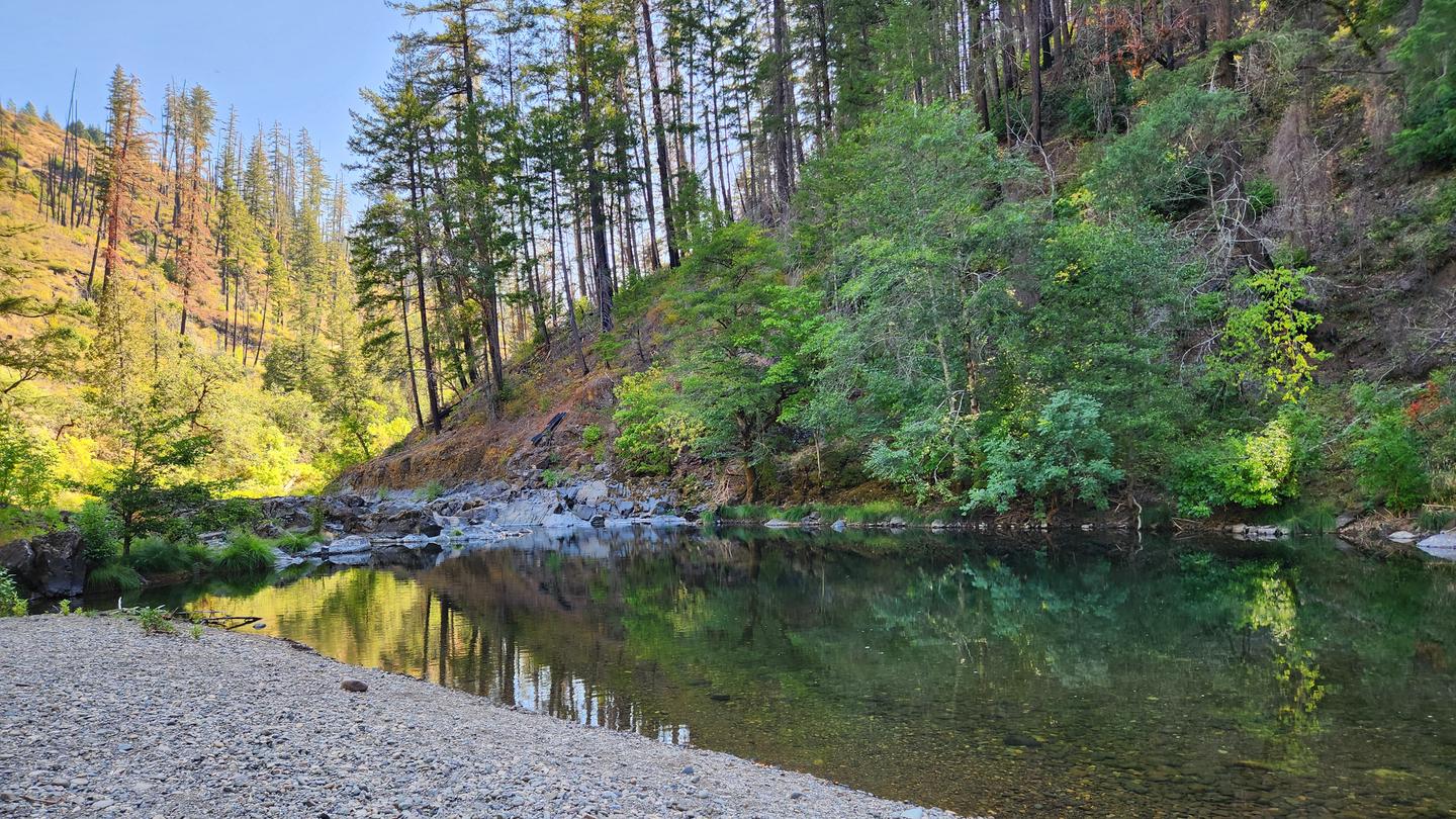

Cabin and lookout rentals nearby
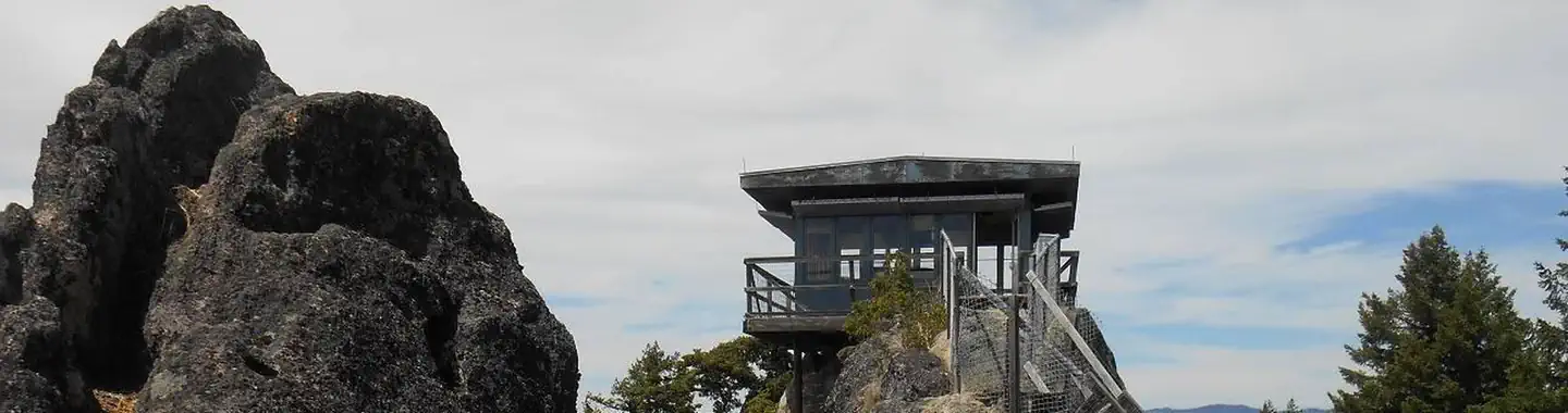
On the National Register nearby
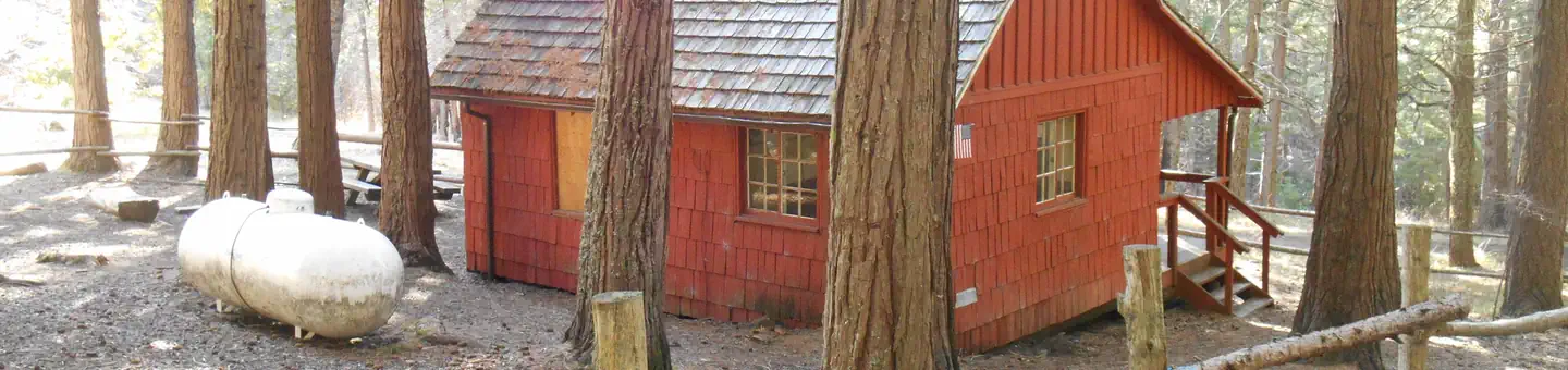
- Whaleback Snow–Survey CabinBuilding · Prospect · 12 mi
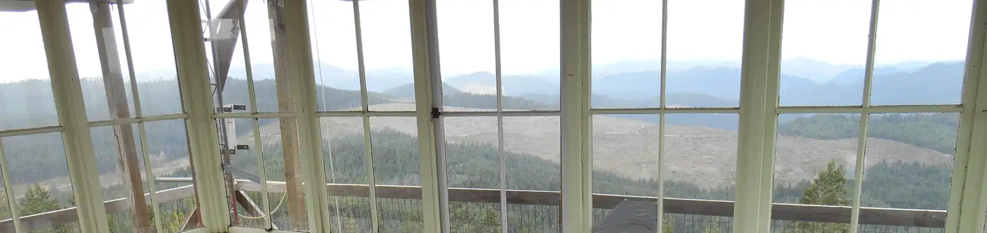
- Hershberger Mountain LookoutBuilding · Prospect · 14 mi
Natural features
Visitors to the Umpqua National Forest are often taken aback by the unique landscapes of southwestern Oregon. High Cascades glaciation, whitewater rapids, and explosive geologic events have shaped the distinctive landscape on the 983,239 acres of forest that provides spectacular scenery as well as an abundance of natural and cultural resources. Verdant stands of hemlock, fir and cedar transition to forests of mixed conifers and hardwoods at lower elevations, while alpine ecosystems dominate high peaks. The translation of the word "Umpqua," meaning "thundering waters," defines the area. The Forest's waterways and diversity create desirable habitat for many species of fish and wildlife, in addition to providing outstanding recreational opportunities to our local communities and visitors.
Recreation
- Hiking
- Swimming
- Scenic Drive/Sightseeing
Guidebooks for Oregon
We earn a small commission if you buy through these links. It does not change what we list.

Titles come from Open Library's catalog, matched by subject heading or by title.
Reference
Questions people ask
Do I need a reservation at Ash Flat Campground?
No. Ash Flat Campground is first-come, first-served. Sites are taken on arrival and paid at the fee station.
Source: Forest Service
How much does it cost to camp at Ash Flat Campground?
Extra vehicle fee $5 per vehicle per night. NOTE: 50% discount for Interagency Senior and Access Pass holders on a single campsite. This discount does not apply to use of a cabin, lookout, double camping unit, triple camping unit, group camping unit, extra vehicle fees, or any additional camping…
Source: Forest Service
What time is check-in at Ash Flat Campground?
Check-in 01:00 PM, checkout 11:00 AM.
Source: Forest Service
Is Ash Flat Campground open right now?
Open as of Oct 16, 2026. Season Year Round.
Source: Forest Service status
How many sites does Ash Flat Campground have?
5 sites, including 4 standard sites without power.
Source: Forest Service
Will my RV fit at Ash Flat Campground?
The longest site here provides 35 feet of vehicle capacity. Most sites are shorter. The sidebar tool checks a trailer or motorhome length against every site.
Source: Will my RV fit
Are pets allowed at Ash Flat Campground?
Yes, pets are allowed at Ash Flat Campground. Leash rules apply.
Source: Forest Service
Can I have a campfire at Ash Flat Campground?
Fires are allowed in the provided rings under normal conditions. As of 2026-10-16, there are 2 active fires within 50 miles, so check current restrictions before you light one. Quiet hours between 10 p.m.
Source: Fire nearby
What is there to do at Ash Flat Campground?
Hiking The Recreation section on this page has the rest.
Source: Recreation
What is the nearest town to Ash Flat Campground?
Tiller, Oregon. South Umpqua River
Source: Getting there
What if Ash Flat Campground is full?
The nearest public campgrounds are Boulder Creek Campground (2.3 mi, first-come), South Umpqua Falls Campground (2.3 mi, first-come), and Dumont Creek Campground (4.1 mi, first-come).
Source: Campgrounds nearby