Whisky Camp Guard Station
Whisky Camp, built in the 1940s, was the summer home of a fireguard whose primary duties were to fight and prevent fires, serve as a relief lookout, and perform maintenance on phone lines and trails. Located in the Tiller Ranger District in southwestern Oregon, the cabin now offers relaxation and recreation for visitors throughout the year. Four-wheel drive vehicles are recommended for travel to this site, and guests must bring several of their own supplies. Please be aware that in winter months guests may need to snowmobile, ski or snowshoe up to five miles one-way to reach the cabin.
Check availability on Recreation.gov ↗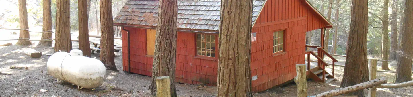
Site mix
| Cabins | 1 |
Site guide
1 site. Tap a filter to narrow the list; the map follows.
| Site | Shade | People / vehicles | Fires | Accessible |
|---|---|---|---|---|
| 01 | Partial | 8 / 4 | Yes | Yes |
Per-site records as published by the managing agency on Recreation.gov. Blank cells mean the agency listed nothing for that site. Check-in 11:00 AM, checkout 10:00 AM.
Amenities & rules
| Pets | Allowed |
| Campfires | Allowed, subject to restrictions |
| Fees | $40 per night |
| Accessibility | Site 01 is listed accessible |
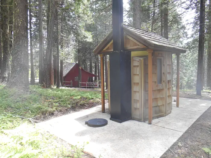
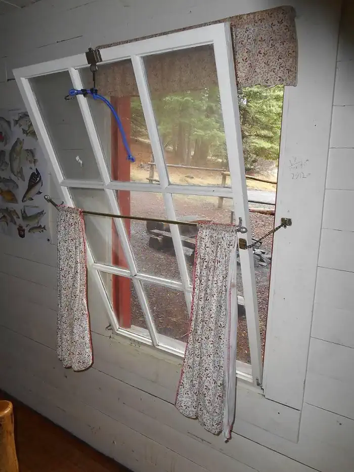
This two-room cabin is equipped with two single beds and two single roll-out beds, both with foam pad mattresses. Amenities inside the cabin include a wall heater, lights, a cook stove with oven and a refrigerator, all powered by propane, which is provided. Provided outside, are picnic tables, a campfire ring, an outdoor grill (not propane) and a vault toilet. An area for pitching a tent is also on-site. Guests must bring several of their own supplies. The cabin does not have food, cooking utensils, sleeping bags, towels, dish soap, matches, cooking gear, toilet paper or garbage bags. Firewood may be available, but the supply cannot be guaranteed. There is no water available at the site. Guests must bring water necessary for drinking, cooking and washing. Potable water is available at a spigot in front of the Tiller Ranger Station office (45 minutes away). Although propane lighting is available, bringing an additional light source is recommended.
Individual sites vary. Confirm on Recreation.gov or with the managing office.
Weather by month
Getting there
From Canyonville take West 1st Street and turn onto SE 3rd St/OR-227. Continue to follow OR-227 approximately 23 miles until you reach Tiller Oregon and take a left onto Douglas County Road 46 just before the bridge crossing the South Umpqua River.
| Nearest town | Tiller, Oregon |
| Coordinates | 42.9125° N, 122.7336° W · Directions ↗ |
Charges and cancellations
Refunds are not given for inclement weather.
Fire nearby
- PrescribedRx Long Prairie
13 mi from the campground · 112 acres
- PrescribedRx Cold Springs
36 mi from the campground · 158 acres
Distance is to the reported incident point, not the fire edge. Call the managing office before you drive.
Supplies & services
| Dump station | Mazama Campground Dump Station ↗ | 29 mi |
| Outdoor gear | Water World boats ↗ | 36.1 mi |
| RV sales & service | Blue Dog RV of Oregon ↗ | 37.7 mi |
Locations © OpenStreetMap contributors. Call ahead; hours change seasonally.
Explore
Worth a stop
Visitors may want to take some time to visit nearby Crater Lake National Park for a glimpse into the area's fascinating geological and cultural history. Guests might also enjoy a day of scenic driving along the Rogue-Umpqua National Scenic Byway, located within driving distance of the cabin. Landscapes unfold along the highway, showcasing everything from rolling oak-covered hills and towering coniferous forests to roaring white-water rapids and incised inter-canyon lava flows.
- 5.8 miCougar Butte Trailhead ↗Trailhead
- 7.5 miAbbott Butte Trailhead ↗Trailhead
- 11.7 miJim Creek Picnic Site ↗Day use
Trails nearby
- 0.1 miBeaver Creek ↗6.4 mi trail · hiking, horse, bike, motorcycle and 1 more
- 0.1 miBunchgrass Meadows4.2 mi trail · hiking, horse, bike, motorcycle and 1 more
- 0.3 miNfst-31146300.2 mi trail · hiking, horse, bike, motorcycle and 2 more
- 0.3 miNfst-31146400.6 mi trail · hiking, horse, bike, motorcycle and 2 more
- 0.3 miNfst-31146410.1 mi trail · hiking, horse, bike, motorcycle and 2 more
- 0.5 miNfst-31146420.1 mi trail · hiking, horse, bike, motorcycle and 2 more
Trail and trailhead records are the Forest Service's. Distances are straight-line to the nearer trail end. Trail conditions are not tracked here.
Public land it sits in
This campground sits inside Umpqua National Forest.
- inUmpqua National Forest ↗National Forest · Forest Service · 1,035,837 acres
- 12.9 miRogue-Umpqua Divide Wilderness ↗Wilderness · Forest Service · 35,749 acres
Each unit is published as a centre point and an acreage rather than a boundary, so this section stands it in for a circle of the same area. Whether a campground is inside, and how far it is from one it is outside, are both approximate.
Other campgrounds nearby

Cabin and lookout rentals nearby
On the National Register nearby
- Whaleback Snow–Survey CabinBuilding · Prospect · 7.7 mi
Natural features
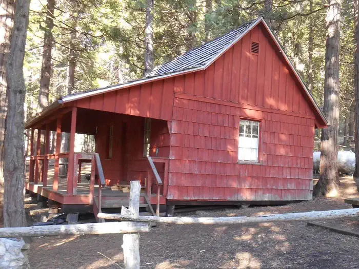
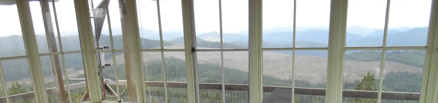
At an elevation of 3,800 feet, this quaint, red-planked, cedar-roofed cabin is tucked beneath a dense forest of cedar, pine and fir trees. Nicely shaded and secluded, an occasional brilliant shaft of sunlight breaks through the canopy. Large mammals such as elk, deer, black bear and cougar, as well as the smaller residents like squirrels, fox, raccoons and bats, are supported by the diverse forest habitat in the area. Learn more about bear safety.
Recreation
The Bunchgrass, Elkhorn and Beaver Creek trails leave from Whisky Camp for hiking or horseback riding. Additional activities include mountain biking, birding, wildlife viewing and photography. In the winter guests enjoy snowshoeing, cross-country skiing and snowmobiling (trails may be closed for public safety due to wildfire damage.
Guidebooks for Oregon
We earn a small commission if you buy through these links. It does not change what we list.

Titles come from Open Library's catalog, matched by subject heading or by title.
Reference
Questions people ask
Do I need a reservation at Whisky Camp Guard Station?
Sites at Whisky Camp Guard Station are reservable on Recreation.gov. Any walk-up sites are listed on the booking page.
Source: Recreation.gov
How much does it cost to camp at Whisky Camp Guard Station?
$40 per night
Source: Recreation.gov
What time is check-in at Whisky Camp Guard Station?
Check-in 11:00 AM, checkout 10:00 AM.
Source: Recreation.gov
How many sites does Whisky Camp Guard Station have?
1 site, including 1 cabin.
Source: Recreation.gov
Are pets allowed at Whisky Camp Guard Station?
Yes, pets are allowed at Whisky Camp Guard Station. Leash rules apply.
Source: Recreation.gov
Can I have a campfire at Whisky Camp Guard Station?
Fires are allowed in the provided rings under normal conditions. As of 2026-10-16, there are 2 active fires within 50 miles, so check current restrictions before you light one.
Source: Fire nearby
Are there accessible sites at Whisky Camp Guard Station?
Site 01 is listed accessible on Recreation.gov. What that covers (a paved pad, an accessible table, a nearby accessible restroom) is on each site's booking page.
Source: Recreation.gov
What is there to do at Whisky Camp Guard Station?
The Bunchgrass, Elkhorn and Beaver Creek trails leave from Whisky Camp for hiking or horseback riding. The Recreation section on this page has the rest.
Source: Recreation
What is the nearest town to Whisky Camp Guard Station?
Tiller, Oregon. Visitors may want to take some time to visit nearby Crater Lake National Park for a glimpse into the area's fascinating geological and cultural history.
Source: Getting there
What if Whisky Camp Guard Station is full?
The nearest public campgrounds are Cover Campground (5.1 mi, first-come), Three C Rock Campground (8.6 mi, first-come), and Ash Flat Campground (9.2 mi, first-come).
Source: Campgrounds nearby