Lower Camp Creek Campground
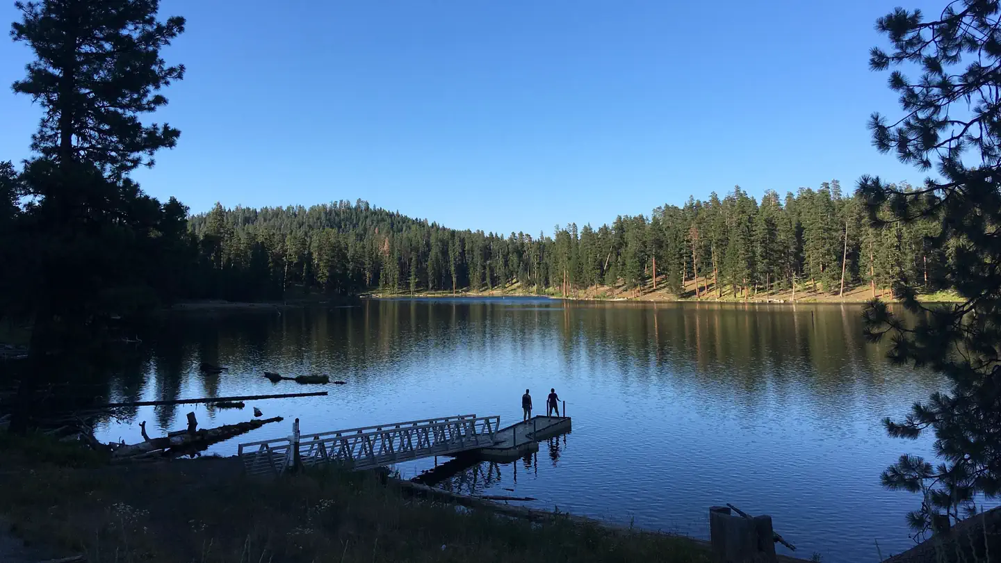
A pleasantly small campground tucked among ponderosa pines along a forest creek. This campground is popular with hunters. Just a short drive away from the beautiful Middle Fork of the John Day River. Less than a mile away is Arch Rock Trail #258, an ash flow tuff with a scenic arch and several small rock shelters eroded into the outcrop, allowing visitors a place to see fascinating geological features. A bit further at 13 miles away is Magone Lake Campground, a great place to swim, fish or hike.
More like this: reservable in Oregon · pets allowed in Oregon
Check availability on Recreation.gov ↗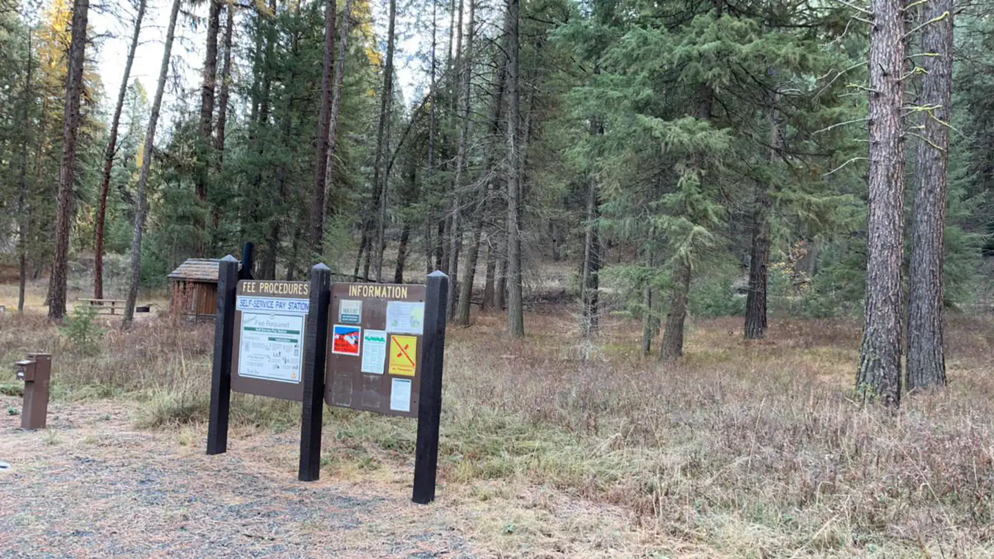
Site mix
| Standard, no hookups | 6 |
Site guide
6 sites. Tap a filter to narrow the list; the map follows.
| Site | Entry | Fits, ft | Surface | Shade | Water / sewer | People / vehicles | Fires |
|---|---|---|---|---|---|---|---|
| 1 | Pull-through | 50 | Gravel | Partial | No / No | 8 / 2 | Yes |
| 2 | Back-in | 40 | Gravel | Partial | No / No | 8 / 2 | Yes |
| 3 | Back-in | 45 | Gravel | Partial | No / No | 8 / 8 | Yes |
| 4 | Pull-through | 45 | Gravel | Partial | No / No | 8 / 2 | Yes |
| 5 | Back-in | 55 | Gravel | Partial | No / No | 8 / 2 | Yes |
| 6 | Back-in | 52 | Gravel | Partial | No / No | 8 / 2 | Yes |
Per-site records as published by the managing agency on Recreation.gov. Blank cells mean the agency listed nothing for that site.
Amenities & rules
| Hookups | None |
| Equipment | RVs & trailers, Tents |
| Pets | Allowed |
| Fees | $6/Night for single unit, $3/Night for extra vehicle |
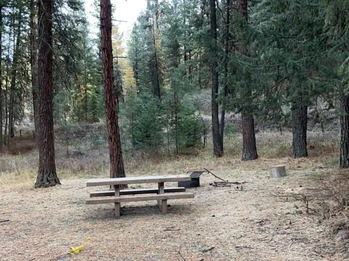
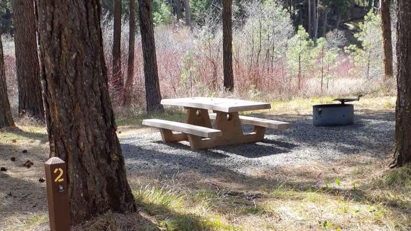
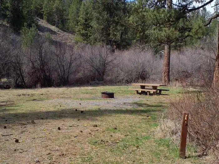
Each campsite has a picnic table, fire ring, and parking for camp trailers. Accessible vault toilet is conveniently located in the middle of the campground.
Individual sites vary. Confirm on Recreation.gov or with the managing office.
Season & status
| Status | Open |
| Forest | Malheur National Forest |
| Fees | $6/Night for single unit, $3/Night for extra vehicle |
Weather by month
Getting there
From the town of Prairie City, OR, travel west 3 miles on US Highway 26 to the junction with County Road 18. Turn right, follow County Road 18 approximately 9 miles to the junction with Forest Road 36, turn right and follow Forest Road 36 approximately 11 miles. The camp ground will be on the left.
| Nearest town | John Day, Oregon |
| Coordinates | 44.6725° N, 118.7996° W · Directions ↗ |
Fire nearby
- PrescribedGreenwood Rx
20 mi from the campground · 38 acres
- WildfireMccully
28 mi from the campground · 13,604 acres · 91% contained
- PrescribedDamon 2A Rx
33 mi from the campground · 85 acres
- PrescribedJane 102 Rx
45 mi from the campground · 3,000 acres
Distance is to the reported incident point, not the fire edge. Call the managing office before you drive.
Supplies & services
| Dump station | Dump station ↗ | 22.7 mi |
Locations © OpenStreetMap contributors. Call ahead; hours change seasonally.
Explore
Worth a stop
- Middle Fork John Day River
- Magone Recreation Area
- Sumpter Valley Interpretative Site
- Davis Creek Trail
- Vinegar Hill Indian Rock Scenic Area
- Austin House
- Bates State Park
- Dewitt Museum and Depot Park
- Kam Wah Chung & Co. State Heritage Site
- Grant County Ranch and Rodeo Museum
- Grant County Historical Museum
- 7.7 miDavis Creek West Trailhead ↗Trailhead
- 11.1 miSouth Fork Desolation Trailhead ↗Trailhead
Trails nearby
- 3.5 miArch Rock0.3 mi trail
Trail and trailhead records are the Forest Service's. Distances are straight-line to the nearer trail end. Trail conditions are not tracked here.
Public land it sits in
Malheur National Forest begins about 4.6 miles away, and it is the closest of these.
- 4.6 miMalheur National Forest ↗National Forest · Forest Service · 1,787,138 acres
- 10.5 miUmatilla National Forest ↗National Forest · Forest Service · 1,498,100 acres
- 12.5 miNorth Fork John Day Wilderness ↗Wilderness · Forest Service · 120,694 acres
Each unit is published as a centre point and an acreage rather than a boundary, so this section stands it in for a circle of the same area. Whether a campground is inside, and how far it is from one it is outside, are both approximate.
Other campgrounds nearby

Cabin and lookout rentals nearby
Recreation
Visitors can enjoy easy access to the Arch Rock Trail, where eroded ash flows and rock shelters offer a chance to experience fascinating geological features up close. The Middle Fork John Day River is just a short drive away, providing scenic landscapes and additional outdoor exploration. The campground is also a popular starting point for hunters.
Guidebooks for Oregon
We earn a small commission if you buy through these links. It does not change what we list.

Titles come from Open Library's catalog, matched by subject heading or by title.
Reference
Questions people ask
Do I need a reservation at Lower Camp Creek Campground?
Sites at Lower Camp Creek Campground are reservable on Recreation.gov. Any walk-up sites are listed on the booking page.
Source: Recreation.gov
How much does it cost to camp at Lower Camp Creek Campground?
$6/Night for single unit, $3/Night for extra vehicle
Source: Recreation.gov
Is Lower Camp Creek Campground open right now?
Open as of Oct 16, 2026.
Source: Forest Service status
How many sites does Lower Camp Creek Campground have?
6 sites, including 6 standard sites without power.
Source: Recreation.gov
Can I bring an RV to Lower Camp Creek Campground?
Lower Camp Creek Campground is listed for tents only.
Source: Recreation.gov
Are pets allowed at Lower Camp Creek Campground?
Yes, pets are allowed at Lower Camp Creek Campground. Leash rules apply.
Source: Recreation.gov
What is there to do at Lower Camp Creek Campground?
Visitors can enjoy easy access to the Arch Rock Trail, where eroded ash flows and rock shelters offer a chance to experience fascinating geological features up close. The Recreation section on this page has the rest.
Source: Recreation
What is the nearest town to Lower Camp Creek Campground?
John Day, Oregon. Middle Fork John Day River
Source: Getting there
What if Lower Camp Creek Campground is full?
The nearest public campgrounds are Head O' Boulder Forest Camp (7.8 mi, first-come), Middle Fork Campground (10 mi), and Magone Lake Campground (10.2 mi, partly first-come).
Source: Campgrounds nearby