Sunshine Guard Station
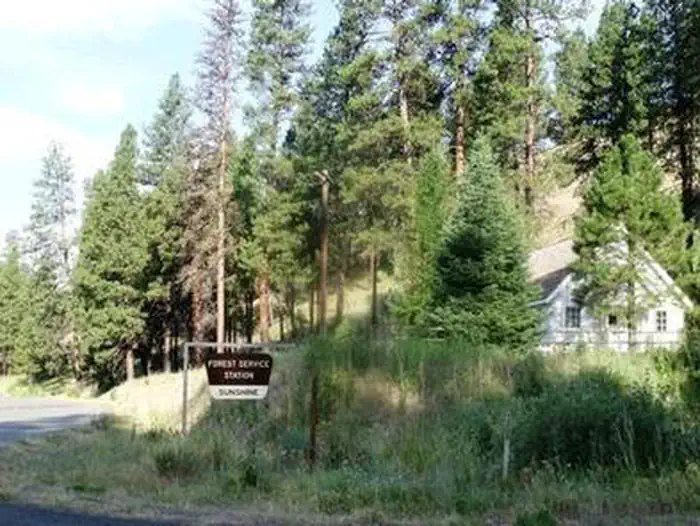
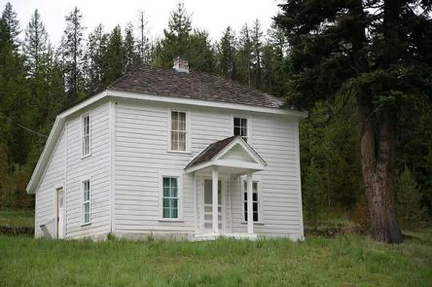
Sunshine Guard Station is situated along John Day River in the Malheur National Forest at an elevation of 3,700 feet, about 43 miles northeast of John Day, Oregon. The former guard station was built in 1936 and until the 1990s was used alternatively as a bunkhouse or a work station for fireguards. The guard station can be accessed by vehicle. Guests are responsible for their own travel arrangements and safety, and must bring several of their own amenities.
Check availability on Recreation.gov ↗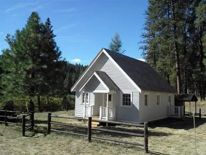
Site mix
| Cabins with electric | 1 |
Site guide
1 site. Tap a filter to narrow the list; the map follows.
| Site | Fits, ft | Surface | Shade | Waterfront | People / vehicles | Fires | Pets |
|---|---|---|---|---|---|---|---|
| 001 | 50 | Gravel | Partial | Riverfront | 7 / 3 | Yes | No |
Per-site records as published by the managing agency on Recreation.gov. Blank cells mean the agency listed nothing for that site. Check-in 4:00 PM, checkout 12:00 PM.
Amenities & rules
| Max vehicle length | 30 ft |
| Campfires | Allowed, subject to restrictions |
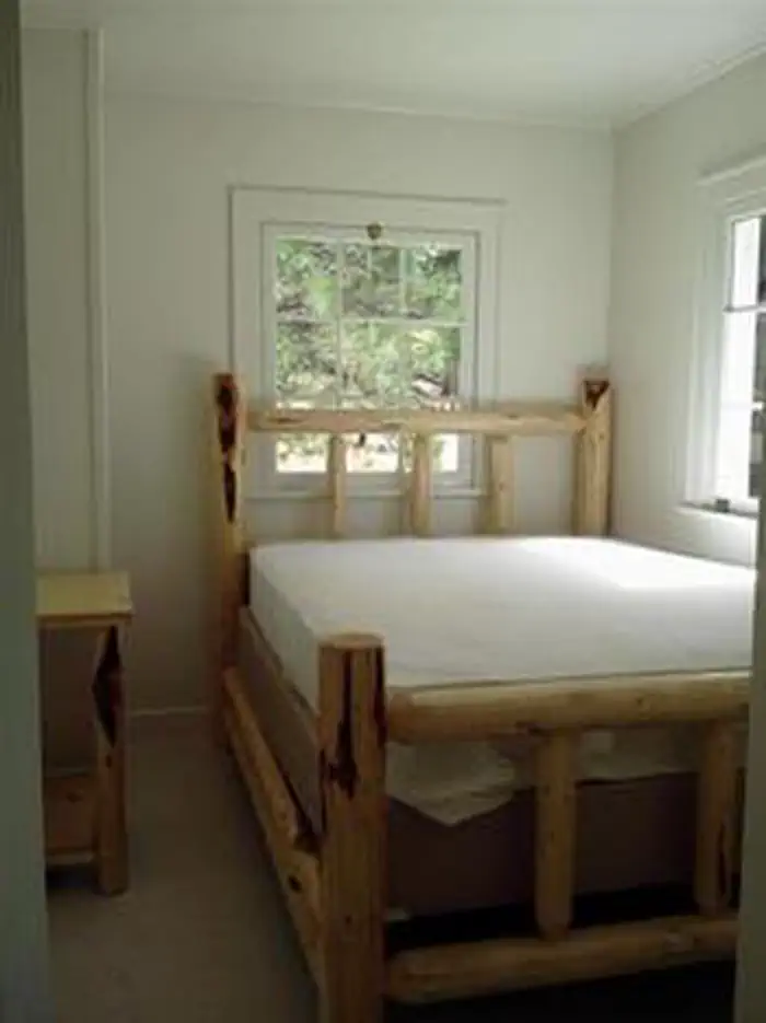
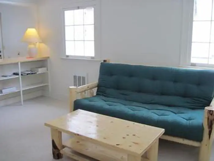
This rustic four-room cabin sleeps up to six and has a kitchen, living room, and two bedrooms. The living room is furnished with a futon, two chairs, a coffee table and an end table. The larger bedroom is furnished with a queen-sized bed and a closet, while the smaller bedroom offers a queen-sized bed and a chair. The kitchen is furnished with a table and four chairs, electric refrigerator, and stove. Electric heat and lights are provided, and a vault toilet is located next to the cabin. There is no water in the cabin. Guests must bring their own water for drinking, cooking and washing. Roads to the guard station are paved and maintained for summer and winter access. No pets allowed in the Guard Station.
Individual sites vary. Confirm on Recreation.gov or with the managing office.
Weather by month
Getting there
From Prairie City, OR. travel east on US Highway 26 approximately 13 miles to the junction of US Highway 7. Turn left on US Highway 7, travel one mile to the junction with County Road 20/ Middle Fork Road. Turn left and follow County Road 20 approximately 13 miles, the guard station will be on the right.
| Nearest town | John Day, Oregon |
| Coordinates | 44.6659° N, 118.7001° W · Directions ↗ |
Fire nearby
- PrescribedGreenwood Rx
17 mi from the campground · 38 acres
- WildfireMccully
23 mi from the campground · 13,604 acres · 91% contained
- PrescribedDamon 2A Rx
34 mi from the campground · 85 acres
- PrescribedJane 102 Rx
44 mi from the campground · 3,000 acres
Distance is to the reported incident point, not the fire edge. Call the managing office before you drive.
Supplies & services
| Dump station | Dump station ↗ | 25.8 mi |
Locations © OpenStreetMap contributors. Call ahead; hours change seasonally.
Explore
Worth a stop
- 3 miDavis Creek West Trailhead ↗Trailhead
- 10 miSouth Fork Desolation Trailhead ↗Trailhead
Trails nearby
- 3.7 miDavis Creek ↗8.5 mi trail
- 3.7 miBig Boulder1.9 mi trail
- 3.8 miSunrise Butte4.4 mi trail
- 4 miTempest Mine ↗4.7 mi trail
Trail and trailhead records are the Forest Service's. Distances are straight-line to the nearer trail end. Trail conditions are not tracked here.
Public land it sits in
Malheur National Forest begins about 2.8 miles away, and it is the closest of these.
- 2.8 miMalheur National Forest ↗National Forest · Forest Service · 1,787,138 acres
- 10.2 miNorth Fork John Day Wilderness ↗Wilderness · Forest Service · 120,694 acres
- 14.5 miUmatilla National Forest ↗National Forest · Forest Service · 1,498,100 acres
Each unit is published as a centre point and an acreage rather than a boundary, so this section stands it in for a circle of the same area. Whether a campground is inside, and how far it is from one it is outside, are both approximate.
Other campgrounds nearby

Cabin and lookout rentals nearby
On the National Register nearby
- Sumpter Valley Railway Passenger StationBuilding · Prairie City · 14.4 mi
Natural features
The guard station has a view of the Middle Fork of the John Day River. The Vinegar Hill Forest/Indian Rock Scenic Area is nearby. The 25,000-acre area includes a 10 mile ridgeline that comprises the summit of the Greenhorn Range in the Blue Mountains of eastern Oregon. Outcrops of serpentine, rhyolite, basalt, granite, and shale can be seen. Agates can also be found on some of the rocky slopes. Wildlife includes elk and deer, songbirds and, in the river, steelhead and trout. Nearly every type of alpine wildflower found west of the Rockies can be blooming at different times in this area. Magone Lake is about 20 miles west of the guard station.
Recreation
Recreational options include fishing for steelhead and rainbow trout in the John Day River. Restrictions apply; visitors should refer to Oregon State regulations. There are hiking trails and back roads to the north of the guard station that lead into the nearby Vinegar Hill / Indian Rock Scenic Area. Wildlife viewing is popular, as is scenic driving.
Guidebooks for Oregon
We earn a small commission if you buy through these links. It does not change what we list.

Titles come from Open Library's catalog, matched by subject heading or by title.
Reference
Questions people ask
Do I need a reservation at Sunshine Guard Station?
Sites at Sunshine Guard Station are reservable on Recreation.gov. Any walk-up sites are listed on the booking page.
Source: Recreation.gov
What time is check-in at Sunshine Guard Station?
Check-in 4:00 PM, checkout 12:00 PM.
Source: Recreation.gov
How many sites does Sunshine Guard Station have?
1 site, including 1 cabin with power.
Source: Recreation.gov
Will my RV fit at Sunshine Guard Station?
The longest site here provides 30 feet of vehicle capacity. Most sites are shorter. The sidebar tool checks a trailer or motorhome length against every site.
Source: Will my RV fit
Can I have a campfire at Sunshine Guard Station?
Fires are allowed in the provided rings under normal conditions. As of 2026-10-16, there are 4 active fires within 50 miles, so check current restrictions before you light one.
Source: Fire nearby
What is there to do at Sunshine Guard Station?
Recreational options include fishing for steelhead and rainbow trout in the John Day River. The Recreation section on this page has the rest.
Source: Recreation
What is the nearest town to Sunshine Guard Station?
John Day, Oregon.
Source: Getting there
What if Sunshine Guard Station is full?
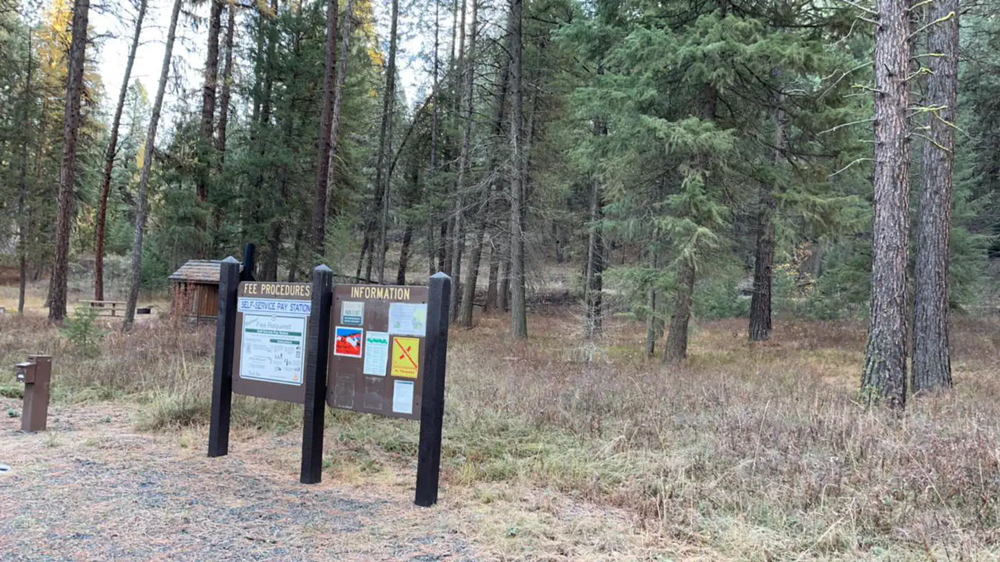
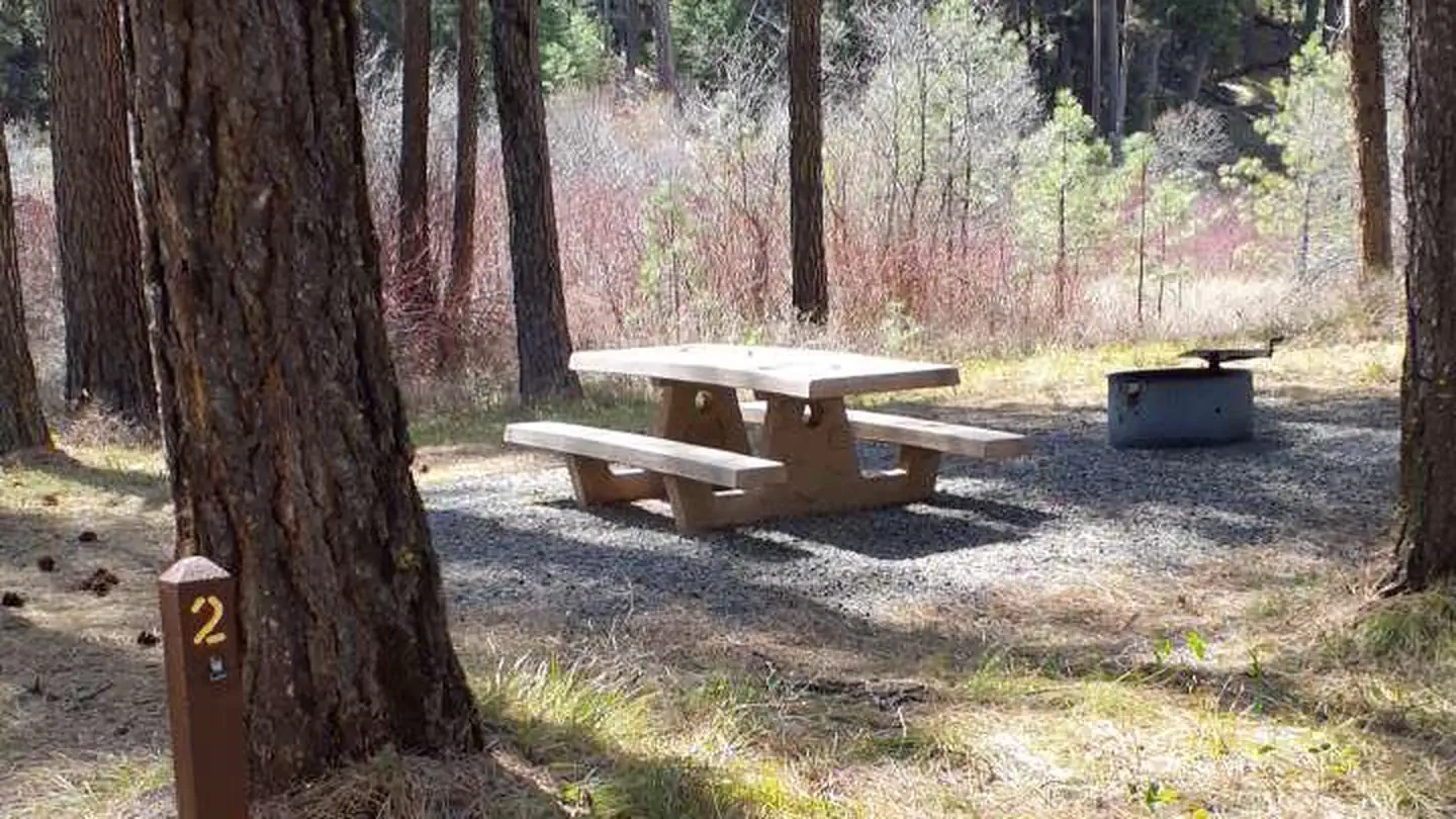
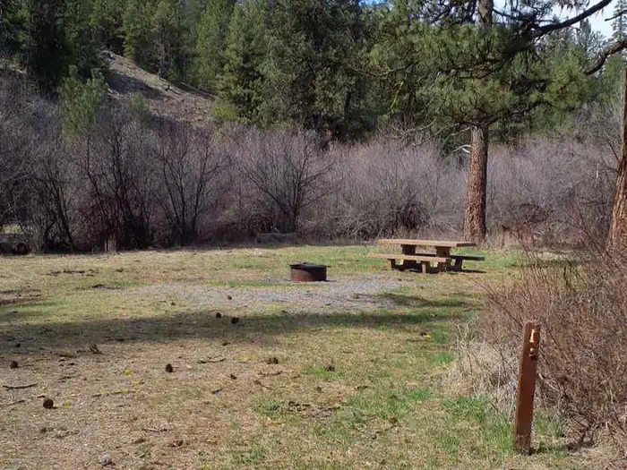
The nearest public campgrounds are Lower Camp Creek Campground (4.9 mi), Middle Fork Campground (5.3 mi), and Head O' Boulder Forest Camp (6.2 mi, first-come).
Source: Campgrounds nearby