Umatilla Forks Campground
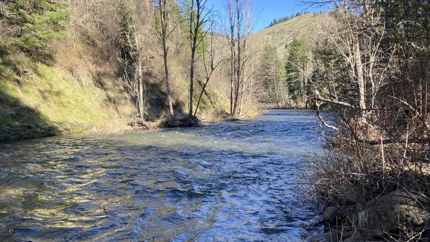
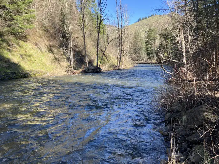
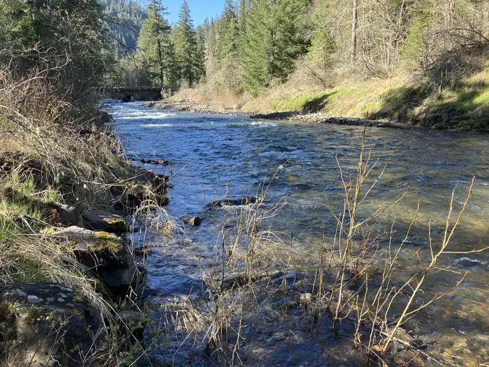
Situated between the South Fork and the North Fork of the Umatilla River, this campground offers many more activities than just camping. Fishing (catch and release) and hiking in the North Fork Umatilla Wilderness are popular from early spring to late fall. With campsites nestled within a riparian area among an ample mix of conifers and deciduous trees and heavy vegetation that provides great privacy, you will think you are camping in the wilderness itself!
Sites are first-come, first-served. Recreation.gov lists this campground for paying on site, and you may be able to pay with the Scan and Pay feature of its app.
More like this: first-come in Oregon · tent only in Oregon

Site mix
| Tent-only | 8 |
Amenities & rules
| Equipment | Tents |
| Fees | An overnight camping fee of $10.00 will be charged. An additional $5 "per extra vehicle" fee will be charged for each vehicle exceeding the maximum two vehicle per site allowance. |
Fire rings, picnic tables, one patable water site and three vault toilets.
Individual sites vary. Confirm on Recreation.gov or with the managing office.
Season & status
| Status | Open |
| Season | April |
| Forest | Umatilla National Forest |
| Fees | An overnight camping fee of $10.00 will be charged. An additional $5 "per extra vehicle" fee will be charged for each vehicle exceeding the maximum two vehicle per site allowance. |
Weather by month
Getting there
From Pendleton, Oregon: Drive east for 7 miles on Interstate 84 and take Exit 216. Go left (north) for 2 miles to the blinking 4-way stoplight. Take a right onto Mission Road and continue onto Cayuse Road/County Road 931/Emigrant Road. After 1.7 miles turn left onto Cayuse Road (follow Bar M Ranch signs).
| Nearest town | Walla Walla, Oregon |
| Coordinates | 45.7239° N, 118.1875° W · Directions ↗ |
Fire nearby
- WildfireHagen
4 mi from the campground · 61,380 acres · 99% contained
- WildfireNorth Cayuse
14 mi from the campground · 4,887 acres · 97% contained
- WildfireParadise
22 mi from the campground · 9,656 acres · 86% contained
- PrescribedBird Track 610/607A Rx
26 mi from the campground · 141 acres
Distance is to the reported incident point, not the fire edge. Call the managing office before you drive.
Supplies & services
| Dump station | Dump station ↗ | 17.7 mi |
Locations © OpenStreetMap contributors. Call ahead; hours change seasonally.
Explore
Worth a stop
North Fork Umatilla WIlderness, North and South Fork Umatilla Rivers.
- 0.4 miBuck Creek Trailhead ↗Trailhead
- 4.7 miCoyote Ridge Trailhead ↗Trailhead
- 12.9 miJubilee Lake Day Use Area ↗Day use
Trails nearby
Trailheads within three miles
- 0.2 miNorth Fork Umatilla Trailhead ↗Umatilla National Forest · Season March
- 0.4 miBuck Creek Trailhead ↗Umatilla National Forest
- 0.6 miCorporation / Lick Creek Trailhead ↗Umatilla National Forest · Season May to November
- 1.7 miZig Zag Springs Trailhead ↗Umatilla National Forest
Trail and trailhead records are the Forest Service's. Distances are straight-line to the nearer trail end. Trail conditions are not tracked here.
Public land it sits in
This campground sits inside North Fork Umatilla Wilderness.
- inNorth Fork Umatilla Wilderness ↗Wilderness · Forest Service · 20,213 acres
- 13.1 miWallowa-Whitman National Forest ↗National Forest · Forest Service · 2,525,292 acres
Each unit is published as a centre point and an acreage rather than a boundary, so this section stands it in for a circle of the same area. Whether a campground is inside, and how far it is from one it is outside, are both approximate.
Other campgrounds nearby
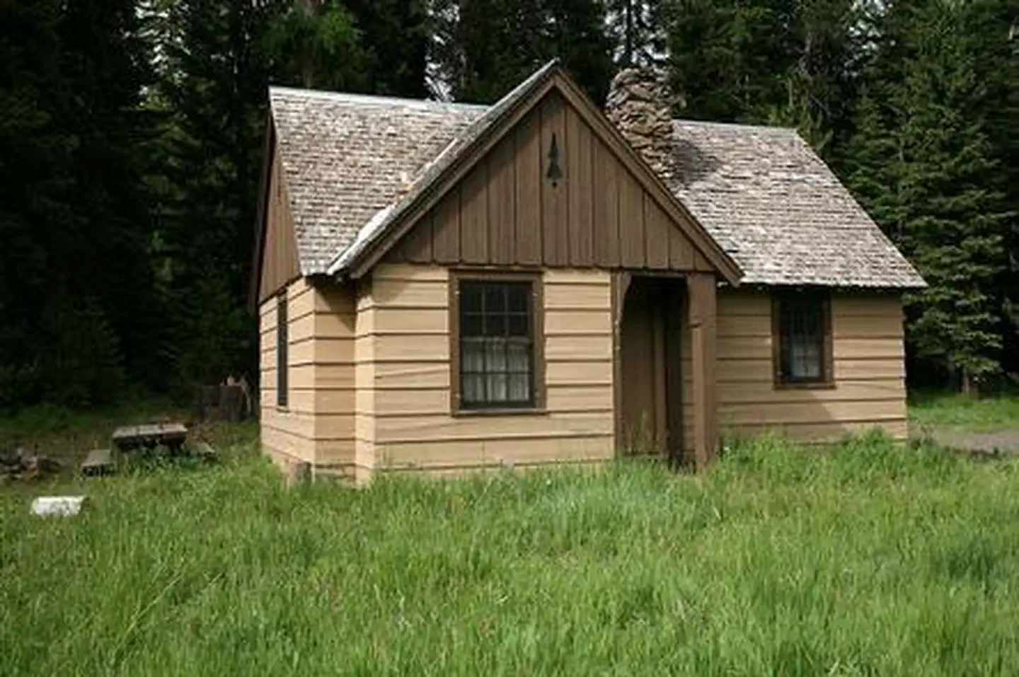
Cabin and lookout rentals nearby
On the National Register nearby
- Weston SchoolHistoric district · Weston · 12.9 mi
- Weston Commercial Historic DistrictHistoric district · Weston · 13 mi
- Isham Saling HouseBuilding · Weston · 13.1 mi
Natural features
Situated between the South Fork and the North Fork of the Umatilla River with a fantastic view the lower North Fork Umatilla Wilderness and Graves Butte.
Recreation
South Fork and the North Fork of the Umatilla River for fishing and hiking in the North Fork Umatilla Wilderness.
Guidebooks for Oregon
We earn a small commission if you buy through these links. It does not change what we list.

Titles come from Open Library's catalog, matched by subject heading or by title.
Reference
Questions people ask
Do I need a reservation at Umatilla Forks Campground?
No. Umatilla Forks Campground is first-come, first-served. Sites are taken on arrival and paid at the fee station.
Source: Forest Service
How much does it cost to camp at Umatilla Forks Campground?
An overnight camping fee of $10.00 will be charged. An additional $5 "per extra vehicle" fee will be charged for each vehicle exceeding the maximum two vehicle per site allowance.
Source: Forest Service
Is Umatilla Forks Campground open right now?
Open as of Oct 16, 2026. Season April.
Source: Forest Service status
How many sites does Umatilla Forks Campground have?
8 sites, including 8 tent-only sites.
Source: Forest Service
Can I bring an RV to Umatilla Forks Campground?
Umatilla Forks Campground is listed for tents only.
Source: Forest Service
What is the nearest town to Umatilla Forks Campground?
Walla Walla, Oregon. North Fork Umatilla WIlderness, North and South Fork Umatilla Rivers.
Source: Getting there
What if Umatilla Forks Campground is full?
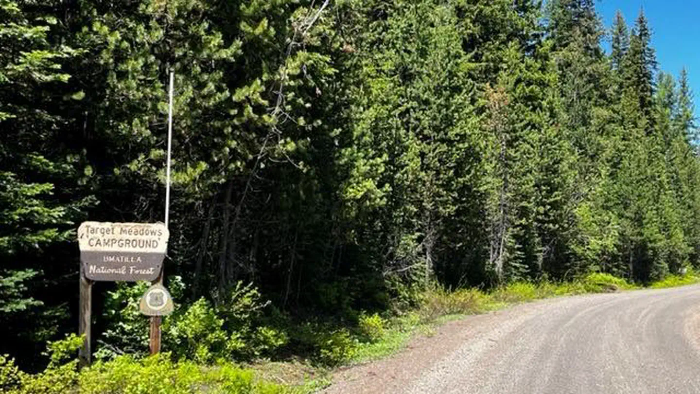
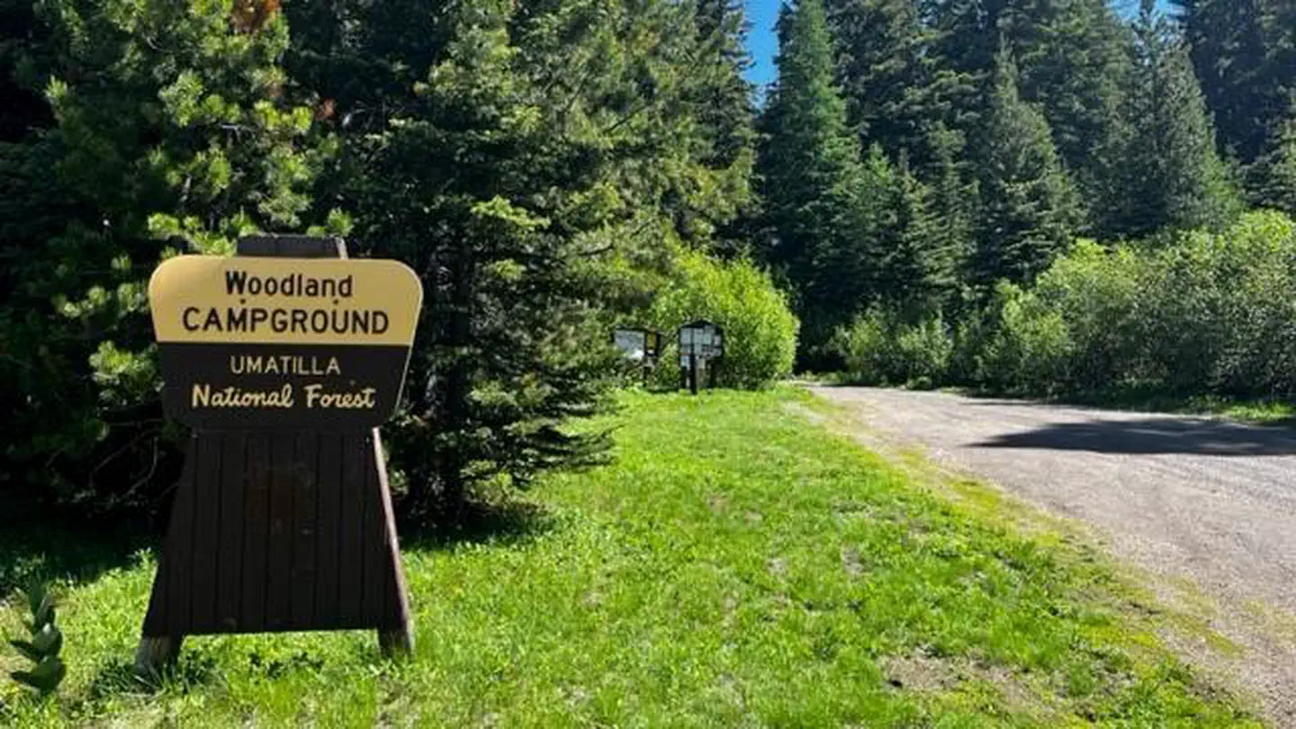
The nearest public campgrounds are Woodward Campground (5.8 mi, partly first-come), Target Meadows Campground (7.8 mi, partly first-come), and Woodland Campground (8.6 mi, partly first-come).
Source: Campgrounds nearby