Jubilee Lake Campground
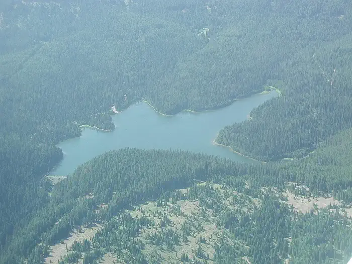
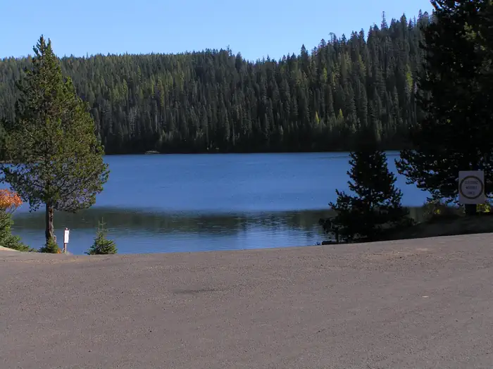
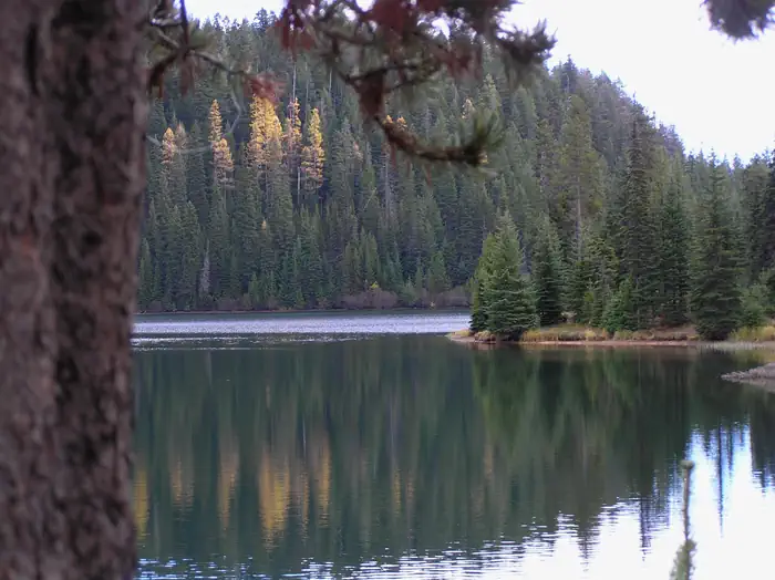
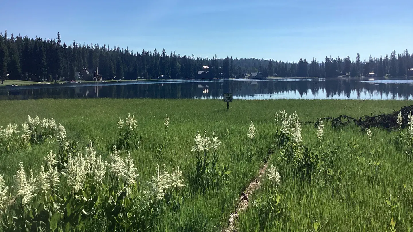
This high elevation, spruce fir surrounded campground is the largest and most popular campground on the Umatilla National Forest. Jubilee Lake is nestled among the trees and the lake provides a beautiful setting for day-use as well as camping. This site is known for good fishing and swimming and is a wonderful way to escape the summer heat. Jubilee Lake campground offers a variety of recreational actitivies for visitors of all abilities, including fishing and hiking trails.
Some sites take reservations on Recreation.gov. Others are first-come, first-served.
More like this: first-come in Oregon · reservable in Oregon · pets allowed in Oregon
Check availability on Recreation.gov ↗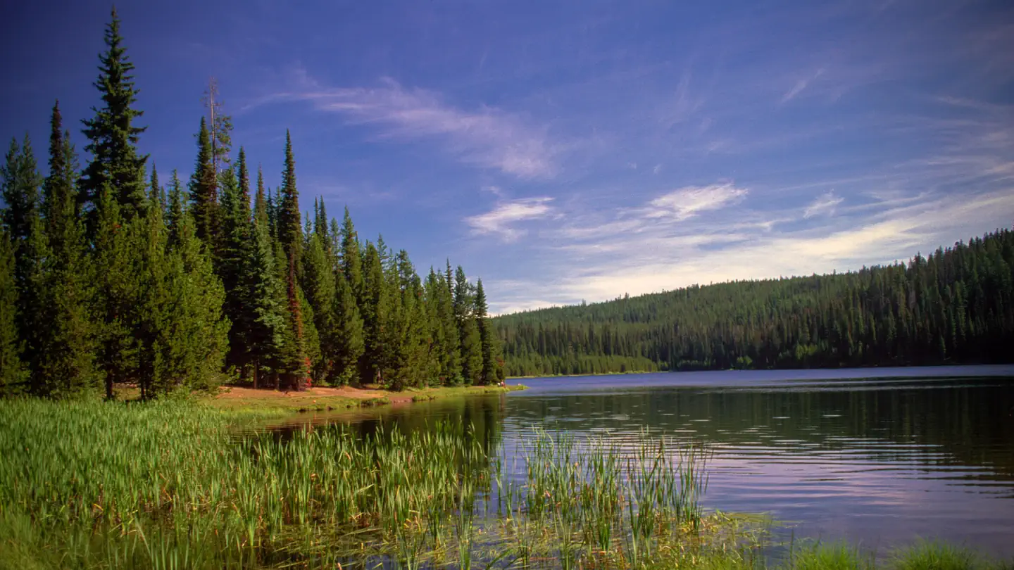
Site mix
| Standard, no hookups | 47 |
| Tent-only | 6 |
| Host/management | 2 |
Site guide
Will my RV fit
The longest site here provides 40 feet of vehicle capacity. Most sites are shorter.
53 sites. Tap a filter to narrow the list; the map follows.
| Site | Type | Entry | Fits, ft | Surface | Shade | Water / sewer | People / vehicles | Fires |
|---|---|---|---|---|---|---|---|---|
| 1 | Tent only | Partial | No / – | 8 / 2 | Yes | |||
| 2 | Standard | Back-in | 30 | Gravel | Partial | No / – | 8 / 2 | Yes |
| 3 | Standard | Back-in | 20 | Gravel | Partial | No / – | 8 / 2 | Yes |
| 4 | Standard | Pull-through | 30 | Gravel | Partial | No / – | 8 / 2 | Yes |
| 5 | Standard | Back-in | 20 | Gravel | Partial | No / – | 8 / 2 | Yes |
| 6 | Standard | Back-in | 30 | Gravel | Partial | No / – | 8 / 2 | Yes |
| 7 | Standard | Back-in | 30 | Gravel | Partial | No / – | 8 / 2 | Yes |
| 8 | Standard | Pull-through | 40 | Gravel | Partial | No / – | 8 / 2 | Yes |
| 9 | Standard | Pull-through | 20 | Gravel | Partial | No / – | 12 / 3 | Yes |
| 10 | Standard | Back-in | 30 | Gravel | Partial | No / – | 8 / 2 | Yes |
Per-site records as published by the managing agency on Recreation.gov. Blank cells mean the agency listed nothing for that site. Check-in 2:00 PM, checkout 12:00 PM.

Amenities & rules
| Hookups | None |
| Equipment | RVs & trailers, Tents |
| Pets | Allowed |
| Campfires | Allowed, subject to restrictions |
This campground includes 48 tent/rv sites, 5 tent only sites, 4 vault toilets, 6 flush toilets, a boat ramp, and a day use area. Potabale water is located throughout the campground and trash service is provided. The 2.8 mile Jubilee Lake National Recreation Trail offers a pleasent 2.8 mile stroll around the lake.
Individual sites vary. Confirm on Recreation.gov or with the managing office.
Season & status
| Status | Open |
| Season | July to November |
| Forest | Umatilla National Forest |
| Booking | Reservations available on recreation.gov or by calling 1-877-444-6777. |
| Fees | During the summer months when full-facility service is available (water, garbage, camp host, etc.) a $17.00 fee is charged for each single campsite and $24.00 for each double campsite, as well as $5.00/night for each additional vehicle. There is a $3.00 day-use fee for those not camping overnight. |
Weather by month
Getting there
From Weston, Oregon: Travel 20 miles east of Weston on Highway 204. Turn left (north) onto Forest Service Road 64. Follow the road for 12 miles and the campground entrance will be on your right. From Elgin, Oregon: Travel 21 miles northwest of Elgin on Highway 204. Turn right (north) onto Forest Service Road 64.
| Nearest town | Walla Walla, Oregon |
| Coordinates | 45.8339° N, 117.9650° W · Directions ↗ |
Fire nearby
- WildfireParadise
11 mi from the campground · 9,656 acres · 86% contained
- WildfireHagen
17 mi from the campground · 61,380 acres · 99% contained
- WildfireNorth Cayuse
27 mi from the campground · 4,887 acres · 97% contained
- PrescribedLojo Starvation 13A Underburn Rx
35 mi from the campground · 110 acres
Distance is to the reported incident point, not the fire edge. Call the managing office before you drive.
Supplies & services
| Dump station | Dump station ↗ | 30.8 mi |
| Outdoor gear | The Sports Corral ↗ | 48.5 mi |
Locations © OpenStreetMap contributors. Call ahead; hours change seasonally.
Explore
Video
Video of Jubilee Lake Campground, OR from Jace H.
Worth a stop
The unincorporated town of Tollgate is located 11.5 miles southwest of the campground. It has a store/resteraunt with gas being available. The 177,423 acre Wenaha-Tucannon Wilderness Area is accessable, via the Timothy Springs Trailhead, 7.8 miles northeast of the campground.
- 1.4 miJubilee Lake Day Use Area ↗Day use
- 4.1 miTimothy Springs Trailhead ↗Trailhead
- 8.7 miCoyote Ridge Trailhead ↗Trailhead
Trails nearby
Trailheads within three miles
- 2.4 miRough Fork Trailhead ↗Umatilla National Forest · Season May to November
Trail and trailhead records are the Forest Service's. Distances are straight-line to the nearer trail end. Trail conditions are not tracked here.
Public land it sits in
North Fork Umatilla Wilderness begins about 8.3 miles away, and it is the closest of these.
- 8.3 miNorth Fork Umatilla Wilderness ↗Wilderness · Forest Service · 20,213 acres
- 8.4 miWenaha-Tucannon Wilderness ↗Wilderness · Forest Service · 176,737 acres
- 12.4 miWallowa-Whitman National Forest ↗National Forest · Forest Service · 2,525,292 acres
Each unit is published as a centre point and an acreage rather than a boundary, so this section stands it in for a circle of the same area. Whether a campground is inside, and how far it is from one it is outside, are both approximate.
Other campgrounds nearby

Cabin and lookout rentals nearby
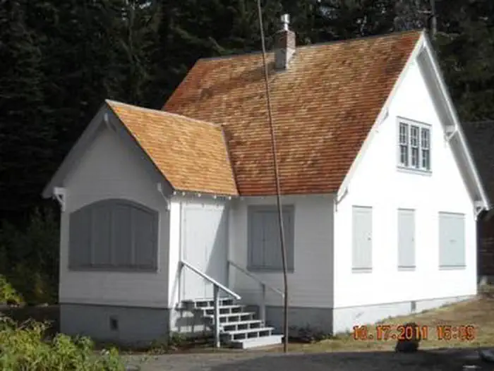
Natural features
The Umatilla National Forest is located in the Blue Mountains of southeast Washington and northeast Oregon and offers a vast selection of majestic scenery and recreational opportunities. It covers 1.4 million acres of diverse landscapes and plant communities. The Forest has some mountainous terrain, but most of the Forest consists of v-shaped valleys separated by narrow ridges or plateaus. The landscape also includes heavily timbered slopes, grassland ridges and benches, and bold basalt outcroppings. Elevations range from 1,600 to 8,000 feet above sea level. Changes in weather are common, but summers are generally warm and dry with cool evenings. Cold, snowy winters and mild temperatures during spring and fall can be expected.
Recreation
Jubilee Lake campground offers a variety of recreational actitivies for visitors of all abilities, including fishing, crawfishing, a 2.8 mile hiking trail, boating (non-motorized or electric trolling motor only), and wildlife viewing.
Guidebooks for Oregon
We earn a small commission if you buy through these links. It does not change what we list.

Titles come from Open Library's catalog, matched by subject heading or by title.
Reference
Questions people ask
Do I need a reservation at Jubilee Lake Campground?
For some sites. Some sites take reservations on Recreation.gov. Others are first-come, first-served.
Source: Recreation.gov
How much does it cost to camp at Jubilee Lake Campground?
During the summer months when full-facility service is available (water, garbage, camp host, etc.) a $17.00 fee is charged for each single campsite and $24.00 for each double campsite, as well as $5.00/night for each additional vehicle. There is a $3.00 day-use fee for those not camping overnight.
Source: Recreation.gov
What time is check-in at Jubilee Lake Campground?
Check-in 2:00 PM, checkout 12:00 PM.
Source: Recreation.gov
Is Jubilee Lake Campground open right now?
Open as of Oct 16, 2026. Season July to November.
Source: Forest Service status
How many sites does Jubilee Lake Campground have?
55 sites, including 47 standard sites without power and 6 tent-only sites.
Source: Recreation.gov
Can I bring an RV to Jubilee Lake Campground?
Jubilee Lake Campground is listed for tents only.
Source: Recreation.gov
Are there showers or a dump station at Jubilee Lake Campground?
This campground includes 48 tent/rv sites, 5 tent only sites, 4 vault toilets, 6 flush toilets, a boat ramp, and a day use area.
Source: Recreation.gov
Are pets allowed at Jubilee Lake Campground?
Yes, pets are allowed at Jubilee Lake Campground. Leash rules apply.
Source: Recreation.gov
Can I have a campfire at Jubilee Lake Campground?
Fires are allowed in the provided rings under normal conditions. As of 2026-10-16, there are 4 active fires within 50 miles, so check current restrictions before you light one.
Source: Fire nearby
What is the nearest town to Jubilee Lake Campground?
Walla Walla, Oregon. The unincorporated town of Tollgate is located 11.5 miles southwest of the campground.
Source: Getting there
What if Jubilee Lake Campground is full?
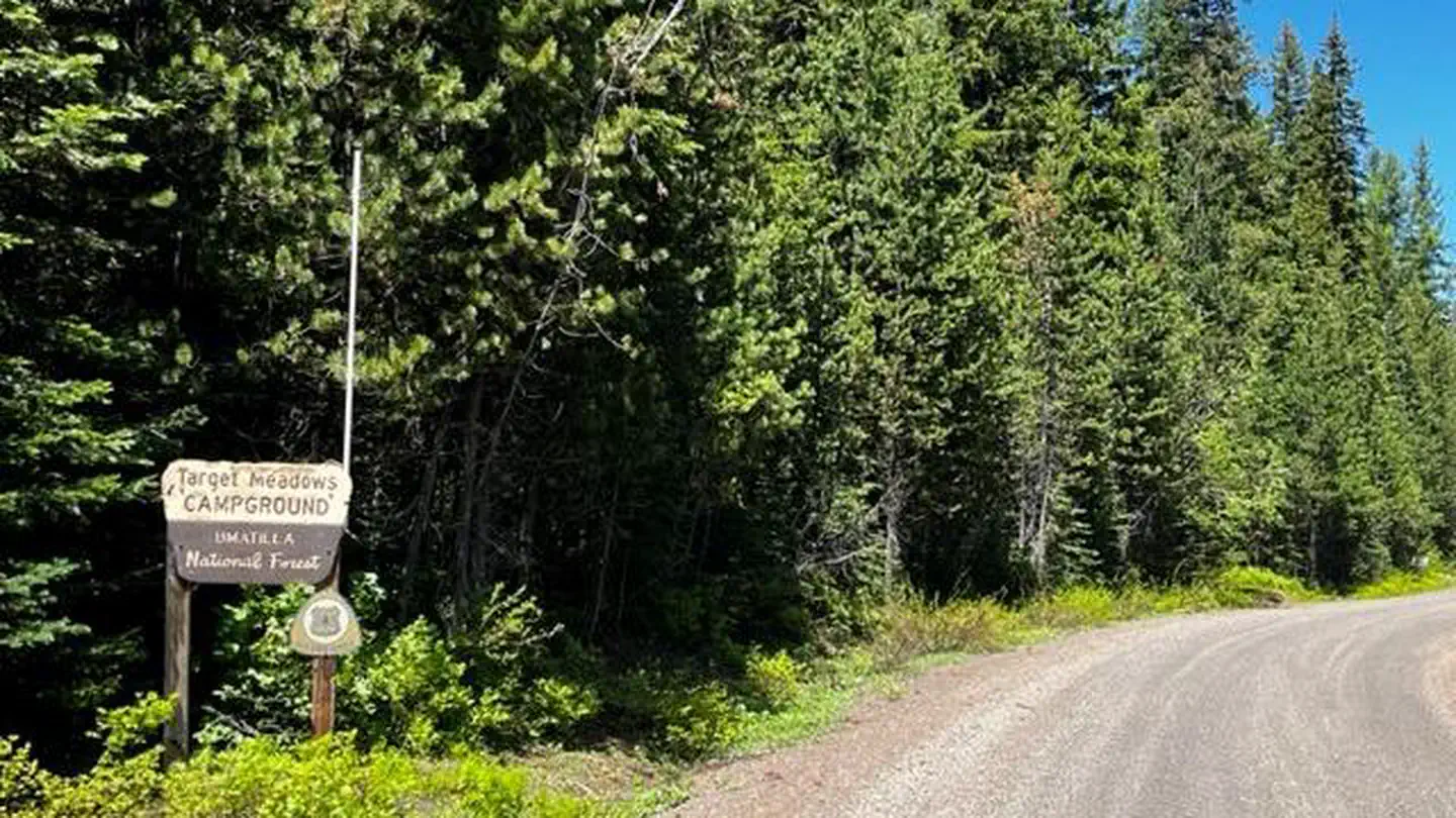
The nearest public campgrounds are Mottet Campground (2.4 mi, first-come), Target Meadows Campground (5.7 mi, partly first-come), and Woodward Campground (7.4 mi, partly first-come).
Source: Campgrounds nearby