South Temple Wash
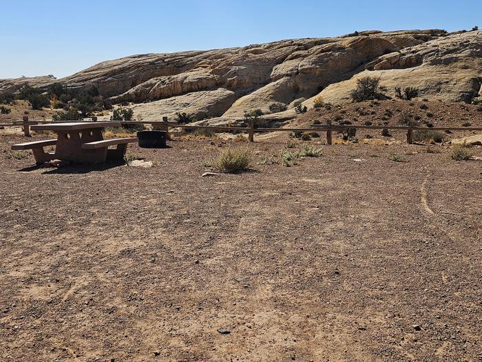
South Temple Wash has two vault toilets and an information kiosk. All campsites have fire rings, flat gravel surfaces, and picnic tables. South Temple Wash is a fee campground in the San Rafael Swell Recreation Area.
More like this: reservable in Utah · group sites in Utah · dark sky in Utah
Check availability on Recreation.gov ↗


Site mix
| Standard, no hookups | 10 |
| Group sites | 2 |
Site guide
12 sites. Tap a filter to narrow the list; the map follows.
| Site | Type | Fits, ft | Surface | Shade |
|---|---|---|---|---|
| Site 02 | Standard | 80 | Gravel | |
| Site 03 | Standard | 80 | Gravel | |
| Site 04 | Standard | 80 | Gravel | |
| Site 05 | Standard | 80 | Gravel | |
| Site 06 | Standard | 80 | Gravel | |
| Site 07 | Standard | 80 | Gravel | |
| Site 08 | Standard | 80 | Gravel | |
| Site 09 | Standard | 80 | Gravel | |
| Site 10 | Standard | 80 | Gravel | |
| Site 11 | Standard | 80 | Gravel |
Per-site records as published by the managing agency on Recreation.gov. Blank cells mean the agency listed nothing for that site.
Amenities & rules
| Fees | Sites 1 & 12 are group sites at $50/night. Sites 2-11 are individual sites at $15/night. |
| Dark sky | 4.6 miles from Goblin Valley State Park, a certified International Dark Sky Park |
South Temple Wash has two vault toilets and an information kiosk. All campsites have fire rings, flat gravel surfaces, and picnic tables.
Individual sites vary. Confirm on Recreation.gov or with the managing office.
Weather by month
Getting there
| Coordinates | 38.6568° N, 110.6612° W · Directions ↗ |
Fire nearby
- PrescribedSalina Canyon East Rx
46 mi from the campground · 17,375 acres
Distance is to the reported incident point, not the fire edge. Call the managing office before you drive.
Supplies & services
| Dump station | Dump station ↗ | 6.4 mi |
Locations © OpenStreetMap contributors. Call ahead; hours change seasonally.
Explore
Video
Temple Mountain Road with Family Butte - Lower San Rafael Swell
Worth a stop
Goblin Valley State Park (fee area), 2 miles east: The state park entrance is two miles up the Temple Wash Road going back towards Highway 24. The state park is famous for its unique landscape of sandstone hoodoos (goblins) and buttes. The park has hiking and mountain biking trails as well as a fee campground and yurt rentals. Little Wild Horse Canyon: The Little Wild Horse slot canyon is the most popular hike in the San Rafael Reef. Visitors can appreciate sculpted sandstone walls and narrows through the three-mile canyon. Paired with Bell Canyon via the Behind-the-Reef Road, this makes for an eight-mile moderate day hike with varied scenery. The canyon bottoms are gravel and there are some obstacles requiring straightforward scrambling. Temple Mountain Mining District: The townsite is in the heart of the historic Temple Mountain Mining District. Visitors can visit sites and learn about the history of Cold War-era uranium mining by foot or vehicle.
- 0.6 miSkylight Arch Trailhead ↗Trailhead
- 4.6 miCrack Canyon Trailhead ↗Trailhead
Public land it sits in
Little Ocean Draw Wilderness begins about 4.4 miles away, and it is the closest of these.
- 4.4 miLittle Ocean Draw Wilderness ↗Wilderness · Bureau of Land Management · 20,660 acres
- 5.8 miBig Wild Horse Mesa Wilderness ↗Wilderness · Bureau of Land Management · 18,192 acres
- 6.3 miSan Rafael Reef Wilderness ↗Wilderness · Bureau of Land Management · 60,442 acres
Each unit is published as a centre point and an acreage rather than a boundary, so this section stands it in for a circle of the same area. Whether a campground is inside, and how far it is from one it is outside, are both approximate.
Other campgrounds nearby

Natural features
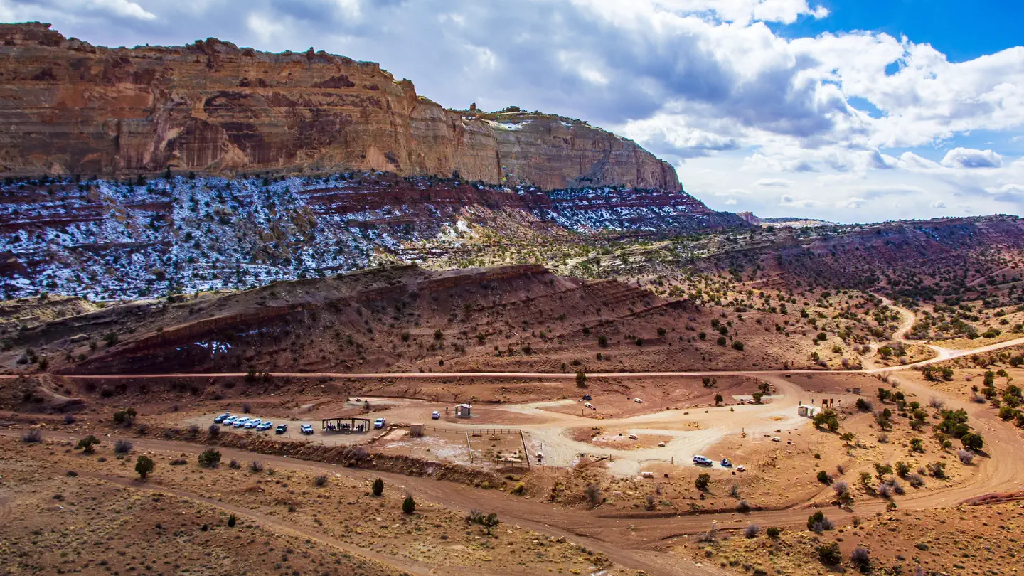
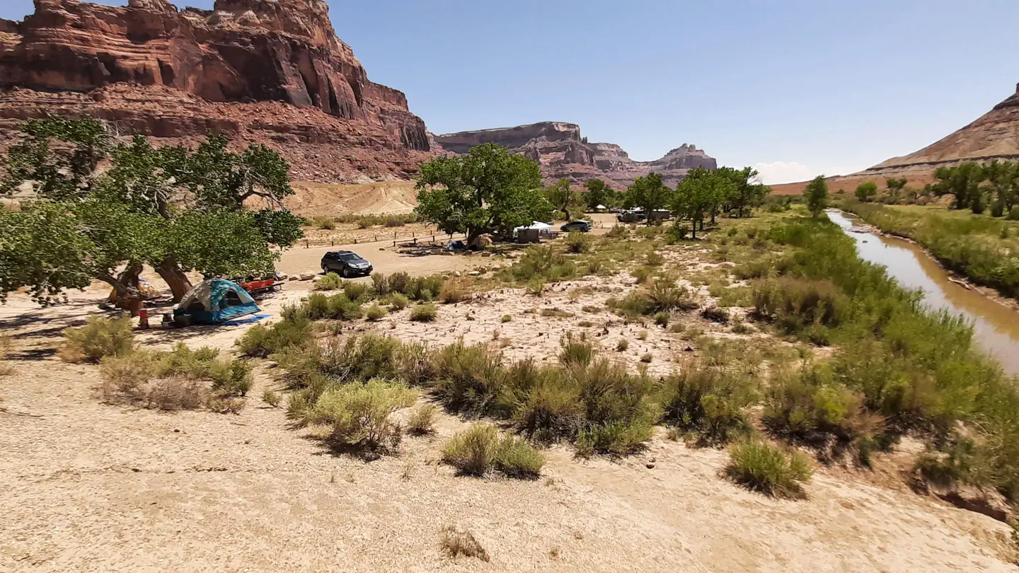
The campground is at the Eastern mouth of a short, steep canyon (Temple Wash) which cuts through the San Rafael Reef. One of the most distinctive geologic features of central Utah, the Reef is a 75-mile-long rocky spine that reaches up to 1,000 feet high and forms the eastern edge of the San Rafael Swell. The Temple Mountain area provides acces to many scenic slot canyons, hills, and spires cut from red and white rock.
Recreation
South Temple Wash campground is located along the Temple Mountain Road on the east side of the Reef. A short distance back to the east of the campground is the turn to go to Goblin Valley State Park. Turning west before the entrance of the state park will lead to Little Wild Horse Canyon, a popular hike for many in a slot canyon. From the campground and driving west on the Temple Mountain Road will lead to the Temple Mountain Pictograph Panel, a short drive further is Temple Mountain Townsite. Here visitors can hike to reclaimed uranium mines. Opposite Temple Mountain Townsite is The Behind-the-Reef Road and it is accessible to most vehicles for six miles, accessing several trailheads for hikes into the San Rafael Reef Wilderness. Two of these (Chute Canyon and Wild Horse Canyon) are accessible for horseback riders. The road continues for another 14 miles requiring high clearance and four-wheel-drive as it follows the rugged base of the reef against a backdrop of 500-foot cliffs and jagged canyons. After about seven miles, the road narrows to a maximum vehicle width of 50 feet. More wilderness slot canyons hikes can be accessed from this road.
Guidebooks for Utah
We earn a small commission if you buy through these links. It does not change what we list.


Titles come from Open Library's catalog, matched by subject heading or by title.
Reference
Questions people ask
Do I need a reservation at South Temple Wash?
Sites at South Temple Wash are reservable on Recreation.gov. Any walk-up sites are listed on the booking page.
Source: Recreation.gov
How much does it cost to camp at South Temple Wash?
Sites 1 & 12 are group sites at $50/night. Sites 2-11 are individual sites at $15/night.
Source: Recreation.gov
How many sites does South Temple Wash have?
12 sites, including 10 standard sites without power and 2 group sites.
Source: Recreation.gov
Is South Temple Wash good for stargazing?
Goblin Valley State Park, a certified International Dark Sky Park, is 4.6 miles away. Skies that dark carry for miles; a moonless night here should show the Milky Way.
Source: DarkSky International
What is there to do at South Temple Wash?
South Temple Wash campground is located along the Temple Mountain Road on the east side of the Reef. The Recreation section on this page has the rest.
Source: Recreation
What if South Temple Wash is full?
The nearest public campgrounds are Temple Mountain Campground East (under 0.1 mi, first-come), Temple Moutain Campground West (1.5 mi, first-come), and Temple Mountain Townsite Campground (1.5 mi).
Source: Campgrounds nearby