Sand Island Recreation Area
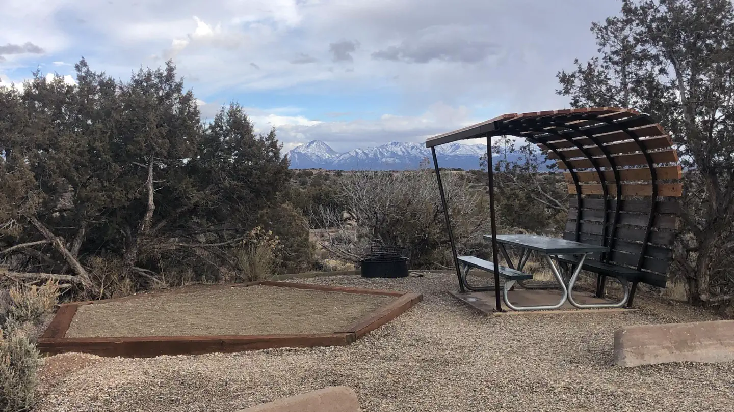
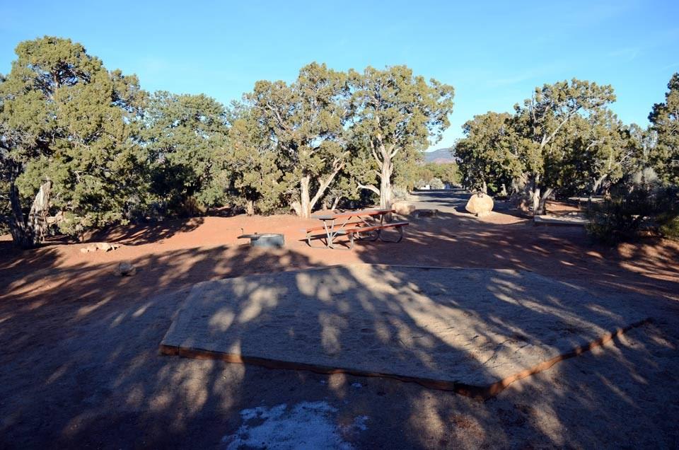
Sand Island Recreation Area is a good camping option for visitors launching San Juan River float trips, or wishing to camp close to the town of Bluff or the Cedar Mesa area of Bears Ears National Monument. The campground provides 21 campsites that each feature a tent/trailer space, a picnic table, a fire ring, and vault toilets. Drinking water is available seasonally (typically March through October). Each campsite can hold 8 people and 2 vehicles. Reservations are not available for camping at this location. Individual campsites are available on a first come, first served basis upon arrival at the self-register kiosk at the site.
The group sites take reservations. Single sites are first-come, first-served.
More like this: first-come in Utah · reservable in Utah · pets allowed in Utah · dark sky in Utah
Check availability on Recreation.gov ↗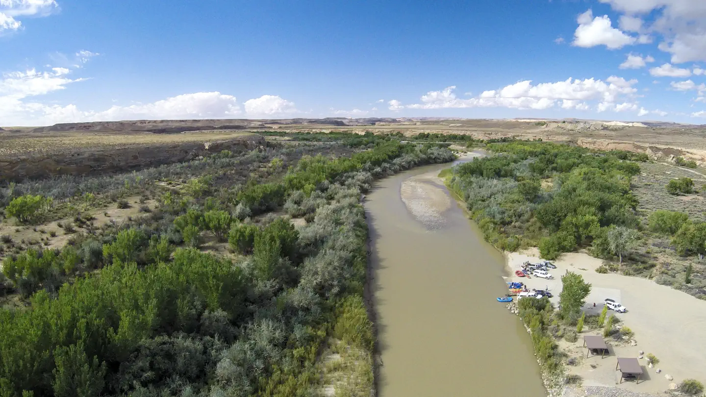
Site mix
| Standard, no hookups | 23 |
Site guide
23 sites. Tap a filter to narrow the list; the map follows.
| Site | Water / sewer | People / vehicles | Fires |
|---|---|---|---|
| 1 | No / – | 8 / – | Yes |
| 2 | No / – | 8 / – | Yes |
| 2 | No / – | 8 / – | Yes |
| 3 | No / – | 8 / – | Yes |
| 4 | No / – | 8 / – | Yes |
| 5 | No / – | 8 / – | Yes |
| 6 | No / – | 8 / – | Yes |
| 7 | No / – | 8 / – | Yes |
| 8 | No / – | 8 / – | Yes |
| 9 | No / – | 8 / – | Yes |
Per-site records as published by the managing agency on Recreation.gov. Blank cells mean the agency listed nothing for that site. Check-in 00:00 PM, checkout 11:00 AM.
Amenities & rules
| Pets | Allowed |
| Campfires | Allowed, subject to restrictions |
| Fees | The campground at Sand Island Recreation Area is first come, first served and payment must be made upon arrival at the self-register kiosk at the campground using cash, check, or the Scan & Pay feature on the Recreation.gov mobile app. |
| Dark sky | 3.9 miles from Bluff, Utah, a certified International Dark Sky Community |
Individual sites vary. Confirm on Recreation.gov or with the managing office.
Weather by month
Getting there
The recreation area is located off U.S. Route 191 approximately three miles west of Bluff, UT and approximately one mile east of the junction of U.S. Routes 163 and 191. It is accessible by all passenger vehicles.
| Nearest town | Monticello, Utah |
| Coordinates | 37.2626° N, 109.6103° W · Directions ↗ |
Charges and cancellations
No refunds are available.
Explore
Video
Sand Island Campground, Bluff, Utah Campsite Photos
Public land it sits in
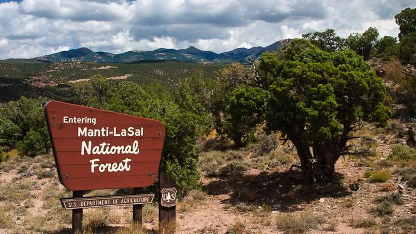
Manti-La Sal National Forest begins about 9.2 miles away, and it is the closest of these.
- 9.2 miManti-La Sal National Forest ↗National Forest · Forest Service · 1,414,386 acres
- 14.5 miBears Ears National Monument ↗National Monument · Bureau of Land Management · 120,760 acres
Each unit is published as a centre point and an acreage rather than a boundary, so this section stands it in for a circle of the same area. Whether a campground is inside, and how far it is from one it is outside, are both approximate.
Other campgrounds nearby

On the National Register nearby
- James Bean Decker HouseBuilding · Bluff · 3.3 mi
- Lemuel H. Redd Jr., HouseBuilding · Bluff · 3.4 mi
- Joseph Frederick Adams HouseBuilding · Bluff · 3.6 mi
Natural features
Sand Island is located along the San Juan River. Cottonwood trees line the banks of the river and are scattered throughout the campground, providing shade at many of the sites. The north side of the campground is lined with red sandstone walls.
Recreation
Sand Island is the primary launch point for multi-day San Juan River float trips. San Juan River trips provide boaters with access to spectacular canyons rich in scenery, geology, archeology, history and wildlife. A river permit is required in advance. The Sand Island Petroglyph Panel site is located on the sandstone walls on the north side of the recreation area. There are many nearby hiking and scenic driving opportuites in the Cedar Mesa area of Bears Ears National Monument.
Nearby
- Bears Ears National Monument
- San Juan River
- Cedar Mesa
- Valley of the Gods
- Goosenecks State Park
Guidebooks for Bears Ears National Monument and Utah
We earn a small commission if you buy through these links. It does not change what we list.

Titles come from Open Library's catalog, matched by subject heading or by title.
Reference
Questions people ask
Do I need a reservation at Sand Island Recreation Area?
For some sites. The group sites take reservations. Single sites are first-come, first-served.
Source: Recreation.gov
How much does it cost to camp at Sand Island Recreation Area?
The campground at Sand Island Recreation Area is first come, first served and payment must be made upon arrival at the self-register kiosk at the campground using cash, check, or the Scan & Pay feature on the Recreation.gov mobile app.
Source: Recreation.gov
What time is check-in at Sand Island Recreation Area?
Check-in 00:00 PM, checkout 11:00 AM.
Source: Recreation.gov
How many sites does Sand Island Recreation Area have?
23 sites, including 23 standard sites without power.
Source: Recreation.gov
Are pets allowed at Sand Island Recreation Area?
Yes, pets are allowed at Sand Island Recreation Area. Leash rules apply.
Source: Recreation.gov
Can I have a campfire at Sand Island Recreation Area?
Fires are allowed in the provided rings under normal conditions.
Source: Recreation.gov
Is Sand Island Recreation Area good for stargazing?
Bluff, Utah, a certified International Dark Sky Community, is 3.9 miles away. Skies that dark carry for miles; a moonless night here should show the Milky Way.
Source: DarkSky International
Is there cell service at Sand Island Recreation Area?
FCC coverage maps show Verizon 4G LTE and AT&T 4G LTE at the campground point. Terrain changes that from one site to the next.
Source: FCC Broadband Map
What is there to do at Sand Island Recreation Area?
Sand Island is the primary launch point for multi-day San Juan River float trips. The Recreation section on this page has the rest.
Source: Recreation
What is the nearest town to Sand Island Recreation Area?
Monticello, Utah. Bears Ears National Monument
Source: Getting there
What if Sand Island Recreation Area is full?
The nearest public campgrounds are Sand Island Group Sites (0.1 mi), Hovenweep Campground (30.8 mi), and Natural Bridges Campground (31.5 mi).
Source: Campgrounds nearby