Devils Canyon
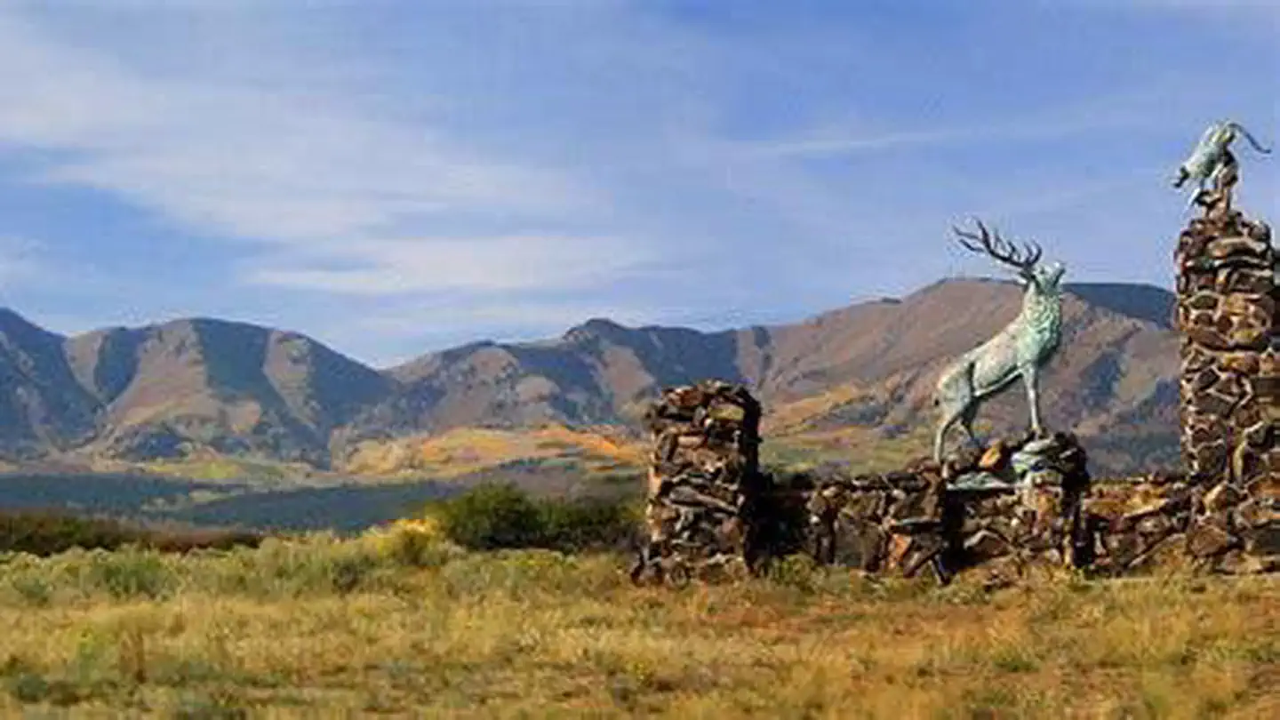
Devils Canyon Campground sits in the Manti-LaSal National Forest of southeast Utah at the foot of the Abajo Mountains. There is water available seasonally from June to September.
More like this: reservable in Utah · big rigs in Utah · pets allowed in Utah
Check availability on Recreation.gov ↗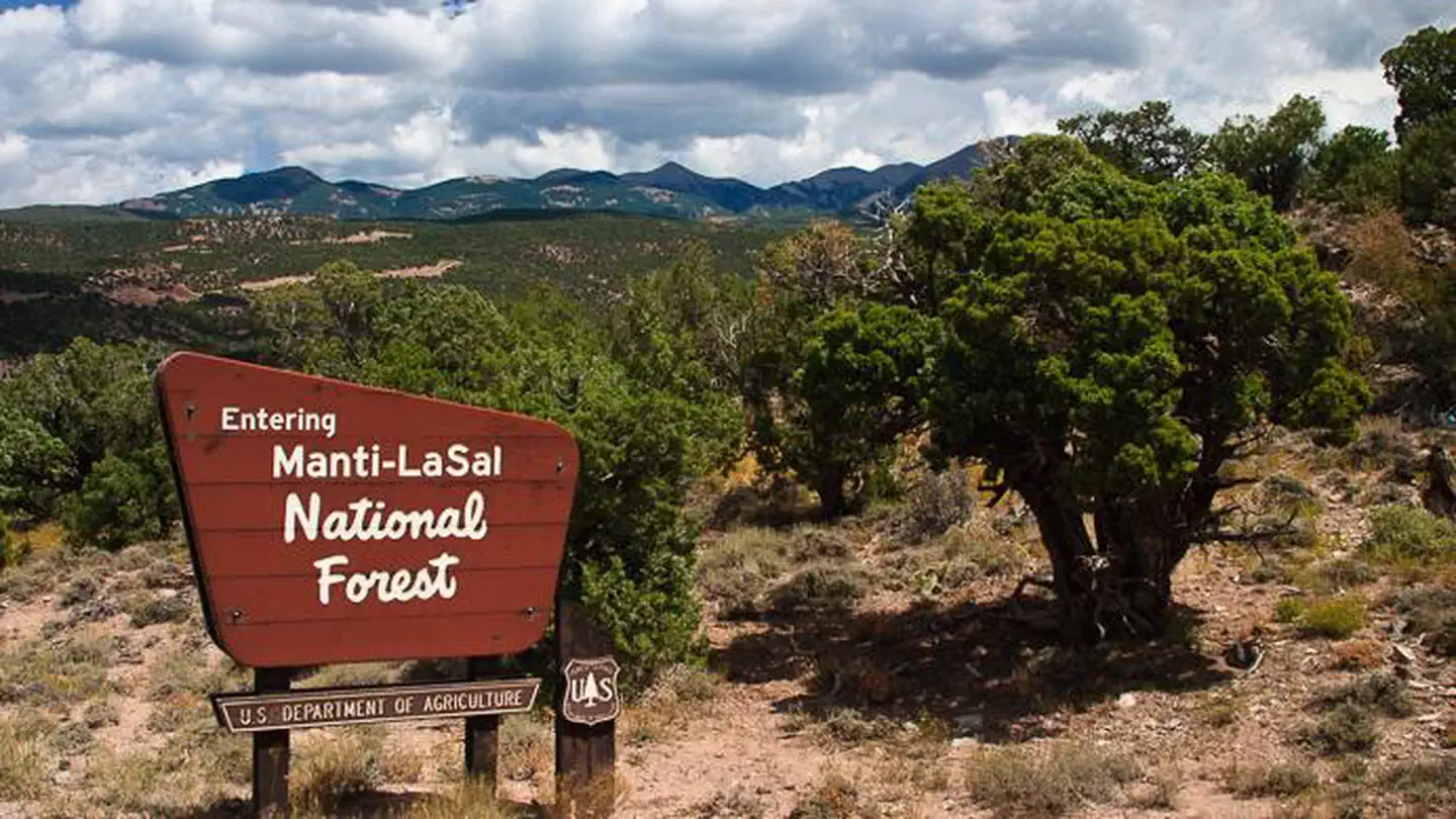

Site mix
| Standard, no hookups | 41 |
Site guide
41 sites in 2 loops. Tap a filter to narrow the list; the map follows.
| Site | Loop | Entry | Fits, ft | Surface | Shade | People / vehicles | Fires | Accessible |
|---|---|---|---|---|---|---|---|---|
| 17 | NORTH | Back-in | 50 | Gravel | Full | 8 / 2 | Yes | |
| 18 | NORTH | Pull-through | 90 | Paved | Full | 8 / 2 | Yes | |
| 19 | NORTH | Back-in | 70 | Paved | Full | 8 / 2 | Yes | |
| 20 | NORTH | Back-in | 45 | Paved | Full | 8 / 2 | Yes | |
| 21 | NORTH | Back-in | 30 | Paved | Full | 8 / 2 | Yes | |
| 22 | NORTH | Back-in | 55 | Paved | Full | 8 / 2 | Yes | |
| 23 | NORTH | Back-in | 30 | Paved | Partial | 8 / 2 | Yes | |
| 24 | NORTH | Pull-through | 55 | Paved | Full | 8 / 2 | Yes | |
| 25 | NORTH | Back-in | 35 | Paved | Full | 8 / 2 | Yes | |
| 26 | NORTH | Pull-through | 75 | Paved | Full | 8 / 2 | Yes |
Per-site records as published by the managing agency on Recreation.gov. Blank cells mean the agency listed nothing for that site. Check-in 1:00 PM, checkout 11:00 AM.
Amenities & rules
| Hookups | None |
| Max vehicle length | 90 ft |
| Equipment | RVs & trailers, Tents |
| Pets | Allowed |
| Campfires | Allowed, subject to restrictions |
| Accessibility | Site 2 is listed accessible |
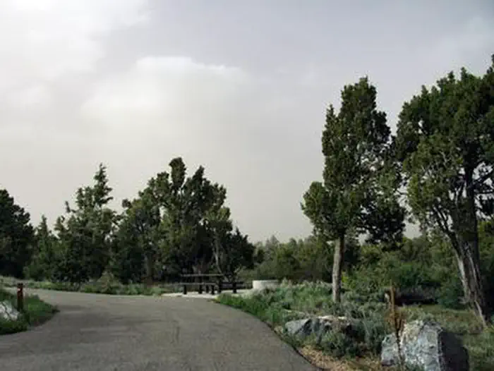
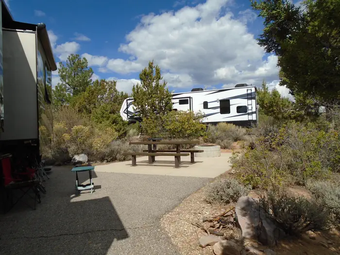
The campground contains numerous single-family sites with picnic tables and fire rings. Vault toilets and drinking water (seasonal) are provided. Showers are available eight miles south in Blanding. Firewood is limited. Parking spurs are paved. Sites # 1-5 and 8-16 are accessible and have paved areas around the fire pit and picnic table. Sites # 6 & 7 have short trails from parking spur to paved camping area and are not considered accessible. There is a 14 day stay limit at this campground.
Individual sites vary. Confirm on Recreation.gov or with the managing office.
Season & status
| Season | Beginning April to September 30 |
| Forest | Manti-La Sal National Forest |
| Booking | This site can be reserved by calling Toll Free 1-877-444-6777 (International 518-885-3639 or TDD 877-833-6777) or on-line at: Devils Canyon, Manti-La Sal National Forest - Recreation.gov |
| Fees | $20/Night for each campsite |
Weather by month
Getting there
The campground is 13 miles south of Monticello, Utah and 9 miles north of Blanding, Utah on US Highway 191. The campground is approximately 1/4-mile off the highway.
| Coordinates | 37.7367° N, 109.4114° W · Directions ↗ |
Good to know
- The byway is suitable for passenger vehicles from late spring through fall but is not recommended for large RVs.
Explore
Video
Devil's Canyon Campground - Manti-Lasal National Forest, UT
Worth a stop
Popular attractions in the area include Canyonlands, Arches and Mesa Verde National Parks, Dark Canyon Wilderness, Edge of the Cedars State Park, Lake Powell and numerous archaeological sites. Evening programs are provided at Edge of the Cedars Museum in Blanding. The San Juan County Fair is held annually in August in Monticello.
- 11.3 miMonticello Lake Fishing Site ↗Fishing site
Trails nearby
- 0.3 miDevils Canyon Interpretive Tr0.2 mi trail · hiking
- 3.2 miAllen Canyon East Slope ↗4.9 mi trail · hiking, horse, bike, 4WD and 2 more
- 3.6 miWagonwheel3.1 mi trail · hiking, horse, bike, motorcycle and 2 more
- 3.8 miCamp Jackson3.9 mi trail · hiking, horse, bike, ATV and 1 more
- 4.1 miWest Wagon Road Loop Trail1.3 mi trail · hiking, horse, bike, 4WD
- 4.5 miWagon Wheel to Fr 500870.9 mi trail · hiking, horse, bike, ATV and 1 more
Trail and trailhead records are the Forest Service's. Distances are straight-line to the nearer trail end. Trail conditions are not tracked here.
Public land it sits in
This campground sits inside Manti-La Sal National Forest.
- inManti-La Sal National Forest ↗National Forest · Forest Service · 1,414,386 acres
- 11.5 miBears Ears National Monument ↗National Monument · Bureau of Land Management · 120,760 acres
Each unit is published as a centre point and an acreage rather than a boundary, so this section stands it in for a circle of the same area. Whether a campground is inside, and how far it is from one it is outside, are both approximate.
Other campgrounds nearby


On the National Register nearby
- Swallow's NestBuilding · Blanding · 8.4 mi
- Hyland HotelBuilding · Monticello · 9.9 mi
- Frederick Issac and Mary M. Jones HouseBuilding · Monticello · 10 mi
Natural features
Ponderosa pines, pinyon pines and juniper cover the area, offering limited shade. The campground sits at an elevation of 7,400 feet, and summer temperatures are warm in the day and cool in the evening. Birds, squirrels, chipmunks, mule deer and black bear may be seen in the area.
Recreation
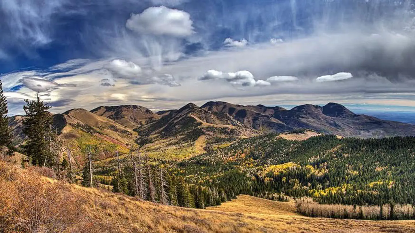
Several miles of off-road vehicle trails crisscross the Abajo Mountains. The Camp Jackson/Wagon Wheel Trail can be accessed nearby. The Abajo Loop State Scenic Backway passes by the campground. It leads from the desert floor and red rock canyons to steep mountains over 10,000 feet high, with overlooks and panoramic views.
Guidebooks for Utah
We earn a small commission if you buy through these links. It does not change what we list.


Titles come from Open Library's catalog, matched by subject heading or by title.
Reference
Questions people ask
Do I need a reservation at Devils Canyon?
Sites at Devils Canyon are reservable on Recreation.gov. This site can be reserved by calling Toll Free 1-877-444-6777 (International 518-885-3639 or TDD 877-833-6777) or on-line at: Devils Canyon, Manti-La Sal National Forest - Recreation.gov Any walk-up sites are listed on the booking page.
Source: Recreation.gov
How much does it cost to camp at Devils Canyon?
$20/Night for each campsite
Source: Recreation.gov
What time is check-in at Devils Canyon?
Check-in 1:00 PM, checkout 11:00 AM.
Source: Recreation.gov
How many sites does Devils Canyon have?
41 sites, including 41 standard sites without power.
Source: Recreation.gov
Will my RV fit at Devils Canyon?
Recreation.gov lists no practical vehicle capacity limit for the largest site here, which usually means pull-through or open parking. The sidebar tool checks a trailer or motorhome length against every site.
Source: Will my RV fit
Are there showers or a dump station at Devils Canyon?
Showers are available eight miles south in Blanding.
Source: Recreation.gov
Are pets allowed at Devils Canyon?
Yes, pets are allowed at Devils Canyon. Leash rules apply.
Source: Recreation.gov
Can I have a campfire at Devils Canyon?
Fires are allowed in the provided rings under normal conditions.
Source: Recreation.gov
Are there accessible sites at Devils Canyon?
Site 2 is listed accessible on Recreation.gov. What that covers (a paved pad, an accessible table, a nearby accessible restroom) is on each site's booking page.
Source: Recreation.gov
Is there cell service at Devils Canyon?
FCC coverage maps show Verizon 4G LTE, AT&T 4G LTE, and T-Mobile 4G LTE at the campground point. Terrain changes that from one site to the next.
Source: FCC Broadband Map
What is there to do at Devils Canyon?
Several miles of off-road vehicle trails crisscross the Abajo Mountains. The Recreation section on this page has the rest.
Source: Recreation
What if Devils Canyon is full?
The nearest public campgrounds are Nizhoni (7.7 mi), Dalton Springs Campground (9.6 mi, first-come), and Buckboard (10.2 mi).
Source: Campgrounds nearby