Burro Bridge
Sites are first-come, first-served. Recreation.gov lists this campground for paying on site, and you may be able to pay with the Scan and Pay feature of its app.
More like this: first-come in Colorado

Amenities & rules
Two miles northeast of Dunton, Burro Bridge is one of three campgrounds along the West Dolores Road (Forest Rd. 535). The campground has 14 sites with a few shade trees on a sloping hillside above the West Dolores River. The campground provides easy access to the Lizard Head Wilderness, but not easy access to the water. Services include vault toilets, picnic tables, and fire grates. No trash service is available. This campground provides limited services from late September through October. Between October and May there are no services (water, trash pick up or restrooms). Please keep the campground clean and pack out any trash!
Individual sites vary. Confirm on Recreation.gov or with the managing office.
Season & status
| Status | Closed for the season. Forest Service sites close for the season; check the official page for the reopening date. |
| Season | Mid-May to October (limited services Sept - Oct) |
| Forest | San Juan National Forest |
| Fees | $24 |
| Rules | Quiet time is typically between 10pm - 6am. Please be a good neighbor and limit use of generators to no more than one hour at a time. Dogs must be leashed or otherwise physically restrained. Do not leave pets unattended. Check-out time: 12:00 pm; Check-in time: 2:00 pm - if the site is empty, campers may come in anytime. |
Weather by month
Getting there
| Coordinates | 37.7870° N, 108.0677° W · Directions ↗ |
Fire nearby
- WildfireGold Mountain
28 mi from the campground · 39,747 acres · 92% contained
- PrescribedHigh Mesa Piles Rx
44 mi from the campground · 324 acres
- PrescribedTransfer Rd Rx
48 mi from the campground · 139 acres
Distance is to the reported incident point, not the fire edge. Call the managing office before you drive.
Supplies & services
| Outdoor gear | Telluride Angler ↗ | 17.4 mi |
| Dump station | Dump station ↗ | 28.2 mi |
Locations © OpenStreetMap contributors. Call ahead; hours change seasonally.
No site-by-site records, no fee schedule, no directions or photos in the Recreation.gov record. What is here comes from the agency's own listing. The rest lives there.
Checked nightly. Modules appear as soon as the record fills in.
Explore
Video
Burro Creek Campground | BLM | Arizona | Site by Site Drive Thru Tour | See all the campsi
Worth a stop
- 7.1 miCross Mountain Trailhead ↗Trailhead
Trails nearby
- under 0.1 miBurro Bridge2.4 mi trail · hiking, horse, bike
- 1.3 miNavajo Lake ↗7.3 mi trail · hiking, horse, bike
- 1.4 miWinter/Fall Cut Off ↗0.5 mi trail · hiking, horse, bike · national_recreation_or_other
- 1.4 miWinter ↗4.6 mi trail · hiking, horse, bike · national_recreation_or_other
- 1.7 miKilpacker3.5 mi trail · hiking, horse, bike
- 1.8 miWest Fall Creek ↗4.3 mi trail · hiking, horse, bike, motorcycle and 1 more · national_recreation_or_other
Trail and trailhead records are the Forest Service's. Distances are straight-line to the nearer trail end. Trail conditions are not tracked here.
Public land it sits in
This campground sits inside San Juan National Forest.
- inSan Juan National Forest ↗National Forest · Forest Service · 2,094,539 acres
- 0.2 miLizard Head Wilderness ↗Wilderness · Forest Service · 41,531 acres
Each unit is published as a centre point and an acreage rather than a boundary, so this section stands it in for a circle of the same area. Whether a campground is inside, and how far it is from one it is outside, are both approximate.
Other campgrounds nearby

Cabin and lookout rentals nearby

Historic landmarks nearby


Guidebooks for Colorado
We earn a small commission if you buy through these links. It does not change what we list.



Titles come from Open Library's catalog, matched by subject heading or by title.
Reference
Questions people ask
Do I need a reservation at Burro Bridge?
No. Burro Bridge is first-come, first-served. Sites are taken on arrival and paid at the fee station.
Source: Forest Service
How much does it cost to camp at Burro Bridge?
$24
Source: Forest Service
Is Burro Bridge open right now?
Closed for the season as of Oct 16, 2026. Season Mid-May to October (limited services Sept - Oct).
Source: Forest Service status
How many sites does Burro Bridge have?
14 sites.
Source: Forest Service
What if Burro Bridge is full?
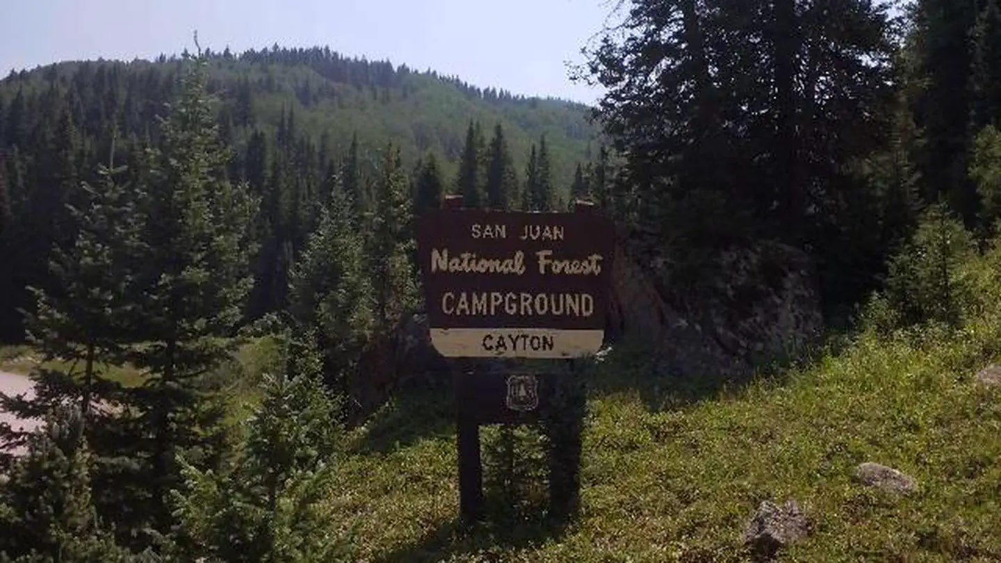
The nearest public campgrounds are Cayton Campground (5.1 mi), Woods Lake (6.9 mi, first-come), and Matterhorn (10.9 mi, partly first-come).
Source: Campgrounds nearby