Jersey Jim Fire Tower
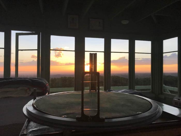
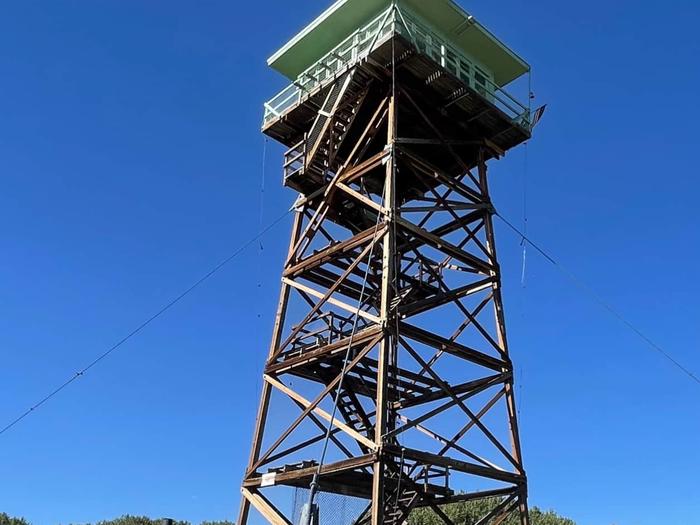
The Jersey Jim Lookout Tower is named after an early cattleman who ran Jersey cattle in the area. Today, cattle are still grazed in the area under permit. Many nearby trails were established by loggers seeking timber or by miners accessing hard-rock ore deposits in the La Plata (Spanish for silver) Mountains. Hesperus Peak, a sacred mountain to the Navajo Nation, is visible, as is Sleeping Ute Mountain of the Four Corners. The Jersey Jim Lookout Tower was home to U.S. Forest Service fire lookouts from the 1940s to 1970s.
Check availability on Recreation.gov ↗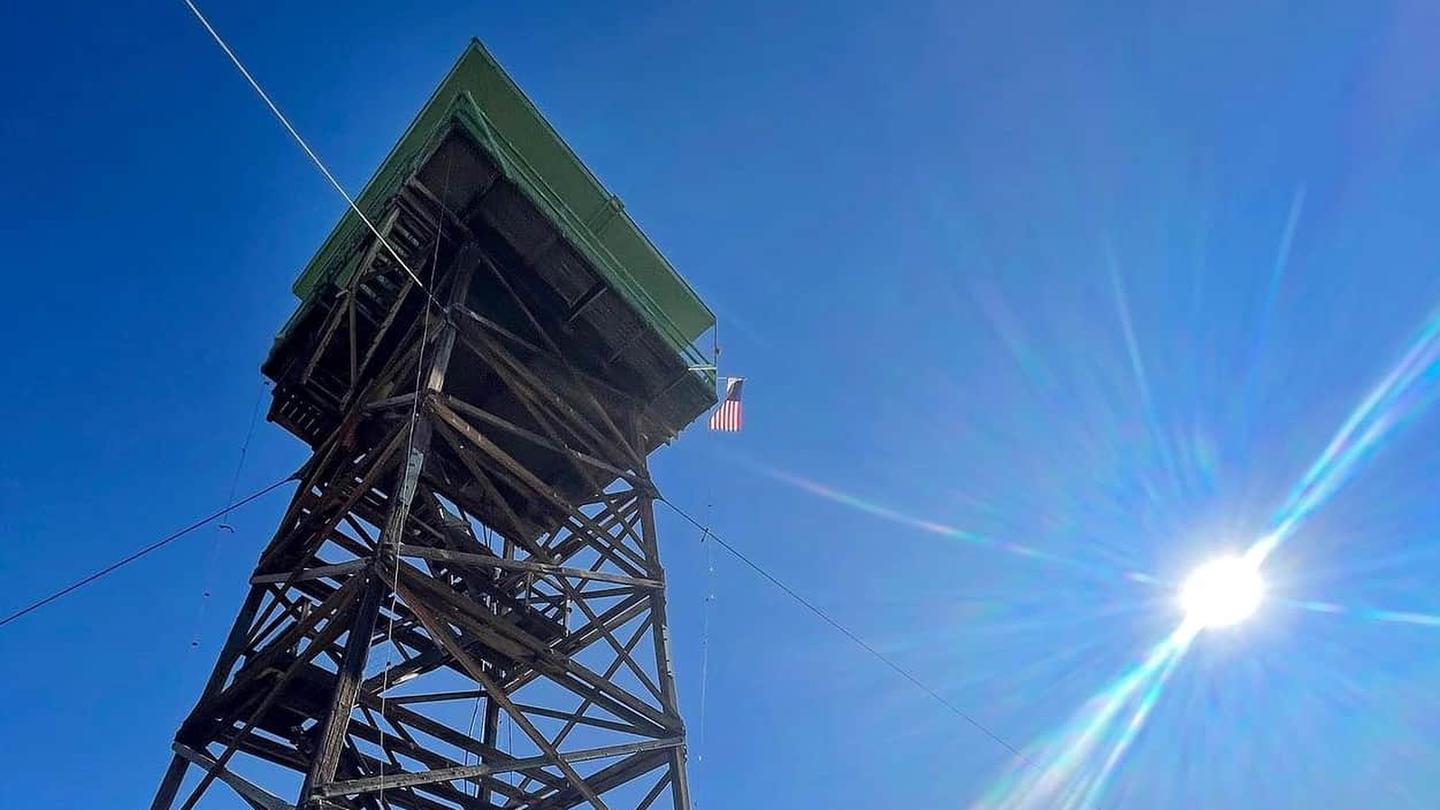
Site mix
| Fire lookouts | 1 |
Amenities & rules
| Hookups | None |
| Equipment | RVs & trailers, Tents |
Individual sites vary. Confirm on Recreation.gov or with the managing office.
Weather by month
Getting there
The Tower is 14 miles from Highway 184 on a two-wheel drive graveled road subject to adverse weather conditions. At Mancos, Colorado, Highway 184 north, about 1/2 mile turn right on Montezuma County Road 42. County Road turns into Forest Service Road 561. Landmark references: Four miles on FS 561 is Transfer Campground.
| Nearest town | Mancos, Colorado |
| Coordinates | 37.4973° N, 108.1839° W · Directions ↗ |
Fire nearby
- WildfireGold Mountain
47 mi from the campground · 39,747 acres · 92% contained
Distance is to the reported incident point, not the fire edge. Call the managing office before you drive.
Supplies & services
| Outdoor gear | Backcountry Experience ↗ | 22.5 mi |
Locations © OpenStreetMap contributors. Call ahead; hours change seasonally.
Explore
Trails nearby
- 1.4 miClampett Mill2.6 mi trail · hiking, horse, bike, motorcycle and 2 more
- 2.1 miAspen Loop ↗34.9 mi trail · hiking, horse, bike, motorcycle and 2 more
- 2.1 miSpring Creek Connector0.4 mi trail · hiking, horse, bike, motorcycle and 2 more
- 2.3 miMorrison ↗11.4 mi trail · hiking, horse, bike, motorcycle and 2 more
- 2.3 miBig Al0.5 mi trail · hiking, horse, bike
- 2.4 miTransfer0.3 mi trail · hiking, horse, bike
Trail and trailhead records are the Forest Service's. Distances are straight-line to the nearer trail end. Trail conditions are not tracked here.
Public land it sits in
This campground sits inside San Juan National Forest.
- inSan Juan National Forest ↗National Forest · Forest Service · 2,094,539 acres
- 7.3 miHermosa Creek Wilderness ↗Wilderness · Forest Service · 37,344 acres
Each unit is published as a centre point and an acreage rather than a boundary, so this section stands it in for a circle of the same area. Whether a campground is inside, and how far it is from one it is outside, are both approximate.
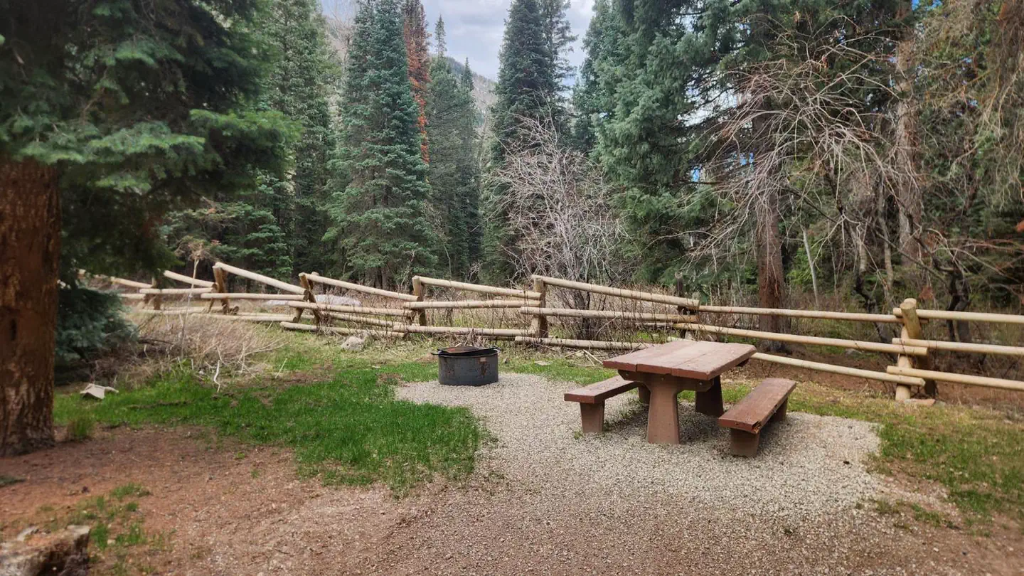
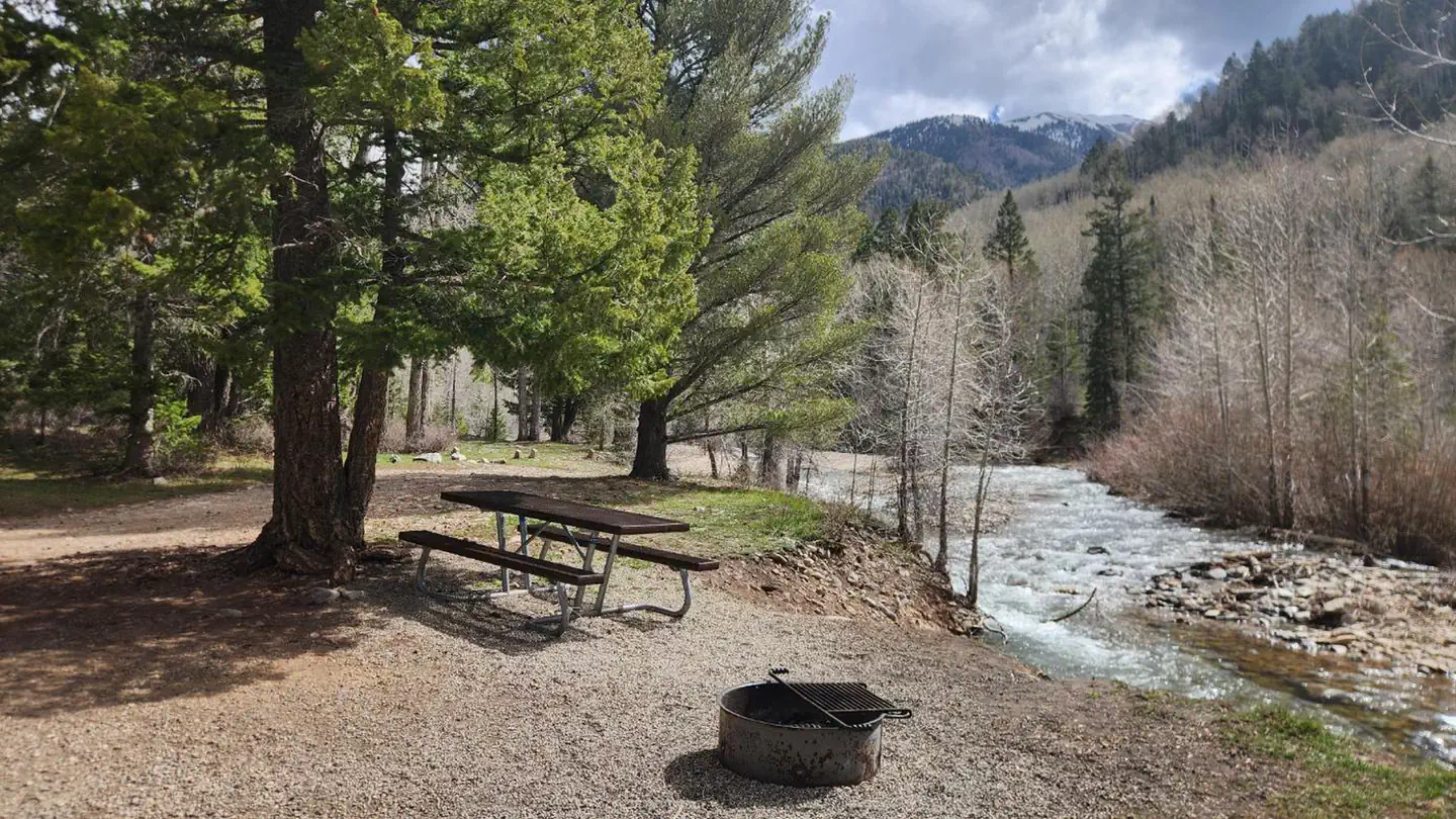
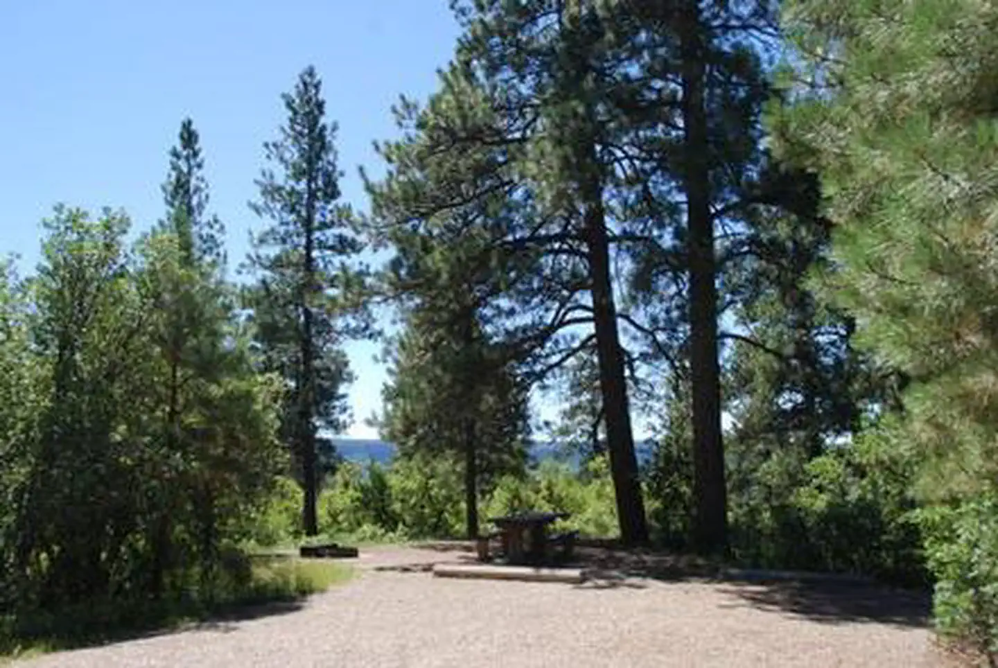
Other campgrounds nearby
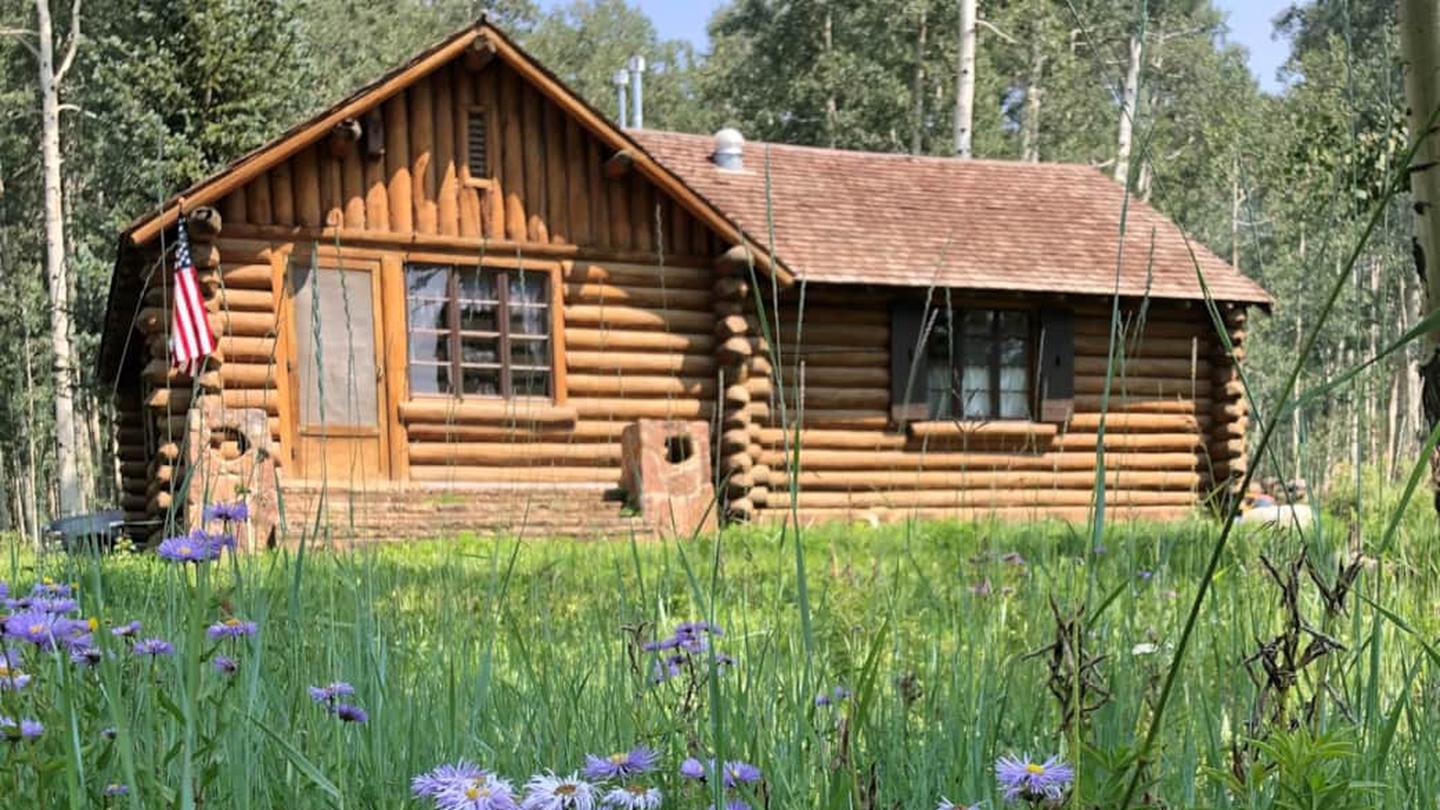
Cabin and lookout rentals nearby
On the National Register nearby
- Bauer Bank BlockBuilding · Mancos · 12 mi
- Wrightsman HouseBuilding · Mancos · 12 mi
- Mancos High SchoolBuilding · Mancos · 12.1 mi
Nearby
Mesa Verde National Park, Durango to Silverton Railroad, Anazasi Heritage Center, Four Corners Monument
Guidebooks for Colorado
We earn a small commission if you buy through these links. It does not change what we list.



Titles come from Open Library's catalog, matched by subject heading or by title.
Reference
Questions people ask
Do I need a reservation at Jersey Jim Fire Tower?
Sites at Jersey Jim Fire Tower are reservable on Recreation.gov. Any walk-up sites are listed on the booking page.
Source: Recreation.gov
What time is check-in at Jersey Jim Fire Tower?
Check-in 12:00 PM, checkout 11:00 AM.
Source: Recreation.gov
How many sites does Jersey Jim Fire Tower have?
1 site, including 1 lookout.
Source: Recreation.gov
Can I bring an RV to Jersey Jim Fire Tower?
Jersey Jim Fire Tower is listed for tents only.
Source: Recreation.gov
What is the nearest town to Jersey Jim Fire Tower?
Mancos, Colorado. Mesa Verde National Park, Durango to Silverton Railroad, Anazasi Heritage Center, Four Corners Monument
Source: Getting there
What if Jersey Jim Fire Tower is full?
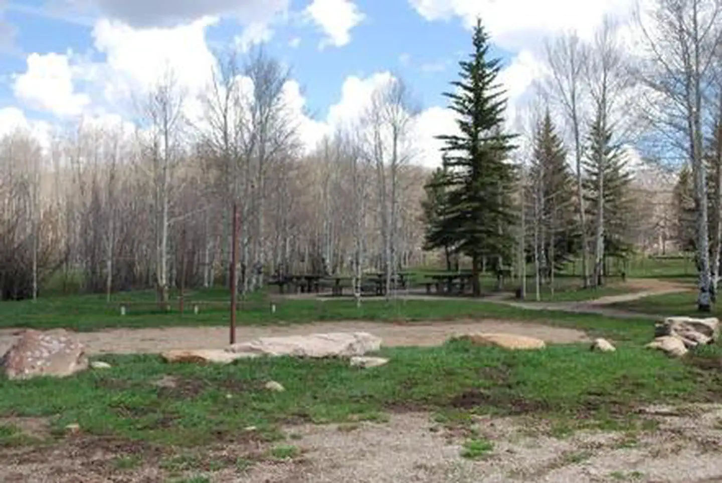
The nearest public campgrounds are Transfer Campground (2.5 mi, partly first-come), Kroeger (10.2 mi, first-come), and Snowslide (10.5 mi, first-come).
Source: Campgrounds nearby