Cavitt Creek Falls Recreation Site
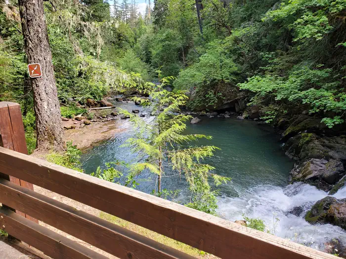
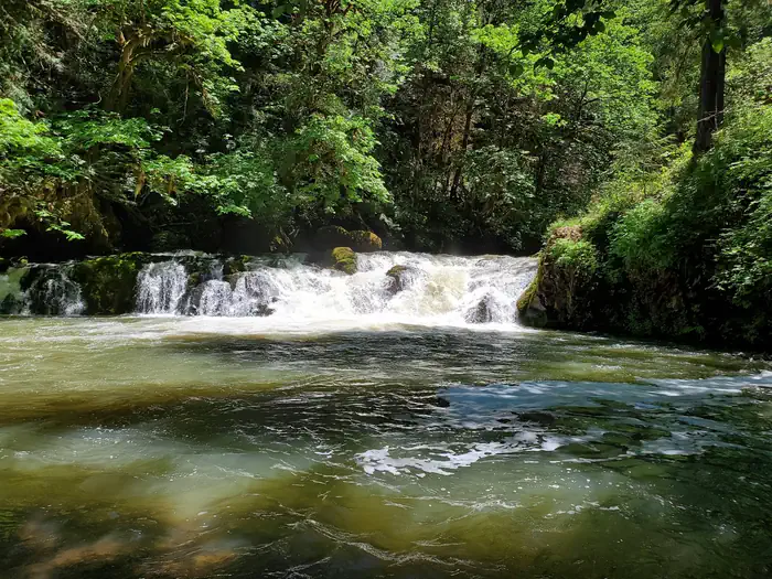
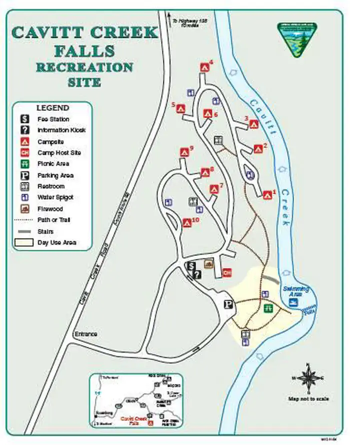
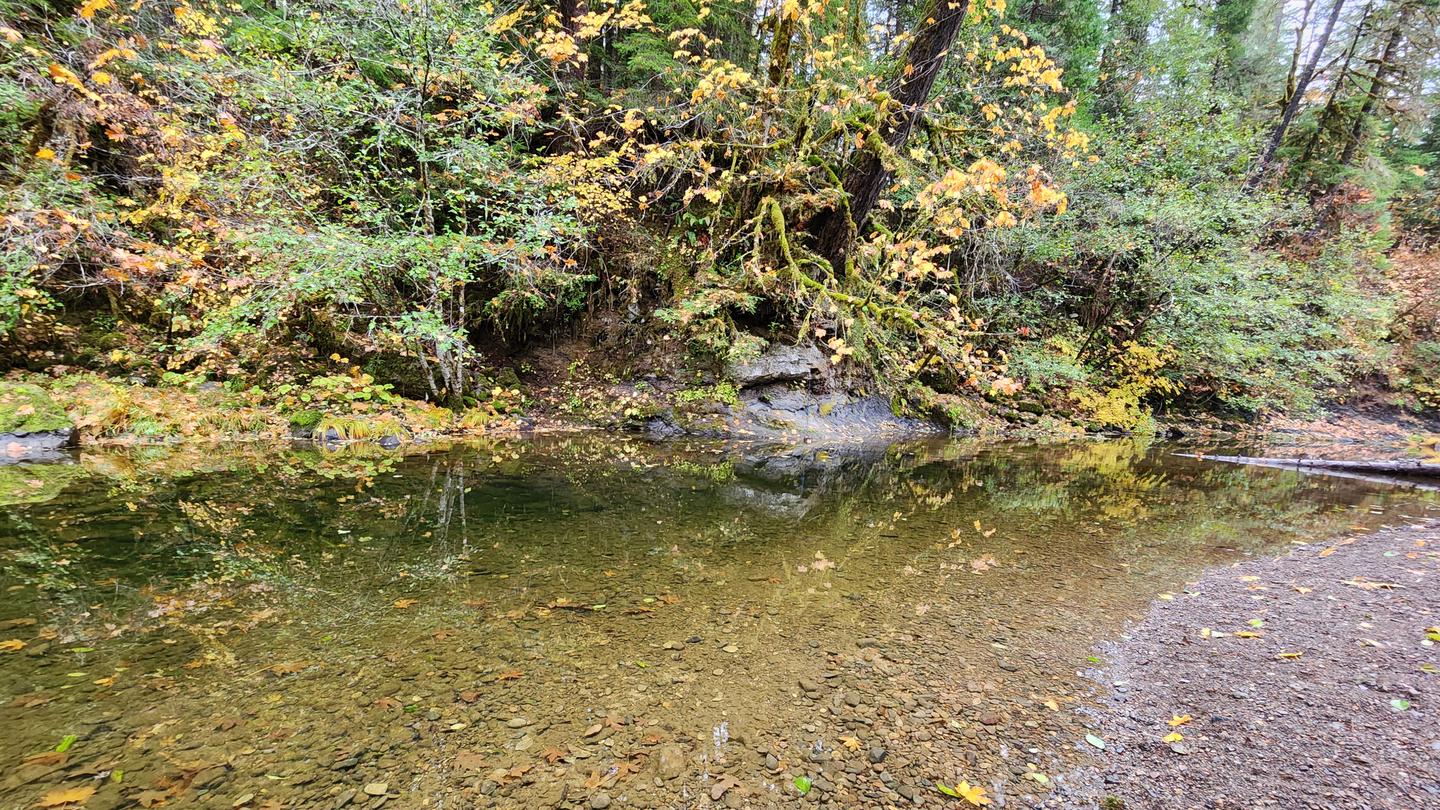
Reservations must be made 1 day prior to arrival. Firewood is currently unavailable for purchase on site. Cavitt Creek Falls Recreation Site is a favorite of locals and off the beaten path of the North Umpqua corridor. Surrounded by a forest of fir, maple and cedar trees, the swimming hole at the base of a six foot waterfall on Cavitt Creeek is a welcome discovery on a hot day.
More like this: reservable in Oregon · pets allowed in Oregon
Check availability on Recreation.gov ↗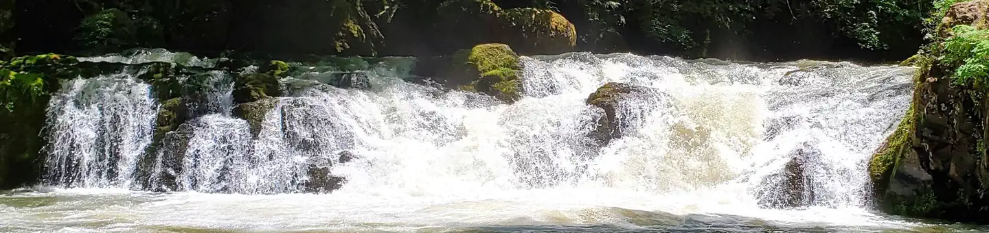
Site mix
| Standard, no hookups | 10 |
Site guide
10 sites in 2 loops. Tap a filter to narrow the list; the map follows.
| Site | Loop | Entry | Fits, ft | Shade | Waterfront | People / vehicles |
|---|---|---|---|---|---|---|
| Site 001 | Lower | 50 | Partial | Riverfront | 8 / – | |
| Site 002 | Lower | 42 | Partial | Riverfront | 8 / – | |
| Site 003 | Lower | 56 | Partial | Riverfront | 8 / – | |
| Site 004 | Lower | 60 | None | 8 / – | ||
| Site 005 | Upper | 60 | None | 8 / – | ||
| Site 006 | Upper | 60 | Partial | 8 / – | ||
| Site 007 | Upper | 54 | Partial | 8 / – | ||
| Site 008 | Upper | 54 | None | 8 / – | ||
| Site 009 | Upper | 60 | None | 8 / – | ||
| Site 010 | Upper | Pull-through | 75 | Partial | 8 / – |
Per-site records as published by the managing agency on Recreation.gov. Blank cells mean the agency listed nothing for that site. Check-in 01:00 PM, checkout 11:00 AM.
Amenities & rules
| Max vehicle length | 34 ft |
| Pets | Allowed |
| Fees | $14 per night |
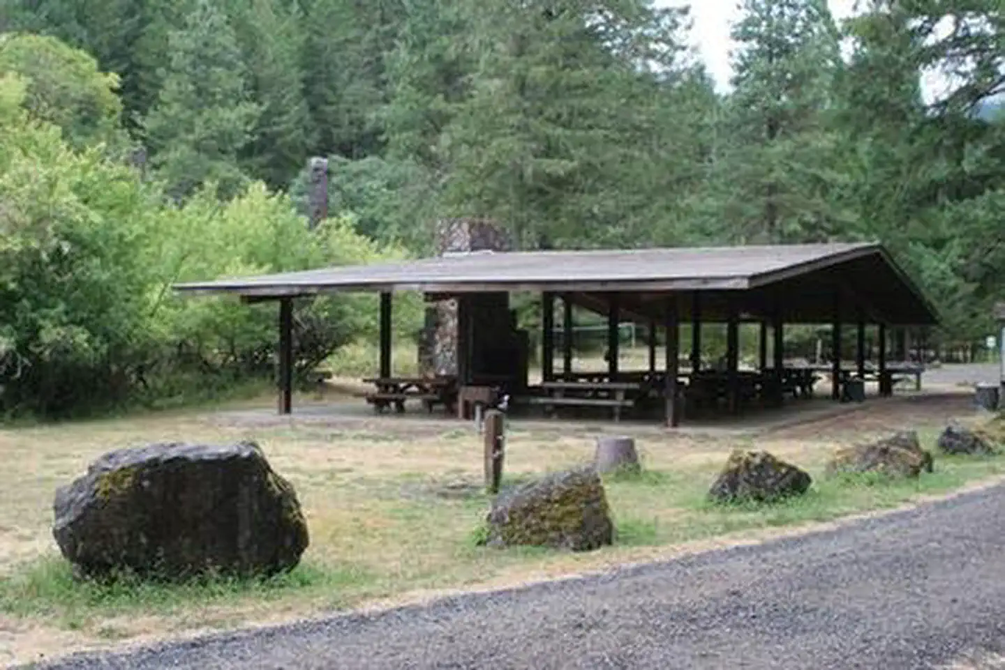
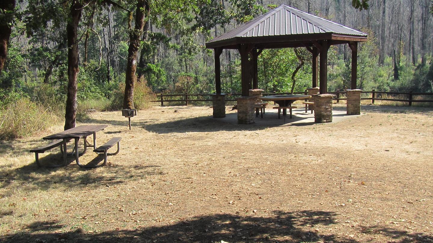
Cavitt Creek Campground is built on three terraced levels with varying access to all sites. Ten campsites, day use area with tables and grill, drinking water, vault restrooms, stairway to swimming area. Maximum 34-foot vehicle length
Individual sites vary. Confirm on Recreation.gov or with the managing office.
Weather by month
Getting there
From Roseburg, head east on Hwy 138 for 16.5 miles. Turn right on Little River Road, head south for 6.7 miles. Turn right onto New Bridge Road, which turns into Cavitt Creek Road and continue. 3.2 miles west to recreation site. Elevation 1050’.
| Nearest town | Roseburg, Oregon |
| Coordinates | 43.2000° N, 123.0217° W · Directions ↗ |
Fire nearby
- PrescribedRx Long Prairie
29 mi from the campground · 112 acres
- PrescribedRx Cold Springs
37 mi from the campground · 158 acres
Distance is to the reported incident point, not the fire edge. Call the managing office before you drive.
Supplies & services
| Outdoor gear | Sportsman's Warehouse ↗ | 17.9 mi |
| Dump station | Dump station ↗ | 19.4 mi |
| RV sales & service | Oregon West RV ↗ | 50.1 mi |
Locations © OpenStreetMap contributors. Call ahead; hours change seasonally.
Explore
Video
Cavitt Creek County Park
Trails nearby
- 3.5 miNfst-25003550.2 mi trail · hiking, horse, bike, motorcycle and 2 more
- 3.6 miNfst-25003560.1 mi trail · hiking, horse, bike, motorcycle and 2 more
- 4.4 miNfst-25000200.5 mi trail · hiking, horse, bike, motorcycle and 2 more
- 4.6 miNfst-27013350.3 mi trail · hiking, horse, bike, motorcycle and 3 more
- 4.8 miNfst-25003100.3 mi trail · hiking, horse, bike, motorcycle and 2 more
- 4.9 miNfst-27000170.4 mi trail · hiking, horse, bike, motorcycle and 2 more
Trail and trailhead records are the Forest Service's. Distances are straight-line to the nearer trail end. Trail conditions are not tracked here.
Public land it sits in
This campground sits inside Umpqua National Forest.
- inUmpqua National Forest ↗National Forest · Forest Service · 1,035,837 acres
Each unit is published as a centre point and an acreage rather than a boundary, so this section stands it in for a circle of the same area. Whether a campground is inside, and how far it is from one it is outside, are both approximate.
Other campgrounds nearby

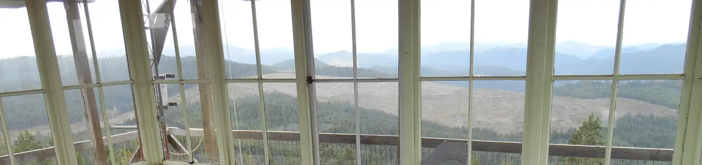
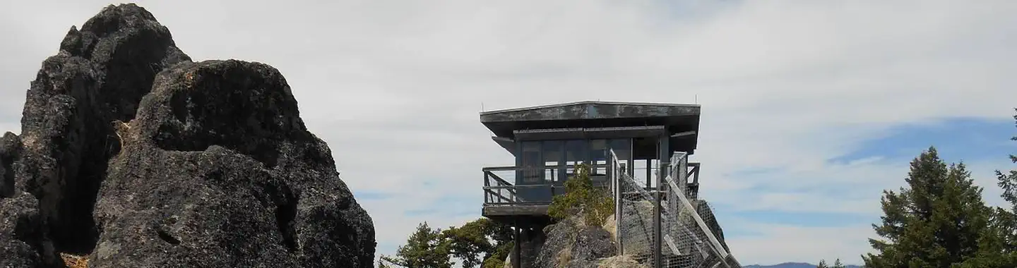
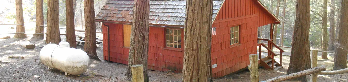
Cabin and lookout rentals nearby
On the National Register nearby
- Glide Ranger StationBuilding · Glide · 7.8 mi
Natural features
The gorgeous waterfall offers a sought after swimming hole during hot days and leaping salmon in the fall months. Located on the edge of the Umpqua National Forest, at an elevation of 1050', most sites and swimming area sit under a canopy of fir, maple, and cedar trees for a shaded area on the creek.
Recreation
Picnicing, relaxing, and swimming are the primary recreation activities taking place at Cavitt Creek Recreation Site. Cavitt Creek and Little River are open to trout fishing with artificial flies and lures only, from late May through mid September. Contact Oregon Department of Fish and Wildlife for their Oregon Sportfishing regulations and exact season dates.
Nearby
Just a few miles up Little River Road you will find the Wolf Creek Falls Trailhead. The 1.2 mile long Wolf Creek Falls trail follows a picturesque stream through an old growth forest to a cascading two-tier waterfall. River flows vary throughout the year as the falls plummet over 50 and 75 foot high rock cliffs before plunging into deep pools. Within a short drive from the campground you can have opportunities for day of rafting on the North Umpqua, fishing, hiking, viewing waterfalls, or driving along the Rogue - Umpqua National Scenic Byway.
Guidebooks for Oregon
We earn a small commission if you buy through these links. It does not change what we list.

Titles come from Open Library's catalog, matched by subject heading or by title.
Reference
Questions people ask
Do I need a reservation at Cavitt Creek Falls Recreation Site?
Sites at Cavitt Creek Falls Recreation Site are reservable on Recreation.gov. Any walk-up sites are listed on the booking page.
Source: Recreation.gov
How much does it cost to camp at Cavitt Creek Falls Recreation Site?
$14 per night
Source: Recreation.gov
What time is check-in at Cavitt Creek Falls Recreation Site?
Check-in 01:00 PM, checkout 11:00 AM.
Source: Recreation.gov
How many sites does Cavitt Creek Falls Recreation Site have?
10 sites, including 10 standard sites without power.
Source: Recreation.gov
Will my RV fit at Cavitt Creek Falls Recreation Site?
The longest site here provides 34 feet of vehicle capacity. Most sites are shorter. The sidebar tool checks a trailer or motorhome length against every site.
Source: Will my RV fit
Are pets allowed at Cavitt Creek Falls Recreation Site?
Yes, pets are allowed at Cavitt Creek Falls Recreation Site. Leash rules apply.
Source: Recreation.gov
What is there to do at Cavitt Creek Falls Recreation Site?
Picnicing, relaxing, and swimming are the primary recreation activities taking place at Cavitt Creek Recreation Site. The Recreation section on this page has the rest.
Source: Recreation
What is the nearest town to Cavitt Creek Falls Recreation Site?
Roseburg, Oregon. Just a few miles up Little River Road you will find the Wolf Creek Falls Trailhead.
Source: Getting there
What if Cavitt Creek Falls Recreation Site is full?
The nearest public campgrounds are Wolf Creek Group Site (5.1 mi), Coolwater Campground (7.9 mi, first-come), and White Creek Campground (8.3 mi, first-come).
Source: Campgrounds nearby