Sims Flat Campground
Description: This campground is located alongside the Sacramento River at an elevation of 1600 feet. There are 19 sites with tables and fire-rings. Suitable for tents and mid-sized RVs or trailers. Flush toilets; piped water. 14 day limit. $15 per night. No reservations. Usually opens by last Saturday in April and closes Nov. 15th. Features: Historic location of Civilian Conservation Corps camp in the 1930s. Interpretive signs depict the camp and suspension bridge spanning the river built by the CCC. World renown fishing on a classic trout stream. Train buffs enjoy watching Union Pacific freight trains as they make their way through the canyon.
Sites are first-come, first-served. Recreation.gov lists this campground for paying on site, and you may be able to pay with the Scan and Pay feature of its app.
More like this: first-come in California · tent only in California

Amenities & rules
| Equipment | Tents |
Individual sites vary. Confirm on Recreation.gov or with the managing office.
Season & status
| Status | Closed for the season. Forest Service sites close for the season; check the official page for the reopening date. |
| Forest | Shasta-Trinity National Forest |
Weather by month
Getting there
| Coordinates | 41.0618° N, 122.3594° W · Directions ↗ |
Fire nearby
- PrescribedElmore Understory Rx
15 mi from the campground
- PrescribedHoliday Hand Piles Rx
23 mi from the campground
- PrescribedHayward Machine Piles Rx
26 mi from the campground
- PrescribedRidgeville Hand Piles Rx
27 mi from the campground
Distance is to the reported incident point, not the fire edge. Call the managing office before you drive.
Supplies & services
| Outdoor gear | Ted Fay Fly Shop ↗ | 11.3 mi |
| Dump station | Dump station ↗ | 14.7 mi |
| RV sales & service | Cousin Gary RV Center ↗ | 28 mi |
Locations © OpenStreetMap contributors. Call ahead; hours change seasonally.
Explore
Video
Sims Flat Campground Overview
Worth a stop
- 12.3 mi
- 14.3 mi
- 14.5 miDekkas Rock Day Use Area ↗Day use
Trails nearby
- 0.2 miSims Bridge ↗0.5 mi trail · hiking, horse, bike
Trail and trailhead records are the Forest Service's. Distances are straight-line to the nearer trail end. Trail conditions are not tracked here.
Public land it sits in
This campground sits inside Shasta-Trinity National Forest.
- inShasta-Trinity National Forest ↗National Forest · Forest Service · 2,715,499 acres
- 7 miCastle Crags Wilderness ↗Wilderness · Forest Service · 10,999 acres
Each unit is published as a centre point and an acreage rather than a boundary, so this section stands it in for a circle of the same area. Whether a campground is inside, and how far it is from one it is outside, are both approximate.
Other campgrounds nearby
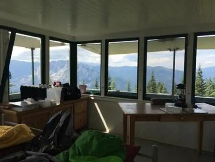
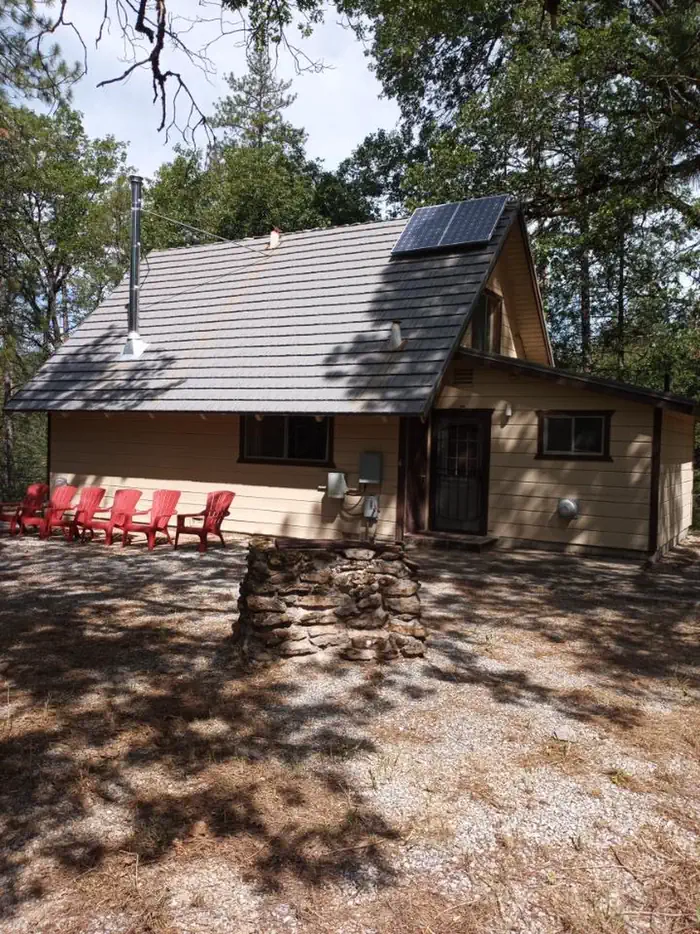
Cabin and lookout rentals nearby

On the National Register nearby
- Dunsmuir Historic Commercial DistrictHistoric district · Dunsmuir · 11.2 mi
Reference
Questions people ask
Do I need a reservation at Sims Flat Campground?
No. Sims Flat Campground is first-come, first-served. Sites are taken on arrival and paid at the fee station.
Source: Forest Service
Is Sims Flat Campground open right now?
Closed for the season as of Nov 17, 2026.
Source: Forest Service status
How many sites does Sims Flat Campground have?
19 sites.
Source: Forest Service
Can I bring an RV to Sims Flat Campground?
Sims Flat Campground is listed for tents only.
Source: Forest Service
What if Sims Flat Campground is full?
The nearest public campgrounds are Mccloud Bridge (10.4 mi, first-come), Pine Point (11 mi), and Ellery Creek (11.8 mi).
Source: Campgrounds nearby