Float Camp Recreation Area
The Float Camp Recreation Area provides opportunities for camping and day use. Float Camp Picnic Area is located only 150 feet from the cool waters of the crystal clear Current River and nestled under a mature forest of hardwoods which offers plentiful shade. Visitors enjoy fishing and hiking. A campground is only a half-mile away for those who want to stay longer than a day. Visitors enjoy hiking and other nearby recreational opportunities at Deer Leap Recreation Area. The day-use picnic area offers an accessible group shelter that can accommodate up to 75 people. The picnic pavilion is equipped with electricity, tables and grills.
More like this: reservable in Missouri · tent only in Missouri · accessible sites in Missouri

Amenities & rules
| Equipment | Tents |
| Fees | Concessionaire Fee Day Use Fee - Picnic Area $3/vehicle. $10/busses. Pavilion - $35/day. Camping non-electric singe - $15/night. single electric - $25/night. double electric - $35/night. Day Use - $5. |
| Accessibility | Tables, fire rings, pedestal grills, lantern posts, water faucets and toilets are all accessible. There are sidewalks at the day use area |
Individual sites vary. Confirm on Recreation.gov or with the managing office.
Season & status
| Season | April 1 to October 1 |
| Forest | Mark Twain National Forest |
| Booking | Reservation needed for Group Picnic Pavilion - From April 1 to October 1. Reservations can be made up at least 6 months in advance of visit and up to 12 months. |
| Fees | Concessionaire Fee Day Use Fee - Picnic Area $3/vehicle. $10/busses. Pavilion - $35/day. Camping non-electric singe - $15/night. single electric - $25/night. double electric - $35/night. Day Use - $5. |
| Rules | No OHVs/ATvs/UTVs are allowed to operate within this Recreation Area. Campground: Fees will be paid at the fee tube provided. Fireworks are prohibited. Campsite parking allows for two vehicles per site. Park only in designated parking areas. Centrally located water is available. No glass on water or within 50 feet of shoreline. |
Weather by month
Getting there
| Coordinates | 36.6656° N, 90.8725° W · Directions ↗ |
Supplies & services
| Dump station | Dump station ↗ | 35.3 mi |
| Outdoor gear | Alley Spring Store ↗ | 45.6 mi |
Locations © OpenStreetMap contributors. Call ahead; hours change seasonally.
Explore
Trails nearby
- 0.1 miWoodchuck0.2 mi trail · hiking, bike
- 0.3 miWhite Oak1.4 mi trail · hiking, bike
- 1.4 miWells Branch Fen0.1 mi trail · hiking
Trail and trailhead records are the Forest Service's. Distances are straight-line to the nearer trail end. Trail conditions are not tracked here.
Public land it sits in
This campground sits inside Mark Twain National Forest.
- inMark Twain National Forest ↗National Forest · Forest Service · 3,069,958 acres
- 14.5 miIrish Wilderness ↗Wilderness · Forest Service · 16,427 acres
Each unit is published as a centre point and an acreage rather than a boundary, so this section stands it in for a circle of the same area. Whether a campground is inside, and how far it is from one it is outside, are both approximate.
Other campgrounds nearby
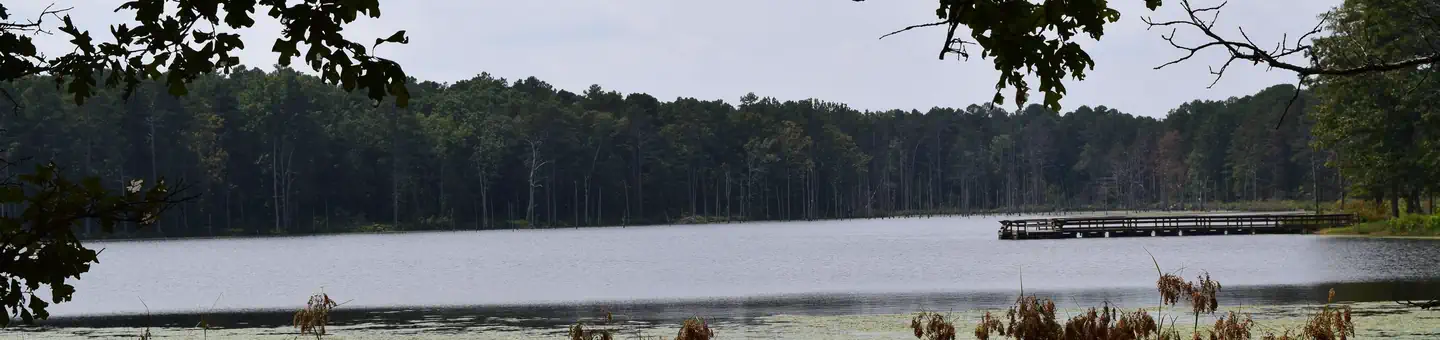
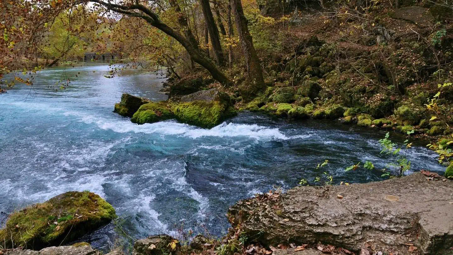
On the National Register nearby
- Randolph Columbus Barrett HouseBuilding · Doniphan · 4.1 mi
- Ripley County CourthouseBuilding · Doniphan · 4.1 mi
- Ripley County Jail, Sheriff's Office and Sheriff's ResidenceBuilding · Doniphan · 4.2 mi
Guidebooks for Missouri
We earn a small commission if you buy through these links. It does not change what we list.
Titles come from Open Library's catalog, matched by subject heading or by title.
Reference
Questions people ask
Do I need a reservation at Float Camp Recreation Area?
Sites at Float Camp Recreation Area take reservations. Reservation needed for Group Picnic Pavilion - From April 1 to October 1. Any walk-up sites are listed on the booking page.
Source: Forest Service
How much does it cost to camp at Float Camp Recreation Area?
Concessionaire Fee Day Use Fee - Picnic Area $3/vehicle. $10/busses. Pavilion - $35/day.
Source: Forest Service
Can I bring an RV to Float Camp Recreation Area?
Float Camp Recreation Area is listed for tents only.
Source: Forest Service
Are there accessible sites at Float Camp Recreation Area?
Tables, fire rings, pedestal grills, lantern posts, water faucets and toilets are all accessible. There are sidewalks at the day use area.
Source: Forest Service
What if Float Camp Recreation Area is full?
The nearest public campgrounds are Deer Leap Recreation Area (1 mi, first-come), Fourche Lake Recreation Area (10.4 mi, first-come), and Pinewoods Lake Recreation Area (18.2 mi).
Source: Campgrounds nearby