Yellowbottom Recreation Site
Yellowbottom offers a one-mile hiking trail and access to Quartzville Creek Wild and Scenic River.
More like this: reservable in Oregon · free in Oregon · big rigs in Oregon · pets allowed in Oregon
Check availability on Recreation.gov ↗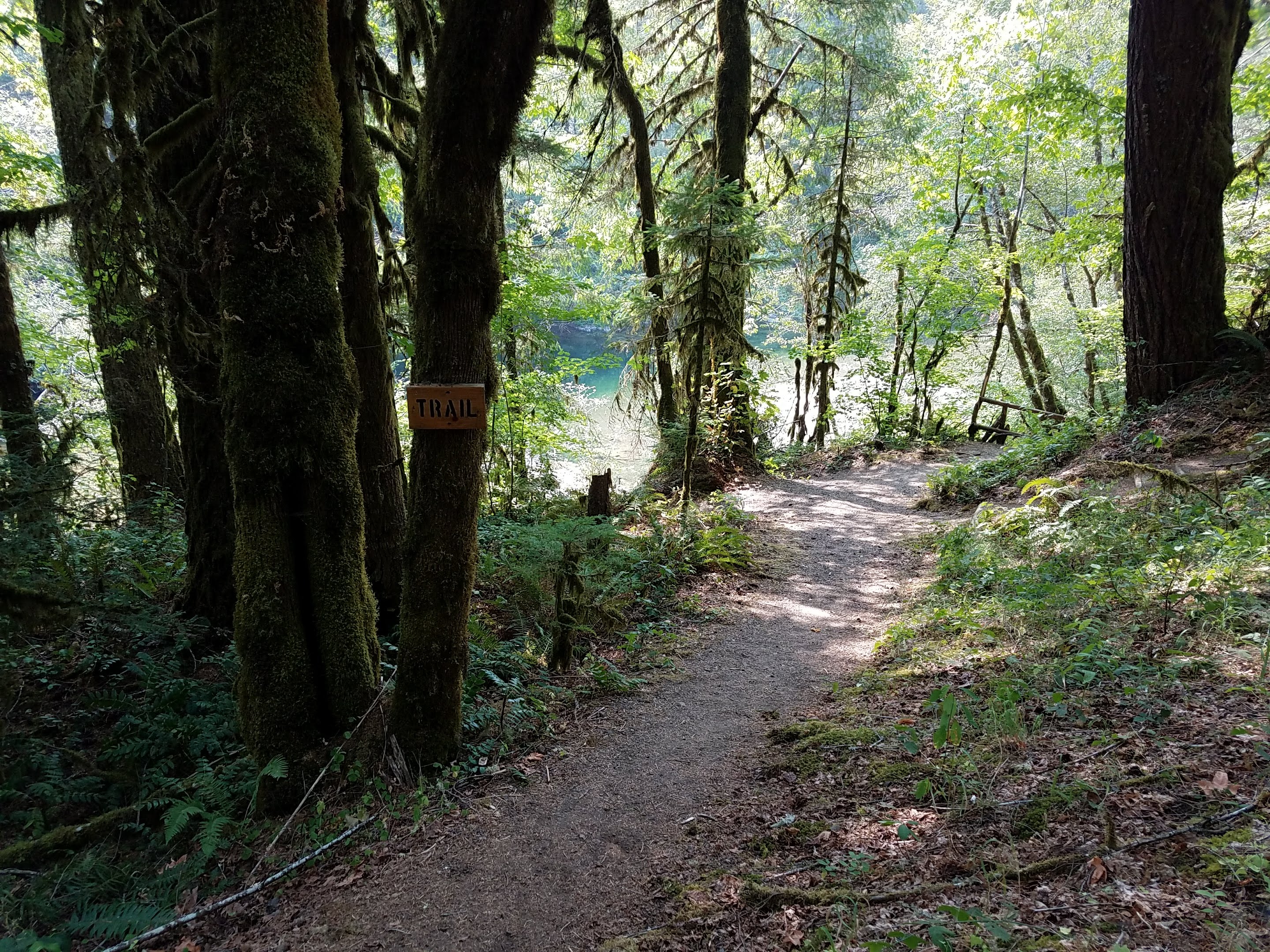
Site mix
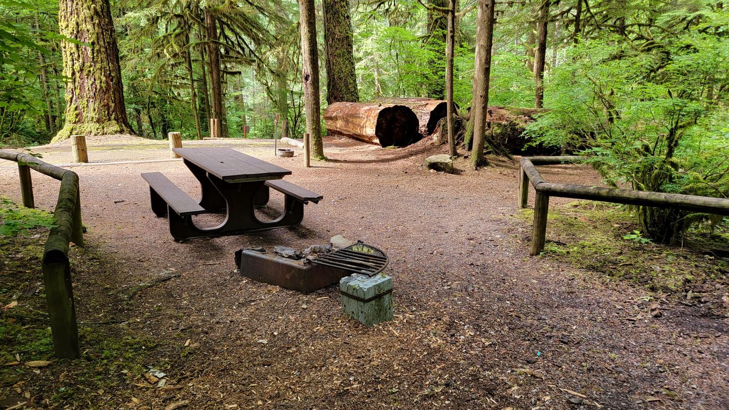
| Standard, no hookups | 21 |
Site guide
21 sites. Tap a filter to narrow the list; the map follows.
| Site | Entry | Fits, ft | Surface | Shade | Water / sewer | People / vehicles | Fires | Rating |
|---|---|---|---|---|---|---|---|---|
| 01 | Pull-through | 14 | Paved | Partial | No / – | 8 / 2 | Yes | Basic |
| 02 | Back-in | 18 | Paved | Partial | No / – | 8 / 2 | Yes | Basic |
| 03 | Back-in | 25 | Paved | Partial | No / – | 8 / 2 | Yes | Basic |
| 04 | Pull-through | 77 | Paved | Partial | No / – | 8 / 2 | Yes | Basic |
| 05 | Pull-through | 107 | Paved | Partial | No / – | 8 / 2 | Yes | Basic |
| 06 | Back-in | 24 | Paved | Partial | No / – | 8 / 2 | Yes | Basic |
| 07 | Back-in | 15 | Paved | Partial | No / – | 8 / 2 | Yes | Basic |
| 08 | 15 | Paved | Partial | No / – | 8 / 2 | Yes | Basic | |
| 09 | Back-in | 28 | Paved | Partial | No / – | 8 / 2 | Yes | Basic |
| 10 | Back-in | 32 | Paved | Partial | No / – | 8 / 2 | Yes | Basic |
Per-site records as published by the managing agency on Recreation.gov. Blank cells mean the agency listed nothing for that site. Check-in 02:00 PM, checkout 01:00 PM.
Amenities & rules
| Hookups | None |
| Max vehicle length | 70 ft |
| Equipment | RVs & trailers, Tents |
| Pets | Allowed |
| Campfires | Allowed, subject to restrictions |
| Fees | No Fees |
Vault toilets
Individual sites vary. Confirm on Recreation.gov or with the managing office.
Weather by month
Getting there
From Sweet Home: Drive east 5 miles on US-20 E/Main St toward 22nd Ave. Turn left on to Quartzville Road, continue on Quartzville Road for 18 miles. From Sisters: Drive west 26 miles on US-20 W/W Cascade Ave. continue on US-20 W for another 42 miles. Turn right on Quartzville Road; continue on Quartzville Road for 18 miles.
| Nearest town | Salem, Oregon |
| Coordinates | 44.5889° N, 122.3734° W · Directions ↗ |
Good to know
- The Old Miner's Meadow group campsite is nearby and can be reserved on recreation.gov.
Charges and cancellations
Standard fees apply and are non-refundable.
Fire nearby
- PrescribedCamas Ts Rx
12 mi from the campground
- PrescribedSisi Lookout Admin Piles Rx - West
34 mi from the campground
- PrescribedAustin Repair Pile Rx - West
36 mi from the campground
- PrescribedSpike Timber Sale Rx - West
36 mi from the campground
Distance is to the reported incident point, not the fire edge. Call the managing office before you drive.
Supplies & services
| Outdoor gear | Timber Town Resale ↗ | 11.7 mi |
| Dump station | Sweet Home RV Dump ↗ | 21.4 mi |
| RV sales & service | RV sales & service ↗ | 35.7 mi |
Locations © OpenStreetMap contributors. Call ahead; hours change seasonally.
Explore
Video
Yellowbottom Camping 2017
Worth a stop
Multiple Forest Service trails into the Middle Santiam Wilderness Drive the Quartzville National Back Country Byway, past the emerald depths of Green Peter Reservoir and along the meandering waters of the Wild and Scenic Quartzville Creek. Enjoy a day of hiking and exploring, or spend the day fishing, swimming, and gold panning on the serene Quartzville River.
- 3.9 miDogwood Picnic Area ↗Day use
- 13.5 mi
- 14.3 miRiggs Lake Trailhead ↗Trailhead
Trails nearby
- 5 miMcQuade Creek ↗5.5 mi trail · hiking, horse, bike
Trail and trailhead records are the Forest Service's. Distances are straight-line to the nearer trail end. Trail conditions are not tracked here.
Public land it sits in
Willamette National Forest begins about 4.3 miles away, and it is the closest of these.
- 4.3 miWillamette National Forest ↗National Forest · Forest Service · 1,801,292 acres
- 6.8 miMiddle Santiam Wilderness ↗Wilderness · Forest Service · 8,758 acres
- 10.6 miMenagerie Wilderness ↗Wilderness · Forest Service · 4,965 acres
Each unit is published as a centre point and an acreage rather than a boundary, so this section stands it in for a circle of the same area. Whether a campground is inside, and how far it is from one it is outside, are both approximate.
Other campgrounds nearby
Cabin and lookout rentals nearby
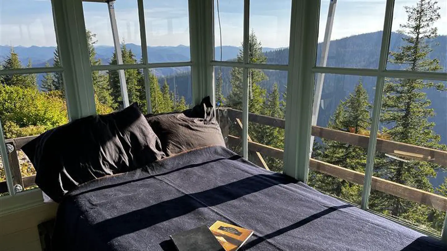
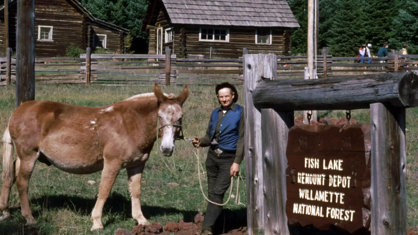
On the National Register nearby
- Hinkle–Reid HouseBuilding · Mill City · 12.4 mi
- Mill City Southern Pacific Rail Road (SPRR) BridgeStructure · Mill City · 12.6 mi
Natural features
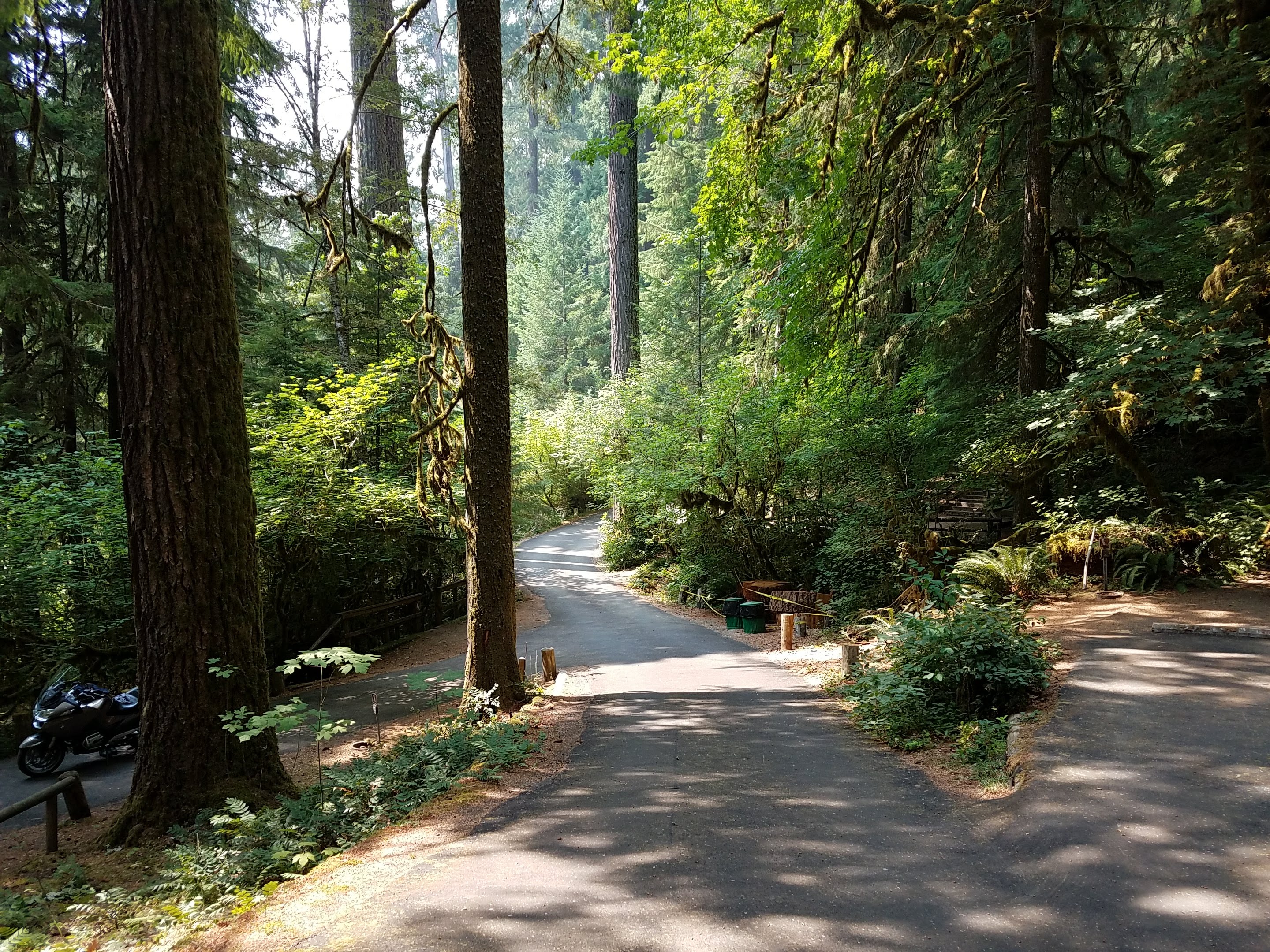
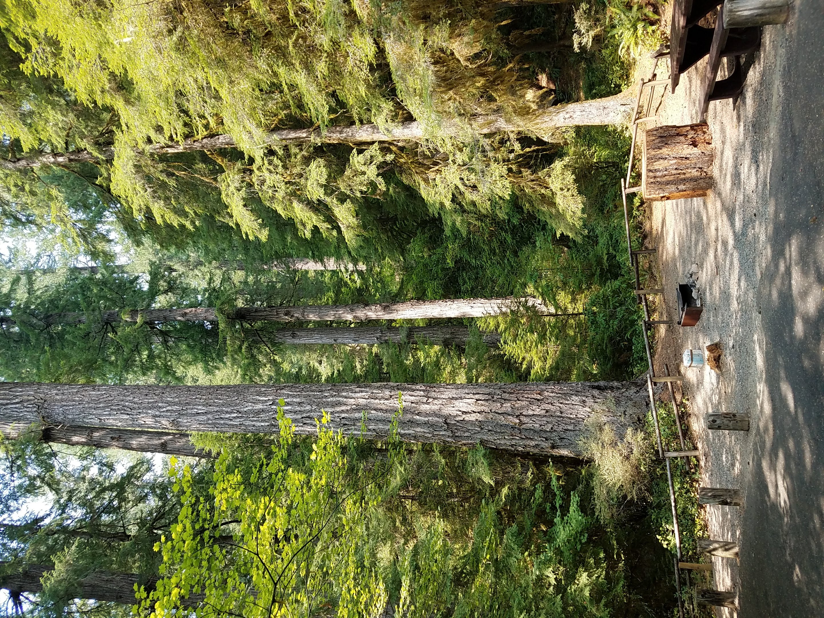
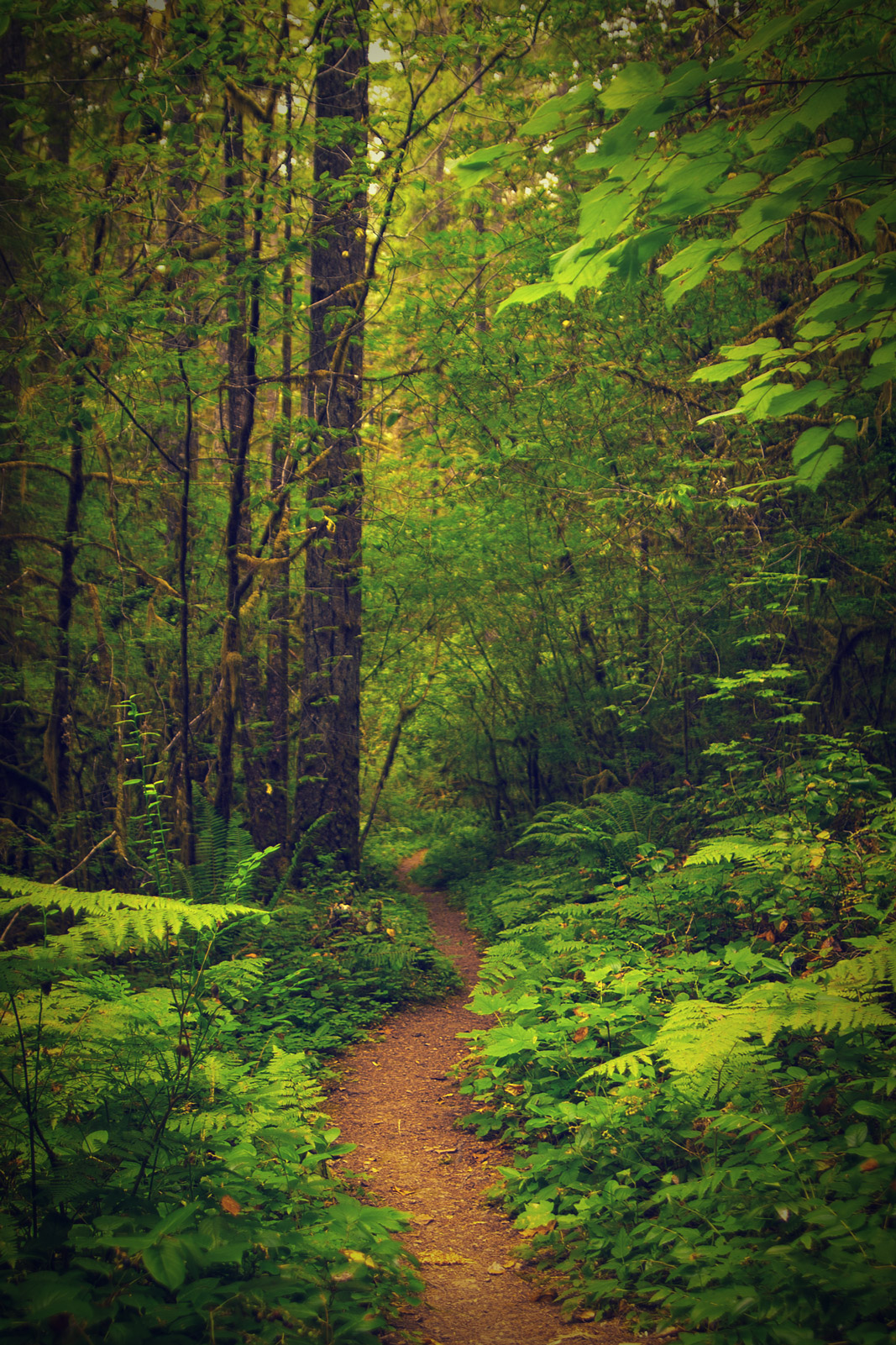
Yellowbottom offers a beautiful swimming hole and a one-mile trail that will lead to old-growth trees. Discover a landscape of old-growth and maturing forests, accented by rock outcropping, wildflowers and vivid fall colors.
Guidebooks for Oregon
We earn a small commission if you buy through these links. It does not change what we list.

Titles come from Open Library's catalog, matched by subject heading or by title.
Reference
Questions people ask
Do I need a reservation at Yellowbottom Recreation Site?
Sites at Yellowbottom Recreation Site are reservable on Recreation.gov. Any walk-up sites are listed on the booking page.
Source: Recreation.gov
How much does it cost to camp at Yellowbottom Recreation Site?
Nothing. Yellowbottom Recreation Site is listed as free. No Fees
Source: Recreation.gov
What time is check-in at Yellowbottom Recreation Site?
Check-in 02:00 PM, checkout 01:00 PM.
Source: Recreation.gov
How many sites does Yellowbottom Recreation Site have?
21 sites, including 21 standard sites without power.
Source: Recreation.gov
Will my RV fit at Yellowbottom Recreation Site?
The longest site here provides 70 feet of vehicle capacity. Most sites are shorter. The sidebar tool checks a trailer or motorhome length against every site.
Source: Will my RV fit
Are pets allowed at Yellowbottom Recreation Site?
Yes, pets are allowed at Yellowbottom Recreation Site. Leash rules apply.
Source: Recreation.gov
Can I have a campfire at Yellowbottom Recreation Site?
Fires are allowed in the provided rings under normal conditions. As of 2026-10-16, there are 4 active fires within 50 miles, so check current restrictions before you light one.
Source: Fire nearby
What is the nearest town to Yellowbottom Recreation Site?
Salem, Oregon. Multiple Forest Service trails into the Middle Santiam Wilderness Drive the Quartzville National Back Country Byway, past the emerald depths of Green Peter Reservoir and along the meandering waters of the Wild and Scenic Quartzville Creek.
Source: Getting there
What if Yellowbottom Recreation Site is full?
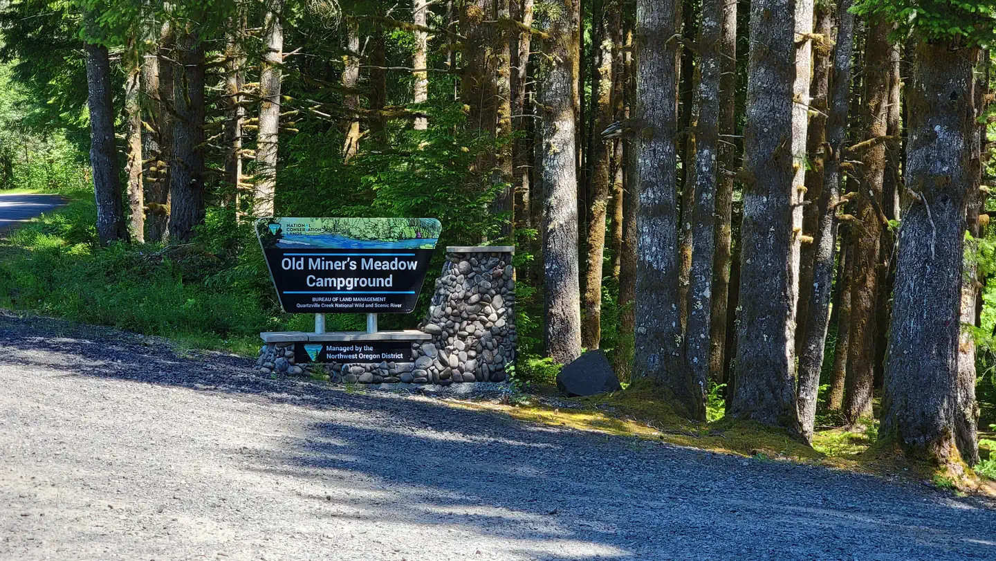
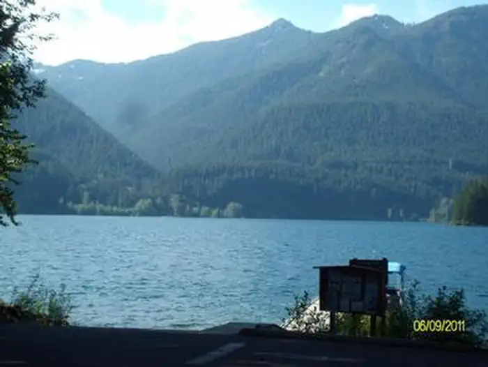
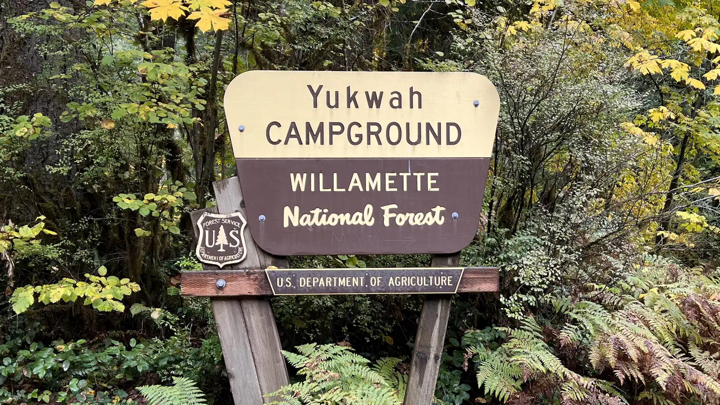
The nearest public campgrounds are Old Miner's Meadow Group Use Area (1.1 mi), Southshore At Detroit Lake - Willamette (12.6 mi, partly first-come), and Yukwah Campground (13.2 mi, partly first-come).
Source: Campgrounds nearby