Reyes Peak Campground
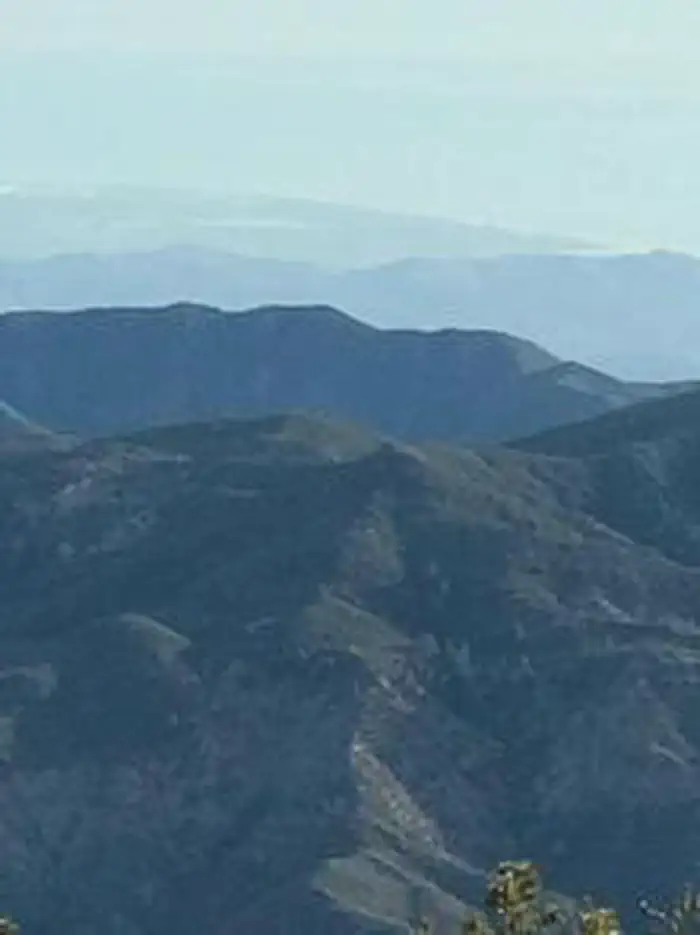
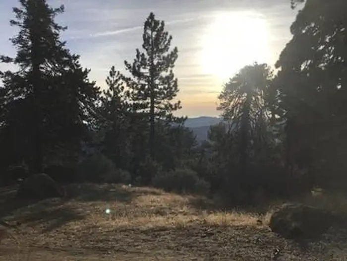
At an elevation of 7,000 feet, Reyes Peak Campground, rises above the Sespe Wilderness and is situated along a ridge with spectacular views of the Cuyama Badlands on one side and the Pacific Ocean from the other side. On clear days you can even see some of the Channel Islands!
Some sites take reservations on Recreation.gov. Others are first-come, first-served.
More like this: first-come in California · reservable in California · tent only in California · pets allowed in California
Check availability on Recreation.gov ↗

Site mix
| Tent-only | 6 |
Site guide
6 sites. Tap a filter to narrow the list; the map follows.
| Site | Entry | Fits, ft | Surface | Shade | People / vehicles | Fires | Rating |
|---|---|---|---|---|---|---|---|
| 01 | Back-in | 25 | Gravel | Partial | 6 / 1 | Yes | Standard |
| 02 | Back-in | 25 | Gravel | Partial | 6 / 1 | Yes | Standard |
| 03 | Back-in | 25 | Gravel | Partial | 6 / 1 | Yes | Standard |
| 04 | Back-in | 25 | Gravel | Partial | 6 / 1 | Yes | Standard |
| 05 | Back-in | 25 | Gravel | Partial | 6 / 1 | Yes | Standard |
| 06 | Back-in | 25 | Gravel | Partial | 6 / 1 | Yes | Standard |
Per-site records as published by the managing agency on Recreation.gov. Blank cells mean the agency listed nothing for that site. Check-in 3:00 PM, checkout 12:00 PM.
Amenities & rules
| Max vehicle length | 25 ft |
| Equipment | Tents |
| Pets | Allowed |
| Campfires | Allowed, subject to restrictions |
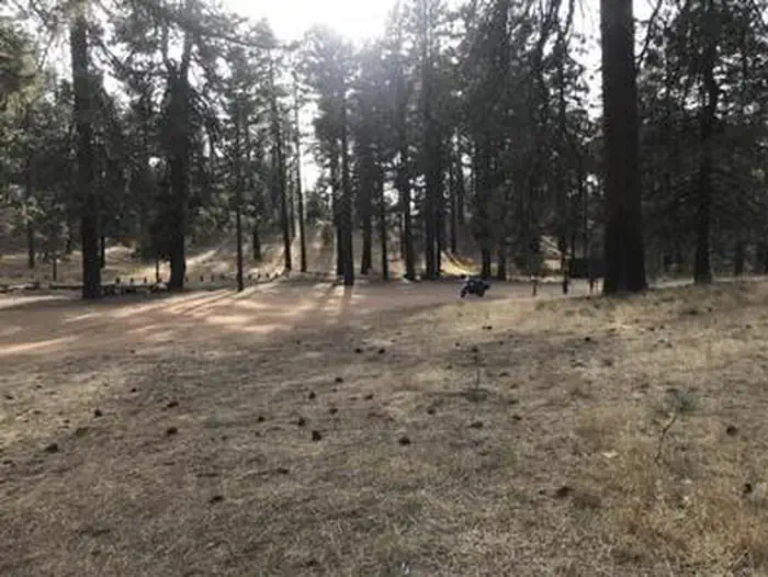
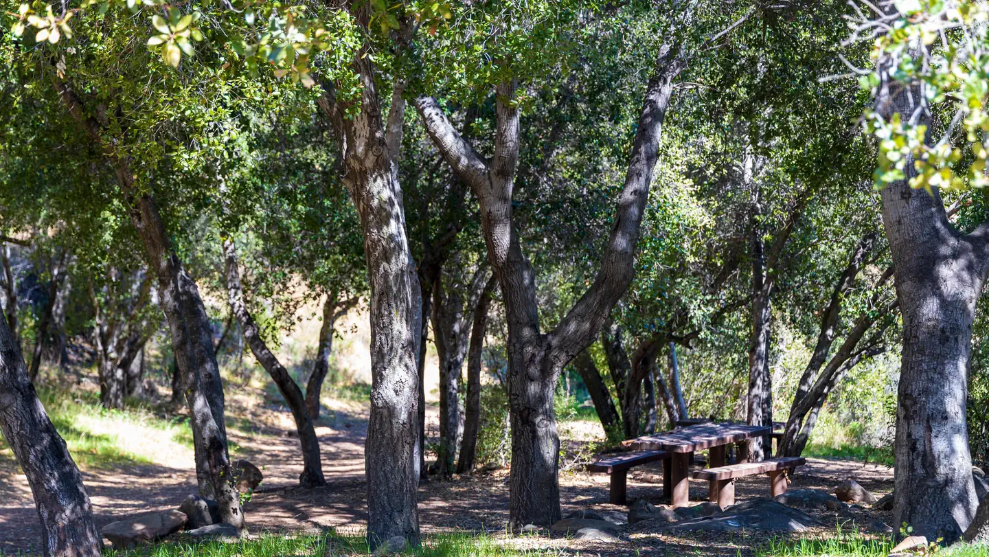
Reyes Peak consists of six campsites situated along the southwest side of the ridge. Each campsite contains a table, barbecue grill and a fire ring. There is one pit toilet located near the first few campsites. No water is available at Reyes Peak. Make sure you bring plenty of water for your stay.
Individual sites vary. Confirm on Recreation.gov or with the managing office.
Season & status
| Status | Closed for the season. Forest Service sites close for the season; check the official page for the reopening date. |
| Season | May to December |
| Forest | Los Padres National Forest |
| Booking | www.recreation.gov or call 1-877-444-677 (4 sites are by reservation). 2 sites are first-come, first-serve. |
| Fees | $30/night for camping, $10 per vehicle. Interagency Senior and Acess Passes provide pass holders with 50% off of camping fees - not valid for extra vehicle parking fee. Cash only. |
Weather by month
Getting there
Follow Highway 33 to the turnoff at Pine Mountain Summit (6N06) which is at mile marker 42.50. Turn right and follow the partially paved road another 5.7 miles. The total distance from Ojai Ranger Station Reyes Peak is 39 miles.
| Coordinates | 34.6381° N, 119.3161° W · Directions ↗ |
Fire nearby
- WildfireBryson
47 mi from the campground · 200 acres · 0% contained
Distance is to the reported incident point, not the fire edge. Call the managing office before you drive.
Supplies & services
| Outdoor gear | Ojai Valley Surplus ↗ | 13.9 mi |
| Dump station | Lake Casitas Recreation Area ↗ | 15.3 mi |
| RV sales & service | Harder RV Storage ↗ | 29 mi |
Locations © OpenStreetMap contributors. Call ahead; hours change seasonally.
Explore
Worth a stop
Hiking trails, biking and fishing are within 30 minutes. Take a day trip south along Hwy 33 to the Rose Valley Road (6N31) to the Piedra Blanca trailhead where three trails can be accessed, all located across Sespe Creek. The Gene Marshall-Piedra Blanca National Recreation Trail (22W03) in the Sespe Wilderness will lead you to nearby massive white rocks, called Piedra Blanca! It is an easy walk for the first three miles. A principal attraction to this section of the Sespe is Rose Valley Falls. This trail to the falls begins just before you enter Rose Valley Campground. Follow it for a short half-mile and you will be at the base of the falls. The cliffs at the falls are arkosic sandstone and crumble easily, so tread lightly. Rose Valley Falls is the tallest waterfall in the range and while it is an easy hike to the base of the 100-foot tall lower tier of the waterfall (0.8 miles round trip with 150 feet of elevation gain), it is adventure to reach the more impressive upper tier. Please do not climb around on steep sections or get close to the edge. You will need to park outside Rose Valley Campground to hike the trails.
- 10.4 mi
- 12.1 miFishbowls Trailhead - 21W05 ↗Trailhead
- 14.7 miWest Tumamait Trailhead - 21W03 ↗Trailhead
Trails nearby
- under 0.1 miRaspberry Spring0.5 mi trail · hiking, horse
- 0.4 miChorro Grande ↗5.1 mi trail · hiking, horse, bike
- 0.6 miBoulder Canyon ↗4.8 mi trail · hiking, horse, bike
- 1.3 miReyes Peak ↗5.7 mi trail · hiking, horse, bike
- 2.8 miGene Marshall-Piedra Blanca ↗18.6 mi trail · hiking, horse, bike · national_recreation_or_other
- 3.6 miPotrero John1.7 mi trail · hiking, horse, bike
Trail and trailhead records are the Forest Service's. Distances are straight-line to the nearer trail end. Trail conditions are not tracked here.
Public land it sits in
Matilija Wilderness begins about 3.8 miles away, and it is the closest of these.
- 3.8 miMatilija Wilderness ↗Wilderness · Forest Service · 29,207 acres
- 6.7 miSespe Wilderness ↗Wilderness · Forest Service · 219,209 acres
- 7.3 miDick Smith Wilderness ↗Wilderness · Forest Service · 71,275 acres
Each unit is published as a centre point and an acreage rather than a boundary, so this section stands it in for a circle of the same area. Whether a campground is inside, and how far it is from one it is outside, are both approximate.
Other campgrounds nearby

On the National Register nearby
- Charles M. Pratt HouseBuilding · Ojai · 12.6 mi
- St. Thomas Aquinas ChapelBuilding · Ojai · 13.7 mi
- Isis TheaterBuilding · Ojai · 13.8 mi
Natural features
The landscape includes Jeffrey pines, sugar pines, white fir and ponderosa pines. Wildflowers are abundant in the spring and early summer. Be dazzled by lupine, false lupine, scarlet bugler and many others. Keep your eyes open for red-tailed hawks soaring above the trees. If you are lucky, you may see a California condor! Other birds in the area include woodpeckers and chickadees. Deer, bear, and coyote also live in the area.
Recreation
Several trails leave the Reyes Peak Campground area. Chorro Grande Trail is located at the gate just past the last campsite. Raspberry Spring Trail will lead you north on a short one-half mile walk through the pines. It starts at the parking area on the western edge of the campground. The Reyes Peak Trail (23W04) is moderately difficult. It leads eastward into the Sespe Wilderness for 5.8 miles to the Gene Marshall-Piedra Blanca National Recreation Trail (22W03). Remember, no mountain bikes are allowed in the wilderness.
Guidebooks for California
We earn a small commission if you buy through these links. It does not change what we list.

Titles come from Open Library's catalog, matched by subject heading or by title.
Reference
Questions people ask
Do I need a reservation at Reyes Peak Campground?
For some sites. Some sites take reservations on Recreation.gov. Others are first-come, first-served.
Source: Recreation.gov
How much does it cost to camp at Reyes Peak Campground?
$30/night for camping, $10 per vehicle. Interagency Senior and Acess Passes provide pass holders with 50% off of camping fees - not valid for extra vehicle parking fee. Cash only.
Source: Recreation.gov
What time is check-in at Reyes Peak Campground?
Check-in 3:00 PM, checkout 12:00 PM.
Source: Recreation.gov
Is Reyes Peak Campground open right now?
Closed for the season as of Oct 16, 2026. Season May to December.
Source: Forest Service status
How many sites does Reyes Peak Campground have?
6 sites, including 6 tent-only sites.
Source: Recreation.gov
Will my RV fit at Reyes Peak Campground?
The longest site here provides 25 feet of vehicle capacity. Most sites are shorter. The sidebar tool checks a trailer or motorhome length against every site.
Source: Will my RV fit
Are pets allowed at Reyes Peak Campground?
Yes, pets are allowed at Reyes Peak Campground. Leash rules apply.
Source: Recreation.gov
Can I have a campfire at Reyes Peak Campground?
Fires are allowed in the provided rings under normal conditions. As of 2026-10-16, there is 1 active fire within 50 miles, so check current restrictions before you light one.
Source: Fire nearby
What is there to do at Reyes Peak Campground?
Several trails leave the Reyes Peak Campground area. The Recreation section on this page has the rest.
Source: Recreation
What if Reyes Peak Campground is full?
The nearest public campgrounds are Pine Mountain Campground (0.6 mi), Reyes Creek Campground (3 mi), and Rancho Nuevo Campground (6.1 mi, first-come).
Source: Campgrounds nearby