Rancho Nuevo Campground
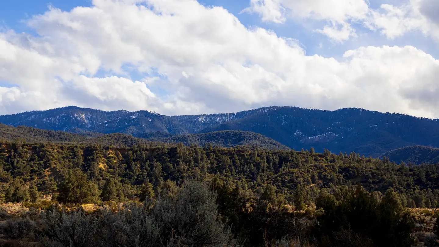
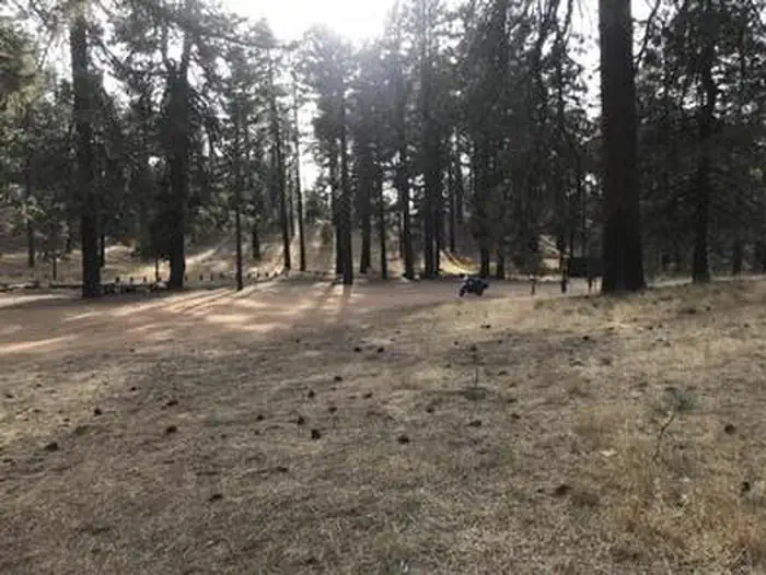
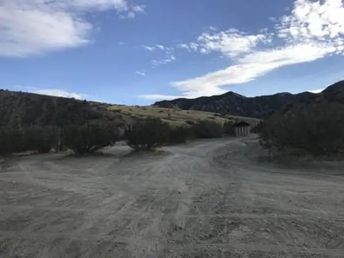
Rancho Nuevo Campground is a primitive campground with 2 sites on a grassy canyon bottom, 4-wheel drive access only. Road is subject to close in the winter.
More like this: first-come in California

Season & status
| Status | Closed for the season. Forest Service sites close for the season; check the official page for the reopening date. |
| Season | January to December |
| Forest | Los Padres National Forest |
| Fees | No fee. |
| Rules | Current fire restrictions: www.fs.usda.gov/lpnf |
Weather by month
Getting there
Take the Lockwood-Ozena Road, travel north on Highway 33 for approximately two miles to the Rancho Nuevo Creek/Tinta Road (FS 7N04).
| Coordinates | 34.6952° N, 119.3980° W · Directions ↗ |
Supplies & services
| Outdoor gear | Ojai Valley Surplus ↗ | 19.4 mi |
| Dump station | Lake Casitas Recreation Area ↗ | 19.5 mi |
| RV sales & service | Harder RV Storage ↗ | 27.3 mi |
Locations © OpenStreetMap contributors. Call ahead; hours change seasonally.
Explore
Worth a stop
- 14.5 miWest Tumamait Trailhead - 21W03 ↗Trailhead
Trails nearby
- under 0.1 miRancho Nuevo ↗5.5 mi trail · hiking, horse
- 1.1 miDeal ↗6.2 mi trail · hiking, horse, bike
- 1.2 miCuyama River Corridor OHV #102 ↗6.6 mi trail · hiking, horse, bike, 4WD
- 1.8 miTinta OHV #101 ↗6.9 mi trail · hiking, horse, bike, motorcycle and 1 more
- 2 miDeal Connector0.8 mi trail · hiking, horse, bike
- 2.2 miMine Camp0.7 mi trail · hiking, horse, bike
Trail and trailhead records are the Forest Service's. Distances are straight-line to the nearer trail end. Trail conditions are not tracked here.
Public land it sits in
Dick Smith Wilderness begins about 2.1 miles away, and it is the closest of these.
- 2.1 miDick Smith Wilderness ↗Wilderness · Forest Service · 71,275 acres
- 5.9 miMatilija Wilderness ↗Wilderness · Forest Service · 29,207 acres
- 8.3 miChumash Wilderness ↗Wilderness · Forest Service · 37,793 acres
Each unit is published as a centre point and an acreage rather than a boundary, so this section stands it in for a circle of the same area. Whether a campground is inside, and how far it is from one it is outside, are both approximate.
Other campgrounds nearby

On the National Register nearby
- Madulce Guard Station and SiteBuilding · Santa Barbara · 10.3 mi
Guidebooks for California
We earn a small commission if you buy through these links. It does not change what we list.

Titles come from Open Library's catalog, matched by subject heading or by title.
Reference
Questions people ask
Do I need a reservation at Rancho Nuevo Campground?
No. Rancho Nuevo Campground is first-come, first-served. Sites are taken on arrival and paid at the fee station.
Source: Forest Service
How much does it cost to camp at Rancho Nuevo Campground?
No fee.
Source: Forest Service
Is Rancho Nuevo Campground open right now?
Closed for the season as of Oct 16, 2026. Season January to December.
Source: Forest Service status
What if Rancho Nuevo Campground is full?
The nearest public campgrounds are Reyes Creek Campground (5.2 mi), Pine Mountain Campground (5.6 mi), and Reyes Peak Campground (6.1 mi, partly first-come).
Source: Campgrounds nearby