Thompson Creek Campground
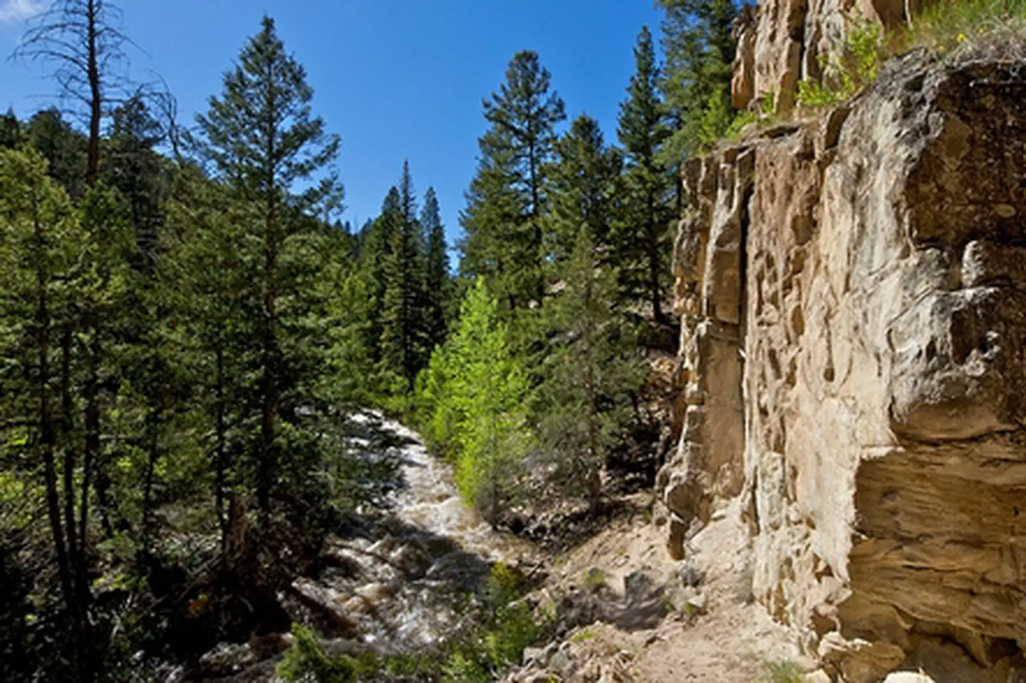
The Thompson Creek Recreation Management Area is located just a few miles southwest of Carbondale and provides beautiful, remote recreational opportunities. On the North end of the RMA is the Lorax trail, which is a popular non motorized route. In the southwest corner of the area is the Thompson Creek campground and trail, which winds along Thompson Creek to views of the rare geologic “fin” formations. There are 4 shaded campsites along the creek with metal fire rings. There are not picnic tables or restrooms. Must pack out all human waste to eliminate contamination of creek. There are not waste collections.
More like this: first-come in Colorado · free in Colorado
Amenities & rules
| Fees | No fee |
| Stay limit | April-August: 7 Days, September-March: 14 days. |
Individual sites vary. Confirm on Recreation.gov or with the managing office.
Weather by month
Getting there
The campground is located along Thompson Creek. Go west on State Highway 133 in the town of Carbondale. At the roundabout take Main Street (County Road 108) which turns into North Thompson Creek Road. Parking for the Lorax trail head is approximately 4 miles up on the left.
| Nearest town | Silt, Colorado |
| Coordinates | 39.3229° N, 107.2824° W · Directions ↗ |
Good to know
- Access is not recommended during wet or snowy conditions.
Fire nearby
- WildfireWillow
45 mi from the campground · 7,359 acres · 92% contained
Distance is to the reported incident point, not the fire edge. Call the managing office before you drive.
Supplies & services
| Outdoor gear | Independence Run & Hike ↗ | 6.4 mi |
| Dump station | Dump station ↗ | 29.4 mi |
Locations © OpenStreetMap contributors. Call ahead; hours change seasonally.
Explore
Trails nearby
- 1.9 miPerham Creek4.3 mi trail · hiking, horse
- 2.5 miMiddle Thompson ↗4.7 mi trail · hiking, horse, bike
- 3.3 miLake Ridge Lakes2.5 mi trail · hiking, horse, bike
- 3.5 miDoak'S Trail ↗5.9 mi trail · hiking, horse
- 4.4 miBraderich/South Thompson ↗5.5 mi trail · hiking, horse, bike
Trail and trailhead records are the Forest Service's. Distances are straight-line to the nearer trail end. Trail conditions are not tracked here.
Public land it sits in
This campground sits inside White River National Forest.
- inWhite River National Forest ↗National Forest · Forest Service · 2,482,711 acres
- 10.5 miMaroon Bells-Snowmass Wilderness ↗Wilderness · Forest Service · 181,973 acres
- 13.2 miGrand Mesa, Uncompahgre and Gunnison National Forests ↗National Forest · Forest Service · 3,153,199 acres
Each unit is published as a centre point and an acreage rather than a boundary, so this section stands it in for a circle of the same area. Whether a campground is inside, and how far it is from one it is outside, are both approximate.
Other campgrounds nearby


On the National Register nearby
- Holland–Thompson PropertyHistoric district · Carbondale · 6.2 mi
- Satank BridgeStructure · Carbondale · 7.1 mi
- Earnest RanchBuilding · Glenwood Springs · 8.3 mi
Guidebooks for Colorado
We earn a small commission if you buy through these links. It does not change what we list.



Titles come from Open Library's catalog, matched by subject heading or by title.
Reference
Questions people ask
Do I need a reservation at Thompson Creek Campground?
No. Thompson Creek Campground is first-come, first-served. Sites are taken on arrival and paid at the fee station.
Source: How first-come camping works
How much does it cost to camp at Thompson Creek Campground?
Nothing. Thompson Creek Campground is listed as free. No fee
How long can I stay at Thompson Creek Campground?
April-August: 7 Days, September-March: 14 days.
What is the nearest town to Thompson Creek Campground?
Silt, Colorado.
Source: Getting there
What if Thompson Creek Campground is full?
The nearest public campgrounds are Avalanche Campground (7.3 mi, first-come), Redstone (9.3 mi), and McClure Campground (13.8 mi, first-come).
Source: Campgrounds nearby