Bogan Flats Campground And Group
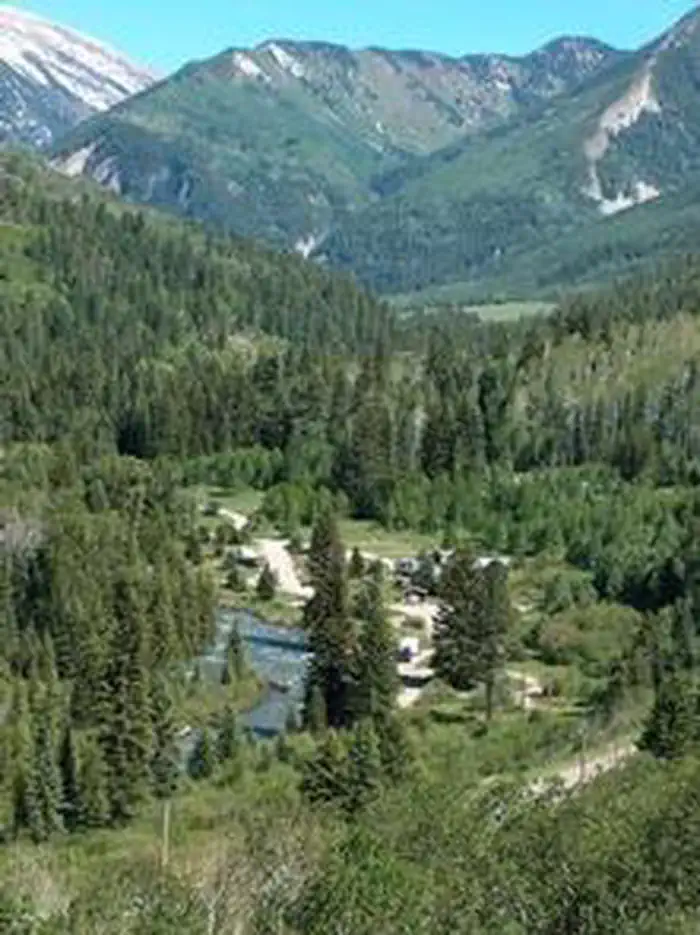
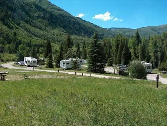
Bogan Flats Campground stretches along the Crystal River in a valley of aspen groves, towering Ponderosa Pine, spruce, and willow. The setting is ideal for larger groups seeking recreation and relaxation in White River National Forest. Sites in the campground are widely spaced and offer a nice mixture of open and shaded spots, with several sites at the river's edge. The group site is located away from the main campground, offering a more private location.
More like this: reservable in Colorado · big rigs in Colorado · pets allowed in Colorado · group sites in Colorado
Check availability on Recreation.gov ↗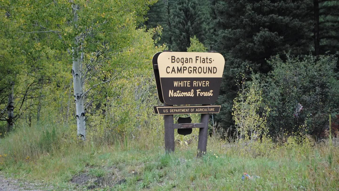
Site mix
| Standard, no hookups | 32 |
| RV, no hookups | 3 |
| Group sites | 1 |
| Host/management | 1 |
Site guide
Will my RV fit
The longest site here provides 40 feet of vehicle capacity. Most sites are shorter.
36 sites in 2 loops. Tap a filter to narrow the list; the map follows.
| Site | Loop | Type | Entry | Surface | Shade | People / vehicles | Fires | Accessible |
|---|---|---|---|---|---|---|---|---|
| 002 | BOGA | Standard | Back-in | Gravel | Partial | 10 / 1 | Yes | |
| 003 | BOGA | Standard | Back-in | Gravel | Partial | 10 / 1 | Yes | |
| 004 | BOGA | Standard | Back-in | Gravel | Partial | 10 / 1 | Yes | |
| 005 | BOGA | Standard | Back-in | Gravel | Partial | 10 / 1 | Yes | |
| 006 | BOGA | RV | Pull-through | Gravel | 10 / 1 | Yes | ||
| 007 | BOGA | Standard | Back-in | Gravel | Partial | 10 / 1 | Yes | |
| 008 | BOGA | Standard | Back-in | Gravel | 10 / 1 | Yes | ||
| 009 | BOGA | Standard | Back-in | Gravel | 10 / 1 | Yes | ||
| 010 | BOGA | Standard | Back-in | Gravel | 10 / 1 | Yes | ||
| 011 | BOGA | Standard | Back-in | Gravel | 10 / 1 | Yes |
Per-site records as published by the managing agency on Recreation.gov. Blank cells mean the agency listed nothing for that site. Check-in 2:00 PM, checkout 11:00 AM.
Amenities & rules
| Hookups | None |
| Max vehicle length | 80 ft |
| Equipment | RVs & trailers, Tents |
| Pets | Allowed |
| Campfires | Allowed, subject to restrictions |
| Accessibility | Sites 021, 024, 028, 001 are listed accessible |
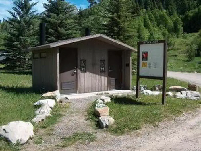
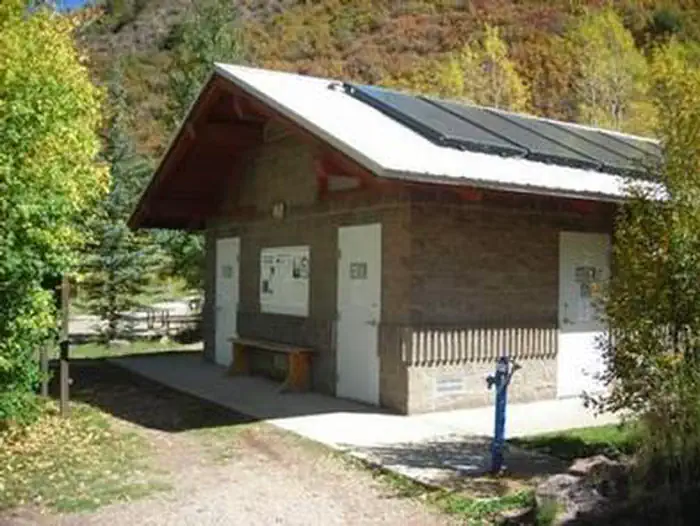
Bogan Flats Group site has one site available for reservation. There is no electric hook ups and no water is available at the group site. Group Site users must go to the main Bogan Flats Campground to fill containers. Group site facilities include: hardened parking for approximately 10 campers/RV's depending on the size. This gravel area must accommodate passenger vehicles as well. The site has 3 regular fire rings, and 1 group size fire ring. 1 pedestal grill, 5 food lockers, 8 picnic tables, a double vault toilet, and a horseshoe pit.
Individual sites vary. Confirm on Recreation.gov or with the managing office.
Season & status
| Forest | White River National Forest |
| Rules | 40-foot maximum RV length |
Weather by month
Getting there
Take I-70 west of Denver, Colorado, to Glenwood Spring exit 116, Highway 82, south to Carbondale. Take Highway 133 south for 20 miles. Turn left on Gunnison County Road 3 toward Marble. Campground located another 1.5 miles near the river.
| Nearest town | Carbondale, Colorado |
| Coordinates | 39.0997° N, 107.2583° W · Directions ↗ |
Fire nearby
- WildfireWillow
45 mi from the campground · 7,359 acres · 92% contained
Distance is to the reported incident point, not the fire edge. Call the managing office before you drive.
Supplies & services
| Outdoor gear | Butte & Co. ↗ | 20.9 mi |
| Dump station | Dump station ↗ | 30.9 mi |
Locations © OpenStreetMap contributors. Call ahead; hours change seasonally.
Explore
Video
Bogan Flats Campground, Marble Colorado - 4K Video of ALL Campsites (including Accessibili
Worth a stop
The quaint mountain town of Redstone is a hidden gem, located south of Carbondale. In addition to shops, galleries, and restaurants, the town boasts a castle that was built by industrialist John Osgood at the turn of the 20th century.
- 10 mi
Trails nearby
- 1.4 miLily Lake ↗11.2 mi trail · hiking, horse
- 2 miPlacita1.8 mi trail · hiking, horse
- 2.2 miRaggeds ↗14.6 mi trail · hiking, horse, bike, motorcycle and 2 more
- 2.2 miMcClure Pass X-C Ski4 mi trail · hiking, horse, bike
- 2.4 miHuntsman Ridge3.8 mi trail · hiking, horse, bike, motorcycle and 2 more
- 4.4 miCarbonate Creek/Buckskin ↗6.7 mi trail · hiking, horse
Trailheads within three miles
- 2.8 miPlacita #1966 ↗White River National Forest
Trail and trailhead records are the Forest Service's. Distances are straight-line to the nearer trail end. Trail conditions are not tracked here.
Public land it sits in
This campground sits inside Grand Mesa, Uncompahgre and Gunnison National Forests.
- inGrand Mesa, Uncompahgre and Gunnison National Forests ↗National Forest · Forest Service · 3,153,199 acres
- 2.2 miWhite River National Forest ↗National Forest · Forest Service · 2,482,711 acres
- 3 miMaroon Bells-Snowmass Wilderness ↗Wilderness · Forest Service · 181,973 acres
Each unit is published as a centre point and an acreage rather than a boundary, so this section stands it in for a circle of the same area. Whether a campground is inside, and how far it is from one it is outside, are both approximate.
Other campgrounds nearby



On the National Register nearby
- Marble High SchoolBuilding · Marble · 4 mi
- Marble Town HallBuilding · Marble · 4 mi
- Haxby HouseBuilding · Marble · 4.2 mi
Natural features
In the heart of the Rocky Mountains, the 2.3 million acre White River National Forest is a place of serenity and adventure, boasting 8 wilderness areas, 4 defined seasons, and 10 peaks surpassing 14,000 feet in elevation. The Crystal River flows near the campground and drains the Valley of the Coal Miners, a glacial valley that was once a center of coal mining in southwestern Colorado. Wildlife in the area abounds. Bighorn sheep navigate rocky ridges and bull elk bugle at dusk. Scenic rivers sustain populations of cutthroat, rainbow, and brown trout. Alpine regions provide habitat for pika and ptarmigan. These species, along with many others, depend on surrounding undeveloped wilderness, clean streams, and diverse forests to live.
Recreation
Crystal River, a tributary of Roaring Fork River, is renowned for its fly fishing. Rainbow, cutthroat and brown trout are plentiful in this waterway. A hike up Mt. Sopris offers spectacular panoramic views. This 12,953-foot mountain dominates the surrounding landscape. The hike is 14.8 miles with a 4,600-foot. elevation gain. In summer, wildflowers carpet the trail through aspen groves and mixed conifer forest, climbing up to talus slopes. Other popular activities in the area include jeep tours, biking, and historic sightseeing.
Guidebooks for Colorado
We earn a small commission if you buy through these links. It does not change what we list.



Titles come from Open Library's catalog, matched by subject heading or by title.
Reference
Questions people ask
Do I need a reservation at Bogan Flats Campground And Group?
Sites at Bogan Flats Campground And Group are reservable on Recreation.gov. Any walk-up sites are listed on the booking page.
Source: Recreation.gov
What time is check-in at Bogan Flats Campground And Group?
Check-in 2:00 PM, checkout 11:00 AM.
Source: Recreation.gov
How many sites does Bogan Flats Campground And Group have?
37 sites, including 32 standard sites without power, 3 RV sites without hookups, and 1 group site.
Source: Recreation.gov
Will my RV fit at Bogan Flats Campground And Group?
Recreation.gov lists no practical vehicle capacity limit for the largest site here, which usually means pull-through or open parking. The sidebar tool checks a trailer or motorhome length against every site.
Source: Will my RV fit
Are pets allowed at Bogan Flats Campground And Group?
Yes, pets are allowed at Bogan Flats Campground And Group. Leash rules apply.
Source: Recreation.gov
Can I have a campfire at Bogan Flats Campground And Group?
Fires are allowed in the provided rings under normal conditions. As of 2026-10-16, there is 1 active fire within 50 miles, so check current restrictions before you light one. 40-foot maximum RV length
Source: Fire nearby
Are there accessible sites at Bogan Flats Campground And Group?
Sites 021, 024, 028, and 001 are listed accessible on Recreation.gov. What that covers (a paved pad, an accessible table, a nearby accessible restroom) is on each site's booking page.
Source: Recreation.gov
What is there to do at Bogan Flats Campground And Group?
Crystal River, a tributary of Roaring Fork River, is renowned for its fly fishing. The Recreation section on this page has the rest.
Source: Recreation
What is the nearest town to Bogan Flats Campground And Group?
Carbondale, Colorado. The quaint mountain town of Redstone is a hidden gem, located south of Carbondale.
Source: Getting there
What if Bogan Flats Campground And Group is full?
The nearest public campgrounds are McClure Campground (3.4 mi, first-come), Redstone (6.7 mi), and Erickson Springs (9.9 mi, first-come).
Source: Campgrounds nearby