Alsea Falls Recreation Site (Campground)
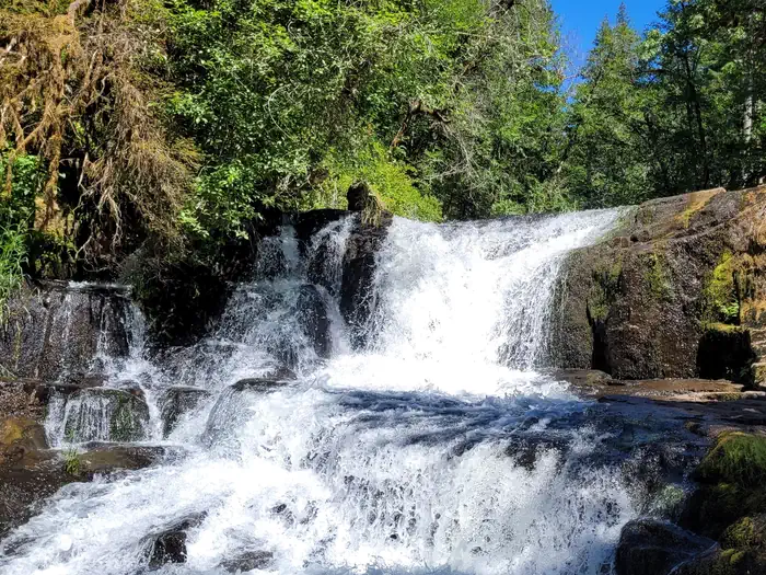
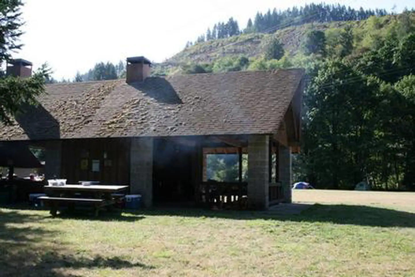
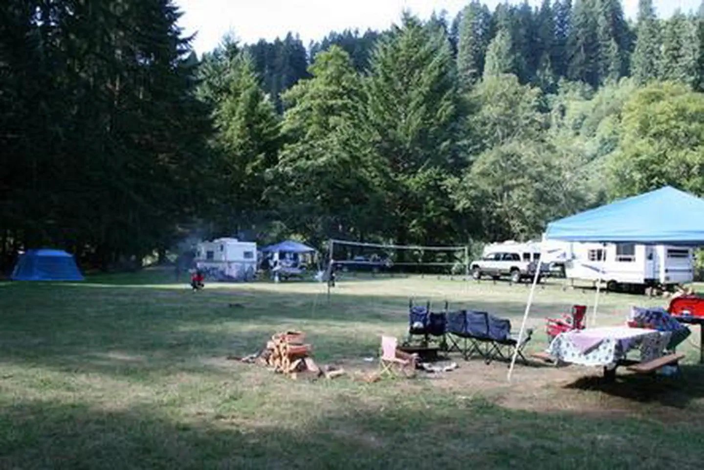
You must download before you reach the site since there is no cell reception in the drainage. Alsea Falls Recreation Site is located along a Bureau of Land Management National Back Country Byway, located in the Oregon Coast Range, 13 miles west of Monroe, Oregon, in Benton County. Alsea Falls is open for camping the first weekend in May through the end of September of each year. Day use is open year round. The South Fork of the Alsea River flows through the Alsea Falls Recreation Site, cascading down 30 feet to form Alsea Falls in the day use area.
More like this: reservable in Oregon · pets allowed in Oregon
Check availability on Recreation.gov ↗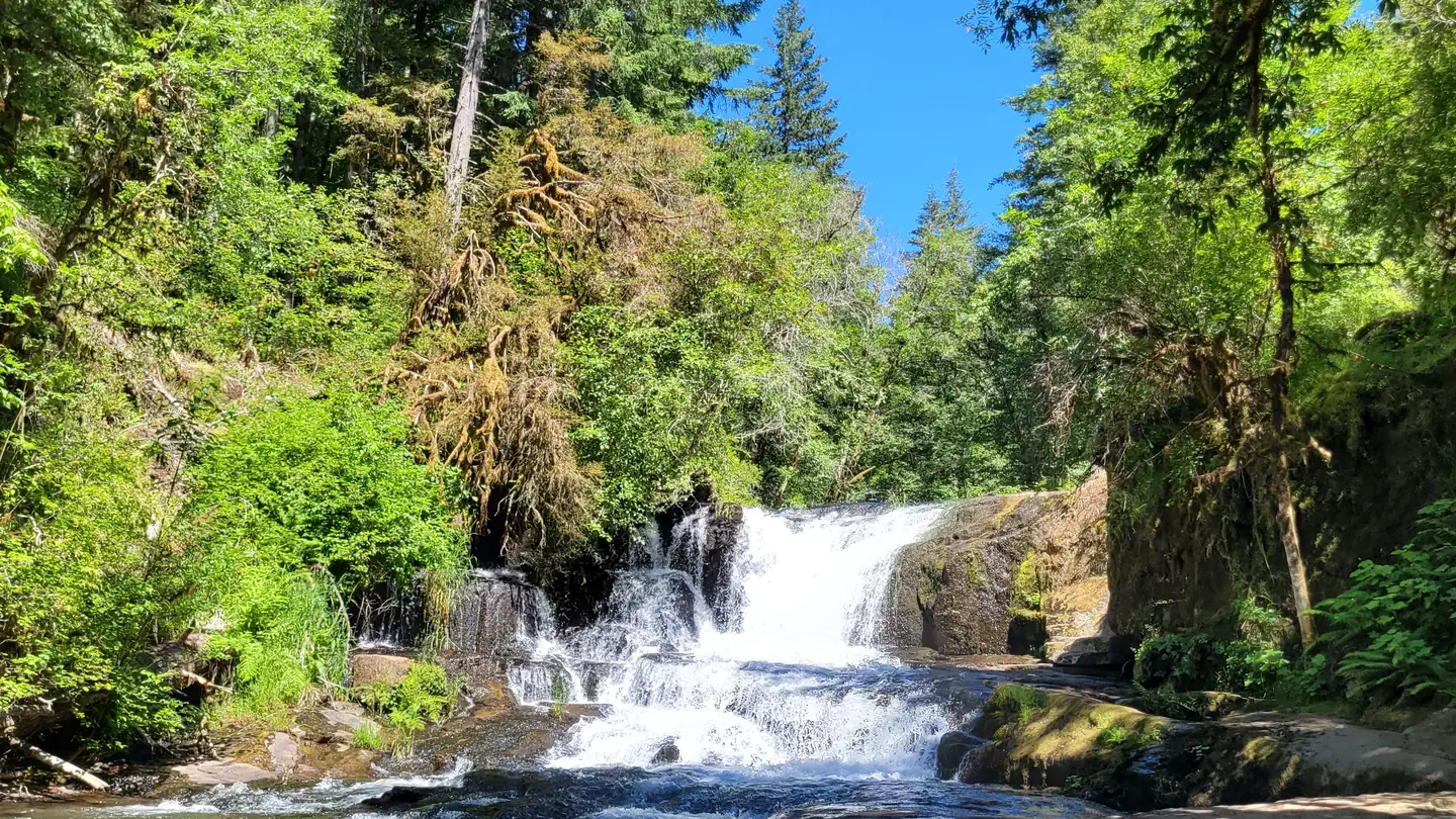
Site mix
| Standard, no hookups | 16 |
| Walk-in | 5 |
| Host/management | 17 |
Site guide
Will my RV fit
The longest site here provides 32 feet of vehicle capacity. Most sites are shorter.
21 sites in 2 loops. Tap a filter to narrow the list; the map follows.
| Site | Loop | Type | Entry | Fits, ft | Surface | Shade | Waterfront | People / vehicles | Fires | Accessible | Rating |
|---|---|---|---|---|---|---|---|---|---|---|---|
| 01 | Campground | Standard | Back-in | 32 | Paved | Partial | Riverfront | 8 / 2 | Yes | Basic | |
| 02 | Campground | Standard | Back-in | 32 | Paved | Partial | Riverfront | 8 / 2 | Yes | Basic | |
| 03 | Campground | Standard | Back-in | 32 | Paved | Partial | 8 / 2 | Yes | Basic | ||
| 04 | Campground | Standard | Back-in | 32 | Paved | Partial | 8 / 2 | Yes | Basic | ||
| 05 | Campground | Standard | Back-in | 32 | Paved | Full | 8 / 2 | Yes | Yes | Basic | |
| 06 | Campground | Standard | Back-in | 32 | Paved | Partial | 8 / 2 | Yes | Basic | ||
| 07 | Campground | Standard | Back-in | 32 | Paved | Full | 8 / 2 | Yes | Yes | Basic | |
| 08 | Campground | Standard | Back-in | 32 | Paved | Full | 8 / 2 | Yes | Yes | Basic | |
| 09 | Campground | Standard | Back-in | 32 | Paved | Partial | 8 / 2 | Yes | Basic | ||
| 10 | Campground | Standard | Back-in | 32 | Paved | Partial | 8 / 2 | Yes | Yes | Basic |
Per-site records as published by the managing agency on Recreation.gov. Blank cells mean the agency listed nothing for that site. Check-in 2:00 PM, checkout 1:00 PM.
Amenities & rules
| Hookups | None |
| Max vehicle length | 32 ft |
| Equipment | RVs & trailers, Tents |
| Pets | Allowed |
| Campfires | Allowed, subject to restrictions |
| Fees | Northwest Oregon District Recreation Site Business Plan. The $15, $20, and $40 campsite fee includes one vehicle per site. Extra camping vehicle fee of $5 each is collected at the site. Additional service fees apply and are non-refundable. |
| Accessibility | Sites 05, 07, 08, 10 and 4 more are listed accessible |
This recreation area has 16 individual campsites; all are reservable. Amenities within the campground include drinking water and vault toilets. Several campsites can accommodate large RVs or trailers: up to 32 feet long.
Individual sites vary. Confirm on Recreation.gov or with the managing office.
Weather by month
Getting there
From Corvallis: Take Hwy 99W south about 15 miles. Turn right on Alpine Road, follow for approximately 9 miles. Alpine Road turns into South Fork Road. Follow about 4 miles to the Alsea Falls Campground on the right. From Alsea: Travel south from the town Alsea on Alsea-Deadwood Hwy for about 1 mile.
| Nearest town | Alsea, Oregon |
| Coordinates | 44.3206° N, 123.4878° W · Directions ↗ |
Good to know
- Reserve a site at Alsea Falls on recreation.gov or pay when you arrive for non-reserved campsites using the Recreation.gov Mobile App.
- No first come-first served availability, however, you can come by on a nightly basis to camp if the site is not reserved until the reservation holder arrives.
Charges and cancellations
Standard fees apply and are non-refundable.
Fire nearby
- PrescribedMarys Peak Rx
13 mi from the campground
Distance is to the reported incident point, not the fire edge. Call the managing office before you drive.
Supplies & services
| RV sales & service | RV sales & service ↗ | 15.9 mi |
| Dump station | Dump station ↗ | 16.2 mi |
| Outdoor gear | Outdoor gear ↗ | 20.2 mi |
Locations © OpenStreetMap contributors. Call ahead; hours change seasonally.
Explore
Video
Alsea Falls Recreation Site, Benton County, Oregon
Public land it sits in
This campground sits inside Siuslaw National Forest.
- inSiuslaw National Forest ↗National Forest · Forest Service · 835,600 acres
- 9 miWilliam L. Finley National Wildlife Refuge ↗National Wildlife Refuge · Fish and Wildlife Service · 5,693 acres
Each unit is published as a centre point and an acreage rather than a boundary, so this section stands it in for a circle of the same area. Whether a campground is inside, and how far it is from one it is outside, are both approximate.
Other campgrounds nearby


On the National Register nearby
- Hayden BridgeStructure · Alsea · 8.3 mi
- Edwin and Anna Starr HouseBuilding · Monroe · 8.9 mi
- Monroe State Bank BuildingBuilding · Monroe · 9.4 mi
Natural features
Forests in all stages of growth line South Fork Alsea National Back Country Byway. The nearby South Fork Alsea River offers painters and photographers endless opportunities to capture the natural beauty of Alsea Falls and the surrounding area. Old growth Douglas fir and western red cedar forests can be seen on the nearby ridges, while younger Douglas fir and vine maples provide a pleasant atmosphere at the Alsea Falls Recreation Site.
Recreation
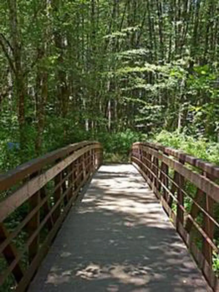
- The beautiful surroundings of Alsea Falls can be enjoyed by exploring the trails that wander through the area and lead to the picnic grounds and beyond. On a warm day, Alsea Falls Recreation Site offers cool relief along the river.
- During the winter months, the South Fork of the Alsea River provides excellent salmon and steelhead fishing. Be sure to check with the Oregon Department of Fish and Wildlife for current fishing regulations.
Nearby
- The Fall Creek Day-Use Trailhead offers over 12 miles of mountain bike specific trails. Hikers can use these trails as well.
- Green Peak Falls with a drop of 45 feet is accessed by road or trail through the private campground of McBee Park. Follow the markers along the trail and road.
- Alsea Trout Hatchery is north of the town of Alsea.
Guidebooks for Oregon
We earn a small commission if you buy through these links. It does not change what we list.

Titles come from Open Library's catalog, matched by subject heading or by title.
Reference
Questions people ask
Do I need a reservation at Alsea Falls Recreation Site (Campground)?
Sites at Alsea Falls Recreation Site (Campground) are reservable on Recreation.gov. Any walk-up sites are listed on the booking page.
Source: Recreation.gov
How much does it cost to camp at Alsea Falls Recreation Site (Campground)?
Northwest Oregon District Recreation Site Business Plan. The $15, $20, and $40 campsite fee includes one vehicle per site. Extra camping vehicle fee of $5 each is collected at the site.
Source: Recreation.gov
What time is check-in at Alsea Falls Recreation Site (Campground)?
Check-in 2:00 PM, checkout 1:00 PM.
Source: Recreation.gov
How many sites does Alsea Falls Recreation Site (Campground) have?
38 sites, including 16 standard sites without power and 5 walk-in sites.
Source: Recreation.gov
Will my RV fit at Alsea Falls Recreation Site (Campground)?
The longest site here provides 32 feet of vehicle capacity. Most sites are shorter. The sidebar tool checks a trailer or motorhome length against every site.
Source: Will my RV fit
Are pets allowed at Alsea Falls Recreation Site (Campground)?
Yes, pets are allowed at Alsea Falls Recreation Site (Campground). Leash rules apply.
Source: Recreation.gov
Can I have a campfire at Alsea Falls Recreation Site (Campground)?
Fires are allowed in the provided rings under normal conditions. As of 2026-10-16, there is 1 active fire within 50 miles, so check current restrictions before you light one.
Source: Fire nearby
Are there accessible sites at Alsea Falls Recreation Site (Campground)?
Sites 05, 07, 08, and 10 are listed accessible on Recreation.gov, 8 sites in all. What that covers (a paved pad, an accessible table, a nearby accessible restroom) is on each site's booking page.
Source: Recreation.gov
What is there to do at Alsea Falls Recreation Site (Campground)?
The beautiful surroundings of Alsea Falls can be enjoyed by exploring the trails that wander through the area and lead to the picnic grounds and beyond. On a warm day, Alsea Falls Recreation Site offers cool relief along the river. The Recreation section on this page has the rest.
Source: Recreation
What is the nearest town to Alsea Falls Recreation Site (Campground)?
Alsea, Oregon. The Fall Creek Day-Use Trailhead offers over 12 miles of mountain bike specific trails. Hikers can use these trails as well.
Source: Getting there
What if Alsea Falls Recreation Site (Campground) is full?
The nearest public campgrounds are Marys Peak Campground (13.5 mi, first-come), River Edge (13.9 mi), and Richardson Campground (16.3 mi, first-come).
Source: Campgrounds nearby