River Edge
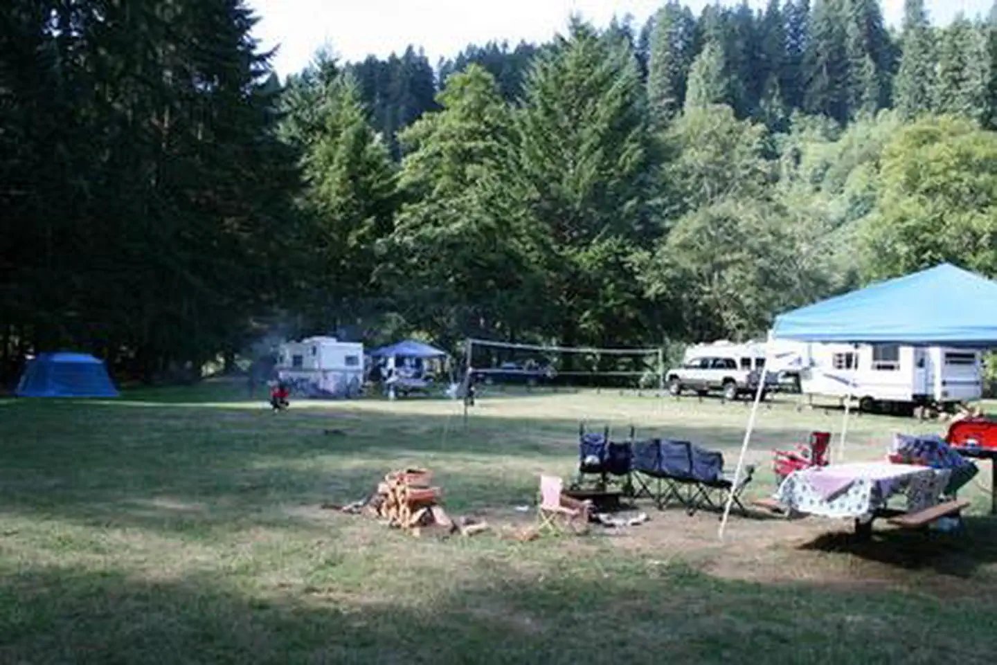
River Edge is a group campground nestled on the banks of the Alsea River, surrounded by large Sitka spruce, Douglas fir, alder trees and blackberries. Groups of families and friends enjoy the area for its great fishing opportunities, as well as its scenic beauty.
More like this: reservable in Oregon · big rigs in Oregon · group sites in Oregon
Check availability on Recreation.gov ↗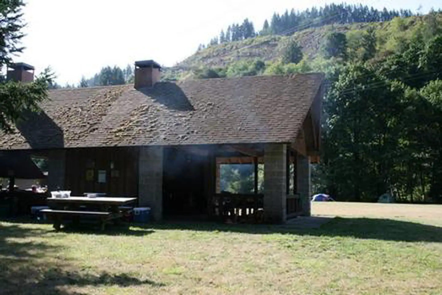
Site mix
| Group sites | 1 |
Site guide
Will my RV fit
The longest site here provides 40 feet of vehicle capacity. Most sites are shorter.
1 site. Tap a filter to narrow the list; the map follows.
| Site | Entry | Fits, ft | Surface | Shade | People / vehicles | Accessible |
|---|---|---|---|---|---|---|
| GROUP | Pull-through | 40 | Paved | Partial | 100 / 15 | Yes |
Per-site records as published by the managing agency on Recreation.gov. Blank cells mean the agency listed nothing for that site. Check-in 2:00 PM, checkout 11:00 AM.
Amenities & rules
| Hookups | None |
| Max vehicle length | 40 ft |
| Equipment | RVs & trailers, Tents |
| Accessibility | Site GROUP is listed accessible |
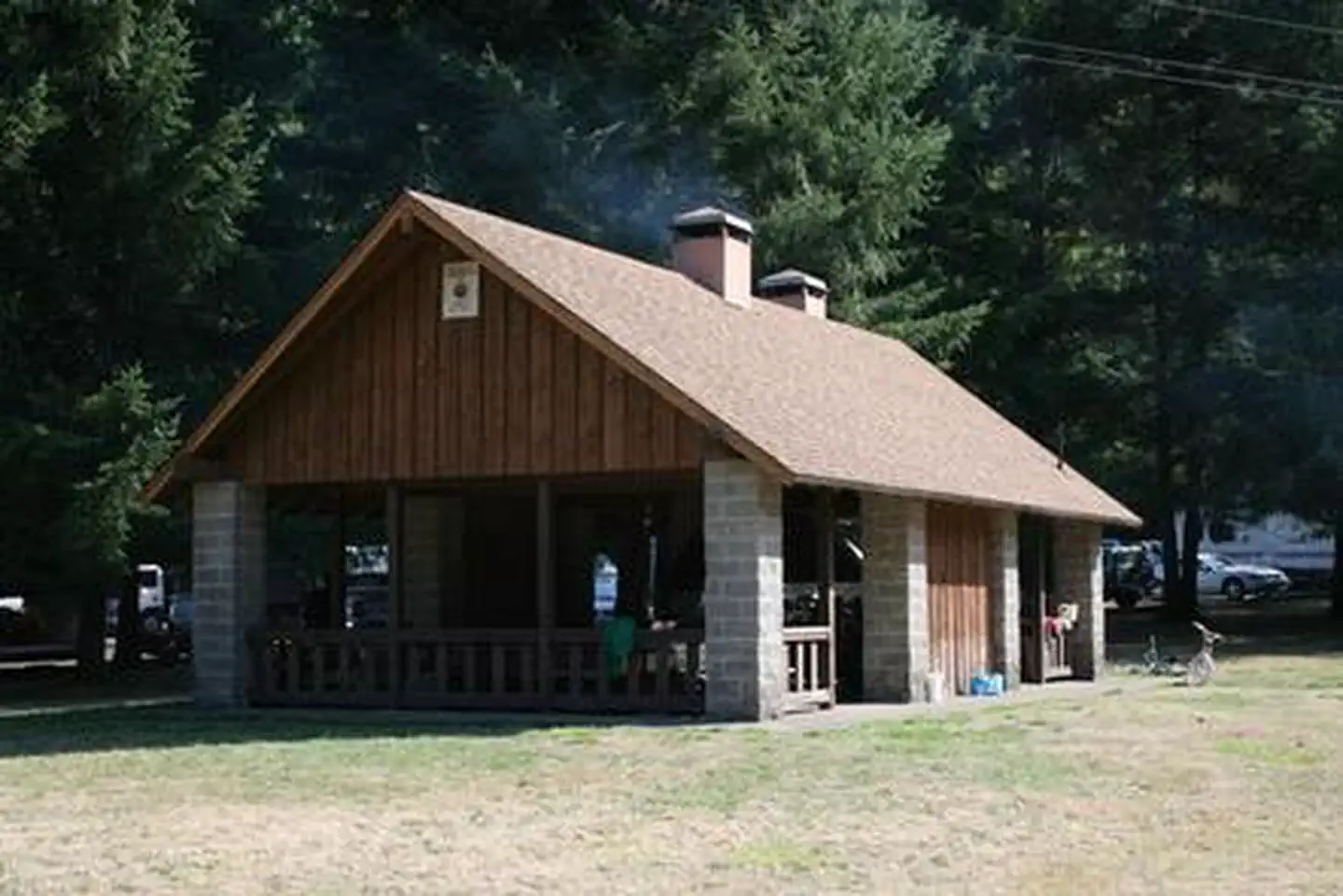
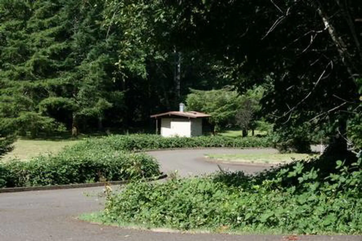
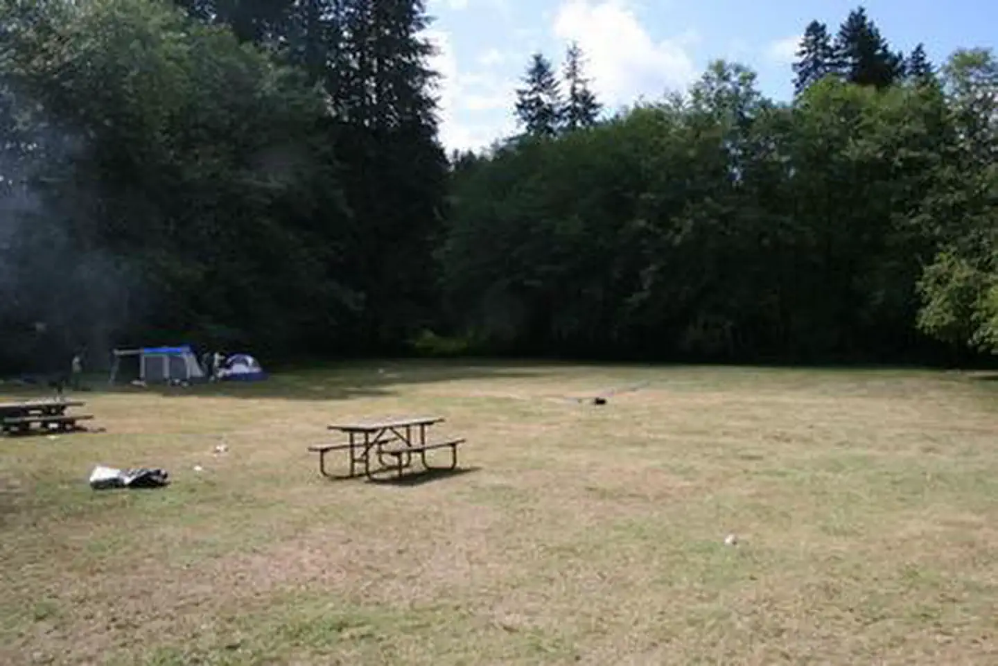
The accessible group campground accommodates 100 guests. A large shelter covers several picnic tables. A campfire ring and grills are located under the shelter, and an additional campfire ring is outside the shelter. Drinking water, electricity and four vault toilets are provided. Firewood may be purchased onsite.
Individual sites vary. Confirm on Recreation.gov or with the managing office.
Season & status
| Status | Closed for the season. Forest Service sites close for the season; check the official page for the reopening date. |
| Season | May to September |
| Forest | Siuslaw National Forest |
| Booking | Reserve online at www.recreation.gov or phone 1.877.444.6777. |
| Fees | $270/Night for 1-100 people 20 vehicle maximum. All prices are subject to local taxes. |
| Rules | Camping Regulations Metal detection policy |
Weather by month
Getting there
From Waldport, head east on Highway 34 for about 26 miles and look for campground signs on the right.
| Nearest town | Alsea, Oregon |
| Coordinates | 44.3772° N, 123.7586° W · Directions ↗ |
Fire nearby
- PrescribedMarys Peak Rx
14 mi from the campground
Distance is to the reported incident point, not the fire edge. Call the managing office before you drive.
Supplies & services
| Dump station | Dump station ↗ | 21.6 mi |
| Outdoor gear | Feed Coral ↗ | 23.3 mi |
| RV sales & service | RV sales & service ↗ | 29.7 mi |
Locations © OpenStreetMap contributors. Call ahead; hours change seasonally.
Explore
Worth a stop
Sandy beaches stretch north and south of Waldport, about 25 minutes from the campground. Beautiful Cape Perpetua Scenic Area, where whale watching is a popular activity, is another 15 minutes south of Waldport. Mary's Peak is the highest point in Oregon's Coast Range and has been designated a Scenic Botanical Area because of its rich, unique scenery and plants.
- 7.2 miHorse Creek South Trailhead ↗Trailhead
Public land it sits in
This campground sits inside Siuslaw National Forest.
- inSiuslaw National Forest ↗National Forest · Forest Service · 835,600 acres
- 8.7 miDrift Creek Wilderness ↗Wilderness · Forest Service · 5,792 acres
- 14.6 miCummins Creek Wilderness ↗Wilderness · Forest Service · 9,026 acres
Each unit is published as a centre point and an acreage rather than a boundary, so this section stands it in for a circle of the same area. Whether a campground is inside, and how far it is from one it is outside, are both approximate.
Other campgrounds nearby


On the National Register nearby
- Hayden BridgeStructure · Alsea · 6.3 mi
- Fisher School BridgeStructure · Fisher · 7.1 mi
- North Fork of the Yachats BridgeStructure · Yachats · 11.4 mi
Natural features
River Edge is located in the eastern part of the Siuslaw National Forest, which encompasses over 630,000 acres as it stretches from the lush forests of the coastal mountains to the Oregon Dunes and Pacific Coast. The Alsea River flows 48.5 miles from the town of Alsea out to the Pacific Coast at Waldport and Alsea Bay.
Recreation
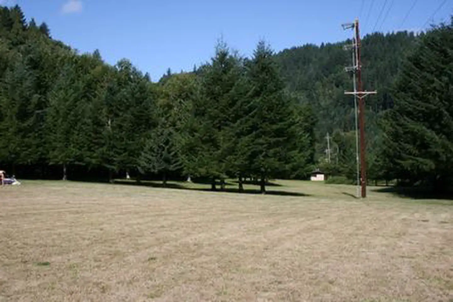
The campground's open play field is ideal for games like Frisbee and soccer, so campers are encouraged to bring sports equipment to make use of the space. The river beckons visitors for canoeing and swimming. Anglers cast for Coho and Chinook salmon and Steelhead trout.
Guidebooks for Oregon
We earn a small commission if you buy through these links. It does not change what we list.

Titles come from Open Library's catalog, matched by subject heading or by title.
Reference
Questions people ask
Do I need a reservation at River Edge?
Sites at River Edge are reservable on Recreation.gov. Reserve online at www.recreation.gov or phone 1.877.444.6777. Any walk-up sites are listed on the booking page.
Source: Recreation.gov
How much does it cost to camp at River Edge?
$270/Night for 1-100 people 20 vehicle maximum. All prices are subject to local taxes.
Source: Recreation.gov
What time is check-in at River Edge?
Check-in 2:00 PM, checkout 11:00 AM.
Source: Recreation.gov
Is River Edge open right now?
Closed for the season as of Oct 16, 2026. Season May to September.
Source: Forest Service status
How many sites does River Edge have?
1 site, including 1 group site.
Source: Recreation.gov
Will my RV fit at River Edge?
The longest site here provides 40 feet of vehicle capacity. Most sites are shorter. The sidebar tool checks a trailer or motorhome length against every site.
Source: Will my RV fit
Are there accessible sites at River Edge?
Site GROUP is listed accessible on Recreation.gov. What that covers (a paved pad, an accessible table, a nearby accessible restroom) is on each site's booking page.
Source: Recreation.gov
What is there to do at River Edge?
The campground's open play field is ideal for games like Frisbee and soccer, so campers are encouraged to bring sports equipment to make use of the space. The Recreation section on this page has the rest.
Source: Recreation
What is the nearest town to River Edge?
Alsea, Oregon. Sandy beaches stretch north and south of Waldport, about 25 minutes from the campground.
Source: Getting there
What if River Edge is full?
The nearest public campgrounds are Blackberry (3.8 mi), Canal Creek (8.3 mi, partly first-come), and Big Elk Campground (11.7 mi, first-come).
Source: Campgrounds nearby