Olive Lake Campground
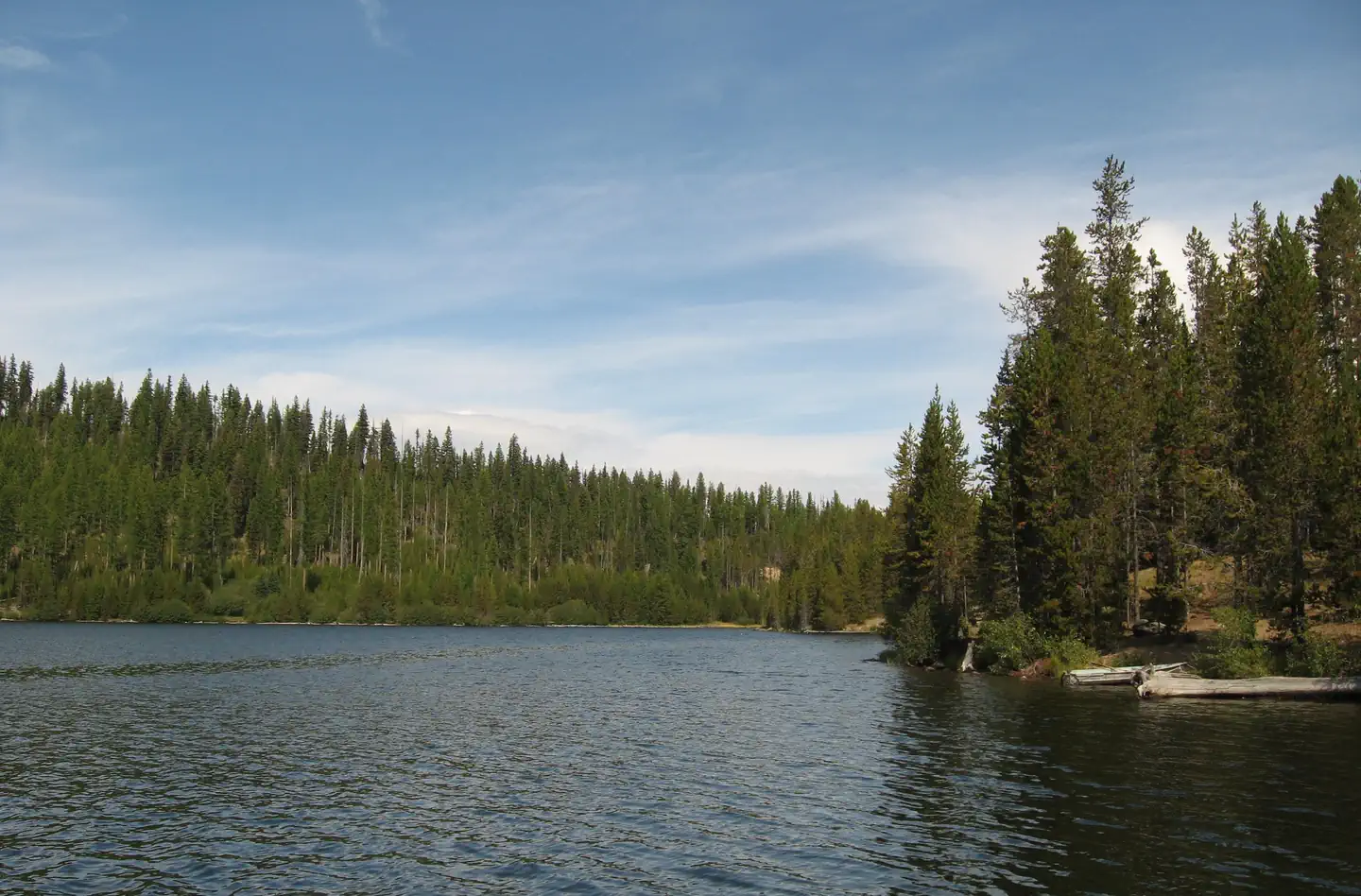
Nestled on the edge of a lake, high in the Blue Mountains of Eastern Oregon, this popular campground is only 8 miles west of the historic Fremont Powerhouse and 12 miles west of the old mining town of Granite. The campground features 28 campsites and 7 accessible toilet facilities. Other features include a 2-mile hiking trail around the lake with nearby access to wilderness and scenic area trails, a boat ramp and 2 docks. Besides beautiful scenery, the lake offers many opportunities for wildlife viewing--particularly a nesting pair of osprey that return annually. Activities in this area include fishing, boating, swimming, hiking, hunting, and photography.
Some sites take reservations on Recreation.gov. Others are first-come, first-served.
More like this: first-come in Oregon · reservable in Oregon · pets allowed in Oregon · group sites in Oregon
Check availability on Recreation.gov ↗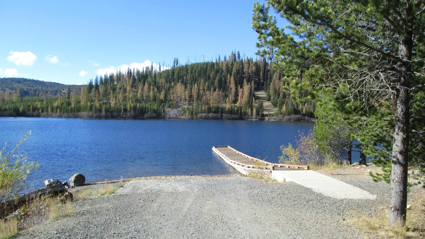

Site mix
| Standard, no hookups | 20 |
| Tent-only | 6 |
| Group sites | 2 |
Site guide
Will my RV fit
The longest site here provides 40 feet of vehicle capacity. Most sites are shorter.
28 sites. Tap a filter to narrow the list; the map follows.
| Site | Type | Entry | Fits, ft | Surface | Shade | Water / sewer | People / vehicles | Fires | Accessible |
|---|---|---|---|---|---|---|---|---|---|
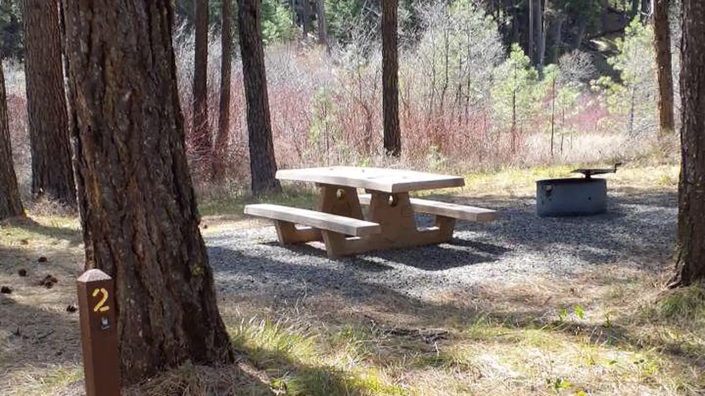
| 1 | Tent only | Partial | No / – | 8 / 2 | Yes | ||||
| 2 | Tent only | Partial | No / – | 8 / 2 | Yes | ||||
| 3 | Tent only | Partial | No / – | 8 / 2 | Yes | ||||
| 4 | Standard | Back-in | 40 | Gravel | Partial | No / – | 8 / 2 | Yes | |
| 5 | Standard | Back-in | 40 | Gravel | Partial | No / – | 8 / 2 | Yes | |
| 6 | Standard | 25 | Gravel | Partial | No / – | 8 / 2 | Yes | ||
| 7 | Standard | 25 | Gravel | Partial | No / – | 8 / 2 | Yes | ||
| 8 | Standard | 40 | Gravel | Partial | No / – | 8 / 2 | Yes | ||
| 9 | Standard | Back-in | 40 | Gravel | Partial | No / – | 8 / 2 | Yes | Yes |
| 10 | Standard | Back-in | 40 | Gravel | Partial | No / – | 8 / 2 | Yes | Yes |
Per-site records as published by the managing agency on Recreation.gov. Blank cells mean the agency listed nothing for that site. Check-in 2:00 PM, checkout 12:00 PM.
Amenities & rules
| Hookups | None |
| Equipment | RVs & trailers, Tents |
| Pets | Allowed |
| Campfires | Allowed, subject to restrictions |
| Accessibility | Sites 9, 10, 11, 12 and 3 more are listed accessible |
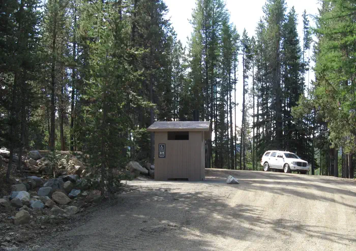
The campground features 20 tent/RV campsites, 2 group sites, 6 tent only sites and 7 accessible toilet facilities. Other features include a 2-mile hiking trail around the lake with nearby access to wilderness and scenic area trails, a boat ramp and 2 docks, and an interpretive sign. There is no potable water. Potable water can be obtained from Fremont Powerhouse, 7 miles east of the campground from May 15-Sept 30.
Individual sites vary. Confirm on Recreation.gov or with the managing office.
Season & status
| Status | Open |
| Season | June to November |
| Forest | Umatilla National Forest |
| Booking | Reservations available on recreation.gov or by calling 1-877-444-6777. |
| Fees | Single site: $12/night (extra $5 per each vehicle exceeding the 2-vehicle-per-site limit. Group site: Sites 13 and 27 are $25/night (no extra vehicle charge). An $8 reservation fee will to added to sites reserved through recreation.gov |
Weather by month
Getting there
From Ukiah, OR travel south to County Road 1475 (turns into Forest Service Road 52 after 5 miles). Go about 48.5 mile to the town of Granite. Instead of entering the town, turn right onto County Road 24/Forest Service Road (FSR) 10 and travel about 3.5 miles to the end of the pavement. Follow the gravel road up to the right (FSR 10).
| Nearest town | Ukiah, Oregon |
| Coordinates | 44.7834° N, 118.5952° W · Directions ↗ |
Fire nearby
- WildfireMccully
16 mi from the campground · 13,604 acres · 91% contained
- PrescribedGreenwood Rx
24 mi from the campground · 38 acres
- PrescribedBirdtrack 621 Broadcast Rx
40 mi from the campground · 377 acres
- PrescribedBird Track 610/607A Rx
42 mi from the campground · 141 acres
Distance is to the reported incident point, not the fire edge. Call the managing office before you drive.
Supplies & services
| Dump station | Dump station ↗ | 35.1 mi |
Locations © OpenStreetMap contributors. Call ahead; hours change seasonally.
Explore
Video
Video of Olive Lake Campground (Or) — Umatilla National Forest, OR from Kaitlyn P.
Worth a stop
The area around Olive Lake is rich in history. The dam and gates on the north side of the lake were constructed as part of a hydroelectric system to support gold mining activities within the northern Blue Mountain Region. Historically, water from the lake flowed through a wooden pipeline to the Fremont Powerhouse, where it was used to produce electricity for mines and towns in the area. Fremont Powerhouse is located approximately 7 miles east and the historic moning town of Granite is 12 miles east of Olive Lake along Forest Road 73.
- 0.9 miLost Creek Trailhead ↗Trailhead
- 3.5 miLost Lake Trailhead ↗Trailhead
Trails nearby
- 4.1 miSunrise Butte4.4 mi trail
- 4.6 miBig Boulder1.9 mi trail
- 4.6 miPrincess ↗8.5 mi trail
- 4.8 miIndian Rock3.2 mi trail
Trailheads within three miles
- 0.9 miLost Creek Trailhead ↗Umatilla National Forest · Season Late May
Trail and trailhead records are the Forest Service's. Distances are straight-line to the nearer trail end. Trail conditions are not tracked here.
Public land it sits in
North Fork John Day Wilderness begins about 0.8 miles away, and it is the closest of these.
- 0.8 miNorth Fork John Day Wilderness ↗Wilderness · Forest Service · 120,694 acres
- 10.2 miMalheur National Forest ↗National Forest · Forest Service · 1,787,138 acres
- 14.6 miUmatilla National Forest ↗National Forest · Forest Service · 1,498,100 acres
Each unit is published as a centre point and an acreage rather than a boundary, so this section stands it in for a circle of the same area. Whether a campground is inside, and how far it is from one it is outside, are both approximate.
Other campgrounds nearby

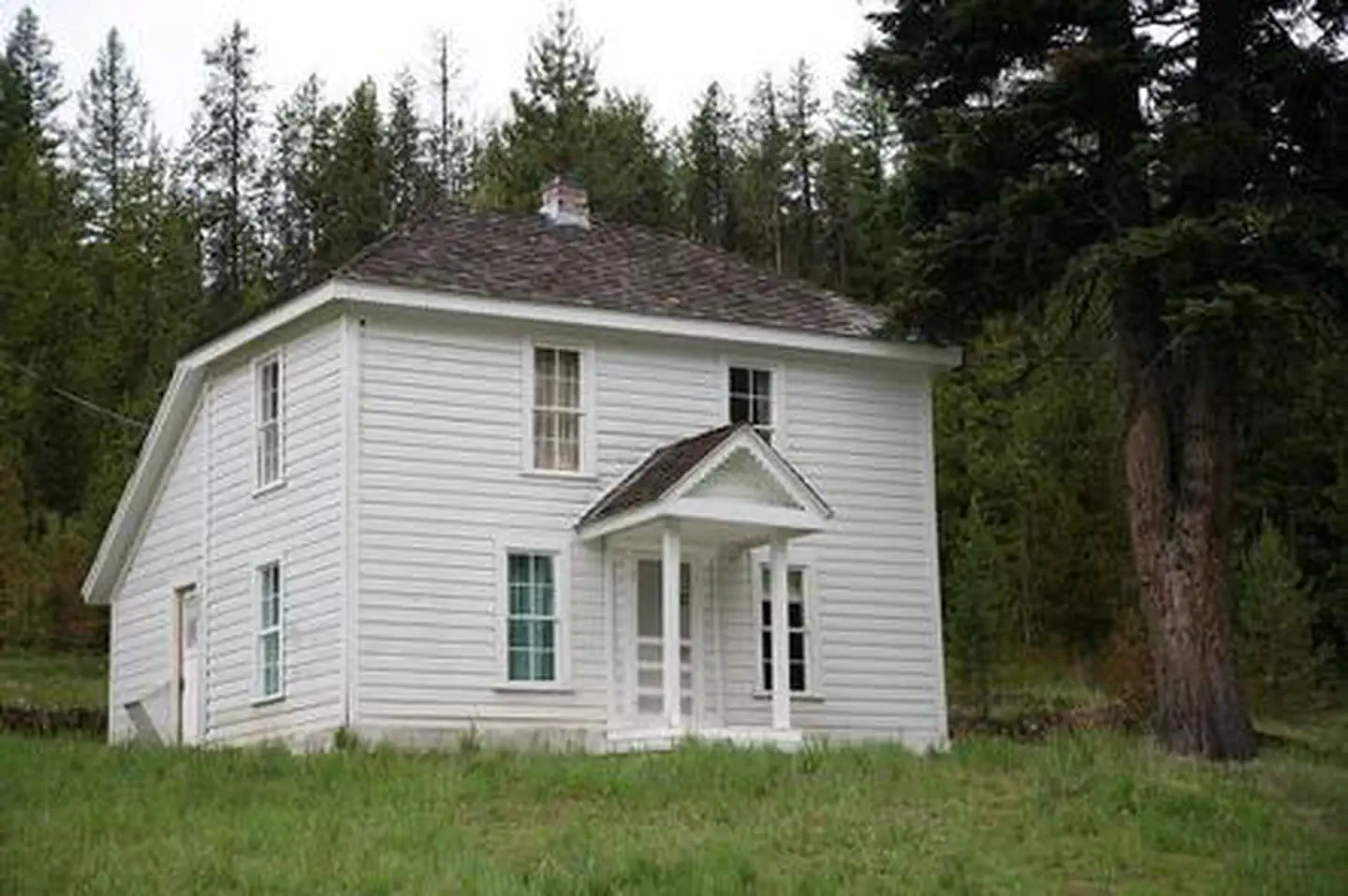
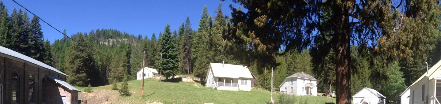
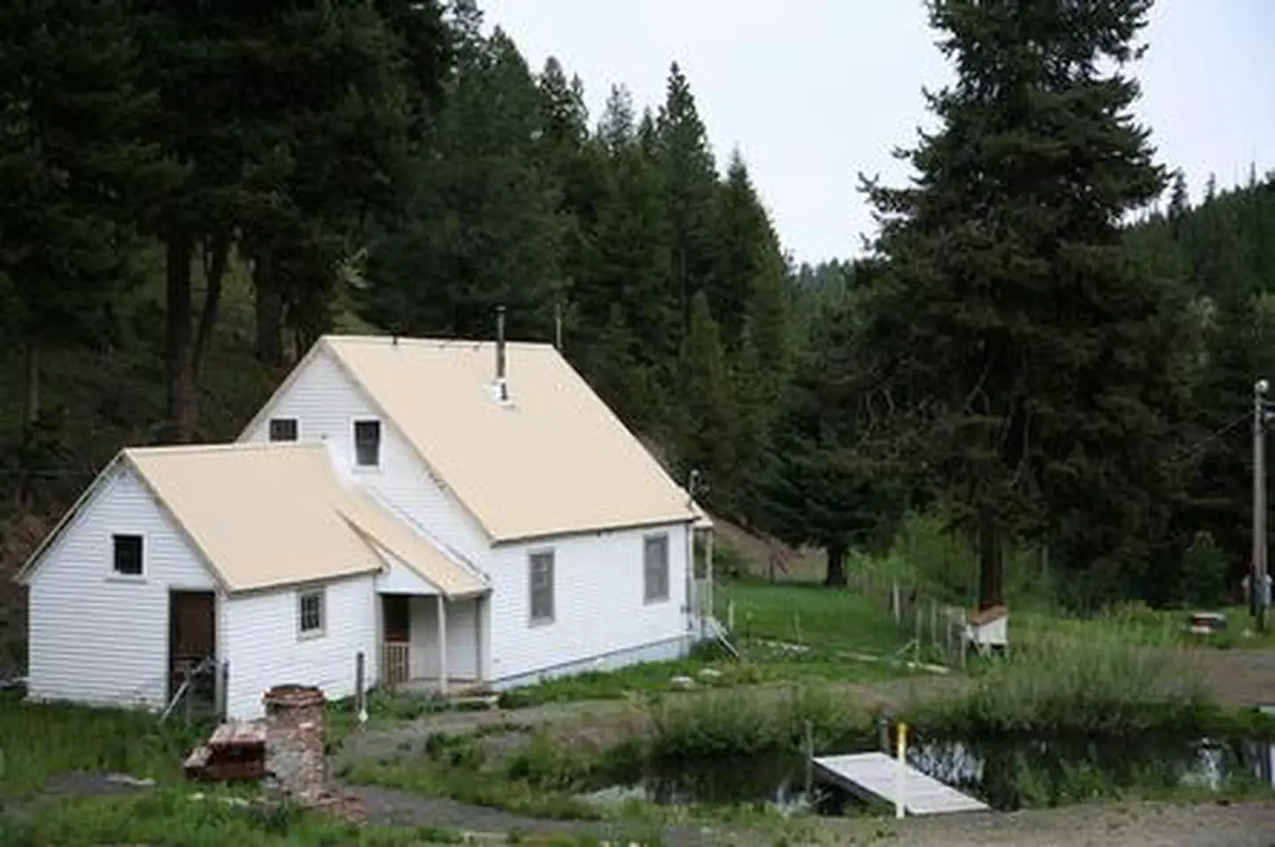
Cabin and lookout rentals nearby
Recreation
A 2-mile hiking trail encircles the lake, providing access to more secluded spots where solitude can be enjoyed. Bicyclists can also enjoy the trail although there are a couple of spots bikes might need to be walked, depending on skill level. Anglers can fish for rainbow trout, cutthroat trout, brook trout, and kokanee and crawfish boils are a popular dinner option. There are 2 boat docks adjacent to the campground, as well as a boat ramp and trailer parking. Motorized boats are allowed on the lake, but wakes and jet skis are not allowed. There are opportunities for viewing wildlife such as deer, elk, bear, river otters, and osprey. Mushroom and berry picking are available in season. Other nearby trails access the North John Day Wilderness Area and Vinegar Hill Scenic Area. An interpretive sign about the beetle infestation is located in a few spots within the campground.
Guidebooks for Oregon
We earn a small commission if you buy through these links. It does not change what we list.

Titles come from Open Library's catalog, matched by subject heading or by title.
Reference
Questions people ask
Do I need a reservation at Olive Lake Campground?
For some sites. Some sites take reservations on Recreation.gov. Others are first-come, first-served.
Source: Recreation.gov
How much does it cost to camp at Olive Lake Campground?
Single site: $12/night (extra $5 per each vehicle exceeding the 2-vehicle-per-site limit. Group site: Sites 13 and 27 are $25/night (no extra vehicle charge). An $8 reservation fee will to added to sites reserved through recreation.gov
Source: Recreation.gov
What time is check-in at Olive Lake Campground?
Check-in 2:00 PM, checkout 12:00 PM.
Source: Recreation.gov
Is Olive Lake Campground open right now?
Open as of Oct 16, 2026. Season June to November.
Source: Forest Service status
How many sites does Olive Lake Campground have?
28 sites, including 20 standard sites without power, 6 tent-only sites, and 2 group sites.
Source: Recreation.gov
Can I bring an RV to Olive Lake Campground?
Olive Lake Campground is listed for tents only.
Source: Recreation.gov
Are pets allowed at Olive Lake Campground?
Yes, pets are allowed at Olive Lake Campground. Leash rules apply.
Source: Recreation.gov
Can I have a campfire at Olive Lake Campground?
Fires are allowed in the provided rings under normal conditions. As of 2026-10-16, there are 4 active fires within 50 miles, so check current restrictions before you light one.
Source: Fire nearby
Are there accessible sites at Olive Lake Campground?
Sites 9, 10, 11, and 12 are listed accessible on Recreation.gov, 7 sites in all. What that covers (a paved pad, an accessible table, a nearby accessible restroom) is on each site's booking page.
Source: Recreation.gov
What is there to do at Olive Lake Campground?
A 2-mile hiking trail encircles the lake, providing access to more secluded spots where solitude can be enjoyed. The Recreation section on this page has the rest.
Source: Recreation
What is the nearest town to Olive Lake Campground?
Ukiah, Oregon. The area around Olive Lake is rich in history.
Source: Getting there
What if Olive Lake Campground is full?
The nearest public campgrounds are Miners Retreat (4.8 mi), Head O' Boulder Forest Camp (5.2 mi, first-come), and Middle Fork Campground (10.6 mi).
Source: Campgrounds nearby