Congo Gulch
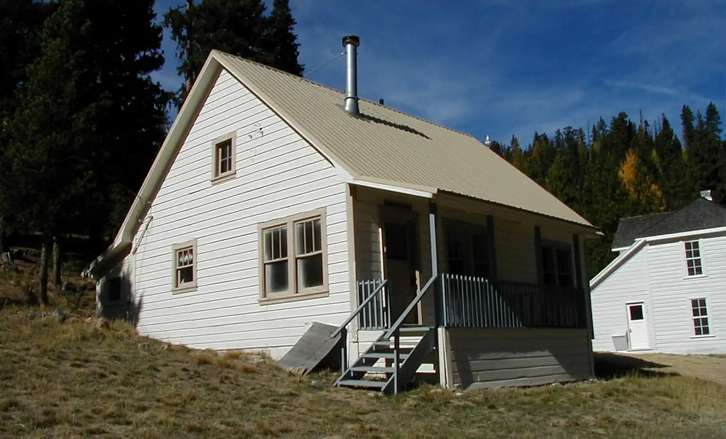
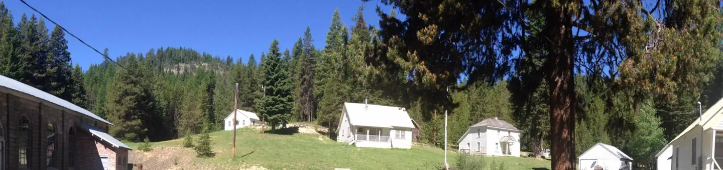
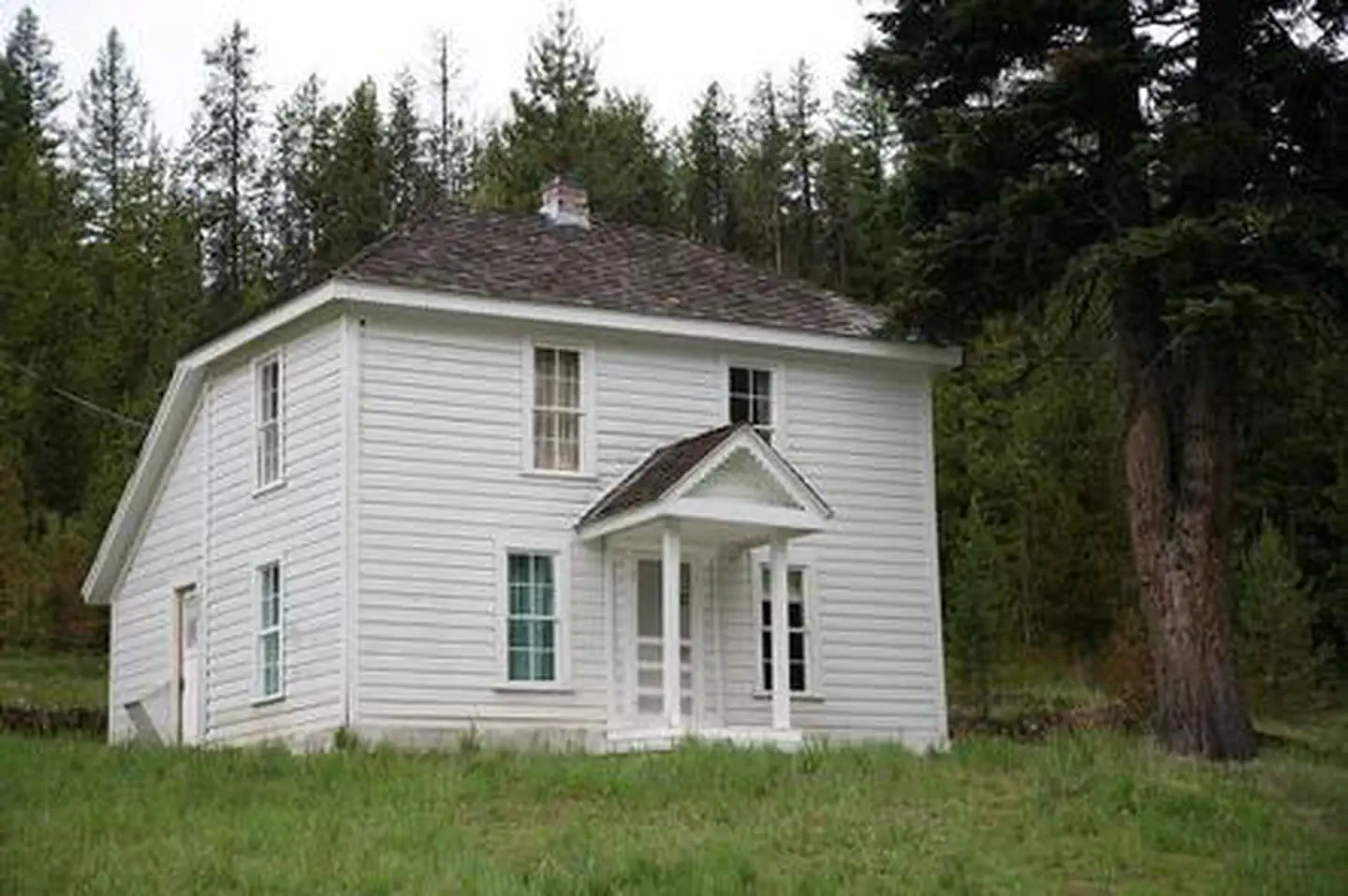
Congo Gulch is an old Forest Service cabin that allows guests to relax in the outdoors and step back in time to when the cabin was used during bygone gold mining days. It is part of the Fremont Powerhouse complex, a hub for mining built in the early 1900s. As one of four cabins located at the site, the cabin offers flexibility for large groups. Guests can rent all cabins and also pitch tents in the grassy yard. The surrounding valleys once teemed with mining activity, primarily gold. The Fremont Powerhouse was built in 1908 as an economical method for mining.
Check availability on Recreation.gov ↗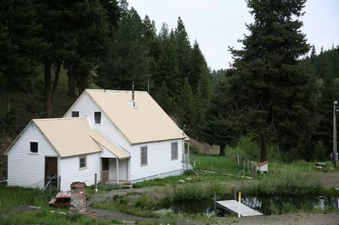
Site mix
| Cabins with electric | 1 |
Site guide
1 site. Tap a filter to narrow the list; the map follows.
| Site | Surface | Shade | People / vehicles | Fires |
|---|---|---|---|---|
| 001 | Gravel | Partial | 12 / 4 | Yes |
Per-site records as published by the managing agency on Recreation.gov. Blank cells mean the agency listed nothing for that site. Check-in 2:00 PM, checkout 12:00 PM.
Amenities & rules
| Pets | Allowed |
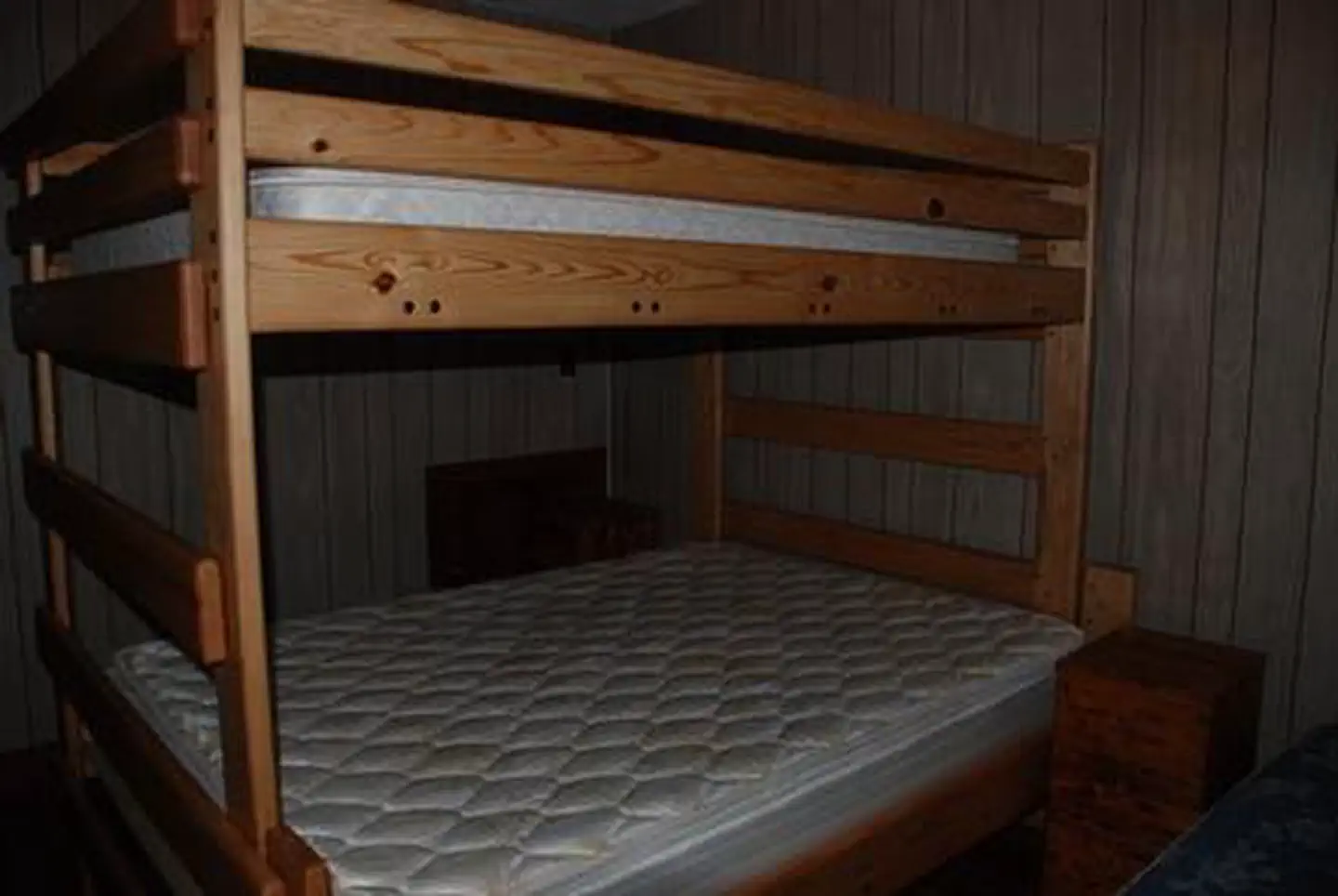
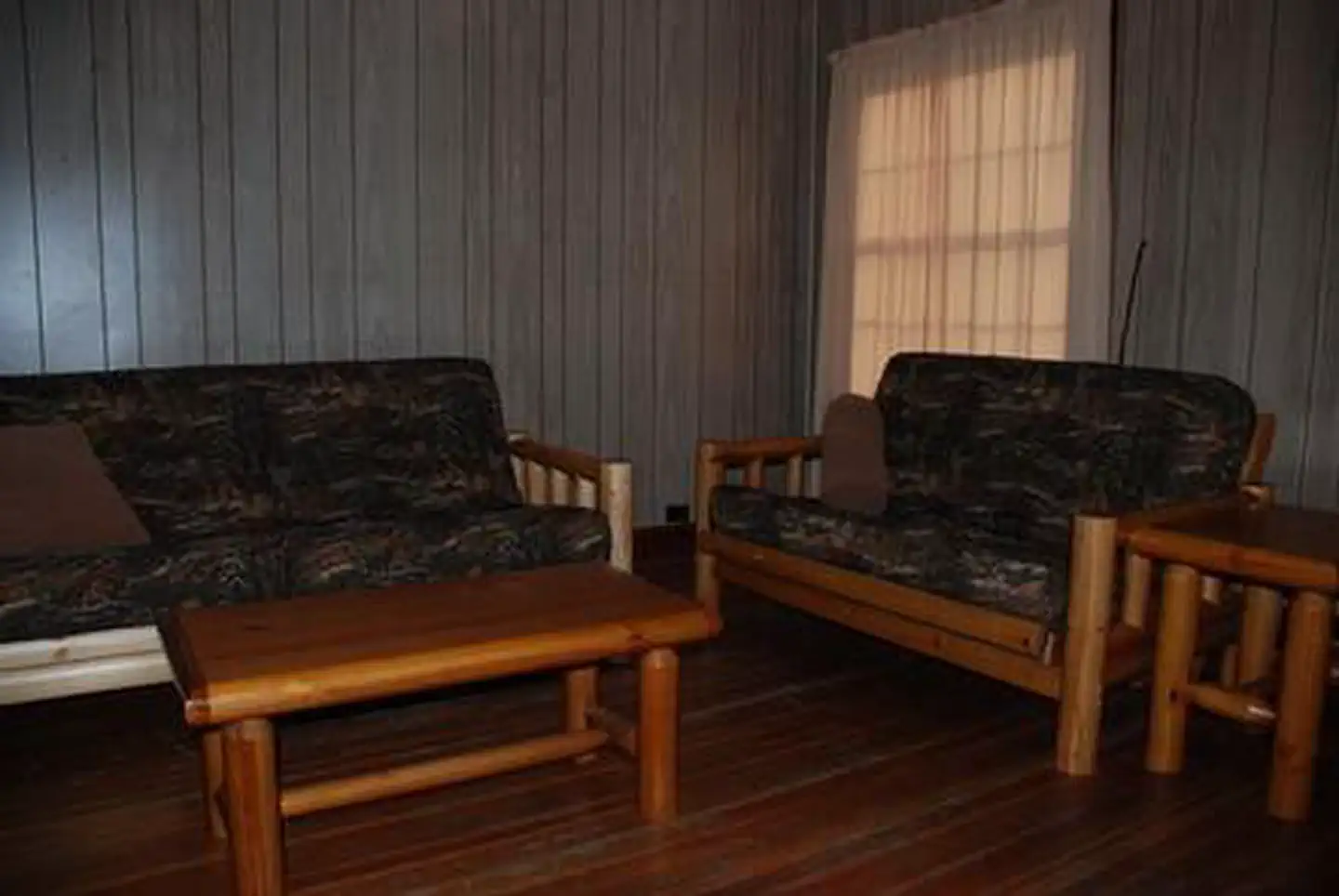
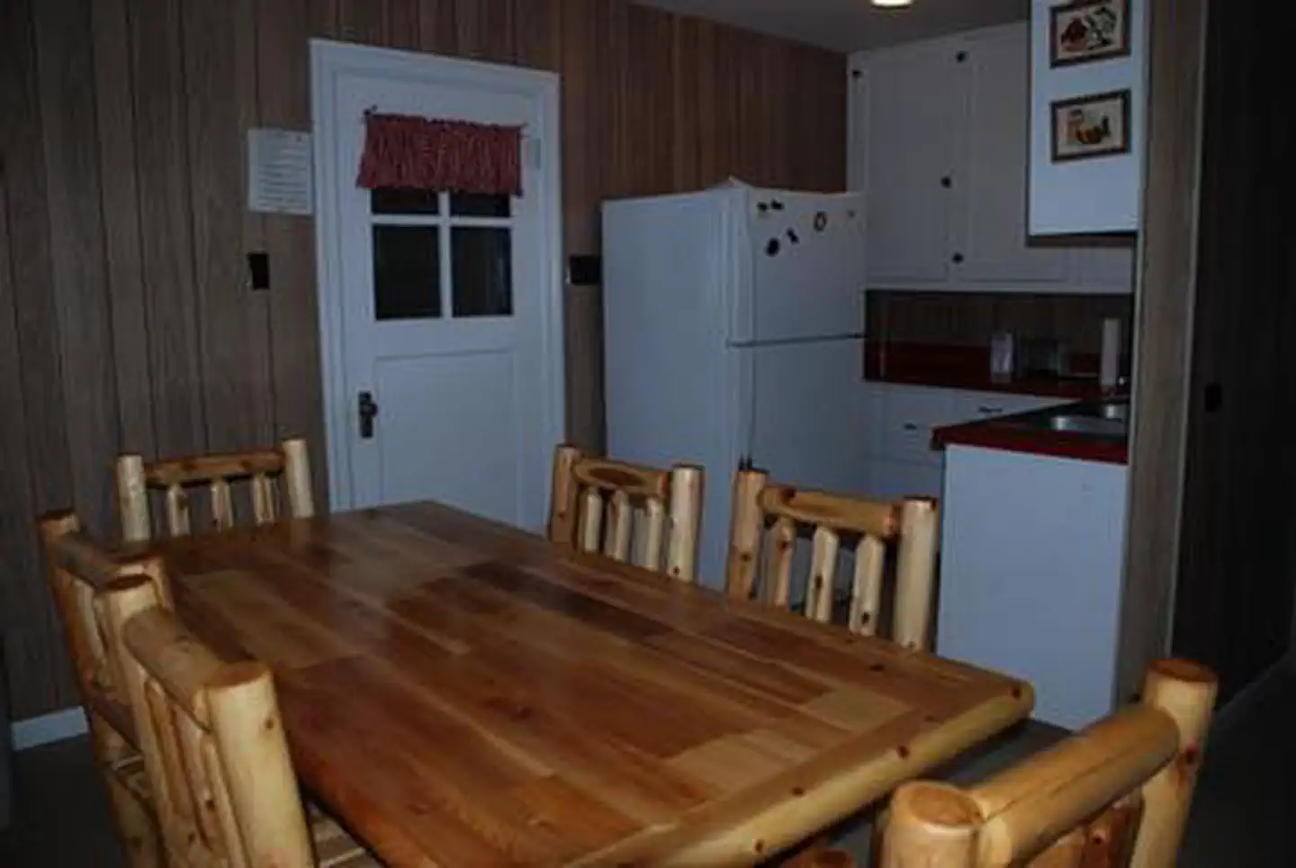
The two-story white cabin with wood siding and a metal roof can accommodate up to 12 guests. It features: · two bedrooms upstairs with dressers, a queen bed, 3 twins, and a full-over-queen bunkbed; · one bedroom downstairs with a dresser and full-over-queen bunkbed; · parlor with dining table/chairs, 2 futons and end tables; · kitchen with refrigerator, electric stove/oven, microwave, coffee pot, toaster, cookware, dishes, and a second dining table with chairs; · full bath with shower/tub and flush toilet. The cabin has electric lights and an oil heating stove. A picnic table and brick fireplace are provided next to the pond (bring your own firewood). Cleaning supplies are also provided and renters are required to clean the house before they leave. Water is available June through September only. No water or indoor plumbing from October to May. Instead, an outhouse is available for use. In these seasons, guests are asked to bring plenty of water for drinking, cooking and washing. Other items to pack year-round include food, bedding, a first aid kit, flashlight, matches and all other basic camping gear.
Individual sites vary. Confirm on Recreation.gov or with the managing office.
Weather by month
Getting there
From Pendleton, Oregon: Travel south on Highway 395 for 50 miles to the Ukiah exit. Turn left on Highway 244 to Ukiah. Turn right (south) just before the city park; this road becomes Forest Service Road (FSR) 52 at the Forest boundary. Travel 50 miles to the small town of Granite. From Granite go west on County Road 24 for approximately 6 miles.
| Nearest town | Ukiah, Oregon |
| Coordinates | 44.7966° N, 118.4975° W · Directions ↗ |
Fire nearby
- WildfireMccully
11 mi from the campground · 13,604 acres · 91% contained
- PrescribedGreenwood Rx
25 mi from the campground · 38 acres
- PrescribedBirdtrack 621 Broadcast Rx
38 mi from the campground · 377 acres
- PrescribedBird Track 610/607A Rx
40 mi from the campground · 141 acres
Distance is to the reported incident point, not the fire edge. Call the managing office before you drive.
Supplies & services
| Dump station | Dump station ↗ | 39.2 mi |
Locations © OpenStreetMap contributors. Call ahead; hours change seasonally.
Explore
Worth a stop
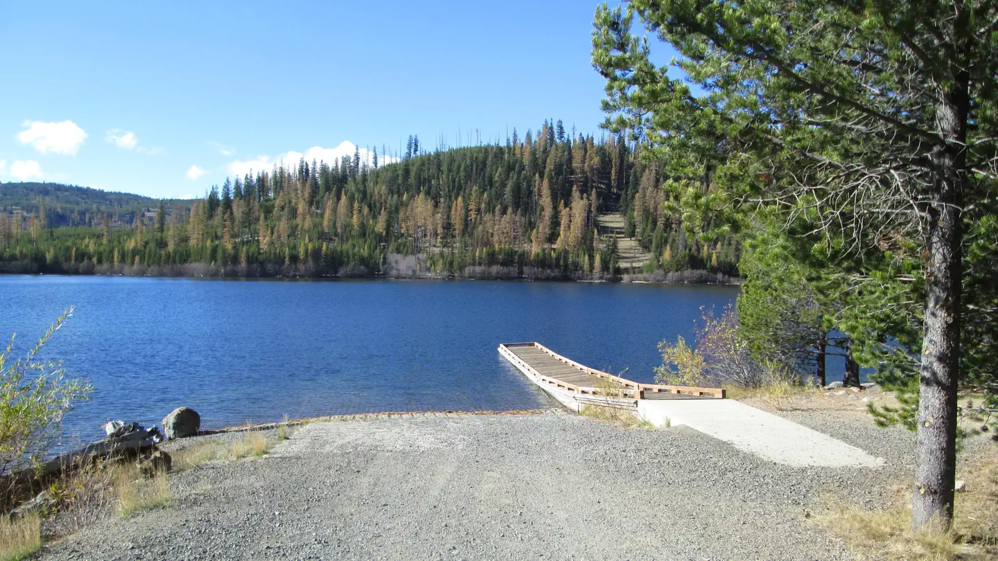
The cabin is located less than six miles from Granite, Oregon, a ghost town that once bustled with prospectors and pioneers. The town provides groceries and fuel. Opportunities for horseback riding and a boat ramp, boating, fishing, and swimming are located within ten miles from the cabin.
- 3.5 miGranite Creek Trailhead ↗Trailhead
- 4 miLost Creek Trailhead ↗Trailhead
Public land it sits in
This campground sits inside North Fork John Day Wilderness.
- inNorth Fork John Day Wilderness ↗Wilderness · Forest Service · 120,694 acres
- 11.2 miMalheur National Forest ↗National Forest · Forest Service · 1,787,138 acres
Each unit is published as a centre point and an acreage rather than a boundary, so this section stands it in for a circle of the same area. Whether a campground is inside, and how far it is from one it is outside, are both approximate.
Other campgrounds nearby

Cabin and lookout rentals nearby
On the National Register nearby
- Sumpter Valley Gold Dredge (dredge)Structure · Sumpter · 14.9 mi
- Superintendent's HouseBuilding · Sumpter · 14.9 mi
Natural features
The cabin sits at about 5,000 feet in elevation and is neatly tucked under a large Douglas-fir, next to a small pond. A grassy lawn in front spreads to the other three cabins in the area. The forest lies in the Blue Mountains and is home to Ponderosa pine lodgepole pine, larch, and Douglas fir. Birds in the area include the black-backed woodpecker, American kestrel and the boreal owl. Black bear, cougar, wolves, elk and deer are among the native land mammals.
Recreation
Guests can hike on North Fork John Day Wilderness Area trails or go mountain biking on forest roads. A drive along the Blue Mountain Scenic Byway is a treat, as are activities like huckleberry and mushroom picking, bird watching, wildlife viewing and photographing the vast landscape. Nearby Olive Lake offers boating, fishing and swimming.
Guidebooks for Oregon
We earn a small commission if you buy through these links. It does not change what we list.

Titles come from Open Library's catalog, matched by subject heading or by title.
Reference
Questions people ask
Do I need a reservation at Congo Gulch?
Sites at Congo Gulch are reservable on Recreation.gov. Any walk-up sites are listed on the booking page.
Source: Recreation.gov
What time is check-in at Congo Gulch?
Check-in 2:00 PM, checkout 12:00 PM.
Source: Recreation.gov
How many sites does Congo Gulch have?
1 site, including 1 cabin with power.
Source: Recreation.gov
Are there showers or a dump station at Congo Gulch?
It features: · two bedrooms upstairs with dressers, a queen bed, 3 twins, and a full-over-queen bunkbed; · one bedroom downstairs with a dresser and full-over-queen bunkbed; · parlor with dining table/chairs, 2 futons and end tables; · kitchen with refrigerator, electric stove/ov
Source: Recreation.gov
Are pets allowed at Congo Gulch?
Yes, pets are allowed at Congo Gulch. Leash rules apply.
Source: Recreation.gov
What is there to do at Congo Gulch?
Guests can hike on North Fork John Day Wilderness Area trails or go mountain biking on forest roads. The Recreation section on this page has the rest.
Source: Recreation
What is the nearest town to Congo Gulch?
Ukiah, Oregon. The cabin is located less than six miles from Granite, Oregon, a ghost town that once bustled with prospectors and pioneers.
Source: Getting there
What if Congo Gulch is full?
The nearest public campgrounds are Miners Retreat (under 0.1 mi), Olive Lake Campground (4.9 mi, partly first-come), and North Fork John Day Campground (9.4 mi, partly first-come).
Source: Campgrounds nearby