Lumsden Bridge Campground
Lumsden Bridge Campground is on a low elevation pine and oak forested site on the Tuolumne Wild & Scenic River, approximately one mile from South Fork Campground and two miles from Lumsden Campground, within the Tuolumne-Lumsden Recreation Area. Each site has a picnic table and a campfire pit with a grill. A vault toilet is available in the campground. Untreated water is available from river, if running. Treating water before drinking is recommended. Potential hazards include loose and falling rocks, flash floods, and debris flows.
More like this: first-come in California

Season & status
| Status | Temporarily closed |
| Forest | Stanislaus National Forest |
| Booking | For reservations, visit www.recreation.gov or call 1 (877) 444-6777; TDD: 1877-833-6777. |
| Fees | $25 Open Season: May - September |
| Rules | Not recommended for trailers or RVs. Camp in designated sites only. The number of people allowed in a single campsite is 6. The maximum length of stay in any campground is 14 days. Campfire permits are not required in developed campgrounds. Do not burn plastic or metal. Please leave the area in as good (or better) condition than you found it. |
Weather by month
Getting there
From Groveland travel approximately 7.5 miles east to Ferretti Road. Turn left (north) onto Ferretti Road. Travel 1 mile and turn right (east) onto Lumsden Road/Forest Route 1N01 off of Ferretti Road. Travel approximately 6.5 miles to Lumsden Bridge. The campground entrance is located on the north side of the bridge.
| Coordinates | 37.8485° N, 120.0303° W · Directions ↗ |
Fire nearby
- WildfireDome
30 mi from the campground · 6,788 acres · 95% contained
Distance is to the reported incident point, not the fire edge. Call the managing office before you drive.
Supplies & services
| Dump station | Dump station ↗ | 9.1 mi |
| Outdoor gear | Mountain Shop & Mountaineering School ↗ | 26.2 mi |
| RV sales & service | Denis RV Center ↗ | 51.5 mi |
Locations © OpenStreetMap contributors. Call ahead; hours change seasonally.
Explore
Worth a stop
- 2 miRainbow Pool Day Use Area ↗Day use
- 9 miMiddle Fork Day Use Area ↗Day use
- 9.1 miBig Oak Flat Information Station ↗Visitor center
Trails nearby
- 0.1 miGolden Stairs1.9 mi trail · hiking, horse, bike
- 1.1 miGolden Stairs to Cherry Oil Rd1.1 mi trail · hiking, horse, bike
- 1.8 miAndresen Mine ↗4.9 mi trail · hiking, horse, bike
- 1.9 miTuolumne Canyon ↗5.2 mi trail · hiking, horse, bike
- 2 miRailroad, South Fork Tuolumne1.6 mi trail · hiking, horse, bike
- 2.5 miPilot Ridge0.4 mi trail · hiking, horse, bike
Trail and trailhead records are the Forest Service's. Distances are straight-line to the nearer trail end. Trail conditions are not tracked here.
Public land it sits in
This campground sits inside Stanislaus National Forest.
- inStanislaus National Forest ↗National Forest · Forest Service · 1,090,354 acres
- 7.6 miYosemite Wilderness ↗Wilderness · National Park Service · 704,624 acres
Each unit is published as a centre point and an acreage rather than a boundary, so this section stands it in for a circle of the same area. Whether a campground is inside, and how far it is from one it is outside, are both approximate.
Other campgrounds nearby

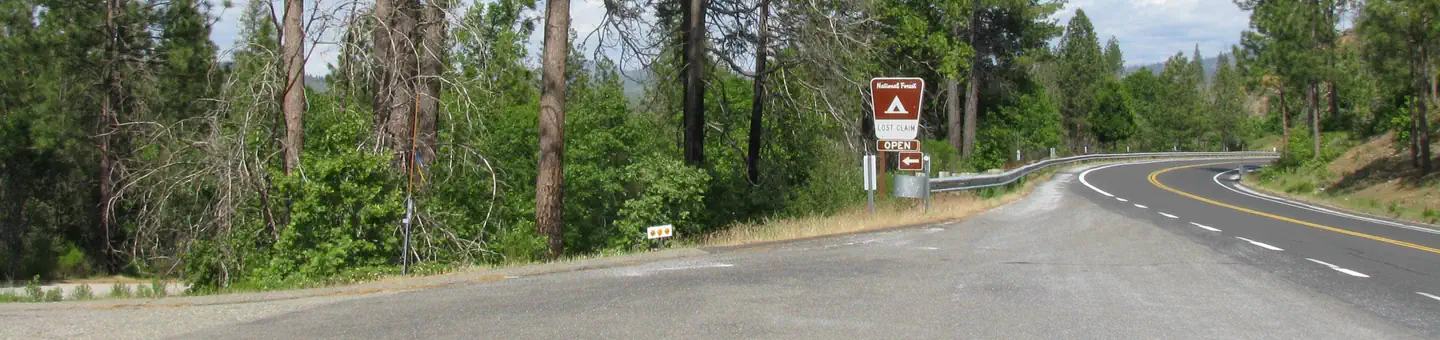
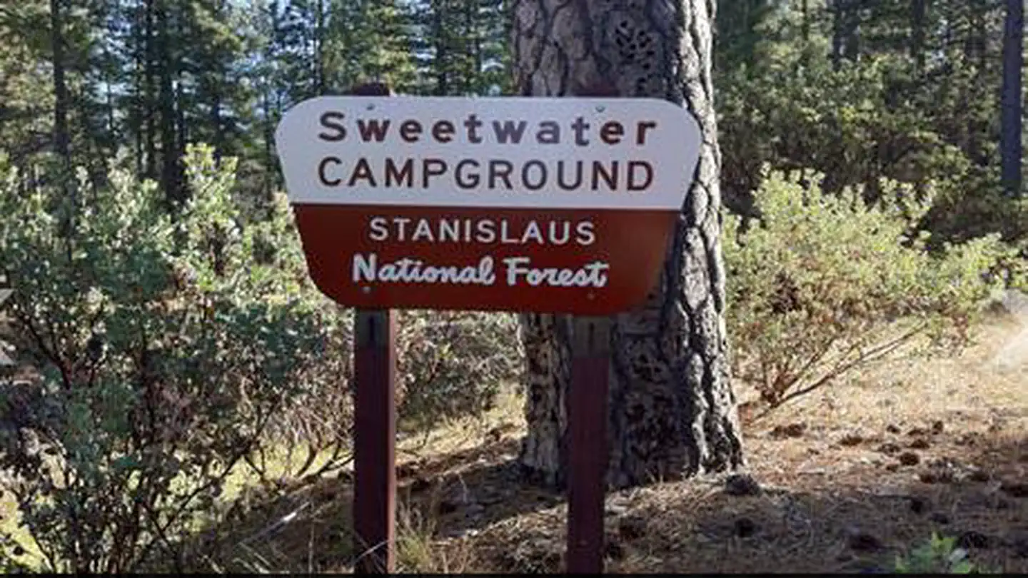
On the National Register nearby
- Big Gap FlumeSite · Groveland · 2.5 mi
- Groveland HotelBuilding · Groveland · 10.9 mi
- Hotel CharlotteBuilding · Groveland · 10.9 mi
Guidebooks for California
We earn a small commission if you buy through these links. It does not change what we list.

Titles come from Open Library's catalog, matched by subject heading or by title.
Reference
Questions people ask
Do I need a reservation at Lumsden Bridge Campground?
No. Lumsden Bridge Campground is first-come, first-served. For reservations, visit www.recreation.gov or call 1 (877) 444-6777; TDD: 1877-833-6777. Sites are taken on arrival and paid at the fee station.
Source: Forest Service
How much does it cost to camp at Lumsden Bridge Campground?
$25 Open Season: May - September
Source: Forest Service
Is Lumsden Bridge Campground open right now?
Temporarily closed as of Oct 16, 2026.
Source: Forest Service status
What if Lumsden Bridge Campground is full?
The nearest public campgrounds are South Fork Campground (1 mi, first-come), Lost Claim (2.1 mi), and Sweetwater (2.2 mi).
Source: Campgrounds nearby