Pines Stanislaus
Pines Campground is conveniently located, just 15 miles from the Yosemite National Park boundary in northern California. It is an ideal base camp for visitors to explore not only Yosemite, but also the fantastic wilderness areas within Stanislaus National Forest, including Carson-Iceberg, Emigrant and Mokelumne Wildernesses. Pets are welcome, but must be compliant with Tuolumne County leash laws.
The group site has its own page: Pines Group Stanislaus.
More like this: reservable in California · pets allowed in California
Check availability on Recreation.gov ↗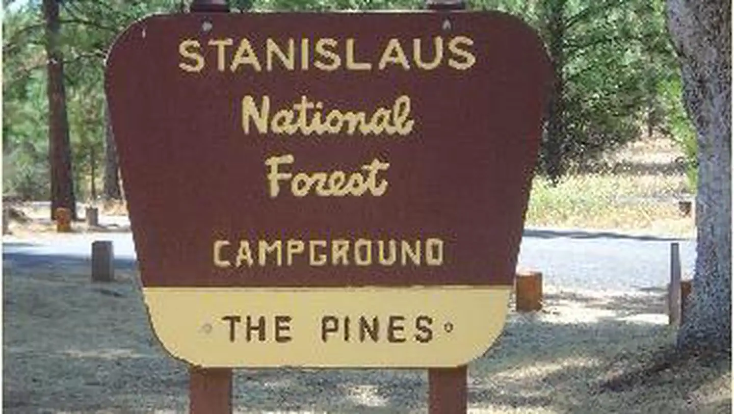

Site mix
| Standard, no hookups | 11 |
| Host/management | 1 |
Site guide
Will my RV fit
The longest site here provides 32 feet of vehicle capacity. Most sites are shorter.
11 sites. Tap a filter to narrow the list; the map follows.
| Site | Surface | People / vehicles | Fires | Accessible | Rating |
|---|---|---|---|---|---|
| 1 | Paved | 6 / 2 | Yes | Yes | Standard |
| 2 | Paved | 6 / 2 | Yes | Yes | Standard |
| 3 | Paved | 6 / – | Yes | Yes | Standard |
| 5 | Paved | 6 / 1 | Yes | Yes | Standard |
| 6 | Paved | 6 / 1 | Yes | Standard | |
| 7 | Paved | 6 / – | Yes | Standard | |
| 8 | Paved | 6 / 1 | Yes | Standard | |
| 9 | Paved | 6 / 2 | Yes | Standard | |
| 10 | Paved | 6 / 2 | Yes | Standard | |
| 11 | Paved | 6 / – | Yes | Standard |
Per-site records as published by the managing agency on Recreation.gov. Blank cells mean the agency listed nothing for that site. Check-in 2:00 PM, checkout 11:00 AM.
Amenities & rules
| Hookups | None |
| Equipment | RVs & trailers, Tents |
| Pets | Allowed |
| Campfires | Allowed, subject to restrictions |
| Accessibility | Sites 1, 2, 3, 4 and 1 more are listed accessible |
In winter, camping is free but water and toilet paper are not provided.
Individual sites vary. Confirm on Recreation.gov or with the managing office.
Season & status
| Status | Open |
| Forest | Stanislaus National Forest |
| Fees | American Land & Leisure operates The Pines Campground during the summer (typically May through September) and charges the following fees: $25.00 for a single-family site and $125.00 for the group site (50 person capacity). |
| Rules | Camp in designated sites only. The number of people allowed in a single campsite is 6. The maximum length of stay in any campground is 14 days. Campfire permits are not required in developed campgrounds. Do not burn trash. Please leave the area in as good (or better) condition than you found it. Often, locations destroyed by thoughtless campers must be closed to restore the area's natural health. |
Weather by month
Getting there
9 miles east of Groveland on Old Highway 120, just east of the Groveland District office.
| Nearest town | Groveland, California |
| Coordinates | 37.8190° N, 120.0939° W · Directions ↗ |
Fire nearby
- WildfireDome
31 mi from the campground · 6,788 acres · 95% contained
Distance is to the reported incident point, not the fire edge. Call the managing office before you drive.
Supplies & services
| Dump station | Dump station ↗ | 5.6 mi |
| Outdoor gear | Mountain Shop & Mountaineering School ↗ | 29.1 mi |
| RV sales & service | Denis RV Center ↗ | 47.5 mi |
Locations © OpenStreetMap contributors. Call ahead; hours change seasonally.
Explore
Video
The Pines Campground Stanislaus National Forest, CA
Worth a stop
Take a scenic drive through Yosemite National Park to view its legendary waterfalls and scenery.
- 4.4 miRainbow Pool Day Use Area ↗Day use
- 12 miBig Oak Flat Information Station ↗Visitor center
- 12.7 miCarlon Day Use Area ↗Day use
Trails nearby
- 0.2 miL.g.c.f ( Spur)0.3 mi trail · hiking, horse, bike
- 0.2 miL.g.c.f. Falls Interperative T0.1 mi trail · hiking, horse, bike
- 0.3 miL.g.c.f Falls ( Spur )0.05 mi trail · hiking, horse, bike
- 0.3 miGolden Forest Interp. Trail1.5 mi trail · hiking, horse, bike
- 1.5 miJawbone Ridge OHV 4x40.05 mi trail · hiking, horse, bike, motorcycle and 2 more
- 2.2 miTuolumne Canyon ↗5.2 mi trail · hiking, horse, bike
Trail and trailhead records are the Forest Service's. Distances are straight-line to the nearer trail end. Trail conditions are not tracked here.
Public land it sits in
Stanislaus National Forest begins about 1.2 miles away, and it is the closest of these.
- 1.2 miStanislaus National Forest ↗National Forest · Forest Service · 1,090,354 acres
- 11.2 miYosemite Wilderness ↗Wilderness · National Park Service · 704,624 acres
Each unit is published as a centre point and an acreage rather than a boundary, so this section stands it in for a circle of the same area. Whether a campground is inside, and how far it is from one it is outside, are both approximate.
Other campgrounds nearby


On the National Register nearby
- Big Gap FlumeSite · Groveland · 1.8 mi
- Groveland HotelBuilding · Groveland · 7.5 mi
- Watts & Tannahill Company StoreBuilding · Groveland · 7.5 mi
Natural features
The tranquil campground sits at an elevation of 3,200 feet, in a mixed conifer forest. The Tuolumne River is nearby, which flows for 150 mies from the central Sierra Nevada to the San Joaquin River.
Recreation
Hike the Little Golden Forest Trail, a half-mile interpretive loop with the option for a longer two-mile loop. A short drive takes visitors to the Tuolumne River for wading and fishing. Winter sports are very popular in the area as well. Dodge Ridge, Bear Valley and Badger Pass Ski Areas offer a variety of winter activities.
Guidebooks for California
We earn a small commission if you buy through these links. It does not change what we list.

Titles come from Open Library's catalog, matched by subject heading or by title.
Reference
Questions people ask
Do I need a reservation at Pines Stanislaus?
Sites at Pines Stanislaus are reservable on Recreation.gov. Any walk-up sites are listed on the booking page.
Source: Recreation.gov
How much does it cost to camp at Pines Stanislaus?
American Land & Leisure operates The Pines Campground during the summer (typically May through September) and charges the following fees: $25.00 for a single-family site and $125.00 for the group site (50 person capacity).
Source: Recreation.gov
What time is check-in at Pines Stanislaus?
Check-in 2:00 PM, checkout 11:00 AM.
Source: Recreation.gov
Is Pines Stanislaus open right now?
Open as of Oct 16, 2026.
Source: Forest Service status
How many sites does Pines Stanislaus have?
12 sites, including 11 standard sites without power.
Source: Recreation.gov
Can I bring an RV to Pines Stanislaus?
Pines Stanislaus is listed for tents only.
Source: Recreation.gov
Are pets allowed at Pines Stanislaus?
Yes, pets are allowed at Pines Stanislaus. Leash rules apply.
Source: Recreation.gov
Can I have a campfire at Pines Stanislaus?
Fires are allowed in the provided rings under normal conditions. As of 2026-10-16, there is 1 active fire within 50 miles, so check current restrictions before you light one. Camp in designated sites only.
Source: Fire nearby
Are there accessible sites at Pines Stanislaus?
Sites 1, 2, 3, and 4 are listed accessible on Recreation.gov, 5 sites in all. What that covers (a paved pad, an accessible table, a nearby accessible restroom) is on each site's booking page.
Source: Recreation.gov
Is there cell service at Pines Stanislaus?
FCC coverage maps show Verizon 4G LTE at the campground point. Terrain changes that from one site to the next.
Source: FCC Broadband Map
What is there to do at Pines Stanislaus?
Hike the Little Golden Forest Trail, a half-mile interpretive loop with the option for a longer two-mile loop. The Recreation section on this page has the rest.
Source: Recreation
What is the nearest town to Pines Stanislaus?
Groveland, California. Take a scenic drive through Yosemite National Park to view its legendary waterfalls and scenery.
Source: Getting there