Las Petacas Campground
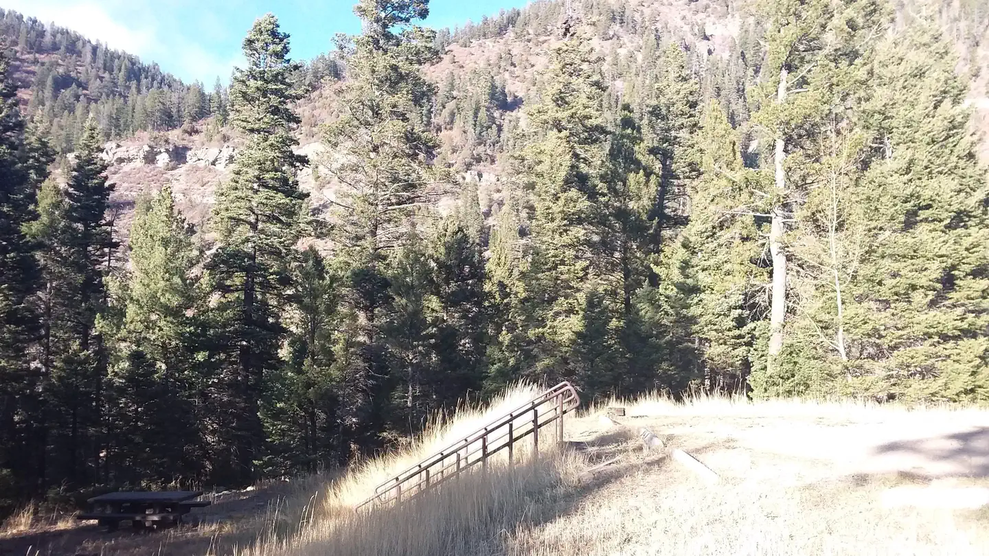
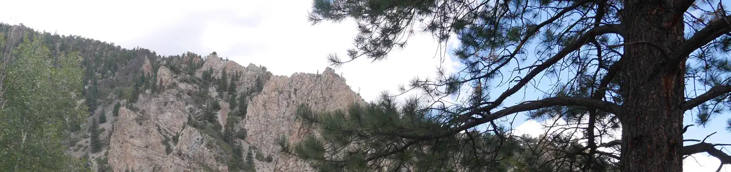
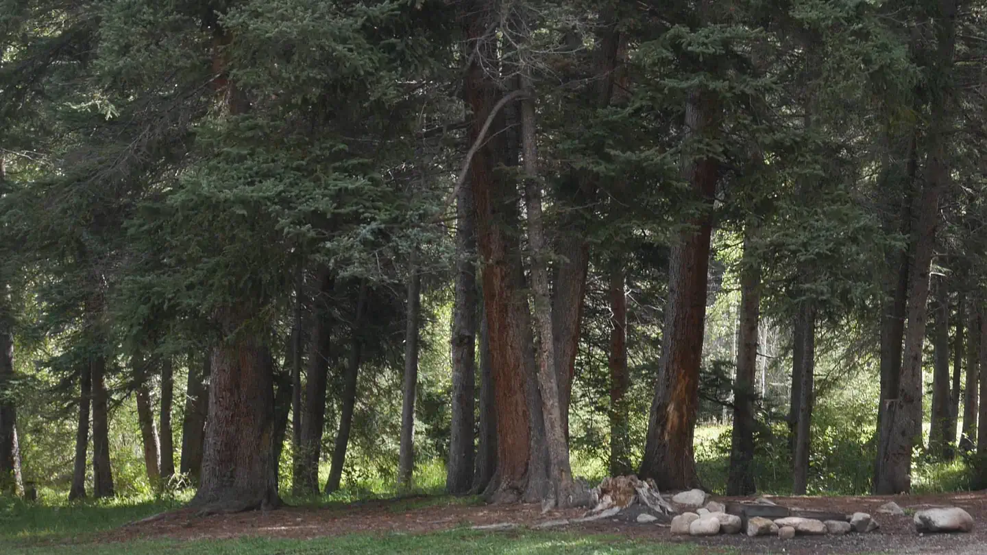
Set in a beautiful canyon quite close to Taos, there is good access to Rio Fernando de Taos for fishing.
More like this: first-come in New Mexico

Season & status
| Status | Closed for the season. Forest Service sites close for the season; check the official page for the reopening date. |
| Forest | Carson National Forest |
| Fees | Campsite (includes parking for one vehicle) $14/night. Campsite for Senior or Access pass holders $7/night. Extra vehicle $7/night. Day use parking $6/day |
Weather by month
Getting there
4 miles southeast of Taos via US 64
| Coordinates | 36.3820° N, 105.5214° W · Directions ↗ |
Fire nearby
- PrescribedComanche Powderhouse Fall Rx
34 mi from the campground
- PrescribedMartinez Fall Rx
36 mi from the campground
- WildfireFrijoles
37 mi from the campground · 15,956 acres · 90% contained
- PrescribedStone Angel Fall Rx
41 mi from the campground
Distance is to the reported incident point, not the fire edge. Call the managing office before you drive.
Supplies & services
| Outdoor gear | Taos Mountain Outfitters ↗ | 3.4 mi |
| RV sales & service | Seco Bubble ↗ | 9.7 mi |
Locations © OpenStreetMap contributors. Call ahead; hours change seasonally.
No site-by-site records, no amenities, no fee schedule or photos in the Recreation.gov record. What is here comes from the agency's own listing. The rest lives there.
Checked nightly. Modules appear as soon as the record fills in.
Explore
Worth a stop
- 1.4 miRio Fernando Fishing ↗Fishing site
- 4.8 miRio Chiquito Fishing ↗Fishing site
Trails nearby
- 0.8 miNorth Boundary ↗9.4 mi trail · hiking, horse, bike
- 1.4 miEl Nogal Nature Trail1.1 mi trail · hiking, horse, bike
- 1.5 miDevisadero Loop ↗5 mi trail · hiking, horse, bike
- 1.5 miSouth Boundary ↗20.7 mi trail · hiking, horse, bike · national_recreation_or_other
- 1.5 miS Boundary - El Nogal Nature0.1 mi trail · hiking, horse, bike
- 1.9 miS Boundary - Ojitos0.1 mi trail · hiking, horse, bike
Trail and trailhead records are the Forest Service's. Distances are straight-line to the nearer trail end. Trail conditions are not tracked here.
Public land it sits in
Carson National Forest begins about 1.2 miles away, and it is the closest of these.
- 1.2 miCarson National Forest ↗National Forest · Forest Service · 1,592,477 acres
- 11.2 miWheeler Peak Wilderness ↗Wilderness · Forest Service · 19,154 acres
- 12.4 miColumbine-Hondo Wilderness ↗Wilderness · Forest Service · 44,372 acres
Each unit is published as a centre point and an acreage rather than a boundary, so this section stands it in for a circle of the same area. Whether a campground is inside, and how far it is from one it is outside, are both approximate.
Other campgrounds nearby
Historic landmarks nearby

.jpg/960px-Kit_Carson_House%2C_Kit_Carson_Avenue%2C_Taos_(Taos_County%2C_New_Mexico).jpg)

Guidebooks for New Mexico
We earn a small commission if you buy through these links. It does not change what we list.
Titles come from Open Library's catalog, matched by subject heading or by title.
Reference
Questions people ask
Do I need a reservation at Las Petacas Campground?
No. Las Petacas Campground is first-come, first-served. Sites are taken on arrival and paid at the fee station.
Source: Forest Service
How much does it cost to camp at Las Petacas Campground?
Campsite (includes parking for one vehicle) $14/night. Campsite for Senior or Access pass holders $7/night. Extra vehicle $7/night.
Source: Forest Service
Is Las Petacas Campground open right now?
Closed for the season as of Oct 16, 2026.
Source: Forest Service status
What if Las Petacas Campground is full?
The nearest public campgrounds are La Sombra Campground (2.4 mi, first-come), Agua Piedra Campground (17.1 mi, partly first-come), and Columbine Campground (20.6 mi).
Source: Campgrounds nearby