Columbine Campground
Columbine Campground is located between Questa and Red River, New Mexico. The Red River flows past the campground and a trailhead leads into the Columbine-Hondo Wilderness area. Columbine Campground sits at 7,900 feet in elevation.
More like this: reservable in New Mexico · big rigs in New Mexico · pets allowed in New Mexico
Check availability on Recreation.gov ↗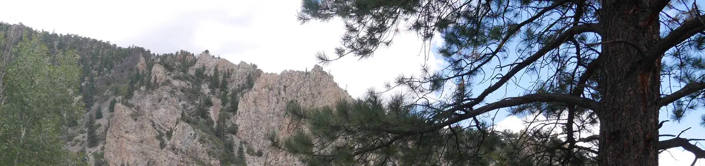
Site mix
| Standard, no hookups | 25 |
| Tent-only | 2 |
Site guide
Will my RV fit
The longest site here provides 70 feet of vehicle capacity. Most sites are shorter.
27 sites. Tap a filter to narrow the list; the map follows.
| Site | Type | Entry | Fits, ft | Surface | Shade | Waterfront | People / vehicles | Fires | Accessible | Rating |
|---|---|---|---|---|---|---|---|---|---|---|
| 001 | Standard | Back-in | 40 | Gravel | Riverfront | 8 / 1 | Yes | Yes | Standard | |
| 002 | Standard | Back-in | 35 | Gravel | Partial | Riverfront | 8 / 1 | Yes | Standard | |
| 003 | Standard | Back-in | 30 | Paved | Riverfront | 8 / 1 | Yes | Standard | ||
| 004 | Standard | Back-in | 25 | Paved | Riverfront | 8 / 1 | Yes | Standard | ||
| 005 | Standard | Back-in | 30 | Paved | Riverfront | 8 / 1 | Yes | Standard | ||
| 006 | Standard | Back-in | 35 | Paved | Riverfront | 8 / 1 | Yes | Standard | ||
| 007 | Standard | Back-in | 50 | Paved | Partial | 8 / 1 | Yes | Standard | ||
| 008 | Standard | Back-in | 30 | Paved | Partial | 8 / 1 | Yes | Yes | Standard | |
| 009 | Standard | Back-in | 35 | Paved | Partial | 8 / 1 | Yes | Standard | ||
| 010 | Standard | Back-in | 50 | Paved | 8 / 1 | Yes | Standard |
Per-site records as published by the managing agency on Recreation.gov. Blank cells mean the agency listed nothing for that site. Check-in 2:00 PM, checkout 12:00 PM.
Amenities & rules
| Hookups | None |
| Max vehicle length | 70 ft |
| Equipment | RVs & trailers, Tents |
| Pets | Allowed |
| Campfires | Allowed, subject to restrictions |
| Accessibility | Sites 001, 008 are listed accessible |
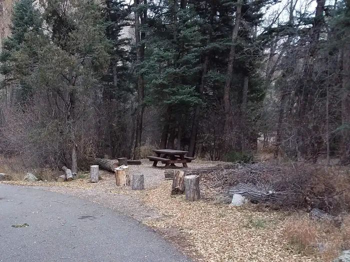
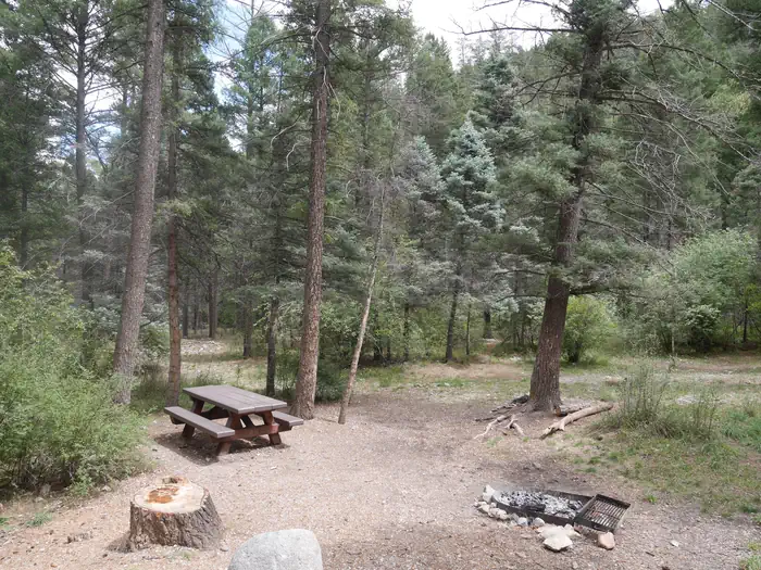
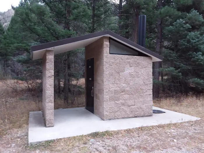
This campground offers 26 single sites, potable water, and vault toilets. Each site is has a fire ring, picnic table, and tent pad.
Individual sites vary. Confirm on Recreation.gov or with the managing office.
Season & status
| Status | Closed for the season. Forest Service sites close for the season; check the official page for the reopening date. |
| Forest | Carson National Forest |
| Booking | A reservation fee will be added to the price. |
| Fees | Campsite (includes parking for one vehicle) $22/night. Campsite for Senior or Access pass holders $11/night. Extra vehicle $11/night. Day use parking $11/day |
Weather by month
Getting there
Five miles east of Questa, New Mexico via NM highway 38.
| Coordinates | 36.6800° N, 105.5142° W · Directions ↗ |
Good to know
- Please note that no water can be filled directly into a trailer, rv, or motorhome anywhere in this campground - the potable water is only for filling containers you bring back to your site.
Fire nearby
- PrescribedComanche Powderhouse Fall Rx
17 mi from the campground
- PrescribedMartinez Fall Rx
28 mi from the campground
- PrescribedStone Angel Fall Rx
47 mi from the campground
Distance is to the reported incident point, not the fire edge. Call the managing office before you drive.
Supplies & services
| Outdoor gear | Outdoor gear ↗ | 6.3 mi |
| RV sales & service | Seco Bubble ↗ | 11.8 mi |
Locations © OpenStreetMap contributors. Call ahead; hours change seasonally.
Explore
Video
Columbine Campground, Red River New Mexico -- Camping Review, Part 1
Worth a stop
Be sure to explore Red River, Questa, and the Enchanted Circle while in the area.
- under 0.1 miColumbine Creek Fishing ↗Fishing site
- 4.7 miGoose Lake Fishing ↗Fishing site
- 10 mi
Trails nearby
- 0.2 miColumbine Canyon ↗5.3 mi trail · hiking, horse · national_recreation_or_other
- 1.6 miDeer Creek ↗7.1 mi trail · hiking, horse · national_recreation_or_other
- 2 miPlacer Fork4.4 mi trail · hiking, horse
- 2.5 miWillow Fork2.7 mi trail · hiking, horse
- 2.9 miElephant Rock Mill3.1 mi trail · hiking, horse, bike, motorcycle and 1 more
- 3 miElephant Rock South ↗5.5 mi trail · hiking, horse, bike, motorcycle and 1 more
Trail and trailhead records are the Forest Service's. Distances are straight-line to the nearer trail end. Trail conditions are not tracked here.
Public land it sits in
This campground sits inside Columbine-Hondo Wilderness.
- inColumbine-Hondo Wilderness ↗Wilderness · Forest Service · 44,372 acres
- 1.8 miCarson National Forest ↗National Forest · Forest Service · 1,592,477 acres
- 3.5 miLatir Peak Wilderness ↗Wilderness · Forest Service · 20,420 acres
Each unit is published as a centre point and an acreage rather than a boundary, so this section stands it in for a circle of the same area. Whether a campground is inside, and how far it is from one it is outside, are both approximate.
Other campgrounds nearby


Historic landmarks nearby


.jpg/960px-Kit_Carson_House%2C_Kit_Carson_Avenue%2C_Taos_(Taos_County%2C_New_Mexico).jpg)
Natural features
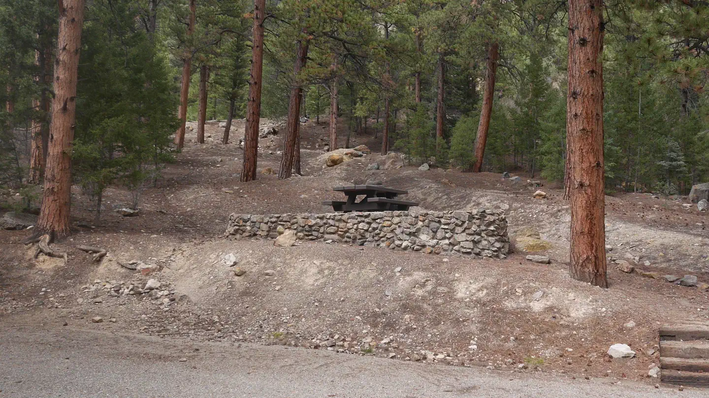
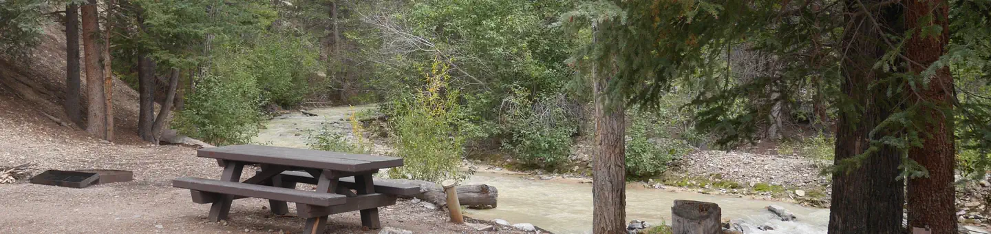
The campground is composed of two loops. One small loop at the campground entrance, has all open sites and views of the towering mountains. The other is a long loop up the canyon along the fast-flowing Columbine Creek. The campsites in this loop are tucked in among pine, spruce and some aspen providing ample shade and good privacy between campsites.
Recreation
The Columbine Twining hiking trail can be found at the south end of the campground and gives access to 14 miles of hiking trails, and leads into the Columbin-Hondo Wilderness area. The Red River runs near the campground and can be accessed near the first loop.
Guidebooks for New Mexico
We earn a small commission if you buy through these links. It does not change what we list.
Titles come from Open Library's catalog, matched by subject heading or by title.
Reference
Questions people ask
Do I need a reservation at Columbine Campground?
Sites at Columbine Campground are reservable on Recreation.gov. A reservation fee will be added to the price. Any walk-up sites are listed on the booking page.
Source: Recreation.gov
How much does it cost to camp at Columbine Campground?
Campsite (includes parking for one vehicle) $22/night. Campsite for Senior or Access pass holders $11/night. Extra vehicle $11/night.
Source: Recreation.gov
What time is check-in at Columbine Campground?
Check-in 2:00 PM, checkout 12:00 PM.
Source: Recreation.gov
Is Columbine Campground open right now?
Closed for the season as of Oct 16, 2026.
Source: Forest Service status
How many sites does Columbine Campground have?
27 sites, including 25 standard sites without power and 2 tent-only sites.
Source: Recreation.gov
Will my RV fit at Columbine Campground?
The longest site here provides 70 feet of vehicle capacity. Most sites are shorter. The sidebar tool checks a trailer or motorhome length against every site.
Source: Will my RV fit
Are pets allowed at Columbine Campground?
Yes, pets are allowed at Columbine Campground. Leash rules apply.
Source: Recreation.gov
Can I have a campfire at Columbine Campground?
Fires are allowed in the provided rings under normal conditions. As of 2026-10-16, there are 3 active fires within 50 miles, so check current restrictions before you light one.
Source: Fire nearby
Are there accessible sites at Columbine Campground?
Sites 001 and 008 are listed accessible on Recreation.gov. What that covers (a paved pad, an accessible table, a nearby accessible restroom) is on each site's booking page.
Source: Recreation.gov
What is there to do at Columbine Campground?
The Columbine Twining hiking trail can be found at the south end of the campground and gives access to 14 miles of hiking trails, and leads into the Columbin-Hondo Wilderness area. The Recreation section on this page has the rest.
Source: Recreation
What if Columbine Campground is full?
The nearest public campgrounds are La Bobita Campground (2.4 mi, first-come), Elephant Rock Campground (4.1 mi), and Fawn Lakes Campground (4.7 mi).
Source: Campgrounds nearby