Palisades Campground
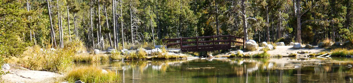
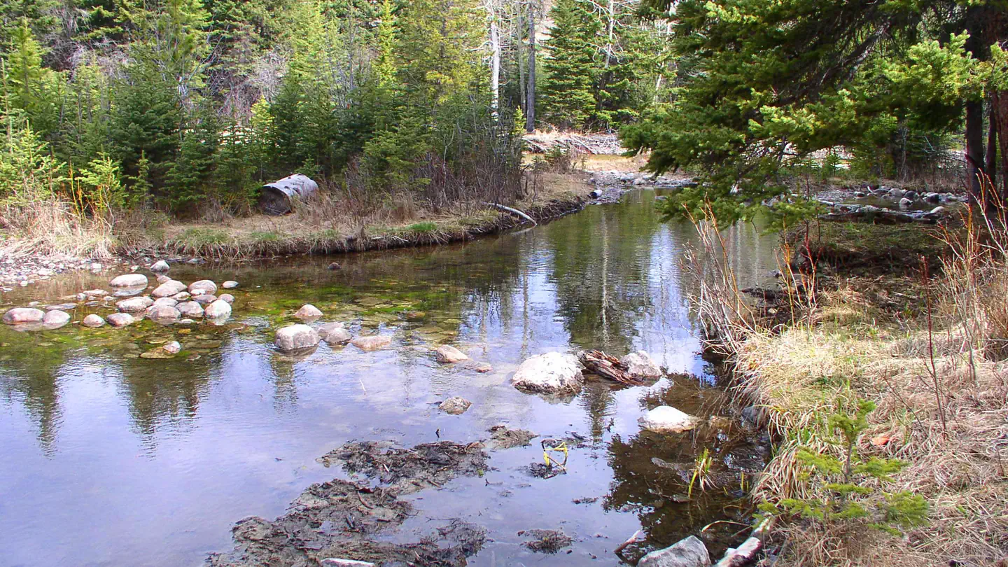
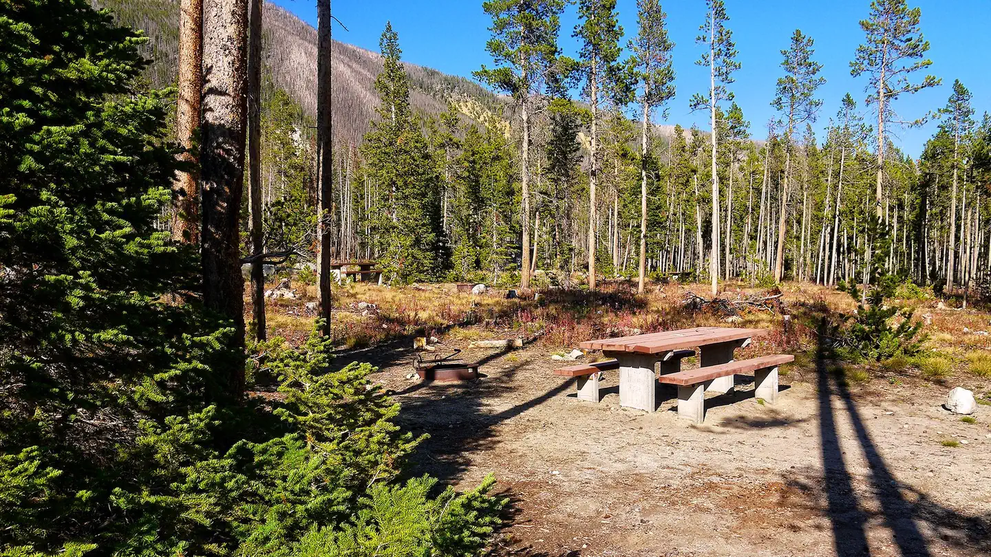
Palisades Campground is a free campground, located at the end of Palisades Road #2010 near Red Lodge, just below Red Lodge Mountain Ski Resort and the palisades geological formation. The Willow Creek Trail (# 105) and the Palisades Trail (# 109) both leave from the western end of the campground. Camp sites: 6. Max Trailer Length: 16ft. Host: No. Accessible Facilities: Vault toilets. Trash Pickup: No. Firewood: No. Don't move firewood to other areas or bring in outside firewood.Prevent the spread of tree-killing insects by obtaining firewood near your destination and burning it there.
More like this: first-come in Montana

Site map
4 campsite locations mapped by OpenStreetMap contributors. The site numbers are theirs and may not match the posts at the campground. Map data © OpenStreetMap contributors, ODbL.
Season & status
| Season | 5/26 - 9/30 |
| Forest | Custer Gallatin National Forest |
| Booking | No Reservations. This campground does not use a reservation system. The campground may fill up on weekends & holidays during the summer months and you should arrive in the… |
| Fees | Free |
Weather by month
Getting there
| Coordinates | 45.1715° N, 109.3086° W · Directions ↗ |
Supplies & services
| Outdoor gear | Grizzly Peak Outdoors ↗ | 3.2 mi |
| Dump station | Dump station ↗ | 39.9 mi |
| RV sales & service | Laurel Trading Post ↗ | 43.5 mi |
Locations © OpenStreetMap contributors. Call ahead; hours change seasonally.
No site-by-site records, no amenities, no fee schedule or directions in the Recreation.gov record. What is here comes from the agency's own listing. The rest lives there.
Checked nightly. Modules appear as soon as the record fills in.
Explore
Worth a stop
- 14.6 miSand Dunes Picnic Site ↗Day use
Trails nearby
- under 0.1 miWillow Creek2 mi trail · hiking, horse, bike
- 0.1 miPalisades Trail3.6 mi trail · hiking, horse, bike
- 0.2 miNichols Connector2.4 mi trail · hiking, horse, bike
- 1.2 miNichols Trail4.2 mi trail · hiking, horse, bike
- 2.2 miSilver Run ↗5 mi trail · hiking, horse, bike · national_recreation_or_other
- 2.2 miSilver Run Ski Trail ↗5 mi trail · snowshoe, ski
Trail and trailhead records are the Forest Service's. Distances are straight-line to the nearer trail end. Trail conditions are not tracked here.
Public land it sits in
This campground sits inside Custer Gallatin National Forest.
- inCuster Gallatin National Forest ↗National Forest · Forest Service · 3,412,203 acres
Each unit is published as a centre point and an acreage rather than a boundary, so this section stands it in for a circle of the same area. Whether a campground is inside, and how far it is from one it is outside, are both approximate.
Other campgrounds nearby

On the National Register nearby
- Red Lodge Communal MausoleumBuilding · Red Lodge · 2.8 mi
- Calvary Episcopal ChurchBuilding · Red Lodge · 3.1 mi
- Yodeler MotelBuilding · Red Lodge · 3.1 mi
Guidebooks for Montana
We earn a small commission if you buy through these links. It does not change what we list.

Titles come from Open Library's catalog, matched by subject heading or by title.
Reference
Questions people ask
Do I need a reservation at Palisades Campground?
No. Palisades Campground is first-come, first-served. No Reservations. Sites are taken on arrival and paid at the fee station.
Source: Forest Service
How much does it cost to camp at Palisades Campground?
Free
Source: Forest Service
Is there cell service at Palisades Campground?
FCC coverage maps show AT&T 5G and T-Mobile 5G at the campground point. Terrain changes that from one site to the next.
Source: FCC Broadband Map
What if Palisades Campground is full?
The nearest public campgrounds are Basin Montana Campground (4.1 mi), Sheridan (4.9 mi), and Rattin Campground (6.1 mi).
Source: Campgrounds nearby