Cascade
Cascade Campground is located 11 miles west of Red Lodge, in southern Montana. It conveniently sits along Forest Road 2071, which is paved for most of the route. The area is a popular location for hiking, backpacking and fishing.
More like this: reservable in Montana · big rigs in Montana · pets allowed in Montana
Check availability on Recreation.gov ↗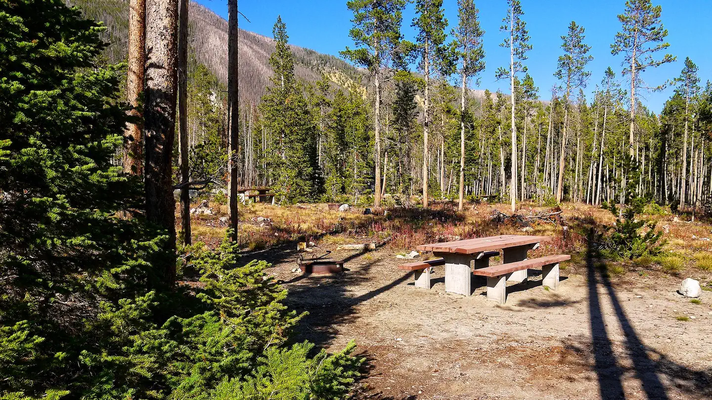
Site mix
| Standard, no hookups | 29 |
| Host/management | 1 |
Site guide
Will my RV fit
The longest site here provides 40 feet of vehicle capacity. Most sites are shorter.
29 sites in 2 loops. Tap a filter to narrow the list; the map follows.
| Site | Loop | Entry | Fits, ft | Surface | Shade | Waterfront | People / vehicles | Fires | Accessible |
|---|---|---|---|---|---|---|---|---|---|
| 001 | Sites 1-24 | Back-in | 18 | Gravel | Partial | 8 / 1 | Yes | ||
| 003 | Sites 1-24 | Back-in | 20 | Gravel | Partial | Riverfront | 8 / 1 | Yes | |
| 004 | Sites 1-24 | Back-in | 20 | Gravel | Partial | Riverfront | 8 / 1 | Yes | |
| 005 | Sites 1-24 | Back-in | 30 | Gravel | Partial | 8 / 1 | Yes | Yes | |
| 006 | Sites 1-24 | Back-in | 30 | Gravel | Partial | Riverfront | 8 / 1 | Yes | |
| 007 | Sites 1-24 | Back-in | 30 | Gravel | Partial | 8 / 1 | Yes | ||
| 008 | Sites 1-24 | Back-in | 20 | Gravel | Partial | Riverfront | 8 / 1 | Yes | |
| 009 | Sites 1-24 | Back-in | 30 | Gravel | Partial | Riverfront | 8 / 1 | Yes | |
| 010 | Sites 1-24 | Back-in | 30 | Gravel | Partial | 8 / 1 | Yes | ||
| 011 | Sites 1-24 | Back-in | 30 | Gravel | Riverfront | 8 / 1 | Yes |
Per-site records as published by the managing agency on Recreation.gov. Blank cells mean the agency listed nothing for that site. Check-in 2:00 PM, checkout 1:00 PM.
Amenities & rules
| Hookups | None |
| Max vehicle length | 40 ft |
| Equipment | RVs & trailers, Tents |
| Pets | Allowed |
| Campfires | Allowed, subject to restrictions |
| Tent pads | Yes |
| Fees | The first vehicle is included in the basic fee; A second will be charged an extra $10 fee and collected at the campground, if your site will accomodate it. Firewood bundles can be purchased from the campground host. |
| Accessibility | Sites 005, 002-HOST are listed accessible |
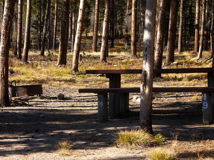
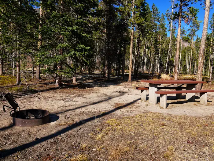
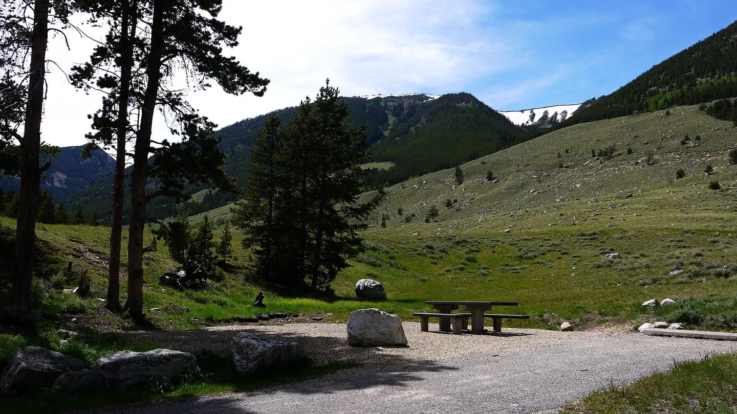
The campground offers several single-family sites, one of which is accessible (site #5). Each site is equipped with a picnic table and campfire ring with grill. Accessible vault toilets and drinking water are provided. Trash may be deposited in receptacles at nearby Basin Campground.
Individual sites vary. Confirm on Recreation.gov or with the managing office.
Season & status
| Season | 5/26- 9/8 Weather Dependent |
| Forest | Custer Gallatin National Forest |
| Booking | Reservations must be made more than 5 nights in advance of your stay. Reservations can be made up to 6 months in advance of your stay: Get a map and reserve a campsite 1-877-444-6777 20% of this… |
| Fees | $18.00 includes 1 driving vehicle $9 each additional vehicle. $6 day use campground fee for over ½ hour. 1/2 price fees for Interagency Senior or Access Pass holders |
Weather by month
Getting there
From U.S. Highway 212, go to the south end of Red Lodge. Turn west onto West Fork Rock Creek Road (Forest Road 2071) and travel 11 miles west. The campground is on the left.
| Nearest town | Red Lodge, Montana |
| Coordinates | 45.1733° N, 109.4508° W · Directions ↗ |
Charges and cancellations
This cancellation processing fee is retained by the reservation service contractor along with the non-refundable reservation fee. All requests for the return of the non-refundable reservation fee and the cancellation processing fee will be declined by the campground concessionaire as they did not receive these fees (these are the fees retained by the reservation contractor, a different entity).
Supplies & services
| Outdoor gear | Grizzly Peak Outdoors ↗ | 10 mi |
| RV sales & service | Laurel Trading Post ↗ | 48 mi |
Locations © OpenStreetMap contributors. Call ahead; hours change seasonally.
Explore
Video
Cascade Peaks Campground Pros and Cons | Review Of The Largest Private Campground in Washi
Worth a stop
The charming town of Red Lodge, Mont. offers a variety of dining and lodging options, galleries, shops and annual summer events. The Home of Champions Rodeo is held on the Fourth of July weekend, Beartooth Bike Rally and Iron Horse Rodeo take place in mid-July, the Mountain Man Rendezvous is in late July and the Festival of Nations happens in early August. The Beartooth Highway was deemed "the most beautiful drive in America," by the late Charles Kuralt. It snakes across the rugged Beartooth Mountains from Red Lodge to Cooke City. It is the highest elevation highway in the Northern Rockies. Along the way, visitors are treated to sweeping views and plentiful opportunities for outdoor recreation.
- 8.4 miSand Dunes Picnic Site ↗Day use
- 13.7 miWest Rosebud Lake Fishing Access ↗Fishing site
Trails nearby
- 0.7 miTimberline Lake ↗4.5 mi trail · hiking, horse
- 1.2 miCamp Senia0.4 mi trail · hiking, horse, bike
- 2.2 miBasin Lakes ↗4.1 mi trail · hiking, bike · national_recreation_or_other
- 2.2 miSenia Creek ↗6.9 mi trail · hiking, horse
- 2.2 miWest Fork Rock Creek ↗10.6 mi trail · hiking, horse
- 2.3 miSilver Run Lakes ↗6.8 mi trail · hiking, horse
Trail and trailhead records are the Forest Service's. Distances are straight-line to the nearer trail end. Trail conditions are not tracked here.
Public land it sits in
This campground sits inside Custer Gallatin National Forest.
- inCuster Gallatin National Forest ↗National Forest · Forest Service · 3,412,203 acres
- 10.2 miAbsaroka-Beartooth Wilderness ↗Wilderness · Forest Service · 937,102 acres
Each unit is published as a centre point and an acreage rather than a boundary, so this section stands it in for a circle of the same area. Whether a campground is inside, and how far it is from one it is outside, are both approximate.
Other campgrounds nearby

On the National Register nearby
- Camp Senia Historic DistrictHistoric district · Red Lodge · 1.3 mi
- Red Lodge Communal MausoleumBuilding · Red Lodge · 9.3 mi
- Calvary Episcopal ChurchBuilding · Red Lodge · 9.9 mi
Natural features
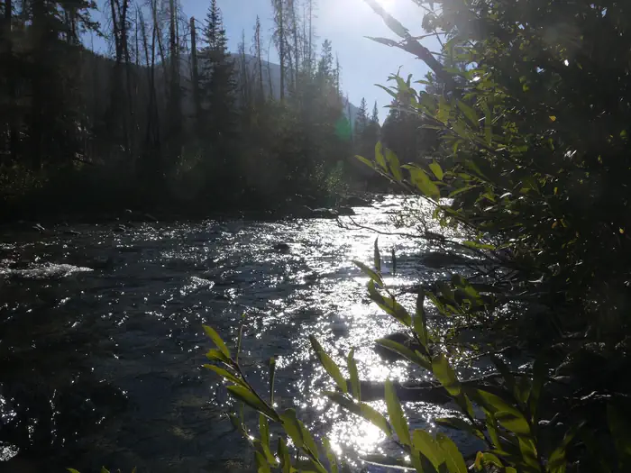
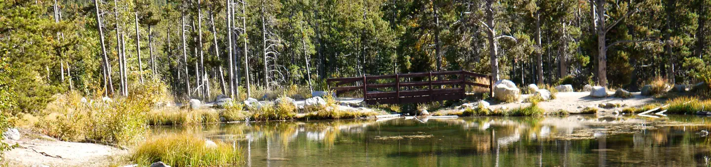
The campground is situated on the banks of the West Fork of Rock Creek. The area surrounding the campground was burned by the Cascade Fire in 2008, which left many open glades with abundant wildflowers.
Recreation
Fishing is a popular activity along the West Fork of Rock Creek and at nearby Wild Bill Lake. The small lake is open to kayaking and canoeing, and an accessible fishing dock is located on the shore. The Basin Lakes Trailhead is three miles away, across the road from Basin Campground. Silver Run Plateau, West Fork and Timberline Lakes trails offer access to the Absaroka-Beartooth Wilderness. Mountain bikers enjoy the Ingles Creek Trail and a variety of loop trails at Silver Run. Biking is also allowed on the Basin Lakes Trail.
Guidebooks for Montana
We earn a small commission if you buy through these links. It does not change what we list.

Titles come from Open Library's catalog, matched by subject heading or by title.
Reference
Questions people ask
Do I need a reservation at Cascade?
Sites at Cascade are reservable on Recreation.gov. Reservations must be made more than 5 nights in advance of your stay. Any walk-up sites are listed on the booking page.
Source: Recreation.gov
How much does it cost to camp at Cascade?
The first vehicle is included in the basic fee; A second will be charged an extra $10 fee and collected at the campground, if your site will accomodate it. Firewood bundles can be purchased from the campground host.
Source: Recreation.gov
What time is check-in at Cascade?
Check-in 2:00 PM, checkout 1:00 PM.
Source: Recreation.gov
How many sites does Cascade have?
30 sites, including 29 standard sites without power.
Source: Recreation.gov
Will my RV fit at Cascade?
The longest site here provides 40 feet of vehicle capacity. Most sites are shorter. The sidebar tool checks a trailer or motorhome length against every site.
Source: Will my RV fit
Are pets allowed at Cascade?
Yes, pets are allowed at Cascade. Leash rules apply.
Source: Recreation.gov
Can I have a campfire at Cascade?
Fires are allowed in the provided rings under normal conditions.
Source: Recreation.gov
Are there accessible sites at Cascade?
Sites 005 and 002-HOST are listed accessible on Recreation.gov. What that covers (a paved pad, an accessible table, a nearby accessible restroom) is on each site's booking page.
Source: Recreation.gov
What is there to do at Cascade?
Fishing is a popular activity along the West Fork of Rock Creek and at nearby Wild Bill Lake. The Recreation section on this page has the rest.
Source: Recreation
What is the nearest town to Cascade?
Red Lodge, Montana. The charming town of Red Lodge, Mont.
Source: Getting there
What if Cascade is full?
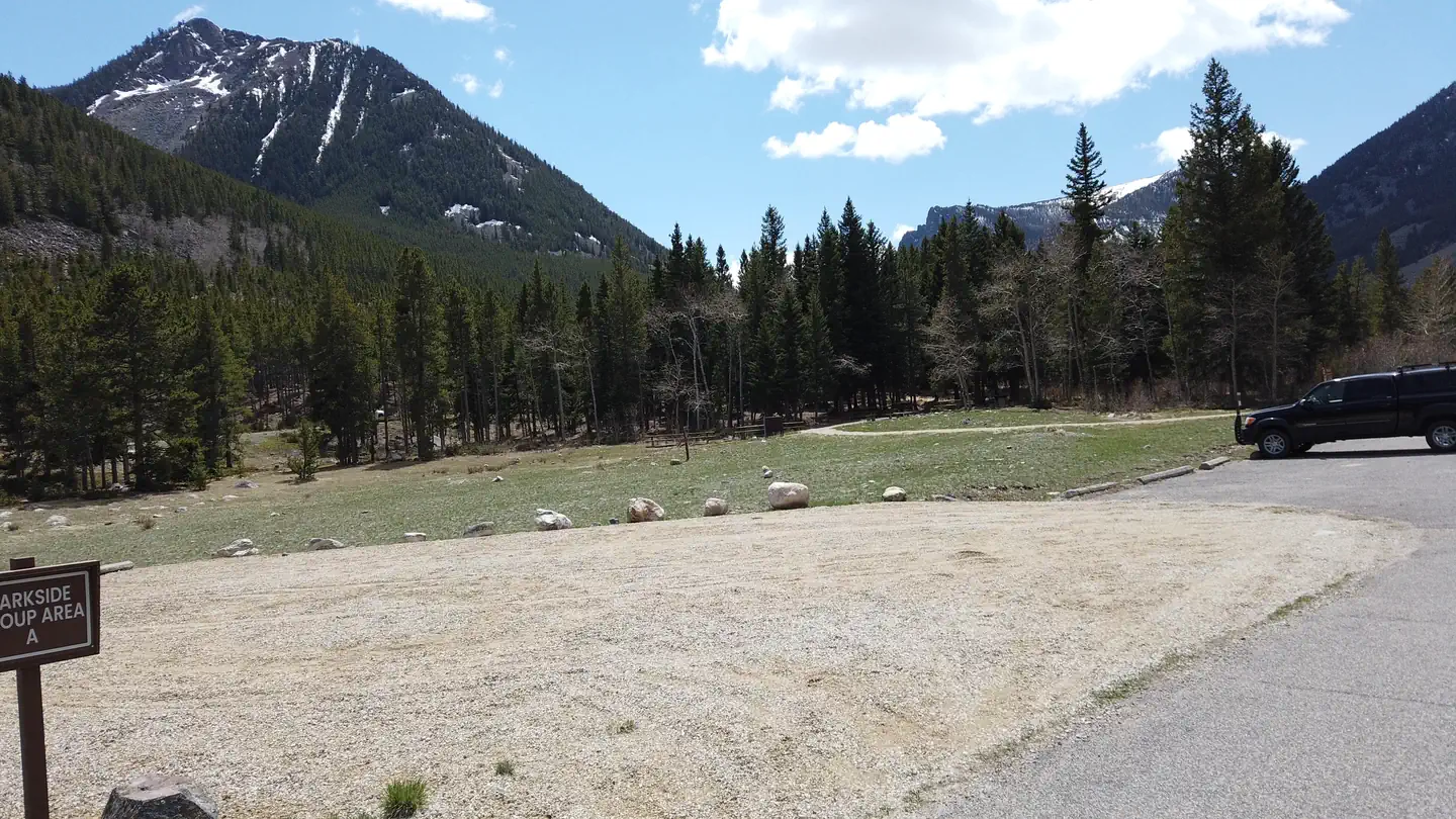
The nearest public campgrounds are Basin Montana Campground (3 mi), Palisades Campground (6.9 mi, first-come), and Parkside (8 mi).
Source: Campgrounds nearby