Sugar Creek Campground And Day Use Area
Sugar Creek Campground and Day Use Area are among the most highly developed recreational sites on the Ochoco National Forest. The campground offers three moderately accessible campsites and all pathways are ADA compliant. The setting of the facility is a young ponderosa pine forest, straddling a creek with easy access to a paved Forest Service Road. Opportunities for picnicking with a large group exist in the Day Use Area. Additionally, a short hike and wildlife viewing along Sugar Creek Trail are available throughout the facility. Come take a break from civilization and enjoy the fresh pine scented air at Paulina Ranger District's most desirable campground!
More like this: first-come in Oregon

Season & status
| Status | Closed for the season. Forest Service sites close for the season; check the official page for the reopening date. |
| Season | Mid May to October |
| Forest | Ochoco National Forest |
| Fees | Per night, per site fee: $8/first vehicle; $3/each additional vehicle. |
| Rules | Due to the presence of bald eagles there may are seasonal closures on land access in this specific area from December 1st through May 1st every year. There is a 14 day stay limit on all National Grassland and US Forest Service land including campgrounds and other developed facilities. |
Weather by month
Getting there
From Prineville, Oregon. Take Post-Paulina Hwy (State Highway 380) southeast from Prineville for about 55 miles, then turn left onto Izee Hwy east of Paulina (County Road 112). Travel on County Road 112 for 3.5 miles to Beaver Creek Road (County Road 113). Turn onto the left fork (County Road 113) and go 7.5 miles to Forest Service Road 58.
| Coordinates | 44.2343° N, 119.8045° W · Directions ↗ |
Fire nearby
- PrescribedDamon 2A Rx
39 mi from the campground · 85 acres
- WildfireSecond Flat
47 mi from the campground · 105,854 acres · 99% contained
Distance is to the reported incident point, not the fire edge. Call the managing office before you drive.
Supplies & services
| Dump station | Dump station ↗ | 37.6 mi |
| RV sales & service | RV sales & service ↗ | 51.1 mi |
Locations © OpenStreetMap contributors. Call ahead; hours change seasonally.
No site-by-site records, no amenities, no fee schedule or photos in the Recreation.gov record. What is here comes from the agency's own listing. The rest lives there.
Checked nightly. Modules appear as soon as the record fills in.
Explore
Trails nearby
- under 0.1 miSugar Creek0.5 mi trail · hiking, bike
- under 0.1 miSugar Creek Spur Aunder 0.1 mi trail · hiking, bike
- 0.1 miSugar Creek Spur Bunder 0.1 mi trail · hiking, bike
Trail and trailhead records are the Forest Service's. Distances are straight-line to the nearer trail end. Trail conditions are not tracked here.
Public land it sits in
Black Canyon Wilderness begins about 7.8 miles away, and it is the closest of these.
- 7.8 miBlack Canyon Wilderness ↗Wilderness · Forest Service · 13,090 acres
- 10.2 miOchoco National Forest ↗National Forest · Forest Service · 912,775 acres
Each unit is published as a centre point and an acreage rather than a boundary, so this section stands it in for a circle of the same area. Whether a campground is inside, and how far it is from one it is outside, are both approximate.
Other campgrounds nearby
Cabin and lookout rentals nearby
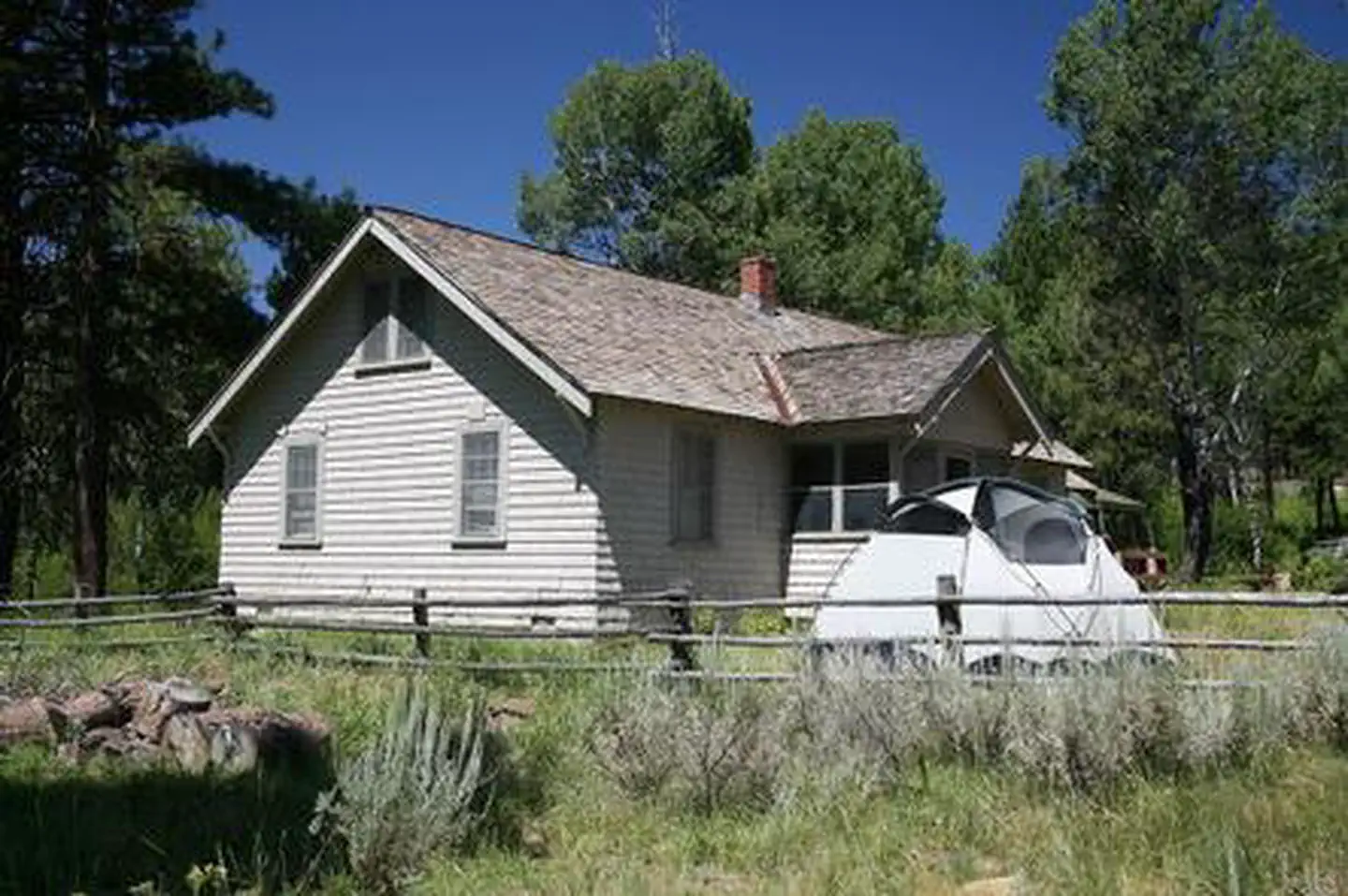
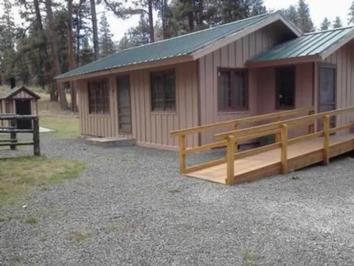
On the National Register nearby
- Roba Ranch, TheBuilding · Paulina · 9.8 mi
Guidebooks for Oregon
We earn a small commission if you buy through these links. It does not change what we list.

Titles come from Open Library's catalog, matched by subject heading or by title.
Reference
Questions people ask
Do I need a reservation at Sugar Creek Campground And Day Use Area?
No. Sugar Creek Campground And Day Use Area is first-come, first-served. Sites are taken on arrival and paid at the fee station.
Source: Forest Service
How much does it cost to camp at Sugar Creek Campground And Day Use Area?
Per night, per site fee: $8/first vehicle; $3/each additional vehicle.
Source: Forest Service
Is Sugar Creek Campground And Day Use Area open right now?
Closed for the season as of Oct 16, 2026. Season Mid May to October.
Source: Forest Service status
Is there cell service at Sugar Creek Campground And Day Use Area?
FCC coverage maps show AT&T 4G LTE at the campground point. Terrain changes that from one site to the next.
Source: FCC Broadband Map
What if Sugar Creek Campground And Day Use Area is full?
The nearest public campgrounds are Salters Cabin Horse Camp (1.4 mi, first-come), Wolf Creek Industrial Campground (1.6 mi, first-come), and Mud Springs Horse Camp (8.4 mi, first-come).
Source: Campgrounds nearby