Mestaa’Ėhehe Mountain Fire Lookout
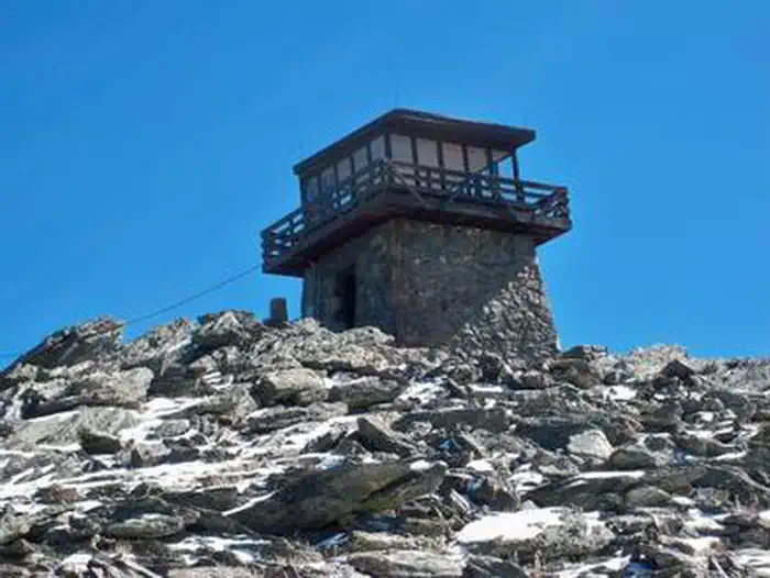
The Mestaa’ėhehe (pronounced mess-taw-HAY) Mountain Fire Lookout is located directly off of Colorado Highway 103 west of Bergen Park and sits at the summit of Mestaa’ėhehe Mountain, which is an active communication tower site in Clear Creek County. In addition to being an active communication site, the area is a popular dispersed recreation use area with hiking, recreational shooting, cross country skiing, snowshoeing, and camping. The lookout is a unique structure constructed of native granite which is situated at over 11,000 feet elevation and was built in the 1940s by the Civilian Conservation Corps.
Check availability on Recreation.gov ↗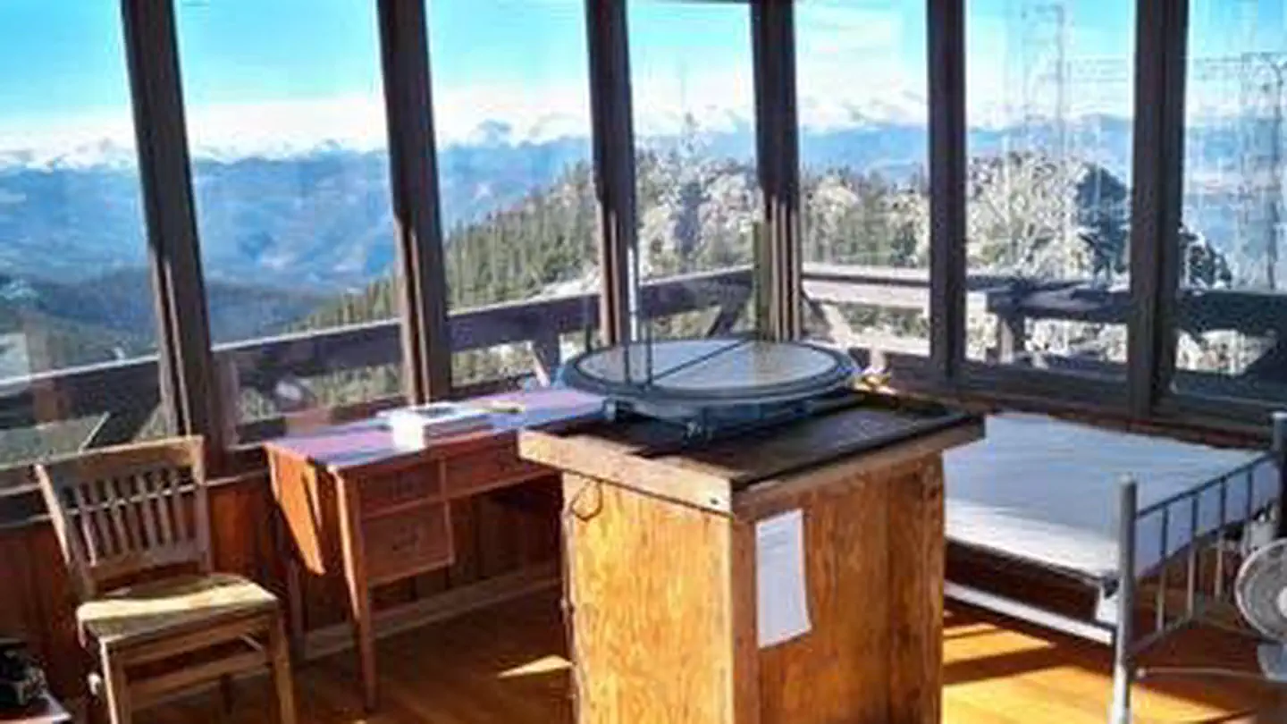

Site mix
| Fire lookouts | 1 |
Site guide
1 site. Tap a filter to narrow the list; the map follows.
| Site | Fits, ft | Surface | People / vehicles | Rating |
|---|---|---|---|---|
| Mestaa’ėhehe Mountain Fire LO | 20 | Gravel | 4 / 2 | Prime |
Per-site records as published by the managing agency on Recreation.gov. Blank cells mean the agency listed nothing for that site. Check-in 3:00 PM, checkout 12:00 PM.
Amenities & rules
| Max vehicle length | 20 ft |
The lookout contains an electric stove, refrigerator, and heat; beds; table and chairs; cookware and dishes; and an exterior incinerating toilet. Please be aware that visitors are expected to clean and maintain the incinerating toilet to ensure proper operation of the unit. The lookout can accommodate four people per night. Guests will need to bring their own water for drinking, cooking and cleaning purposes, as well as their own sleeping bags/bedding. This is a pack it in, pack it out facility; guests will need to carry out all trash and clean the facility prior to leaving. During the winter months, the facilities will be cold. In the lookout, there are two small wall heaters, and one space heater. However, with the weather conditions, it’s not always possible for them to keep the place consistently warm. At 11,000 feet it can also be extremely windy. Please come prepared for the extreme winter weather conditions that can happen during your stay.
Individual sites vary. Confirm on Recreation.gov or with the managing office.
Weather by month
Getting there
Please follow the directions provided below and do not use other navigation applications. From Idaho Springs and Interstate 70, take Exit 240 (Colorado Highway 103) and drive south over the bridge on Colorado 103 for 19 miles.
| Nearest town | Idaho Springs, Colorado |
| Coordinates | 39.6789° N, 105.4928° W · Directions ↗ |
Fire nearby
- PrescribedHarris Park Broadcast Rx
11 mi from the campground · 390 acres
- PrescribedO'Brien 2 Broadcast Rx
48 mi from the campground · 267 acres
Distance is to the reported incident point, not the fire edge. Call the managing office before you drive.
Supplies & services
| Outdoor gear | Clear Creek Outdoors ↗ | 4.5 mi |
| Dump station | Dump Station ↗ | 13.7 mi |
| RV sales & service | RV sales & service ↗ | 16.3 mi |
Locations © OpenStreetMap contributors. Call ahead; hours change seasonally.
Explore
Worth a stop
Mount Blue Sky Recreation Area, Mount Evans Wilderness Area
- 4.9 mi
- 5.7 miEcho Lake Trailhead ↗Trailhead
- 5.9 miLower Goliath Trailhead ↗Trailhead
- 11.2 mi
Trails nearby
- 1.5 miChief Mountain1.4 mi trail · hiking, horse, bike
- 1.6 miWarren Gulch4.3 mi trail · hiking, horse, bike
- 3.9 miCaptain Mountain ↗8.2 mi trail · hiking, horse, bike
- 4 miDevils Canyon Spur0.9 mi trail · hiking, horse, bike
- 4.1 miBarbour Fork2 mi trail · hiking, horse, bike
- 4.4 miDevil'S Canyon1.7 mi trail · hiking, horse, bike
Trailheads within three miles
- 1.5 miChief Mountain Trailhead ↗Arapaho & Roosevelt National Forests Pawnee NG
Trail and trailhead records are the Forest Service's. Distances are straight-line to the nearer trail end. Trail conditions are not tracked here.
Public land it sits in
Mount Evans Wilderness begins about 3.8 miles away, and it is the closest of these.
- 3.8 miMount Evans Wilderness ↗Wilderness · Forest Service · 73,416 acres
- 13 miJames Peak Wilderness ↗Wilderness · Forest Service · 17,109 acres
Each unit is published as a centre point and an acreage rather than a boundary, so this section stands it in for a circle of the same area. Whether a campground is inside, and how far it is from one it is outside, are both approximate.
Other campgrounds nearby
Historic landmarks nearby


Natural features
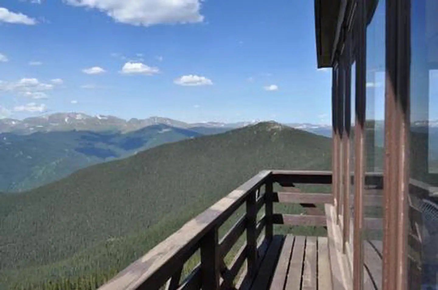
Besides offering the unique experience of staying in a fire lookout, Mestaa’ėhehe Mountain Lookout will provide visitors outstanding panoramic views of the Great Plains, Denver, Mount Blue Sky, Pikes Peak, Longs Peak and other snow-capped peaks.
Recreation
Hiking, wildlife viewing, scenic driving, picnicking, snowshoeing, and cross-country skiing are all easily accessible while staying at the lookout.
Guidebooks for Colorado
We earn a small commission if you buy through these links. It does not change what we list.



Titles come from Open Library's catalog, matched by subject heading or by title.
Reference
Questions people ask
Do I need a reservation at Mestaa’Ėhehe Mountain Fire Lookout?
Sites at Mestaa’Ėhehe Mountain Fire Lookout are reservable on Recreation.gov. Any walk-up sites are listed on the booking page.
Source: Recreation.gov
What time is check-in at Mestaa’Ėhehe Mountain Fire Lookout?
Check-in 3:00 PM, checkout 12:00 PM.
Source: Recreation.gov
How many sites does Mestaa’Ėhehe Mountain Fire Lookout have?
1 site, including 1 lookout.
Source: Recreation.gov
Will my RV fit at Mestaa’Ėhehe Mountain Fire Lookout?
The longest site here provides 20 feet of vehicle capacity. Most sites are shorter. The sidebar tool checks a trailer or motorhome length against every site.
Source: Will my RV fit
Is there cell service at Mestaa’Ėhehe Mountain Fire Lookout?
FCC coverage maps show AT&T 4G LTE and T-Mobile 4G LTE at the campground point. Terrain changes that from one site to the next.
Source: FCC Broadband Map
What is the nearest town to Mestaa’Ėhehe Mountain Fire Lookout?
Idaho Springs, Colorado. Mount Blue Sky Recreation Area, Mount Evans Wilderness Area
Source: Getting there
What if Mestaa’Ėhehe Mountain Fire Lookout is full?
The nearest public campgrounds are Echo Lake (5.7 mi), West Chicago Creek (8.8 mi), and Columbine Campground (9.9 mi).
Source: Campgrounds nearby