Cold Springs
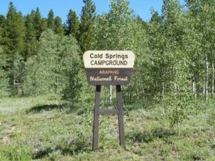
Cold Springs Campground is located on the Arapaho Roosevelt National Forest, north of Blackhawk on the Peak to Peak Scenic Byway/Highway 119, in north central Colorado. Visitors enjoy the area for its scenic and off-road driving, and nearby hiking and fishing opportunities.
More like this: reservable in Colorado · big rigs in Colorado · pets allowed in Colorado
Check availability on Recreation.gov ↗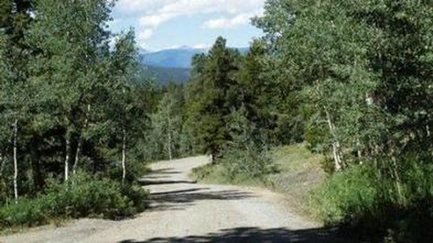

Site mix
| Standard, no hookups | 32 |
| Walk-in | 5 |
| Tent-only | 3 |
| Host/management | 3 |
Site guide
Will my RV fit
The longest site here provides 50 feet of vehicle capacity. Most sites are shorter.
40 sites in 2 loops. Tap a filter to narrow the list; the map follows.
| Site | Loop | Type | Entry | Fits, ft | Surface | People / vehicles | Fires |
|---|---|---|---|---|---|---|---|
| 001 | COLD | Standard | 30 | Gravel | 8 / 1 | ||
| 002 | COLD | Standard | 30 | Gravel | 8 / 1 | ||
| 003 | COLD | Standard | 30 | Gravel | 8 / 1 | ||
| 004 | COLD | Standard | 35 | Gravel | 8 / 1 | ||
| 005 | COLD | Standard | 30 | Gravel | 8 / 1 | ||
| 006 | COLD | Standard | Back-in | 35 | Gravel | 8 / 1 | |
| 007 | COLD | Standard | Back-in | 35 | Gravel | 8 / 1 | |
| 008 | COLD | Standard | Back-in | 35 | Gravel | 8 / 1 | |
| 009 | COLD | Standard | 35 | Gravel | 8 / 1 | ||
| 010 | COLD | Standard | 35 | Gravel | 8 / 1 |
Per-site records as published by the managing agency on Recreation.gov. Blank cells mean the agency listed nothing for that site. Check-in 02:00 PM, checkout 12:00 PM.
Amenities & rules
| Hookups | None |
| Max vehicle length | 50 ft |
| Equipment | RVs & trailers, Tents |
| Pets | Allowed |
There are 38 sites in the campground. Sites 1 through 5 are pull-over's with wooden retaining walls. You climb several steps to reach the picnic tables, fire rings and tent pads. These sites are not suitable for RVs with slide-outs. Sites 9 & 11 are pull-over's which also will not accommodate large RVs or slide-outs. Each site has a picnic table and fire ring or grate. The maximum vehicle length that can be accommodated is 40 feet. Most sites are shaded and the interior roads are gravel. Water hydrants, tent pads, vault toilets and trash service are provided. There is a playground for small children.
Individual sites vary. Confirm on Recreation.gov or with the managing office.
Season & status
| Status | Closed for the season. Forest Service sites close for the season; check the official page for the reopening date. |
| Forest | Arapaho & Roosevelt National Forests Pawnee NG |
| Booking | Make reservations at www.recreation.gov or by calling 1-877-444-6777 |
| Rules | A single site may hold up to eight people. Tents must fit on the pads provided. RVs, trailers or other vehicles must fit on the parking spur. Driving or parking off road is not permitted. The parking length ranges from 25 to 50 feet. Dogs must be on leash. |
Arapaho & Roosevelt National Forests Pawnee NG recreation page ↗
Weather by month
Getting there
From Interstate 25 in Denver, go west on 6th Avenue to State Highway 6, through Clear Creek Canyon. Turn onto State Highway 119, heading toward Black Hawk and Central City. Follow the highway approx. 5 miles north of Black Hawk, to the campground.
| Nearest town | Morrison, Colorado |
| Coordinates | 39.8417° N, 105.4942° W · Directions ↗ |
Charges and cancellations
Customers and contact center agents cannot modify reservations on or after the check-in date.
Fire nearby
- PrescribedHarris Park Broadcast Rx
22 mi from the campground · 390 acres
Distance is to the reported incident point, not the fire edge. Call the managing office before you drive.
Supplies & services
| Dump station | Dump Station ↗ | 3.3 mi |
| Outdoor gear | Clear Creek Outdoors ↗ | 7 mi |
| RV sales & service | RV sales & service ↗ | 17.8 mi |
Locations © OpenStreetMap contributors. Call ahead; hours change seasonally.
Explore
Video
Cold Springs Campground - Arapaho National Forest, CO
Worth a stop
The historic mining town of Central City is nearby. Popular events held in the town include Lou Bunch Day and the Central City Opera and Jazz festivals. Golden Gate Canyon State Park is just seven miles away. The scenic park offers over 35 miles of hiking trails. Mountain biking and horseback riding are allowed on some trails. Every stream and pond in the park is open to fishing.
- 12 mi
- 12.3 miRainbow Lakes Trailhead Day Pass ↗Trailhead
- 13 mi
- 13.9 miEcho Lake Trailhead ↗Trailhead
Public land it sits in
James Peak Wilderness begins about 7.3 miles away, and it is the closest of these.
- 7.3 miJames Peak Wilderness ↗Wilderness · Forest Service · 17,109 acres
- 12.7 miIndian Peaks Wilderness ↗Wilderness · FS/NPS · 77,932 acres
- 13.1 miRocky Flats National Wildlife Refuge ↗National Wildlife Refuge · Fish and Wildlife Service · 5,251 acres
Each unit is published as a centre point and an acreage rather than a boundary, so this section stands it in for a circle of the same area. Whether a campground is inside, and how far it is from one it is outside, are both approximate.
Other campgrounds nearby
Cabin and lookout rentals nearby
Historic landmarks nearby


Natural features
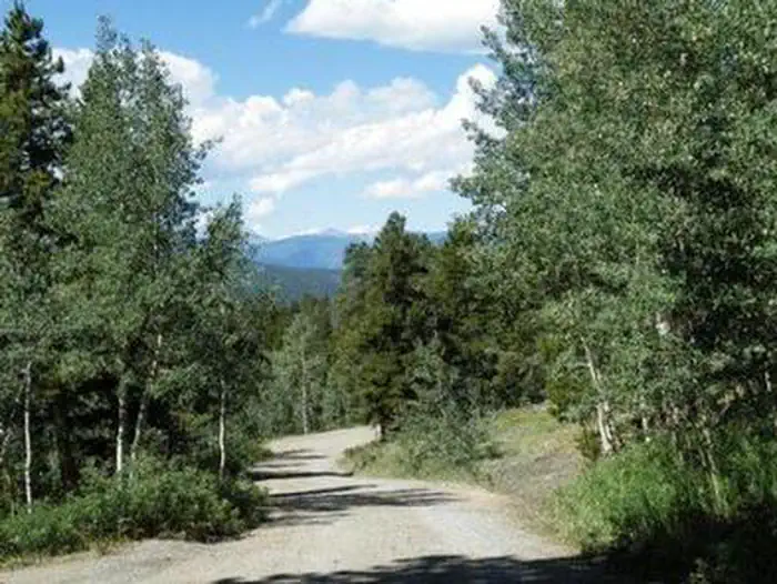
The campground is located in a mountainside aspen and lodgepole pine forest, at an elevation of 9,200 feet.
Recreation
The surrounding area has many great hiking trails. There is an easy hiking trail out of the campground for families with small children. In addition, the short, but steep Vista Trail climbs just a quarter-mile but rewards hikers with spectacular views of the vast Mount Evans Wilderness Area and valley below. Scenic driving is available along Highways 119 and 72, known as the Peak to Peak Scenic Byway. Numerous creeks, rivers and lakes in the area provide fishing opportunities. Off-road enthusiasts will find many jeep roads in the vicinity.
Guidebooks for Colorado
We earn a small commission if you buy through these links. It does not change what we list.



Titles come from Open Library's catalog, matched by subject heading or by title.
Reference
Questions people ask
Do I need a reservation at Cold Springs?
Sites at Cold Springs are reservable on Recreation.gov. Make reservations at www.recreation.gov or by calling 1-877-444-6777 Any walk-up sites are listed on the booking page.
Source: Recreation.gov
What time is check-in at Cold Springs?
Check-in 02:00 PM, checkout 12:00 PM.
Source: Recreation.gov
Is Cold Springs open right now?
Closed for the season as of Oct 16, 2026.
Source: Forest Service status
How many sites does Cold Springs have?
43 sites, including 32 standard sites without power, 5 walk-in sites, and 3 tent-only sites.
Source: Recreation.gov
Will my RV fit at Cold Springs?
The longest site here provides 50 feet of vehicle capacity. Most sites are shorter. The sidebar tool checks a trailer or motorhome length against every site.
Source: Will my RV fit
Are pets allowed at Cold Springs?
Yes, pets are allowed at Cold Springs. Leash rules apply.
Source: Recreation.gov
Is there cell service at Cold Springs?
FCC coverage maps show Verizon 5G, AT&T 5G, and T-Mobile 5G at the campground point. Terrain changes that from one site to the next.
Source: FCC Broadband Map
What is there to do at Cold Springs?
The surrounding area has many great hiking trails. The Recreation section on this page has the rest.
Source: Recreation
What is the nearest town to Cold Springs?
Morrison, Colorado. The historic mining town of Central City is nearby.
Source: Getting there
What if Cold Springs is full?
The nearest public campgrounds are Pickle Gulch (1.5 mi), Columbine Campground (3.6 mi), and Kelly Dahl (6.3 mi, partly first-come).
Source: Campgrounds nearby