Jim Creek Group Campground
Jim Creek Group Campground provides your group with a peaceful camping experience in the Rogue River-Siskiyou National Forest.
More like this: reservable in Oregon · tent only in Oregon · pets allowed in Oregon · group sites in Oregon
Check availability on Recreation.gov ↗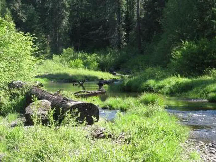
Site mix
| Group tent areas | 1 |
Site guide
1 site. Tap a filter to narrow the list; the map follows.
| Site | Fits, ft | Surface | Shade | Waterfront | People / vehicles | Fires | Rating |
|---|---|---|---|---|---|---|---|
| 1 | 400 | Gravel | Full | Riverfront | 40 / 4 | Yes | Basic |
Per-site records as published by the managing agency on Recreation.gov. Blank cells mean the agency listed nothing for that site. Check-in 1:00 PM, checkout 11:00 AM.
Amenities & rules
| Max vehicle length | 15 ft |
| Equipment | Tents |
| Pets | Allowed |
| Campfires | Allowed, subject to restrictions |
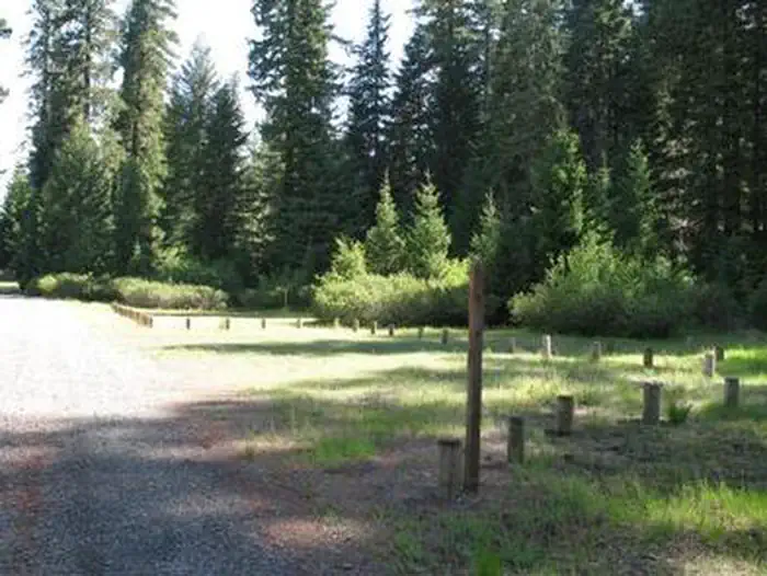
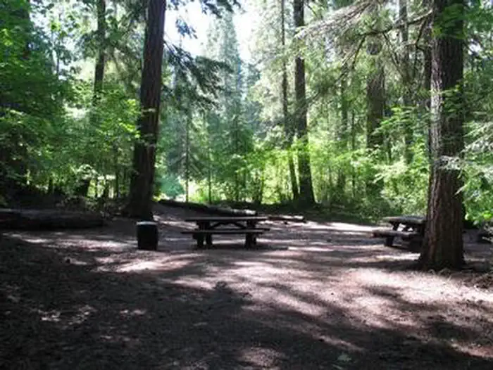
Jim Creek Group Campground is a rustic site with limited amenities. The campground accommodates tents only and up to 40 people. Picnic tables and a campfire ring are available as well as a vault toilet just a short hike down the trail set away from the camp area. No water or garbage service is available.
Individual sites vary. Confirm on Recreation.gov or with the managing office.
Season & status
| Season | May 19 to October 31 |
| Forest | Rogue River-Siskiyou National Forest |
| Fees | $40 for campsite |
| Rules | Quiet hours between 10 p.m. and 6 a.m. Campfires in developed fire pits only. Fireworks are prohibited. Dogs must be on leash. OHV/ATV use prohibited in the campground. Maximum length of stay: 14 days |
Weather by month
Getting there
Travel north on Highway 62 for approximately 6 miles. Turn left on Forest Road 68 for approximately 2 miles. Immediately after crossing the Rogue River, turn left on Forest Road 64 for approximately 0.5 mile. Turn right on Forest Road 6470 for approximately 0.1 mile.
| Nearest town | Butte Falls, Oregon |
| Coordinates | 42.8648° N, 122.5119° W · Directions ↗ |
Fire nearby
- PrescribedRx Long Prairie
21 mi from the campground · 112 acres
- PrescribedRx Cold Springs
33 mi from the campground · 158 acres
Distance is to the reported incident point, not the fire edge. Call the managing office before you drive.
Supplies & services
| Dump station | Mazama Campground Dump Station ↗ | 17.6 mi |
| Outdoor gear | Water World boats ↗ | 36.7 mi |
| RV sales & service | Blue Dog RV of Oregon ↗ | 38.1 mi |
Locations © OpenStreetMap contributors. Call ahead; hours change seasonally.
Explore
Worth a stop
Visit Crater Lake National Park and learn about its unique natural and cultural history. At a depth of 1,943 feet, Crater Lake is the deepest lake in the United States and one of the ten deepest lakes in the world. Experience 172 miles of river and mountain landscapes along the Rogue-Umpqua Scenic Byway. Travel from rolling oak-covered hills and towering coniferous forests, to roaring white water rapids and incised inter-canyon lava flows.
- under 0.1 miJim Creek Picnic Site ↗Day use
- 5.3 miAbbott Butte Trailhead ↗Trailhead
- 8.3 miCougar Butte Trailhead ↗Trailhead
Trails nearby
- 0.2 miRiver Road OHV3.5 mi trail · hiking, horse, bike, motorcycle and 3 more
- 0.4 miJim Creek OHV2.1 mi trail · hiking, horse, bike, motorcycle and 3 more
- 1.1 miElk OHV3.7 mi trail · hiking, horse, bike, motorcycle and 2 more
- 1.1 miPerimeter OHV1.3 mi trail · hiking, horse, bike, motorcycle and 2 more
- 1.3 miWoodruff Pavement OHV3.5 mi trail · hiking, horse, bike, motorcycle and 3 more
- 1.4 miLearners Loop OHV1 mi trail · hiking, horse, bike, motorcycle and 2 more
Trail and trailhead records are the Forest Service's. Distances are straight-line to the nearer trail end. Trail conditions are not tracked here.
Public land it sits in
Umpqua National Forest begins about 1.8 miles away, and it is the closest of these.
- 1.8 miUmpqua National Forest ↗National Forest · Forest Service · 1,035,837 acres
- 9.5 miRogue-Umpqua Divide Wilderness ↗Wilderness · Forest Service · 35,749 acres
- 14.6 miSky Lakes Wilderness ↗Wilderness · Forest Service · 113,571 acres
Each unit is published as a centre point and an acreage rather than a boundary, so this section stands it in for a circle of the same area. Whether a campground is inside, and how far it is from one it is outside, are both approximate.
Other campgrounds nearby


Cabin and lookout rentals nearby
On the National Register nearby
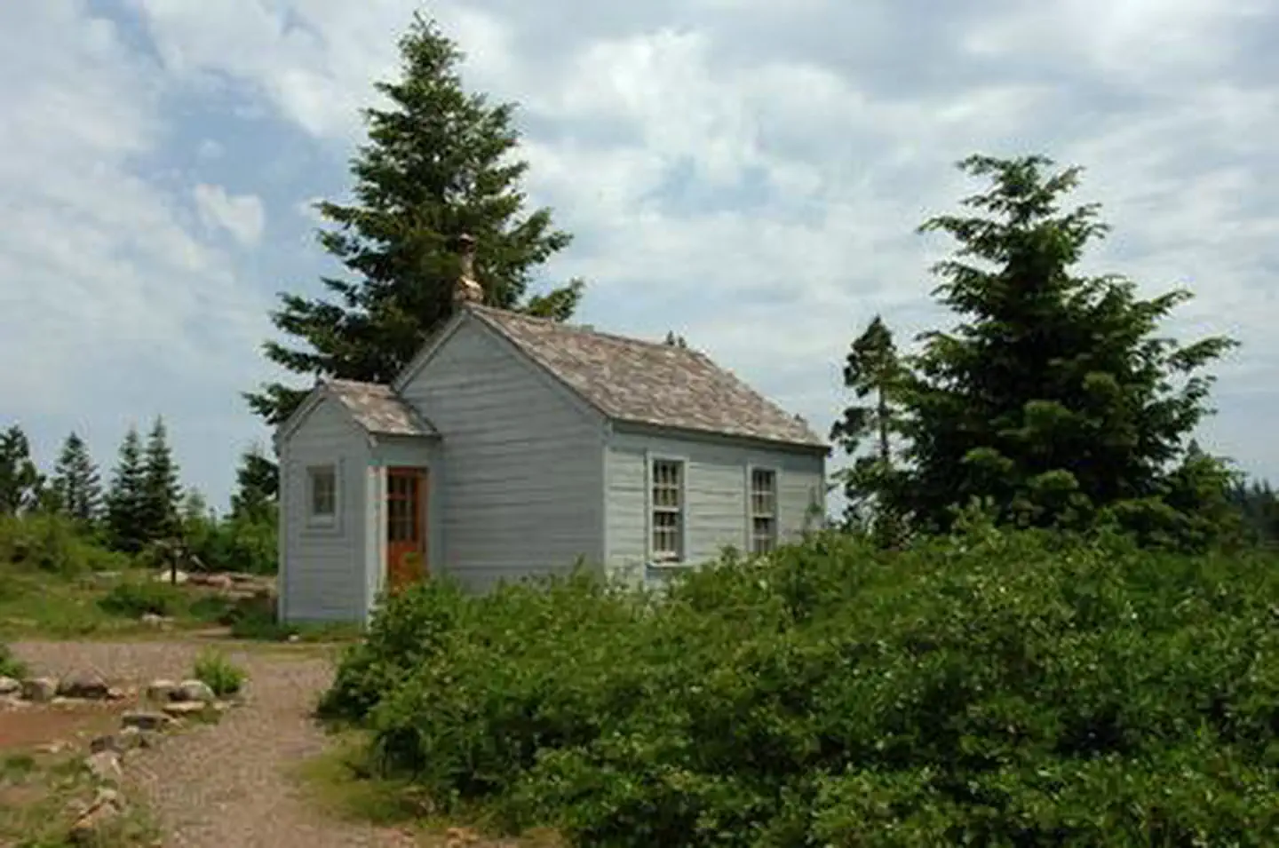
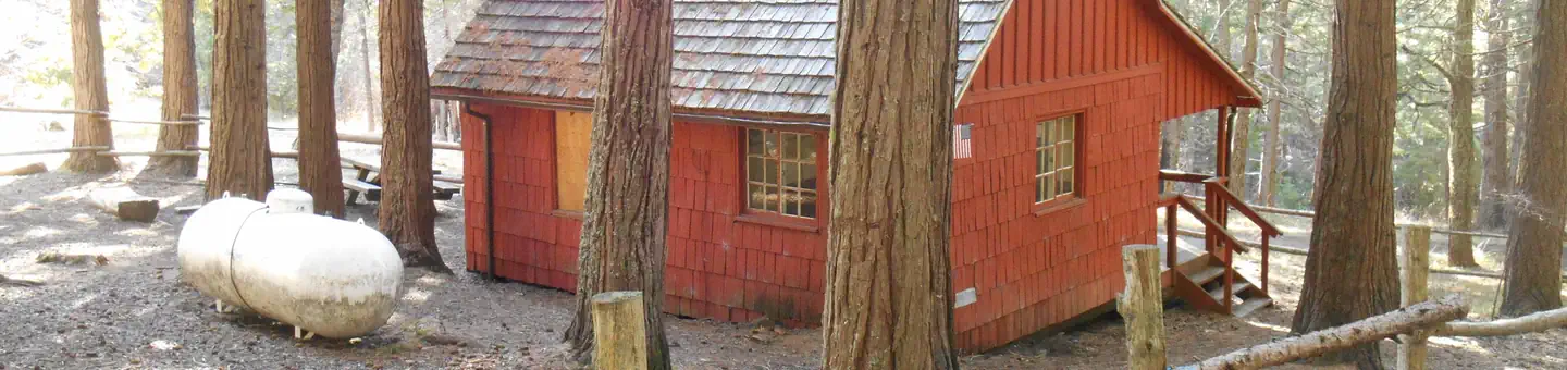
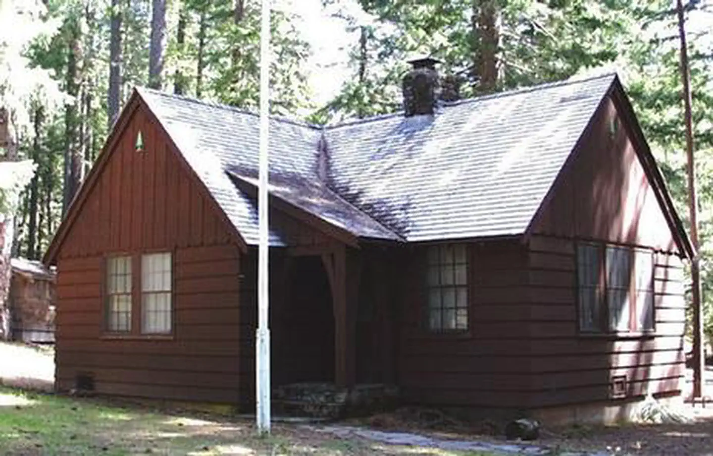
- Whaleback Snow–Survey CabinBuilding · Prospect · 4.7 mi
- Mt. Stella LookoutBuilding · Prospect · 6.3 mi
- Prospect HotelBuilding · Prospect · 8 mi
Natural features
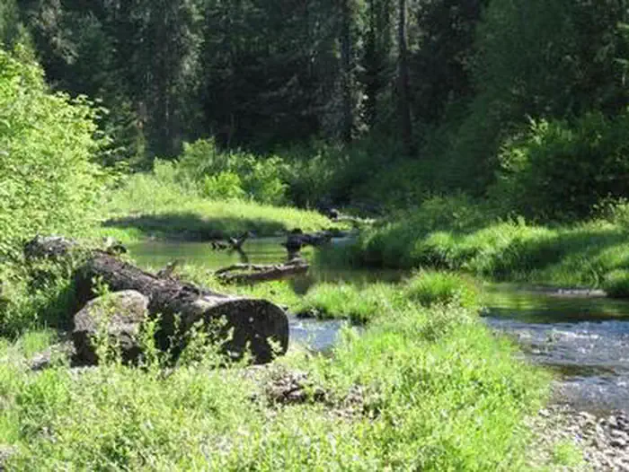
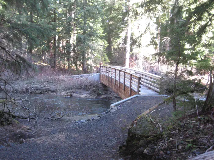
This campground is very secluded and is set in an old growth grove of Douglas-fir trees adjacent to Abbott Creek, a tributary of the Rogue River.
Recreation
Woodruff Bridge picnic area is nearby and provides access to the Upper Rogue River Trail. The Upper Rogue River Trail (USFS #1034) mostly parallels the Rogue River for about 47 miles from near the river’s headwaters at Boundary Springs in Crater Lake National Park to the North Fork Dam outside Prospect, Oregon. A managed off-highway vehicle (OHV) trail system with two play areas and an OHV friendly campground are within a few minutes drive of this group campground.
Guidebooks for Oregon
We earn a small commission if you buy through these links. It does not change what we list.

Titles come from Open Library's catalog, matched by subject heading or by title.
Reference
Questions people ask
Do I need a reservation at Jim Creek Group Campground?
Sites at Jim Creek Group Campground are reservable on Recreation.gov. Any walk-up sites are listed on the booking page.
Source: Recreation.gov
How much does it cost to camp at Jim Creek Group Campground?
$40 for campsite
Source: Recreation.gov
What time is check-in at Jim Creek Group Campground?
Check-in 1:00 PM, checkout 11:00 AM.
Source: Recreation.gov
How many sites does Jim Creek Group Campground have?
1 site, including 1 group tent area.
Source: Recreation.gov
Will my RV fit at Jim Creek Group Campground?
The longest site here provides 15 feet of vehicle capacity. Most sites are shorter. The sidebar tool checks a trailer or motorhome length against every site.
Source: Will my RV fit
Are pets allowed at Jim Creek Group Campground?
Yes, pets are allowed at Jim Creek Group Campground. Leash rules apply.
Source: Recreation.gov
Can I have a campfire at Jim Creek Group Campground?
Fires are allowed in the provided rings under normal conditions. As of 2026-10-16, there are 2 active fires within 50 miles, so check current restrictions before you light one. Quiet hours between 10 p.m.
Source: Fire nearby
What is there to do at Jim Creek Group Campground?
Woodruff Bridge picnic area is nearby and provides access to the Upper Rogue River Trail. The Recreation section on this page has the rest.
Source: Recreation
What is the nearest town to Jim Creek Group Campground?
Butte Falls, Oregon. Visit Crater Lake National Park and learn about its unique natural and cultural history.
Source: Getting there
What if Jim Creek Group Campground is full?
The nearest public campgrounds are Abbott Creek Campground (1.2 mi, first-come), Natural Bridge Campground (3.1 mi, first-come), and River Bridge Campground (3.1 mi, first-come).
Source: Campgrounds nearby