Malad Summit Guard Station
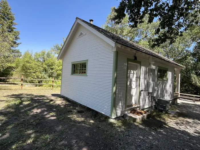
Malad Summit Guard Station is located 14 miles north of Malad, Idaho on Malad Pass just off I-15. The rustic one-room cabin is in a forested setting in narrow Mill Creek Drainage, and offers a secluded retreat on fenced acreage surrounded by scenic high country views. The original guard station was established in 1908, but was replaced by the existing cabin in 1934. The cabin is accessible by car when there is no snow. Guests should be prepared in snowy conditions to ski, snowshoe or snowmobile half a mile from the plowed road to reach the cabin. The guard station offers many amenities for a comfortable stay, but fewer conveniences are available in winter.
Check availability on Recreation.gov ↗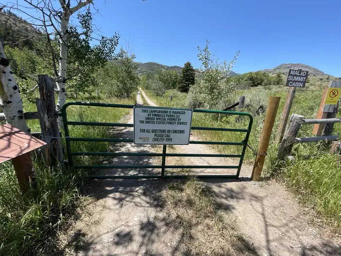
Site mix
| Cabins with electric | 1 |
Site guide
1 site. Tap a filter to narrow the list; the map follows.
| Site | Surface | Shade | People / vehicles | Fires |
|---|---|---|---|---|
| 01 | Gravel | Full | 15 / 4 | Yes |
Per-site records as published by the managing agency on Recreation.gov. Blank cells mean the agency listed nothing for that site. Check-in 2:00 PM, checkout 12:00 PM.
Amenities & rules
| Max vehicle length | 50 ft |
| Pets | Allowed |
| Campfires | Allowed, subject to restrictions |
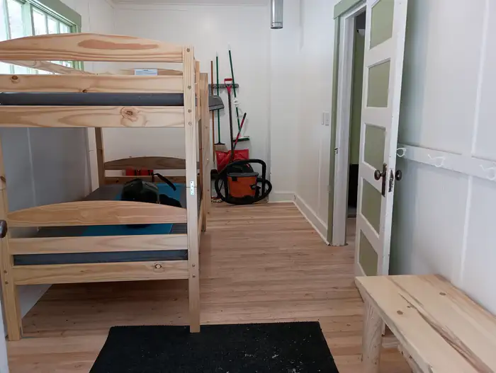
Malad Summit Guard Station is located near Mill Creek. The cabin can sleep six people on the three bunkbeds provided. Amenities include three bunkbeds with mattresses, a wood stove, table with four chairs, a broom and dustpan, vacuum, cook prep area, and sink. Electrical appliances include space heater, lights, and induction stove. A single vault toilet, campfire ring, grill, lantern post, and picnic tables are located outside the cabin. Parking can accommodate up to three RVs. The cabin's water is shut off late September to May. Winter guests need to bring their own water. When snow accumulation doesn't allow for vehicles to access the cabin via Forest Road 041, cabin renters can park at the overnight winter parking area past the cattle guard at the USFS boundary. Cabin renters should not park on private property before the cattle guard. The overnight parking area is signed and can accommodate up to 4 vehicles. Renters can hike, snowshoe, cross-country ski, or snowmobile to Malad Summit Guard Station. Guests may find limited dishes and cookware.
Individual sites vary. Confirm on Recreation.gov or with the managing office.
Weather by month
Getting there
Malad Guard Station is located 11 miles north of Malad, ID. On 1-15, take Exit 22 (Devil Creek Reservoir). Go north on N. Old Highway 191 for 3.5 miles. Turn left on E11000N/Forest Road 041 and cross over the interstate, drive 1.3 miles. At the bend keep right and continue on Forest Road 041 road for another mile.
| Nearest town | Pocatello, Idaho |
| Coordinates | 42.3511° N, 112.2644° W · Directions ↗ |
Good to know
- Forest road 041 is not maintained/plowed in the winter months.
Supplies & services
| RV sales & service | RV sales & service ↗ | 27.9 mi |
| Dump station | Pocatello's public and free dump station and drinking water ↗ | 35.4 mi |
| Outdoor gear | Pocatello Running Company ↗ | 36.6 mi |
Locations © OpenStreetMap contributors. Call ahead; hours change seasonally.
Explore
Trails nearby
- 0.1 miWright Creek Nat. Recreation T ↗7.2 mi trail · hiking, horse, bike, motorcycle and 2 more
- 0.2 miSummit to Rowley Canyon2.7 mi trail · hiking, horse, bike, motorcycle and 2 more
- 0.3 miSummit to Station Canyon3.2 mi trail · hiking, horse, bike, motorcycle and 2 more
- 0.7 miSouth Canyon Loop4 mi trail · hiking, horse, bike, motorcycle and 2 more
- 0.7 miWright Creek to Rowley Canyon0.5 mi trail · hiking, horse, bike, motorcycle and 2 more
- 1.5 miMill Canyon ↗4.5 mi trail · hiking, horse, bike, motorcycle and 2 more
Trail and trailhead records are the Forest Service's. Distances are straight-line to the nearer trail end. Trail conditions are not tracked here.
Other campgrounds nearby


On the National Register nearby
- Jedd Jones HouseBuilding · Malad City · 11.1 mi
- D. L. Evans Sr., BungalowBuilding · Malad City · 11.2 mi
- Co-Op Block and J. N. Ireland BankBuilding · Malad City · 11.4 mi
Natural features
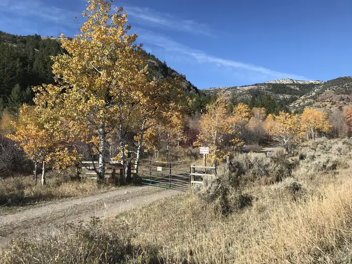
The rustic single-room cabin is tucked into a deciduous and conifer forest at an elevation of around 6,000 feet. Mill Creek meanders through the site. The front porch invites guests to sit and enjoy views of the forest and possible wildlife sightings. Black bears, wolves, elk, moose, mule deer, bison, grizzly bears, mountain lions and pronghorn are some of the species native to the area ( bear safety tips ).
Recreation
The surrounding area offers a variety of recreational activities. Trails are provided for hikers, mountain bikers, horseback riders and off-road vehicles ( Idaho OHV safety message ). Anglers can fish for small brook trout in Mill Creek. Hunting for game and game birds is another popular pastime.
Guidebooks for Idaho
We earn a small commission if you buy through these links. It does not change what we list.

Titles come from Open Library's catalog, matched by subject heading or by title.
Reference
Questions people ask
Do I need a reservation at Malad Summit Guard Station?
Sites at Malad Summit Guard Station are reservable on Recreation.gov. Any walk-up sites are listed on the booking page.
Source: Recreation.gov
What time is check-in at Malad Summit Guard Station?
Check-in 2:00 PM, checkout 12:00 PM.
Source: Recreation.gov
How many sites does Malad Summit Guard Station have?
1 site, including 1 cabin with power.
Source: Recreation.gov
Will my RV fit at Malad Summit Guard Station?
The longest site here provides 50 feet of vehicle capacity. Most sites are shorter. The sidebar tool checks a trailer or motorhome length against every site.
Source: Will my RV fit
Are pets allowed at Malad Summit Guard Station?
Yes, pets are allowed at Malad Summit Guard Station. Leash rules apply.
Source: Recreation.gov
Can I have a campfire at Malad Summit Guard Station?
Fires are allowed in the provided rings under normal conditions.
Source: Recreation.gov
Is there cell service at Malad Summit Guard Station?
FCC coverage maps show AT&T 4G LTE at the campground point. Terrain changes that from one site to the next.
Source: FCC Broadband Map
What is there to do at Malad Summit Guard Station?
The surrounding area offers a variety of recreational activities. The Recreation section on this page has the rest.
Source: Recreation
What is the nearest town to Malad Summit Guard Station?
Pocatello, Idaho.
Source: Getting there
What if Malad Summit Guard Station is full?
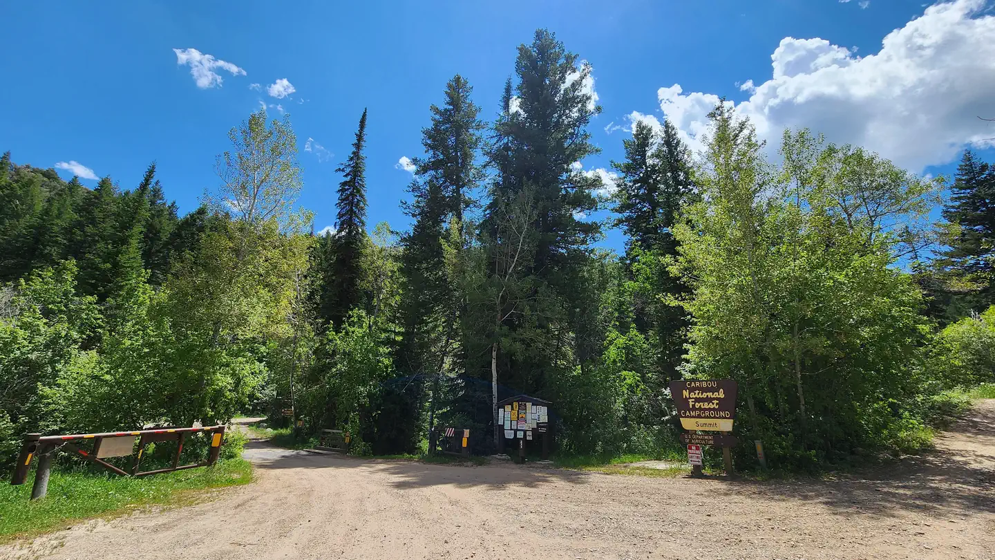
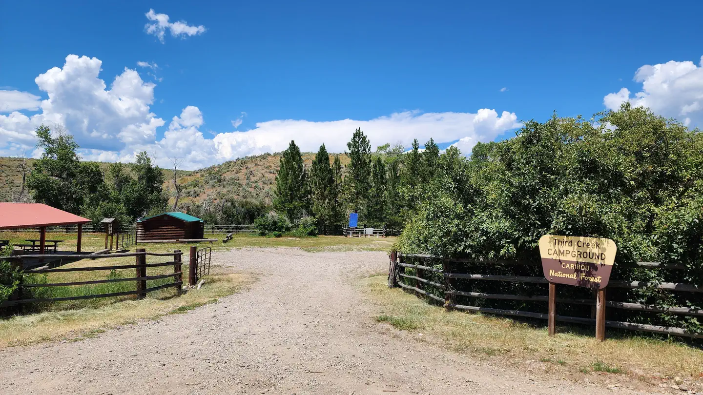
The nearest public campgrounds are Malad Summit Campground (0.6 mi, partly first-come), Hawkins Reservoir Campground (11.6 mi, first-come), and Third Creek Group Site (13.2 mi).
Source: Campgrounds nearby