Malad Summit Campground
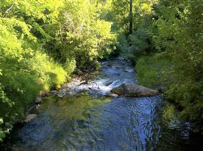
Malad Summit Campground is situated next to Mill Creek, just 14 miles north of Malad, Idaho, at an elevation of 6,100 feet. Visitors enjoy hiking, horseback riding and off-road vehicle riding on the area's many trails.
Some sites take reservations on Recreation.gov. Others are first-come, first-served.
More like this: first-come in Idaho · reservable in Idaho · big rigs in Idaho · pets allowed in Idaho · group sites in Idaho
Check availability on Recreation.gov ↗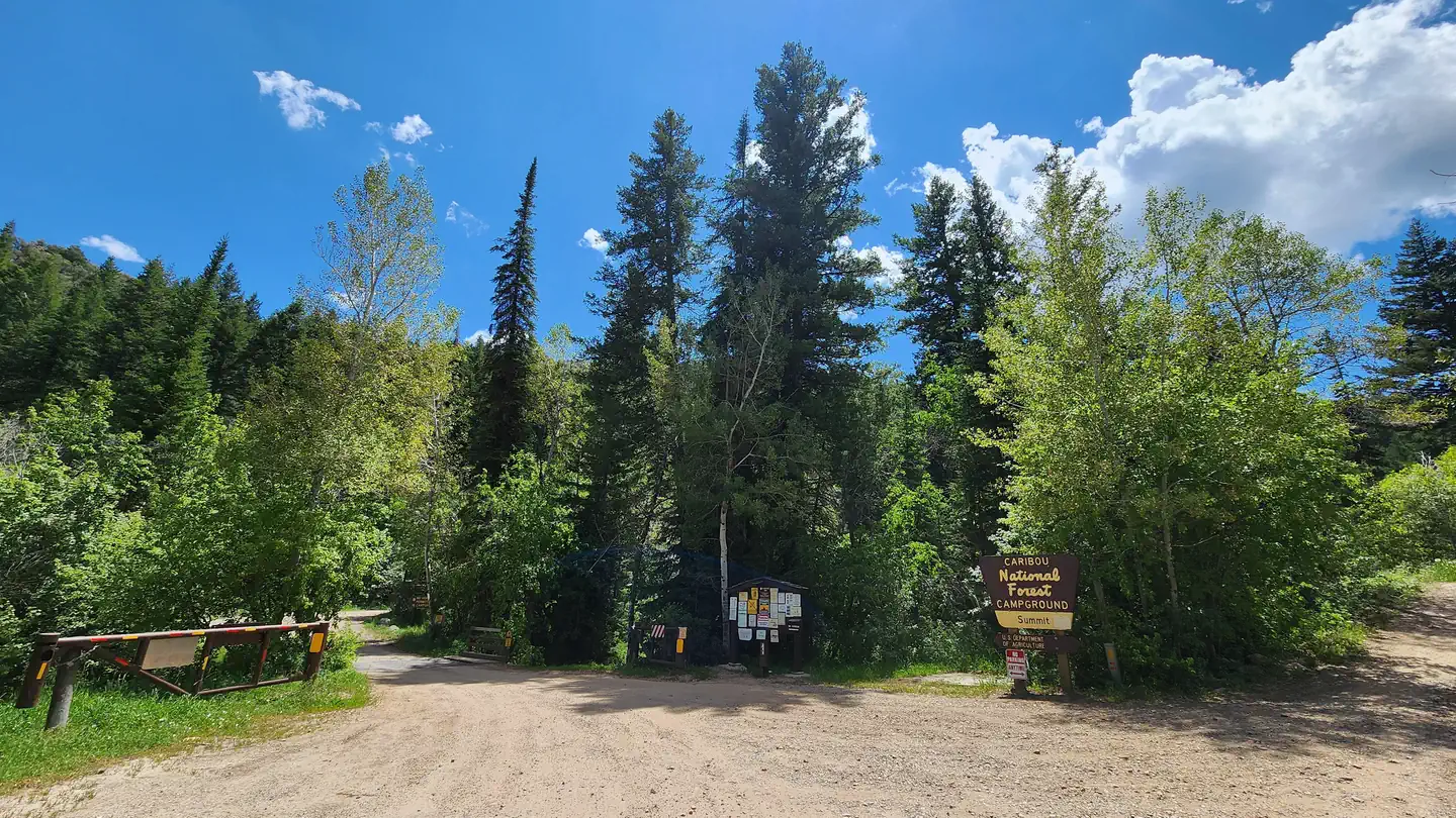
Site mix
| Standard, no hookups | 5 |
| Group sites | 1 |
| Host/management | 2 |
Site guide
Will my RV fit
The longest site here provides 60 feet of vehicle capacity. Most sites are shorter.
6 sites. Tap a filter to narrow the list; the map follows.
| Site | Type | Entry | Fits, ft | Surface | Shade | Water / sewer | People / vehicles | Fires | Accessible |
|---|---|---|---|---|---|---|---|---|---|
| 002 | Standard | Pull-through | 45 | Gravel | Full | 8 / 1 | Yes | ||
| 004 | Standard | Back-in | 30 | Gravel | Full | 8 / 1 | Yes | ||
| 006 | Standard | Pull-through | 45 | Gravel | Partial | 8 / 1 | Yes | ||
| 008 | Standard | Back-in | 60 | Gravel | Full | 8 / 1 | Yes | Yes | |
| 011 | Standard | Back-in | 50 | Gravel | Partial | No / – | 16 / 2 | Yes | Yes |
| 013 | Group | Pull-through | Gravel | Full | No / – | 125 / 25 | Yes | Yes |
Per-site records as published by the managing agency on Recreation.gov. Blank cells mean the agency listed nothing for that site. Check-in 2:00 PM, checkout 12:00 PM.
Amenities & rules
| Hookups | None |
| Max vehicle length | 125 ft |
| Equipment | RVs & trailers, Tents |
| Pets | Allowed |
| Campfires | Allowed, subject to restrictions |
| Accessibility | Sites 008, 011, 013 are listed accessible |
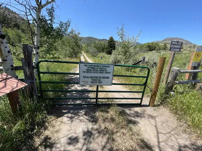
The campground is open year-round and contains one large group site that can accommodate up to 125 people. It is equipped with large picnic tables, a serving table, a grill, a campfire ring with benches, tent pads and a gravel parking area. The campground has first-come, first-serve campsites and reservable campsites. Visitors can first check with the campground host for available campsites. Single-family campsites and one double site campsite are also available within the campground. Each campsite is equipped with a table, campfire ring, and grill. Vault toilets and drinking water are provided. Roads and parking spurs within the campground are gravel. Security is provided by the host and periodic patrols by the county sheriff. Malad Summit Campground is managed by Pinnacle Parks Llc under a special use permit with the Caribou-Targhee National Forest.
Individual sites vary. Confirm on Recreation.gov or with the managing office.
Season & status
| Status | Closed for the season. Forest Service sites close for the season; check the official page for the reopening date. |
| Forest | Caribou-Targhee National Forest |
| Booking | This site can be reserved by calling Toll Free 1-877-444-6777 (International 518-885-3639 or TDD 877-833-6777) or on-line at http://www.recreation.gov |
| Fees | For current fees, please go to Recreation.gov |
| Rules | ATV's or ORV's are allowed on designated trails only. No riding in campground. All pets must be on a leash. All equipment must fit on the site pad. No horses allowed. |
Weather by month
Getting there
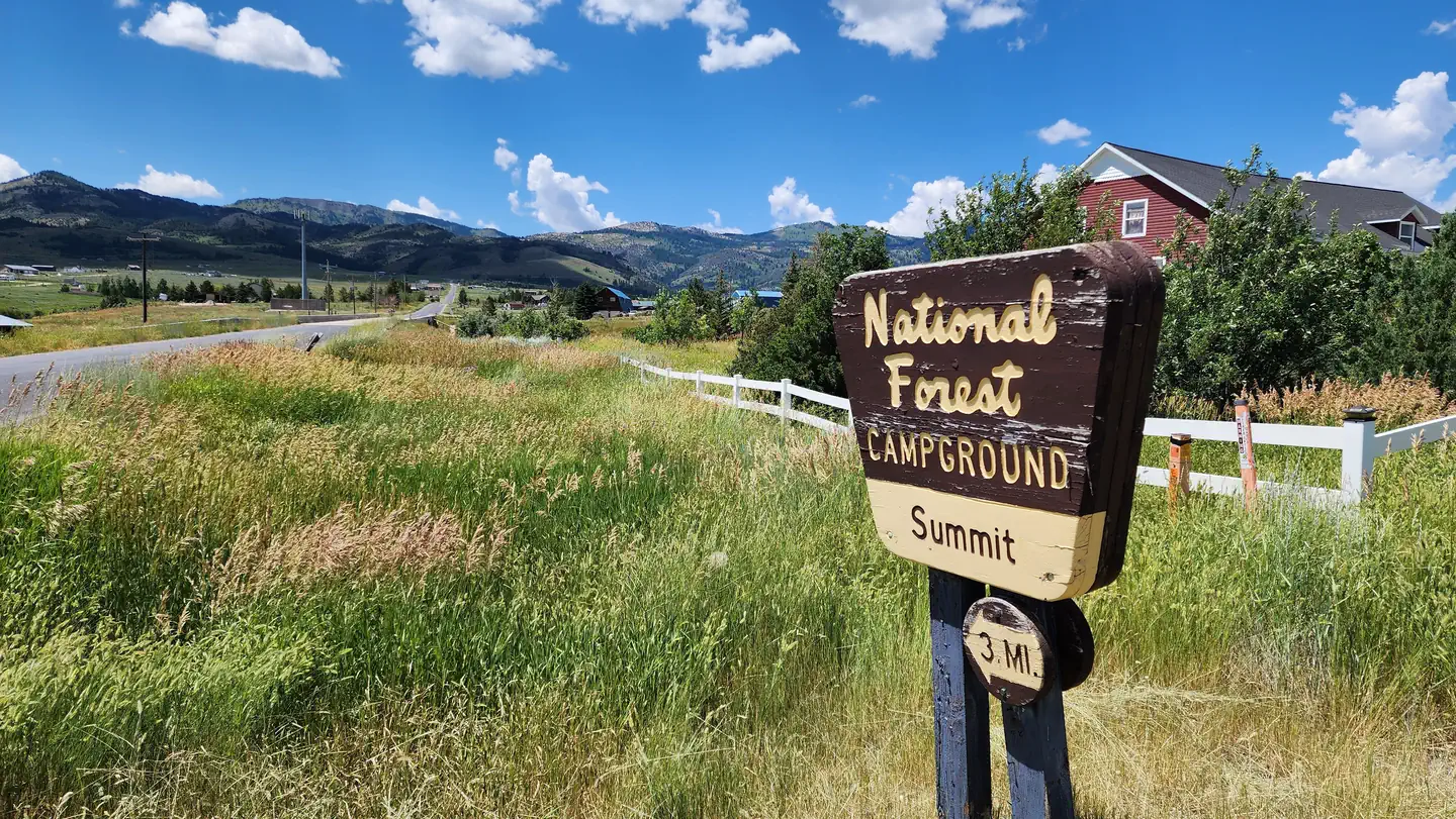
From Malad, travel north on Interstate 15 for 11 miles, to exit 22, Devil Creek Reservoir. Continue just over 3 miles north on Highway 191. Turn west and cross the highway on Forest Road 041 and continue just over 3 miles on a maintained gravel road, to the campground.
| Nearest town | Pocatello, Idaho |
| Coordinates | 42.3503° N, 112.2758° W · Directions ↗ |
Good to know
- If the campground host is not available, visitors must check if the campsite is occupied, and if available pay at the fee tube.
Supplies & services
| RV sales & service | RV sales & service ↗ | 28.2 mi |
| Dump station | Pocatello's public and free dump station and drinking water ↗ | 35.4 mi |
| Outdoor gear | Pocatello Running Company ↗ | 36.5 mi |
Locations © OpenStreetMap contributors. Call ahead; hours change seasonally.
Explore
Trails nearby
- 0.4 miSummit to Rowley Canyon2.7 mi trail · hiking, horse, bike, motorcycle and 2 more
- 0.5 miWright Creek Nat. Recreation T ↗7.2 mi trail · hiking, horse, bike, motorcycle and 2 more
- 0.6 miWright Creek to Rowley Canyon0.5 mi trail · hiking, horse, bike, motorcycle and 2 more
- 0.8 miSummit to Station Canyon3.2 mi trail · hiking, horse, bike, motorcycle and 2 more
- 0.9 miMill Canyon ↗4.5 mi trail · hiking, horse, bike, motorcycle and 2 more
- 0.9 miSouth Canyon Loop4 mi trail · hiking, horse, bike, motorcycle and 2 more
Trail and trailhead records are the Forest Service's. Distances are straight-line to the nearer trail end. Trail conditions are not tracked here.
Other campgrounds nearby



Cabin and lookout rentals nearby
On the National Register nearby
- Jedd Jones HouseBuilding · Malad City · 11.1 mi
- D. L. Evans Sr., BungalowBuilding · Malad City · 11.2 mi
- Co-Op Block and J. N. Ireland BankBuilding · Malad City · 11.4 mi
Natural features
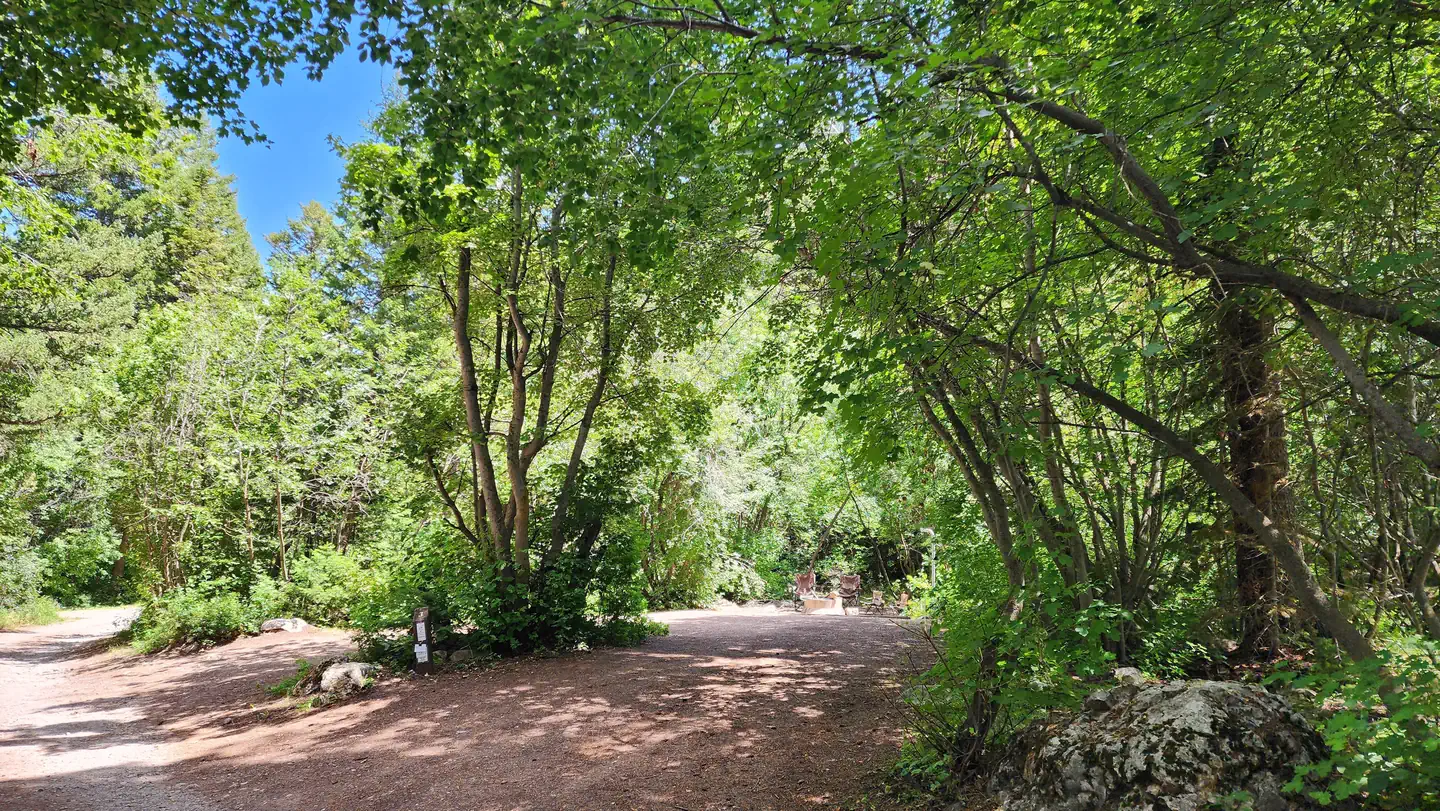
The campground is settled in a dense forest of maple trees, which offer plentiful shade. Stately Douglas fir trees dot the landscape. The campground receives snow throughout the winter.
Recreation
Mill Creek offers cutthroat and rainbow trout fishing. Numerous trails begin nearby, including the 12-mile multi-use Summit Trail, which connects with Farmers Canyon, East Elkhorn and Wright Creek trails. Old Canyon and South Canyon trails begin a short distance from the campground.
Guidebooks for Idaho
We earn a small commission if you buy through these links. It does not change what we list.

Titles come from Open Library's catalog, matched by subject heading or by title.
Reference
Questions people ask
Do I need a reservation at Malad Summit Campground?
For some sites. Some sites take reservations on Recreation.gov. Others are first-come, first-served.
Source: Recreation.gov
How much does it cost to camp at Malad Summit Campground?
For current fees, please go to Recreation.gov
Source: Recreation.gov
What time is check-in at Malad Summit Campground?
Check-in 2:00 PM, checkout 12:00 PM.
Source: Recreation.gov
Is Malad Summit Campground open right now?
Closed for the season as of Oct 16, 2026.
Source: Forest Service status
How many sites does Malad Summit Campground have?
8 sites, including 5 standard sites without power and 1 group site.
Source: Recreation.gov
Will my RV fit at Malad Summit Campground?
Recreation.gov lists no practical vehicle capacity limit for the largest site here, which usually means pull-through or open parking. The sidebar tool checks a trailer or motorhome length against every site.
Source: Will my RV fit
Are pets allowed at Malad Summit Campground?
Yes, pets are allowed at Malad Summit Campground. Leash rules apply.
Source: Recreation.gov
Can I have a campfire at Malad Summit Campground?
Fires are allowed in the provided rings under normal conditions. ATV's or ORV's are allowed on designated trails only.
Source: Recreation.gov
Are there accessible sites at Malad Summit Campground?
Sites 008, 011, and 013 are listed accessible on Recreation.gov. What that covers (a paved pad, an accessible table, a nearby accessible restroom) is on each site's booking page.
Source: Recreation.gov
Is there cell service at Malad Summit Campground?
FCC coverage maps show AT&T 4G LTE at the campground point. Terrain changes that from one site to the next.
Source: FCC Broadband Map
What is there to do at Malad Summit Campground?
Mill Creek offers cutthroat and rainbow trout fishing. The Recreation section on this page has the rest.
Source: Recreation
What is the nearest town to Malad Summit Campground?
Pocatello, Idaho.
Source: Getting there