Ansel Watrous
Ansel Watrous Campground is located on the Cache la Poudre River, 22 miles northwest of Fort Collins, Colo. along Highway 14. Visitors enjoy the area for its great rafting, fishing and hiking opportunities.
More like this: reservable in Colorado · big rigs in Colorado · pets allowed in Colorado
Check availability on Recreation.gov ↗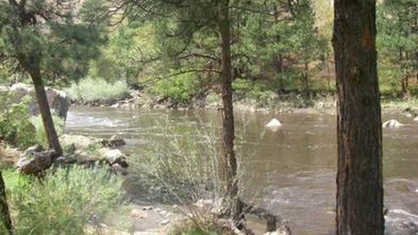
Site mix
| Standard, no hookups | 13 |
| Walk-in | 3 |
| Tent-only | 1 |
Site guide
Will my RV fit
The longest site here provides 40 feet of vehicle capacity. Most sites are shorter.
17 sites in 2 loops. Tap a filter to narrow the list; the map follows.
| Site | Loop | Type | Entry | Fits, ft | Surface | Shade | People / vehicles | Accessible |
|---|---|---|---|---|---|---|---|---|
| 011 | LOWER | Standard | Back-in | 33 | Gravel | Partial | 8 / 1 | Yes |
| 012 | LOWER | Standard | Back-in | 30 | Gravel | 8 / 1 | Yes | |
| 013 | LOWER | Standard | Back-in | 33 | Gravel | Partial | 8 / 1 | Yes |
| 014 | LOWER | Tent only | Back-in | Gravel | 8 / 1 | |||
| 015 | LOWER | Standard | Back-in | 33 | Gravel | 8 / 1 | Yes | |
| 016 | LOWER | Standard | Back-in | 33 | Gravel | 8 / 1 | Yes | |
| 017 | LOWER | Standard | Back-in | 33 | Paved | 8 / 1 | Yes | |
| 001 | UPPER | Standard | Back-in | 36 | Gravel | Full | 8 / 1 | Yes |
| 002 | UPPER | Standard | Back-in | 40 | Gravel | Full | 8 / 1 | Yes |
| 003 | UPPER | Standard | Back-in | 40 | Gravel | Full | 8 / 1 | Yes |
Per-site records as published by the managing agency on Recreation.gov. Blank cells mean the agency listed nothing for that site. Check-in 2:00 PM, checkout 12:00 PM.
Amenities & rules
| Hookups | None |
| Max vehicle length | 40 ft |
| Equipment | RVs & trailers, Tents |
| Pets | Allowed |
| Accessibility | Sites 011, 012, 013, 015 and 9 more are listed accessible |
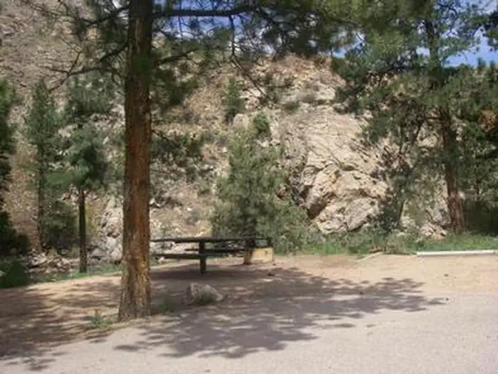
The campground offers accessible single-family sites, each equipped with a 12-by-15 tent pad, a picnic table and a campfire ring with grill. Vault toilets and drinking water are provided. Dead and downed firewood may be gathered in the forest or purchased from the campground host.
Individual sites vary. Confirm on Recreation.gov or with the managing office.
Season & status
| Status | Open |
| Forest | Arapaho & Roosevelt National Forests Pawnee NG |
| Booking | Reservations are accepted at all campsites. Make your reservations at www.recreation.gov or by calling 1-877-444-6777 as early as 6 months in advance and at least 4 days prior to arrival. |
| Fees | Fees are discounted 25% when water is off. Interagency Senior, Interagency Access, Golden Age and Golden Access passes provide cardholders half-price for basic campground fees. |
| Rules | A single site may hold up to eight people. Tents must fit on the pads provided. RVs, trailers or other vehicles must fit on the parking spur because driving or parking off road is not permitted. The parking length ranges from 25 to 45 feet in upper loop. In the lower loop RV size is limited to an overall length of 30 feet. |
Arapaho & Roosevelt National Forests Pawnee NG recreation page ↗
Weather by month
Getting there
From Fort Collins, take Highway 14 northwest for 13 miles.
| Nearest town | Morrison, Colorado |
| Coordinates | 40.6897° N, 105.3492° W · Directions ↗ |
Charges and cancellations
A $10.00 service fee will apply if you change or cancel your reservation. Late cancellations are subject to additional fees. Customers and contact center agents cannot modify reservations on or after the check-in date.
Fire nearby
- PrescribedMagic Feather Broadcast Rx
11 mi from the campground
Distance is to the reported incident point, not the fire edge. Call the managing office before you drive.
Supplies & services
| Outdoor gear | JAX Fort Collins Outdoor Gear ↗ | 15.6 mi |
| RV sales & service | Colorado Mountain RV ↗ | 23.5 mi |
| Dump station | Dump station ↗ | 23.8 mi |
Locations © OpenStreetMap contributors. Call ahead; hours change seasonally.
Explore
Video
Ansel Watrous Campground Review
Worth a stop
- 6.1 miMt. Mcconnel Trailhead Day Pass ↗Trailhead
- 6.1 mi
- 9.2 miBennett Creek Picnic Site ↗Day use
- 10.1 miIndian Meadows Fishing Site ↗Fishing site
- 10.3 miJacks Gulch Trailhead ↗Trailhead
Trails nearby
- 0.1 miYoung Gulch ↗5.3 mi trail · hiking, horse, bike
- 2 miHewlett Gulch ↗6.5 mi trail · hiking, horse, bike
- 2.8 miGreyrock Meadows2.8 mi trail · hiking
- 3.4 miGreyrock ↗3.2 mi trail · hiking · national_recreation_or_other
Trailheads within three miles
- 2.1 miHewlett Gulch Trailhead (#954) ↗Arapaho & Roosevelt National Forests Pawnee NG
Trail and trailhead records are the Forest Service's. Distances are straight-line to the nearer trail end. Trail conditions are not tracked here.
Public land it sits in
Cache La Poudre Wilderness begins about 3.4 miles away, and it is the closest of these.
- 3.4 miCache La Poudre Wilderness ↗Wilderness · Forest Service · 9,482 acres
- 12.3 miComanche Peak Wilderness ↗Wilderness · Forest Service · 68,025 acres
Each unit is published as a centre point and an acreage rather than a boundary, so this section stands it in for a circle of the same area. Whether a campground is inside, and how far it is from one it is outside, are both approximate.
Other campgrounds nearby


Cabin and lookout rentals nearby

Historic landmarks nearby

Natural features
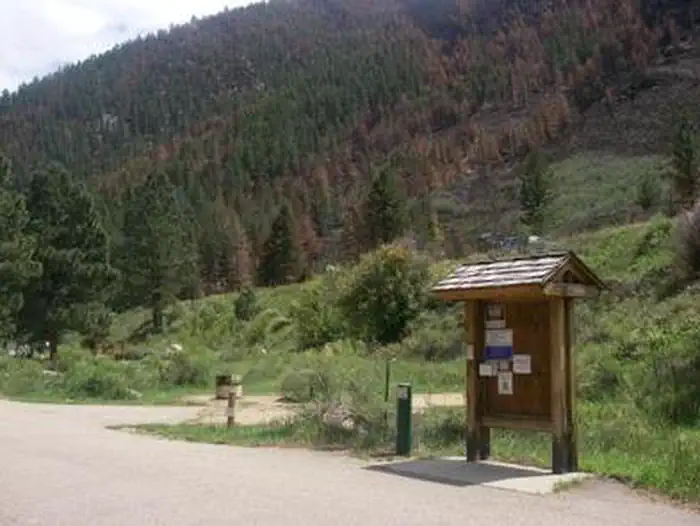
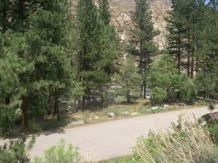
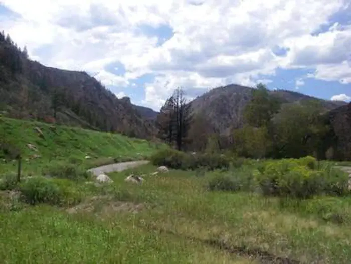
The canyon's vegetation varies from dense forests to open meadows and the campground is surrounded by steep mountains. The campground is situated among Ponderosa pines on the banks of the Cache la Poudre River, Colorado's first river designated as a National Wild and Scenic River.
Recreation
The Cache la Poudre River offers whitewater rafting and fishing. Anglers cast for brown, cutthroat and rainbow trout, among other species of fish. Hiking, biking and horseback riding trails are in the surrounding area, including the 4-mile Young Gulch Trail. Other popular activities enjoyed by visitors to the campground include birding and wildlife viewing.
Guidebooks for Colorado
We earn a small commission if you buy through these links. It does not change what we list.



Titles come from Open Library's catalog, matched by subject heading or by title.
Reference
Questions people ask
Do I need a reservation at Ansel Watrous?
Sites at Ansel Watrous are reservable on Recreation.gov. Reservations are accepted at all campsites. Any walk-up sites are listed on the booking page.
Source: Recreation.gov
How much does it cost to camp at Ansel Watrous?
Fees are discounted 25% when water is off. Interagency Senior, Interagency Access, Golden Age and Golden Access passes provide cardholders half-price for basic campground fees.
Source: Recreation.gov
What time is check-in at Ansel Watrous?
Check-in 2:00 PM, checkout 12:00 PM.
Source: Recreation.gov
What does it cost to cancel a reservation at Ansel Watrous?
A $10.00 service fee will apply if you change or cancel your reservation.
Source: Charges and cancellations
Is Ansel Watrous open right now?
Open as of Oct 16, 2026.
Source: Forest Service status
How many sites does Ansel Watrous have?
17 sites, including 13 standard sites without power, 3 walk-in sites, and 1 tent-only site.
Source: Recreation.gov
Will my RV fit at Ansel Watrous?
The longest site here provides 40 feet of vehicle capacity. Most sites are shorter. The sidebar tool checks a trailer or motorhome length against every site.
Source: Will my RV fit
Are pets allowed at Ansel Watrous?
Yes, pets are allowed at Ansel Watrous. Leash rules apply.
Source: Recreation.gov
Are there accessible sites at Ansel Watrous?
Sites 011, 012, 013, and 015 are listed accessible on Recreation.gov, 13 sites in all. What that covers (a paved pad, an accessible table, a nearby accessible restroom) is on each site's booking page.
Source: Recreation.gov
What is there to do at Ansel Watrous?
The Cache la Poudre River offers whitewater rafting and fishing. The Recreation section on this page has the rest.
Source: Recreation
What is the nearest town to Ansel Watrous?
Morrison, Colorado.
Source: Getting there
What if Ansel Watrous is full?
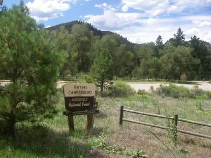
The nearest public campgrounds are Stove Prairie (2.5 mi), Narrows (4.3 mi), and Dutch George Campground (5.2 mi, first-come).
Source: Campgrounds nearby