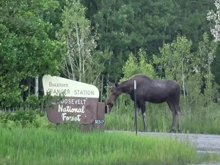
Buckhorn Ranger Station
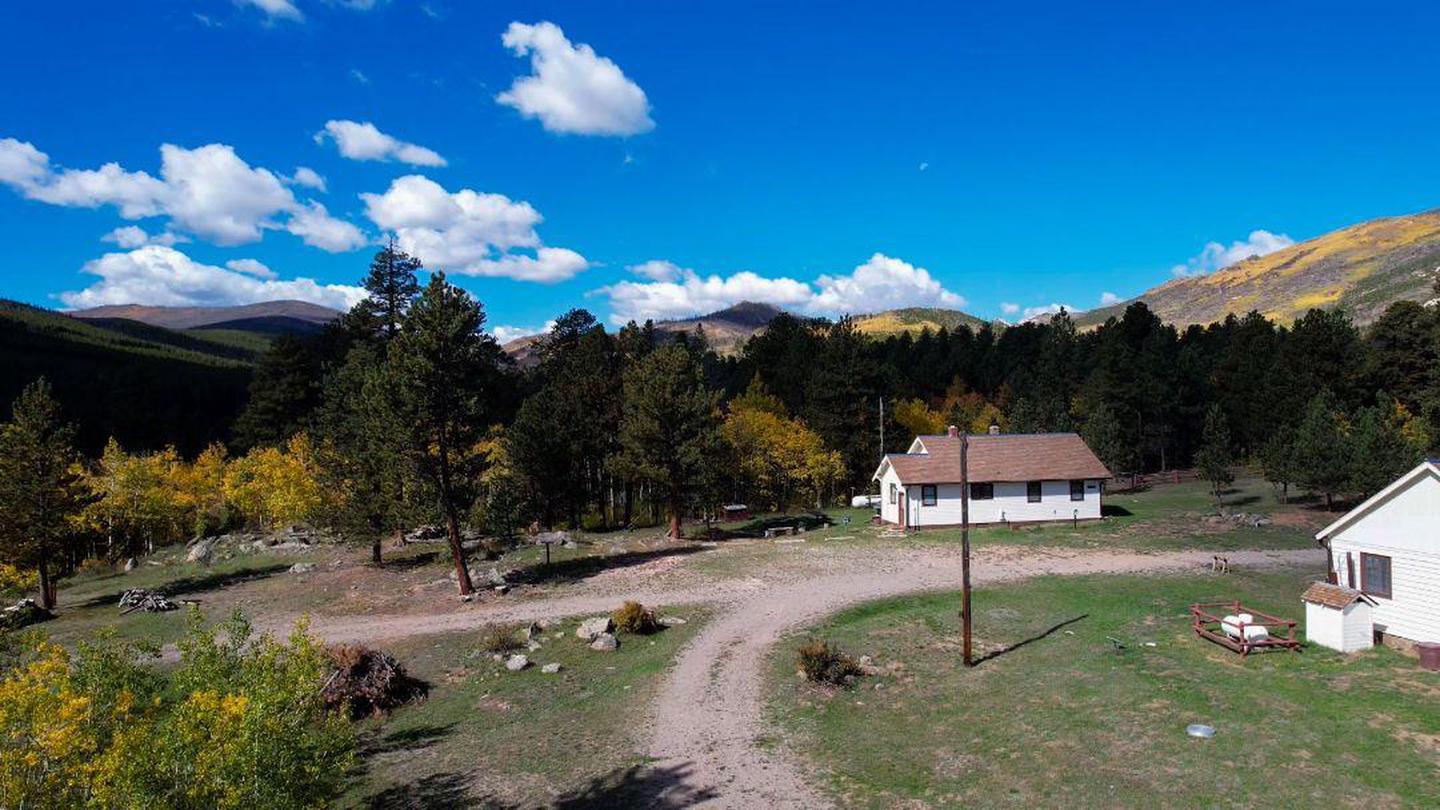
The Buckhorn Ranger Station has three cabins, an office and large garage. In August 2022, the Buckhorn Ranger Station was listed in the National Register of Historic Places. The Buckhorn Ranger Cabin was built in 1933 by the Civilian Conservation Corps. Guests need to bring bedding, including pillows, blankets and/or sleeping bags, as well as towels, toiletry items, and food and beverages. Cooking pots, table and chairs, dishes, and utensils are provided. The Ranger Cabin is a fully-furnished two-bedroom cabin with indoor plumbing and electricity. It can accommodate up to six people and has two single beds in one bedroom, a queen bed in the second bedroom and a futon in the living room.
Check availability on Recreation.gov ↗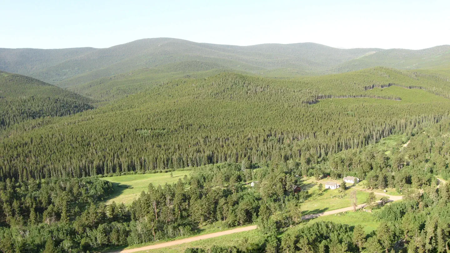
Site mix
| Cabins with electric | 3 |
Site guide
3 sites. Tap a filter to narrow the list; the map follows.
| Site | Shade | People / vehicles | Fires | Pets | Accessible | Rating |
|---|---|---|---|---|---|---|
| Buckhorn Bunkhouse (0503) | Partial | 4 / 3 | Yes | Yes | Prime | |
| Buckhorn Ranger Cabin (Fullen Kamp) | Partial | 6 / 4 | Yes | No | Standard | |
| Buckhorn Assistant Ranger Cabin (0502) | Partial | 4 / 3 | Yes | No | Prime |
Per-site records as published by the managing agency on Recreation.gov. Blank cells mean the agency listed nothing for that site. Check-in 3:00 PM, checkout 10:00 AM.
Amenities & rules
| Campfires | Allowed, subject to restrictions |
| Accessibility | Site Buckhorn Bunkhouse (0503) is listed accessible |
Beyond the specific cabin details above, the overall facility has a two fire pits, a horseshoe court and charcoal grills.
Individual sites vary. Confirm on Recreation.gov or with the managing office.
Weather by month
Getting there
The site is located on the south and north sides of Larimer County Road 44H (Buckhorn Road) 22 miles west of Masonville, Colorado, in the Roosevelt National Forest. The site is 165’ east of the intersection of Forest Service Road 100, 11.6 miles west of the intersection of Buckhorn Road and Stove Prairie Road (just past mile marker 32 if driving…
| Nearest town | Bellevue, Colorado |
| Coordinates | 40.5808° N, 105.4686° W · Directions ↗ |
Fire nearby
- PrescribedMagic Feather Broadcast Rx
12 mi from the campground
Distance is to the reported incident point, not the fire edge. Call the managing office before you drive.
Supplies & services
| Outdoor gear | Kirks Mountain Adventures ↗ | 14.4 mi |
| Dump station | Dump station ↗ | 15.6 mi |
| RV sales & service | Manhattan RV & Trailer ↗ | 24.1 mi |
Locations © OpenStreetMap contributors. Call ahead; hours change seasonally.
Explore
Worth a stop
The Golden Eagle Disc Golf Course is locate just across Larimer County Road 44H. The Danner Trail is located just west of the site Pennock pass is located three miles west of the site.
- 4 miFish Creek Picnic Site ↗Day use
- 4.7 mi
- 5 miJacks Gulch Trailhead ↗Trailhead
- 5.9 miBennett Creek Picnic Site ↗Day use
- 9 miIndian Meadows Fishing Site ↗Fishing site
- 12.6 miBig Thompson River Fishing Site ↗Fishing site
Trails nearby
- 0.1 miDanner Pass ↗9.8 mi trail · hiking, horse, bike, motorcycle and 1 more
- 3.3 miLookout Mountain Summit0.5 mi trail · hiking, horse, bike
- 3.8 miLookout Mountain ↗8.4 mi trail · hiking, horse, bike, motorcycle and 1 more
- 4 miFish Creek ↗6.6 mi trail · hiking, horse, bike
- 4.5 miSouth Signal Mountain4 mi trail · hiking, horse
- 4.5 miSignal Mountain ↗5.7 mi trail · hiking, horse
Trail and trailhead records are the Forest Service's. Distances are straight-line to the nearer trail end. Trail conditions are not tracked here.
Public land it sits in
Cache La Poudre Wilderness begins about 3.5 miles away, and it is the closest of these.
- 3.5 miCache La Poudre Wilderness ↗Wilderness · Forest Service · 9,482 acres
- 4.5 miComanche Peak Wilderness ↗Wilderness · Forest Service · 68,025 acres
- 8.5 miRocky Mountain National Park Wilderness ↗Wilderness · National Park Service · 249,126 acres
Each unit is published as a centre point and an acreage rather than a boundary, so this section stands it in for a circle of the same area. Whether a campground is inside, and how far it is from one it is outside, are both approximate.
Other campgrounds nearby



Cabin and lookout rentals nearby

Historic landmarks nearby

Natural features
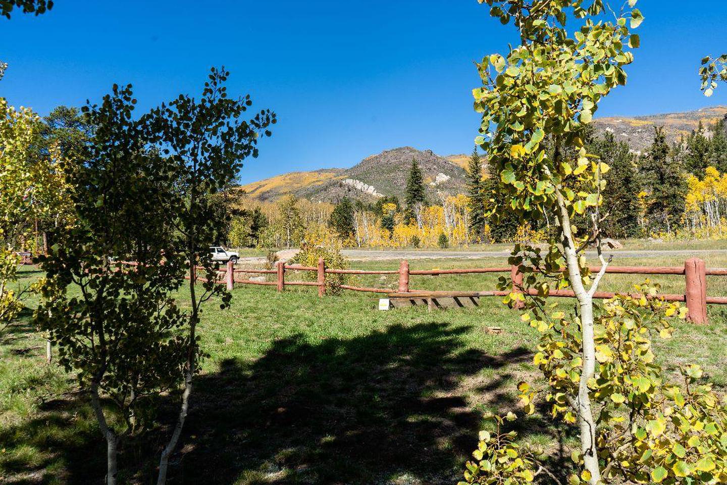
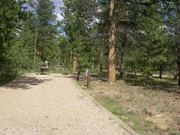
The Buckhorn Ranger Station is located on a large broad open terrace in the narrow Buckhorn Canyon just off Box Elder Creek, a tributary of Buckhorn Creek. West and East White Pine Mountains are located to the north, Lookout Mountain and Crystal Mountain are located to the south and Pingree Pass and the Mummy Range are located to the west.
Recreation
Danner Hill Trail (AKA Donner Pass Trail) is located just north of the site and heads to the south towards Lookout Mountain. Forest Road 100 (West White Pine Road) heads north of the site to the original location of the West White Pine Fire Lookout that was relocated by helicopter to Fort Collins, Colorado. The area is popular for biking, hiking, OHV and motorized riding, hunting, and scenic drives.
Guidebooks for Colorado
We earn a small commission if you buy through these links. It does not change what we list.



Titles come from Open Library's catalog, matched by subject heading or by title.
Reference
Questions people ask
Do I need a reservation at Buckhorn Ranger Station?
Sites at Buckhorn Ranger Station are reservable on Recreation.gov. Any walk-up sites are listed on the booking page.
Source: Recreation.gov
What time is check-in at Buckhorn Ranger Station?
Check-in 3:00 PM, checkout 10:00 AM.
Source: Recreation.gov
How many sites does Buckhorn Ranger Station have?
3 sites, including 3 cabins with power.
Source: Recreation.gov
Can I have a campfire at Buckhorn Ranger Station?
Fires are allowed in the provided rings under normal conditions. As of 2026-10-16, there is 1 active fire within 50 miles, so check current restrictions before you light one.
Source: Fire nearby
Are there accessible sites at Buckhorn Ranger Station?
Site Buckhorn Bunkhouse (0503) is listed accessible on Recreation.gov. What that covers (a paved pad, an accessible table, a nearby accessible restroom) is on each site's booking page.
Source: Recreation.gov
What is there to do at Buckhorn Ranger Station?
Danner Hill Trail (AKA Donner Pass Trail) is located just north of the site and heads to the south towards Lookout Mountain. The Recreation section on this page has the rest.
Source: Recreation
What is the nearest town to Buckhorn Ranger Station?
Bellevue, Colorado. The Golden Eagle Disc Golf Course is locate just across Larimer County Road 44H.
Source: Getting there
What if Buckhorn Ranger Station is full?
The nearest public campgrounds are Jacks Gulch (4.9 mi, partly first-come), Tom Bennett Campground (6 mi, first-come), and Kelly Flats Campground (6.9 mi, first-come).
Source: Campgrounds nearby