Markham Springs
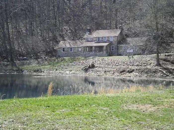
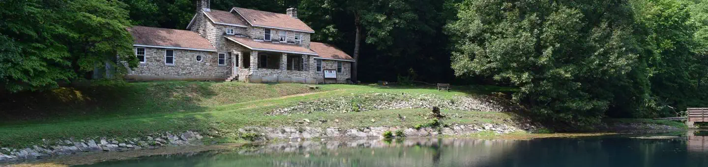
Markham Springs Campground is set on the Black River in a scenic and historic recreation area in the southwestern corner of Missouri's Mark Twain National Forest. The area provides access to multiple trails and recreational opportunities. Markham Springs Recreation Area gets its name from former owner, M. J. Markham, who acquired the property in 1901 and operated a lumber mill at the site until the 1930s. The Fuchs House, a five-bedroom concrete and native stone home, also sits on the property, along with a neighboring mill. At times, it is also available for rent.
Some sites take reservations. Others are first-come, first-served.
More like this: electric hookups in Missouri · first-come in Missouri · reservable in Missouri · pets allowed in Missouri · group sites in Missouri
Check availability on Recreation.gov ↗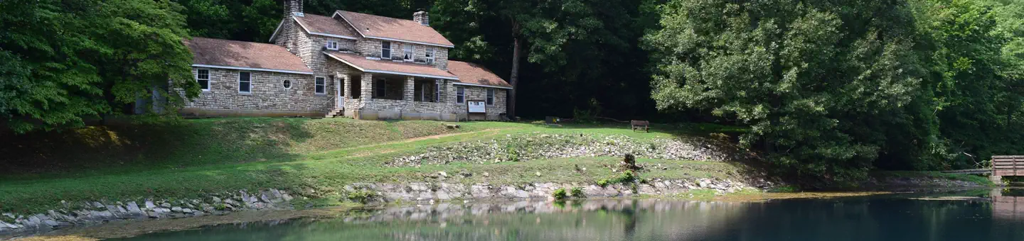
Site mix
| Standard, no hookups | 20 |
| RV with electric | 12 |
| group shelter electric | 1 |
Site guide
33 sites in 4 loops. Tap a filter to narrow the list; the map follows.
| Site | Loop | Type | Entry | Fits, ft | Surface | Shade | Power | People / vehicles | Fires | Accessible | Rating |
|---|---|---|---|---|---|---|---|---|---|---|---|
| Pavilion | Group Shelter Electric | No | 50 / – | ||||||||
| 21 | Birch | RV electric | Pull-through | 60 | Gravel | 50 amp | 8 / 2 | Yes | Yes | Standard | |
| 22 | Birch | RV electric | Pull-through | 60 | Gravel | 50 amp | 16 / 4 | Yes | Yes | Standard | |
| 23 | Birch | RV electric | Back-in | 60 | Gravel | 50 amp | 8 / 4 | Yes | Yes | Standard | |
| 24 | Birch | RV electric | Back-in | 30 | Gravel | Partial | No | 8 / 2 | Yes | Standard | |
| 25 | Birch | RV electric | Pull-through | 60 | Gravel | Partial | 50 amp | 8 / 2 | Yes | Yes | Standard |
| 26 | Birch | RV electric | Back-in | 60 | Gravel | Partial | 50 amp | 8 / 2 | Yes | Yes | Standard |
| 27 | Birch | RV electric | Pull-through | 60 | Gravel | Partial | 50 amp | 16 / 4 | Yes | Yes | Standard |
| 28 | Birch | RV electric | Back-in | 60 | Gravel | Partial | 50 amp | 8 / 2 | Yes | Yes | Standard |
| 29 | Birch | RV electric | Back-in | 60 | Gravel | Partial | 50 amp | 16 / 4 | Yes | Yes | Standard |
Per-site records as published by the managing agency on Recreation.gov. Blank cells mean the agency listed nothing for that site.
Amenities & rules
| Hookups | Electric |
| Equipment | RVs & trailers, Tents |
| Pets | Allowed |
| Campfires | Allowed, subject to restrictions |
| Accessibility | Sites 21, 22, 23, 25 and 7 more are listed accessible |
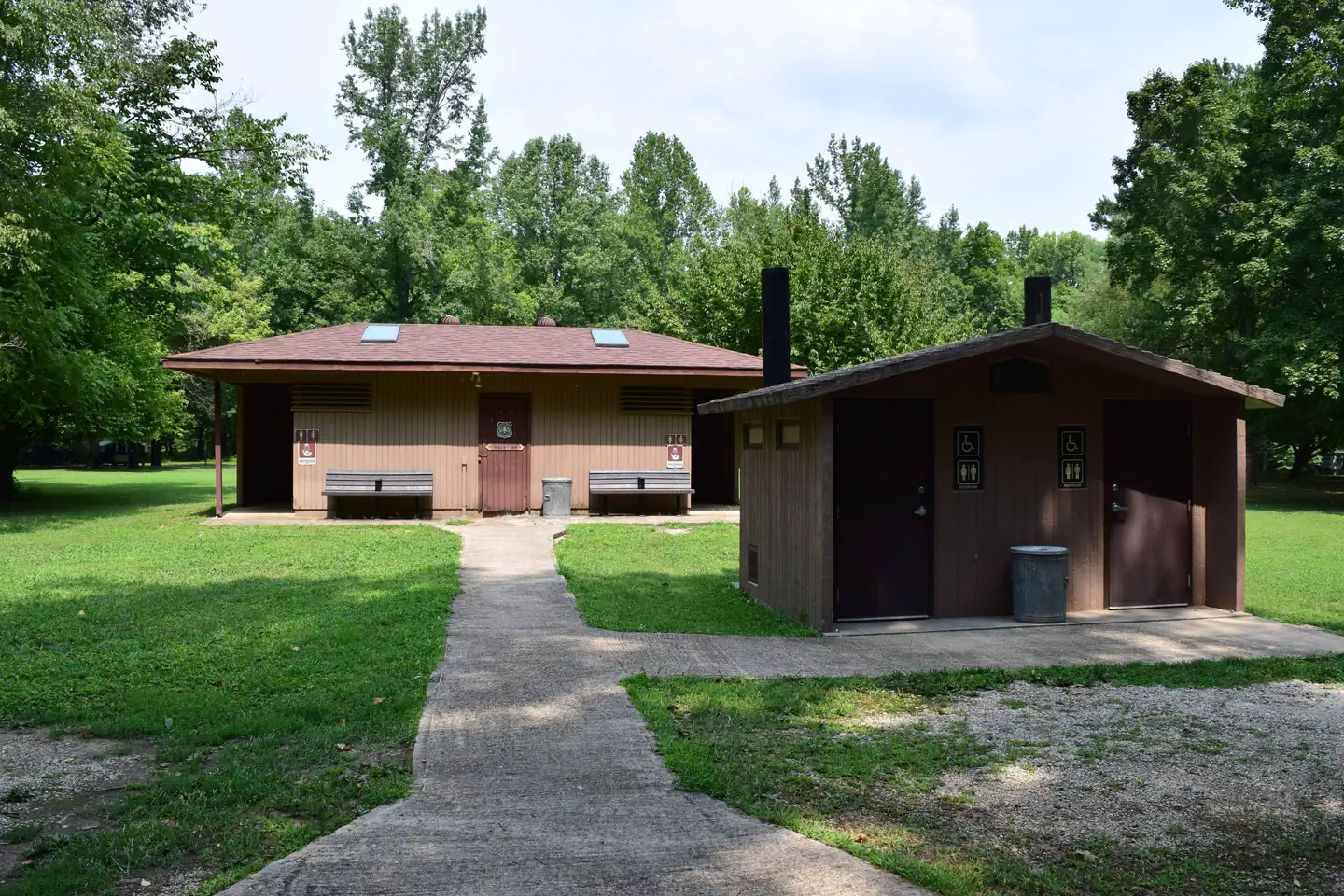
The campground offers single and double sites for tent and RV camping. Some rather primitive sites are located in a wooded setting near the river. Electric hookups are provided, as well as tables and campfire rings with grills. Lantern posts are also available. Accessible vault toilets, drinking water, showers and trash collection are provided.
Individual sites vary. Confirm on Recreation.gov or with the managing office.
Season & status
| Status | Temporarily closed |
| Forest | Mark Twain National Forest |
| Booking | Some campground sites are first come, first served. Reservation needed Campground and Picnic Shelter - Campground - From May 1 to Labor Day. Group Picnic Shelter - From May 1 to Labor Day. |
| Fees | Campsites: Single Nonelectric - $10. Double Nonelectric - $20. Single Electric - $17. Double Electric - $34. Day Use: Per vehicle - $5/day. Group picnic pavilion is $50/day (50 people). There is a 50% discount for camping for anyone with an Interagency Access or Senior Pass. |
| Rules | No OHVs/ATvs/UTVs are allowed to operate within this Recreation Area. No fireworks. Firearms should be kept in a tent or vehicle. Showers are for campers only. Maximum of 2 vehicles and/or 8 persons at a single site, and 16 persons at a double site. No swimming in the pond. |
Weather by month
Getting there
From Poplar Bluff, take Highway 67 north for 14 miles, then drive west on Highway 49 for 9 miles (about 3 miles past the town of Williamsville). Take the first right after crossing the Black River to enter Markham Springs Recreation Area.
| Nearest town | Williamsville, Missouri |
| Coordinates | 36.9733° N, 90.6017° W · Directions ↗ |
Supplies & services
| Dump station | Dump station ↗ | 15 mi |
| Outdoor gear | Alley Spring Store ↗ | 47.8 mi |
Locations © OpenStreetMap contributors. Call ahead; hours change seasonally.
Explore
Video
Markham Spring, Markham Spring And Campground review video
Worth a stop
The small town of Williamsville is just 3 miles from the campground, offering a general store and fuel station.
- 8.6 miHendrickson Boat Launch ↗Boat launch
- 10.8 miHolliday Landing Marina ↗Boat launch
- 12.4 mi
- 13.3 miChaonia Day Use ↗Day use
Trails nearby
- 0.3 miBubble Springs Trail0.06 mi trail · hiking, bike
- 0.3 miCanebrake Trail0.3 mi trail · hiking, bike
- 0.4 miEagle Bluff Trail1.5 mi trail · hiking, bike
- 3.2 miUpalika Pond TH Spur0.4 mi trail · hiking, horse, bike
Trail and trailhead records are the Forest Service's. Distances are straight-line to the nearer trail end. Trail conditions are not tracked here.
Public land it sits in
This campground sits inside Mark Twain National Forest.
- inMark Twain National Forest ↗National Forest · Forest Service · 3,069,958 acres
Each unit is published as a centre point and an acreage rather than a boundary, so this section stands it in for a circle of the same area. Whether a campground is inside, and how far it is from one it is outside, are both approximate.
Other campgrounds nearby
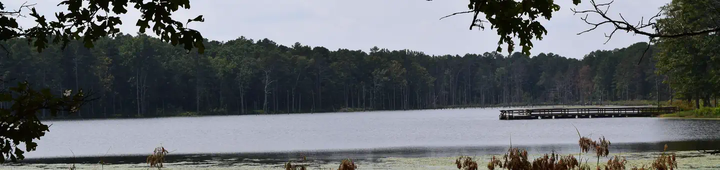
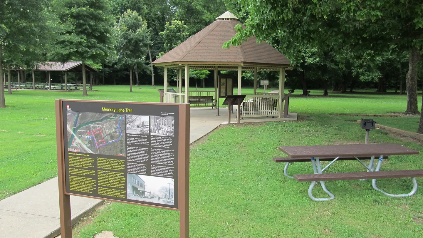
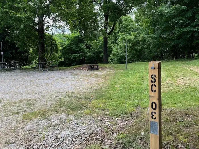
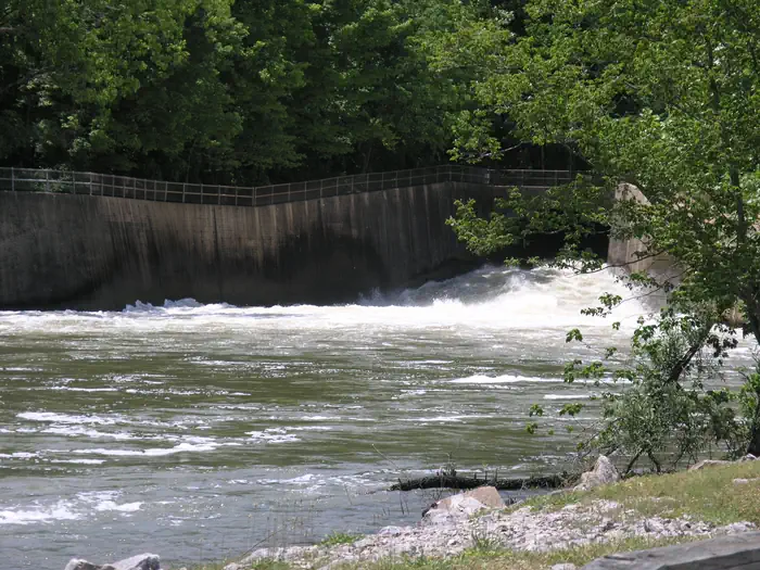
Cabin and lookout rentals nearby
On the National Register nearby
- Fort BentonStructure · Patterson · 14.8 mi
Natural features
Located adjacent to the Black River, the recreation area contains a small pond that dates back to the 1800s. The area is covered by a dense forest of colorful trees, including ash, elm, maple and poplar.
Recreation
River and stream fishing are popular activities near the campground. The Black River boasts bass, sunfish, walleye and catfish. Many anglers fish from boats, but others fish from the riverbanks. Canoeing and kayaking is also possible on the river. Various day hikes within the Markham Springs Trail System are accessible from the campground. Eagle Bluff Trail is a 1.5-mile loop along the river, where birding and wildlife viewing are favorite pastimes.
Guidebooks for Missouri
We earn a small commission if you buy through these links. It does not change what we list.
Titles come from Open Library's catalog, matched by subject heading or by title.
Reference
Questions people ask
Do I need a reservation at Markham Springs?
For some sites. Some sites take reservations. Others are first-come, first-served.
Source: Recreation.gov
How much does it cost to camp at Markham Springs?
Campsites: Single Nonelectric - $10. Double Nonelectric - $20. Single Electric - $17.
Source: Recreation.gov
What time is check-in at Markham Springs?
Check-in 2:00 PM, checkout 12:00 PM.
Source: Recreation.gov
Is Markham Springs open right now?
Temporarily closed as of Oct 16, 2026.
Source: Forest Service status
How many sites does Markham Springs have?
33 sites, including 20 standard sites without power, 12 RV sites with electric, and 1 group shelter electric.
Source: Recreation.gov
Can I bring an RV to Markham Springs?
Markham Springs is listed for tents only.
Source: Recreation.gov
Does Markham Springs have hookups?
Yes, electric hookups at some sites.
Source: Recreation.gov
Are there showers or a dump station at Markham Springs?
Accessible vault toilets, drinking water, showers and trash collection are provided.
Source: Recreation.gov
Are pets allowed at Markham Springs?
Yes, pets are allowed at Markham Springs. Leash rules apply.
Source: Recreation.gov
Can I have a campfire at Markham Springs?
Fires are allowed in the provided rings under normal conditions. No OHVs/ATvs/UTVs are allowed to operate within this Recreation Area.
Source: Recreation.gov
Are there accessible sites at Markham Springs?
Sites 21, 22, 23, and 25 are listed accessible on Recreation.gov, 11 sites in all. What that covers (a paved pad, an accessible table, a nearby accessible restroom) is on each site's booking page.
Source: Recreation.gov
Is there cell service at Markham Springs?
FCC coverage maps show AT&T 4G LTE at the campground point. Terrain changes that from one site to the next.
Source: FCC Broadband Map