Magee Rangers Cabin
The Magee Ranger's Cabin is a fully furnished 2-story cabin in the center of the Coeur d'Alene River Ranger District. Guests can imagine themselves as forest rangers when sleeping in the old ranger's quarters, and enjoying the superb views and convenient access to prime recreation trails. The Magee Cabin was constructed in 1922 as living quarters for the Magee District Ranger. The cabin along with several buildings at the site are on the National Register of Historic Places. These buildings may occasionally be occupied as temporary housing for Forest Service employees working in the vicinity.
Check availability on Recreation.gov ↗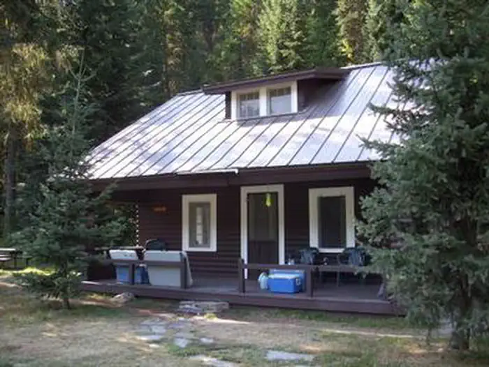

Site mix
| Cabins | 1 |
Site guide
1 site. Tap a filter to narrow the list; the map follows.
| Site | Entry | Fits, ft | Surface | Shade | People / vehicles |
|---|---|---|---|---|---|
| 001 | Back-in | 100 | Gravel | Partial | 6 / 2 |
Per-site records as published by the managing agency on Recreation.gov. Blank cells mean the agency listed nothing for that site. Check-in 1:00 PM, checkout 12:00 PM.
Amenities & rules
| Max vehicle length | 60 ft |
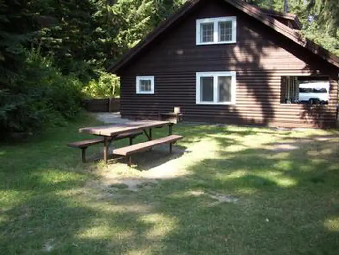
The log cabin has a front porch and is located near a public picnic area. It sleeps six guests, with a full-size bed downstairs and four single beds upstairs. Amenities include drinking water, propane stove, refrigerator and heater. Two portable propane lanterns are available, but guests should bring their own propane. Items to bring include propane for lanterns, bedding, flashlights, food, a first aid kit, matches, insect repellent, towels, dish soap, dish towels and washcloths. Visitors should also bring a splitting maul, axe or bow saw for collecting firewood, plus charcoal and lighter fluid to start campfires. There is an UNHEATED shower and toilet available in the warehouse that is approximately 200 ft. from the rental. A detailed walking map is available in the cabin.
Individual sites vary. Confirm on Recreation.gov or with the managing office.
Weather by month
Getting there
Access #1: From I-90, take Exit #43 (Kingston) and drive 24 miles north on Forest Highway 9 (two lane paved highway) to the Prichard Junction. Continue on Forest Road 208 for 28 miles to the end of the pavement and the start of Forest Road 6310 (a gravel road with rocks and potholes). Travel 7 miles on road 6310 to the Magee Ranger's Cabin.
| Nearest town | Coeur D'Alene, Idaho |
| Coordinates | 47.8444° N, 116.2522° W · Directions ↗ |
Supplies & services
| Dump station | Dump station ↗ | 17.1 mi |
| RV sales & service | All Seasons RV ↗ | 25.4 mi |
| Outdoor gear | Tri State Outfitters ↗ | 26.3 mi |
Locations © OpenStreetMap contributors. Call ahead; hours change seasonally.
Explore
Trails nearby
- 0.3 miBig Foot Ridge2.2 mi trail · hiking, horse, bike
- 0.6 miMagee Pk-Bear Creek ↗9.3 mi trail · hiking, horse, bike, motorcycle and 1 more
- 1.1 miBoundary Peak ↗6.5 mi trail · hiking, horse, bike
- 1.8 miHalsey Creek ↗4.6 mi trail · hiking, horse, bike
- 2.8 miFearn Creek3.6 mi trail · hiking, horse, bike
- 3.1 miLittle Elk Creek3.8 mi trail · hiking, horse, bike
Trail and trailhead records are the Forest Service's. Distances are straight-line to the nearer trail end. Trail conditions are not tracked here.
Public land it sits in
This campground sits inside Idaho Panhandle National Forests.
- inIdaho Panhandle National Forests ↗National Forest · Forest Service · 2,943,333 acres
Each unit is published as a centre point and an acreage rather than a boundary, so this section stands it in for a circle of the same area. Whether a campground is inside, and how far it is from one it is outside, are both approximate.
Other campgrounds nearby

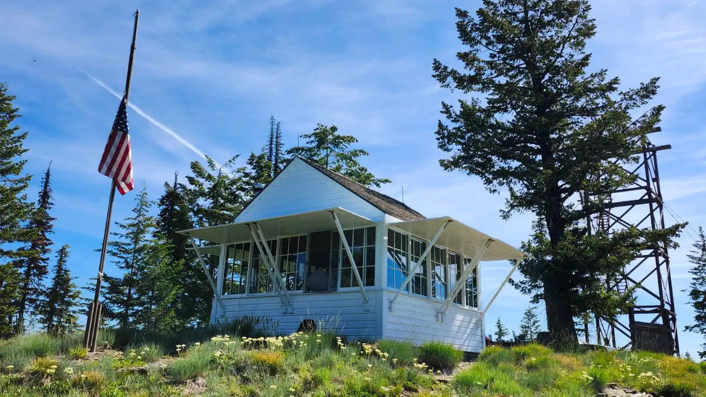
Cabin and lookout rentals nearby

On the National Register nearby
- Lake Pend Oreille Lime and Cement Industry Historic DistrictHistoric district · Bayview · 13 mi
Natural features
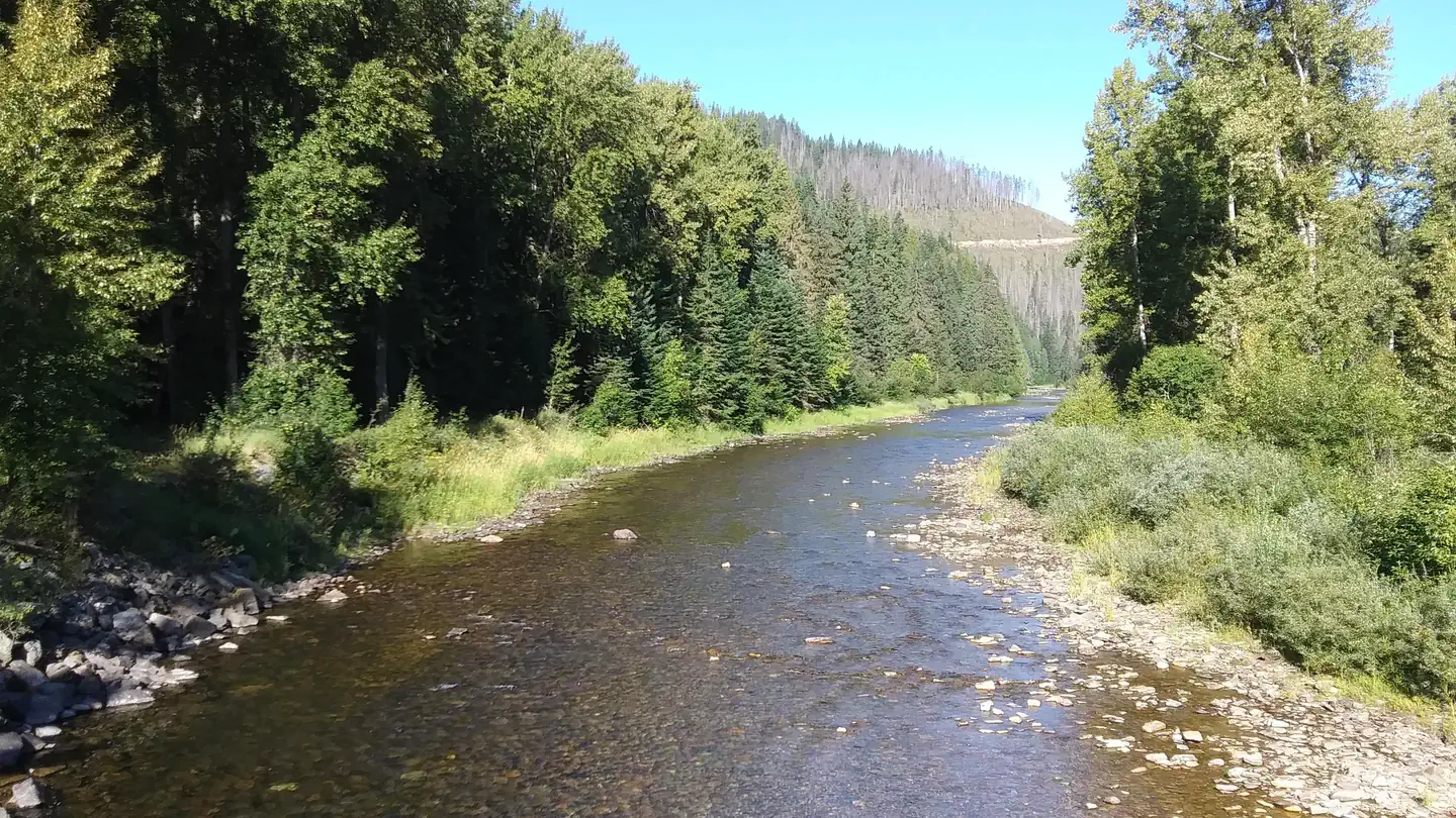
Magee sits at an elevation of 3,000 feet along the Teepee Creek in the heart of the Coeur d'Alene Mountains.
Recreation
Nearby trails include the Independence Creek Trail System, with 34 miles of trails suitable for hiking, motorcycle riding, horseback riding and mountain biking. Teepee Creek is a tributary of Idaho's South Fork Salmon River and is open to fly fishing with popular catches including cutthroat trout and brook trout.
Nearby
The nearest telephone is about 25 miles away and the nearest grocery store is about 32 miles away in Prichard, ID.
Guidebooks for Idaho
We earn a small commission if you buy through these links. It does not change what we list.

Titles come from Open Library's catalog, matched by subject heading or by title.
Reference
Questions people ask
Do I need a reservation at Magee Rangers Cabin?
Sites at Magee Rangers Cabin are reservable on Recreation.gov. Any walk-up sites are listed on the booking page.
Source: Recreation.gov
What time is check-in at Magee Rangers Cabin?
Check-in 1:00 PM, checkout 12:00 PM.
Source: Recreation.gov
How many sites does Magee Rangers Cabin have?
1 site, including 1 cabin.
Source: Recreation.gov
Will my RV fit at Magee Rangers Cabin?
The longest site here provides 60 feet of vehicle capacity. Most sites are shorter. The sidebar tool checks a trailer or motorhome length against every site.
Source: Will my RV fit
Are there showers or a dump station at Magee Rangers Cabin?
There is an UNHEATED shower and toilet available in the warehouse that is approximately 200 ft.
Source: Recreation.gov
What is there to do at Magee Rangers Cabin?
Nearby trails include the Independence Creek Trail System, with 34 miles of trails suitable for hiking, motorcycle riding, horseback riding and mountain biking. The Recreation section on this page has the rest.
Source: Recreation
What is the nearest town to Magee Rangers Cabin?
Coeur D'Alene, Idaho. The nearest telephone is about 25 miles away and the nearest grocery store is about 32 miles away in Prichard, ID.
Source: Getting there
What if Magee Rangers Cabin is full?
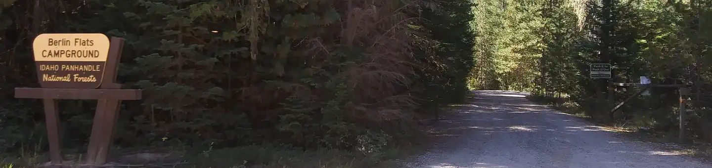
The nearest public campgrounds are Big Hank (7.3 mi), Devils Elbow (12.2 mi), and Berlin Flats (12.2 mi).
Source: Campgrounds nearby