Deer Ridge Lookout
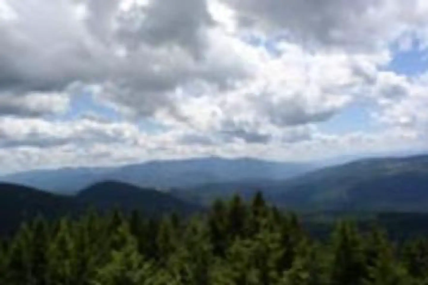
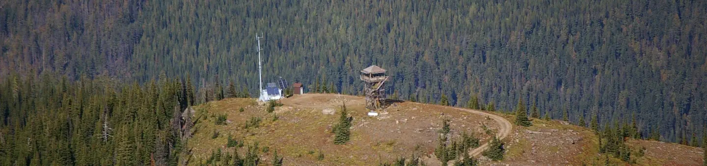
Deer Ridge Lookout, perched on a 40 foot timber frame, boasts excellent views of the Purcell mountain ranges of Northern Idaho, Canada and Montana. Located 24 miles northeast of Bonners Ferry, guests can enjoy magnificent scenery, hiking and wildlife watching. The lookout can be accessed by car and the gravel road to the lookout is well maintained.
Check availability on Recreation.gov ↗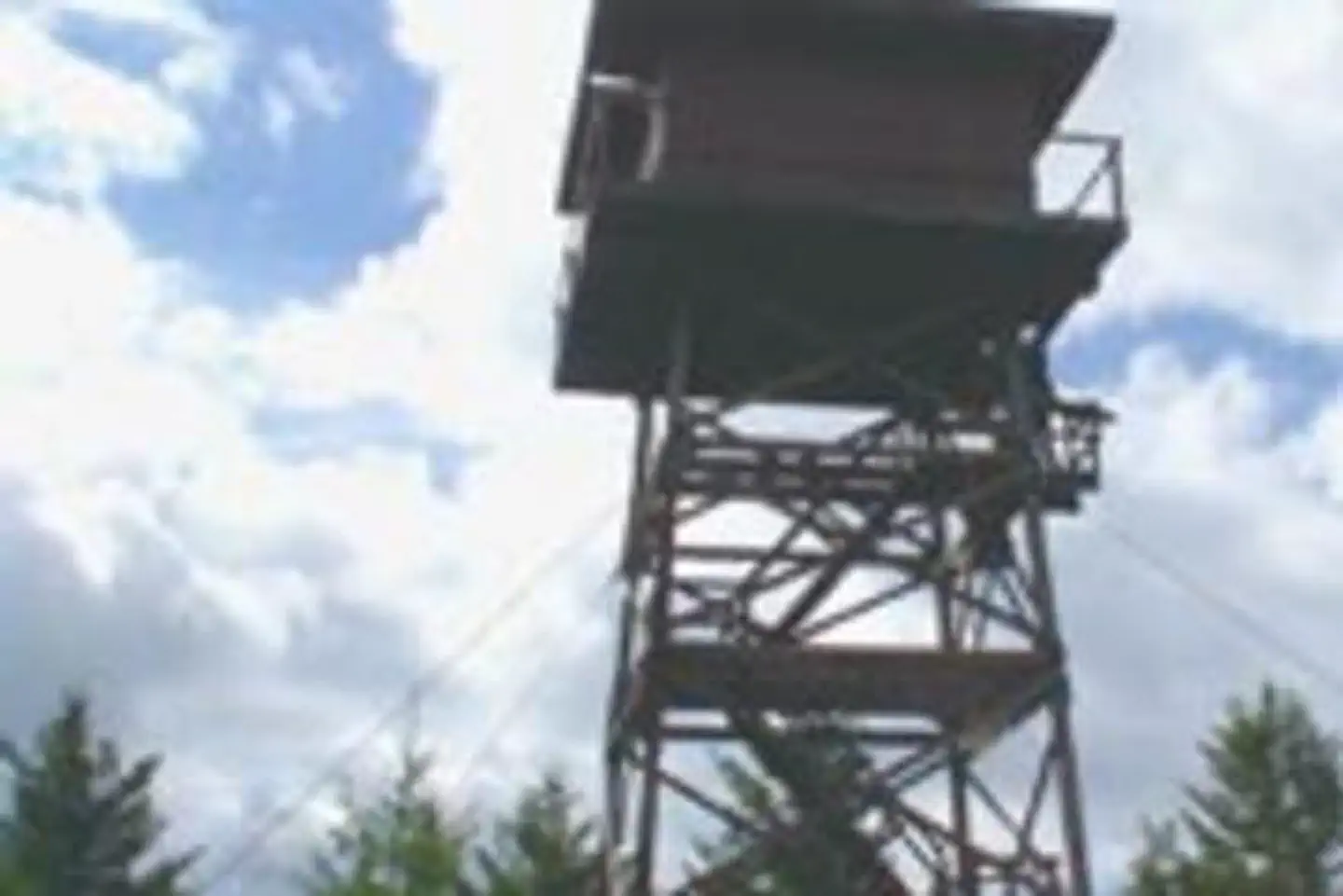
Site mix
| Cabins | 1 |
Site guide
1 site. Tap a filter to narrow the list; the map follows.
| Site | Surface | People / vehicles |
|---|---|---|
| 001 | Gravel | 4 / – |
Per-site records as published by the managing agency on Recreation.gov. Blank cells mean the agency listed nothing for that site. Check-in 1:00 PM, checkout 11:00 AM.
Amenities & rules
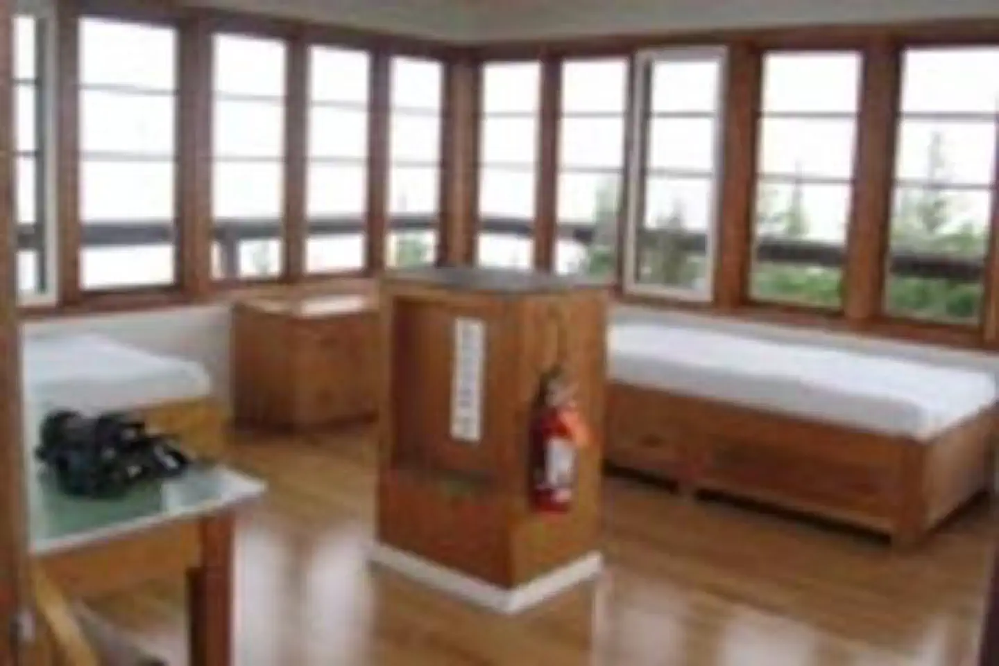
The 14' X 14' cabin has a wraparound catwalk, with a trap door that lifts for access to the tower's entrance staircase. Furnishings include two twin beds, two chairs, a dresser and a table. A pit toilet is located 50 yards away. No water is available. Guests should bring plenty of water for drinking, cooking and washing. All cooking should be done outside and at ground level. Guests should bring a tarp to block the rain. Other items to bring include bedding, a first aid kit, towels and flashlights.
Individual sites vary. Confirm on Recreation.gov or with the managing office.
Weather by month
Getting there
Take Highway 95/2 north from the Bonners Ferry Ranger Station for 5 miles. Turn right onto Highway 2 and head east for 2 miles. Turn left onto Meadow Creek Road and head north and east for 10 miles to the bridge over the Moyie River. Turn right onto Road 2541 (Placer Creek Road) and go east 1.5 miles.
| Nearest town | Bonners Ferry, Idaho |
| Coordinates | 48.8453° N, 116.1019° W · Directions ↗ |
Good to know
- The staircase is steep and is not recommended for small children.
- Cooking is not permitted in the lookout.
Fire nearby
- WildfireUpper Smith
24 mi from the campground · 4,848 acres · 41% contained
- WildfireParker Lake
24 mi from the campground · 1,531 acres · 1% contained
- WildfireSilver
30 mi from the campground · 2,593 acres · 30% contained
Distance is to the reported incident point, not the fire edge. Call the managing office before you drive.
Supplies & services
| Dump station | Dump station ↗ | 16.3 mi |
| RV sales & service | Kootenay RV ↗ | 27 mi |
| Outdoor gear | North 40 ↗ | 42.1 mi |
Locations © OpenStreetMap contributors. Call ahead; hours change seasonally.
Explore
Trails nearby
- 0.2 miDeer Ridge3.8 mi trail · hiking, horse, bike, motorcycle and 1 more
- 0.2 miDeer Ridge-Buckhorn2.1 mi trail · hiking, horse, bike, motorcycle and 1 more
- 1.8 miSnyder Creek ↗4.5 mi trail · hiking, horse, bike, motorcycle and 1 more
- 2.1 miKeno Ridge ↗6.3 mi trail · hiking, horse, bike
- 2.7 miMeadow Creek Campground1.1 mi trail · hiking
- 3 miMeadow Creek Campground A0.08 mi trail · hiking
Trail and trailhead records are the Forest Service's. Distances are straight-line to the nearer trail end. Trail conditions are not tracked here.
Public land it sits in
Kootenai National Forest begins about 4.1 miles away, and it is the closest of these.
- 4.1 miKootenai National Forest ↗National Forest · Forest Service · 2,622,202 acres
Each unit is published as a centre point and an acreage rather than a boundary, so this section stands it in for a circle of the same area. Whether a campground is inside, and how far it is from one it is outside, are both approximate.
Other campgrounds nearby



Cabin and lookout rentals nearby
On the National Register nearby
- Snyder Guard Station Historical DistrictHistoric district · Eastport · 4.1 mi
- Spokane & International Railroad Construction CampSite · Eastport · 8.9 mi
- North Side SchoolBuilding · Bonners Ferry · 13.8 mi
Natural features
The Lower Kootenai River Area (Bonners Ferry District) is bordered by the Purcell and Cabinet Ranges and the Montana Line on the east, the rugged Selkirk Range on the west, and the Canadian border to the north. The Kootenai River meanders north and west through the District, and the Moyie River joins it from the north. Peaks are moderate in elevation (6000 - 7000 ft.) but are rugged due to heavy glaciation. They are renowned for their mountaineering challenge. The lookout is perched atop Deer Ridge at an elevation of 4,755 feet. The view from the facility includes the rugged Purcell mountain peaks and the beautiful Moyie River Valley and Moyie Springs. Elk, deer and black bears are among the wildlife in the area. Please be aware of and practice bear safety.
Recreation
Hiking and viewing the scenery are two well-loved activities at the facility. Hiking trails from the lookout follow along the Deer Ridge and Ruby Ridge. Huckleberry picking is enjoyed from August to September. Fly fishing is available in the Moyie River, where anglers can cast for rainbow and brook trout. Make sure to check all regulations and secure all permits with the local Fish and Wildlife department before heading out.
Nearby
The nearest town for groceries is Bonners Ferry, about 24 miles from the lookout.
Guidebooks for Idaho
We earn a small commission if you buy through these links. It does not change what we list.

Titles come from Open Library's catalog, matched by subject heading or by title.
Reference
Questions people ask
Do I need a reservation at Deer Ridge Lookout?
Sites at Deer Ridge Lookout are reservable on Recreation.gov. Any walk-up sites are listed on the booking page.
Source: Recreation.gov
What time is check-in at Deer Ridge Lookout?
Check-in 1:00 PM, checkout 11:00 AM.
Source: Recreation.gov
How many sites does Deer Ridge Lookout have?
1 site, including 1 cabin.
Source: Recreation.gov
Is there cell service at Deer Ridge Lookout?
FCC coverage maps show AT&T 4G LTE and T-Mobile 4G LTE at the campground point. Terrain changes that from one site to the next.
Source: FCC Broadband Map
What is there to do at Deer Ridge Lookout?
Hiking and viewing the scenery are two well-loved activities at the facility. The Recreation section on this page has the rest.
Source: Recreation
What is the nearest town to Deer Ridge Lookout?
Bonners Ferry, Idaho. The nearest town for groceries is Bonners Ferry, about 24 miles from the lookout.
Source: Getting there
What if Deer Ridge Lookout is full?
The nearest public campgrounds are Solomon Lake Fishing (3.4 mi, first-come), Copper Creek Campground (10.1 mi, first-come), and Red Top Campground (10.2 mi, first-come).
Source: Campgrounds nearby