Castle Butte Lookout
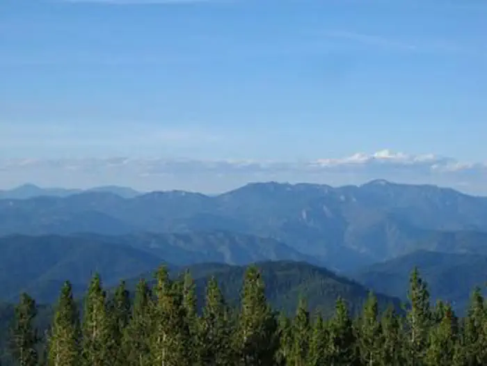
Castle Butte Lookout is a unique cabin perched on a rocky point, 6,659 feet above sea level. It offers breathtaking, 360-degree views of the Selway-Bitterroot Wilderness, the Seven Devils Mountains, the Great Burn area and the deep canyons of the North Fork Clearwater River's upper drainages. A cabin was first constructed on this site in 1916 and was replaced in 1928 with a log cabin featuring a cupola. The current lookout was built in 1950. Access to the lookout is via the Lolo Motorway, a primitive, single-lane road constructed by the Civilian Conservation Corps in the early 1930s. Guests should be prepared to walk about 100 feet up steep, rocky terrain to reach the lookout.
Check availability on Recreation.gov ↗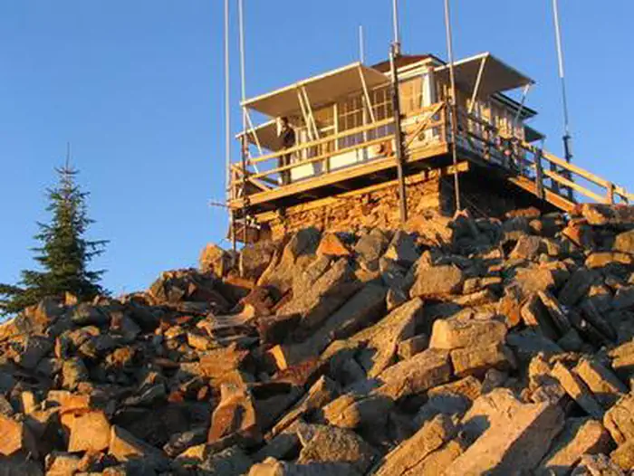
Site mix
| Cabins | 1 |
Site guide
1 site. Tap a filter to narrow the list; the map follows.
| Site | Surface | Shade | People / vehicles |
|---|---|---|---|
| 001 | Gravel | Partial | 4 / – |
Per-site records as published by the managing agency on Recreation.gov. Blank cells mean the agency listed nothing for that site. Check-in 2:00 PM, checkout 2:00 PM.
Amenities & rules
| Pets | Allowed |
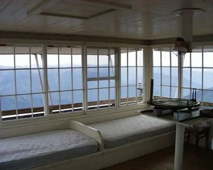
Castle Butte Lookout can accommodate four people and comes equipped with two twin beds with foam mattresses, two cots, a table with two chairs, mop & bucket, a propane cook stove, propane lights, propane heater and propane. A pit toilet is located in a separate building outside. The cabin does not have electricity or water. Guests should bring their own water supply as there is no close water source. Guests must provide their own emergency lighting, garbage bags, bedding, matches, toilet paper, cookware and cooking utensils. The cabin should be cleaned before departure.
Individual sites vary. Confirm on Recreation.gov or with the managing office.
Weather by month
Getting there
From Missoula, MT: Take US Highway 12 West for about approximately 78 miles (milepaost 139.7) to Forest Service Road #107. All roads from this point are gravel or dirt and a vehicle with high clearance is suggested. Turn right onto Forest Service Road #107 (Saddle Camp and Gravey Creek), and go approx. 8 miles.
| Nearest town | Kooskia, Idaho |
| Coordinates | 46.4342° N, 115.2192° W · Directions ↗ |
Good to know
- It is not recommended for large RVs, vehicles with low ground clearance or trailers.
Fire nearby
- PrescribedRx Rescue Jensen Nfrd
20 mi from the campground · 44 acres
- WildfireMoose Mountain
24 mi from the campground · 5,832 acres · 90% contained
- PrescribedRx Stray Creek Lcrd
29 mi from the campground · 150 acres
- PrescribedRx Barnyard Units Nfrd
30 mi from the campground · 41 acres
Distance is to the reported incident point, not the fire edge. Call the managing office before you drive.
Supplies & services
| RV sales & service | Hamilton RV Sales Of Montana ↗ | 51.9 mi |
Locations © OpenStreetMap contributors. Call ahead; hours change seasonally.
Explore
Worth a stop
The Lolo Motorway stretches for 100 miles through scenic mountain landscapes. Summer visitors can see meadows and hillsides blanketed in colorful wildflowers. Travelers should be prepared for rough, sometimes treacherous conditions. No services are located along this road, so travelers should have plenty of gas, food and water for the drive.
- 4.3 miEagle Mountain Trailhead ↗Trailhead
- 9.8 miMocus Point Trailhead ↗Trailhead
Trails nearby
- 0.1 miCastle Butte1.6 mi trail
- 1.2 miHolly Creek2.4 mi trail
- 1.3 miBald Mountain Lake0.8 mi trail
- 2 miBald Ridge3.7 mi trail
- 2.6 miSkookum Creek ↗4.6 mi trail
- 3.5 miHungry Point3.9 mi trail
Trail and trailhead records are the Forest Service's. Distances are straight-line to the nearer trail end. Trail conditions are not tracked here.
Public land it sits in
This campground sits inside Nez Perce-Clearwater National Forest.
- inNez Perce-Clearwater National Forest ↗National Forest · Forest Service · 4,072,795 acres
- 5.7 miSelway-Bitterroot Wilderness ↗Wilderness · Forest Service · 1,347,644 acres
Each unit is published as a centre point and an acreage rather than a boundary, so this section stands it in for a circle of the same area. Whether a campground is inside, and how far it is from one it is outside, are both approximate.
Other campgrounds nearby

Cabin and lookout rentals nearby
Natural features
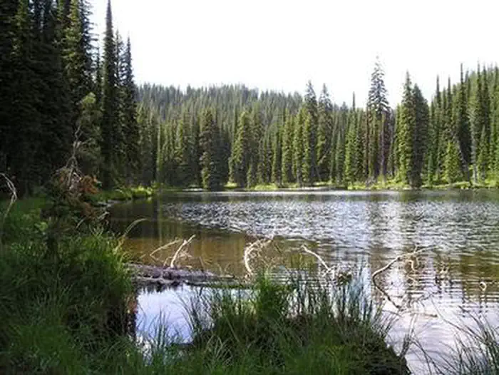
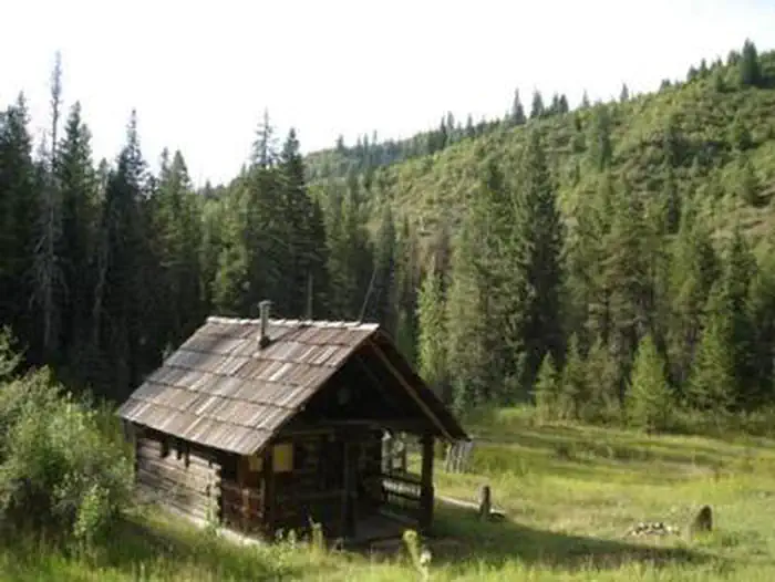
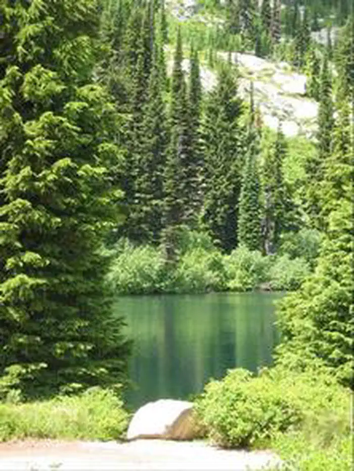
The lookout is surrounded by a rocky landscape that quickly gives way to dense forests of lodgepole and ponderosa pines. This unique facility offers an ideal vantage point to watch sunrises and sunsets, and gaze at the stars. Wildlife enthusiasts may spot eagles, bears, moose, elk, deer and mountain goats.
Recreation
Hikers can follow the paths of the Nez Perce and Lewis and Clark on the historic Lolo Trail. The Lolo Motorway is popular with off-road vehicle enthusiasts. Huckleberries are abundant in the summer, offering good berry picking opportunities.
Guidebooks for Idaho
We earn a small commission if you buy through these links. It does not change what we list.

Titles come from Open Library's catalog, matched by subject heading or by title.
Reference
Questions people ask
Do I need a reservation at Castle Butte Lookout?
Sites at Castle Butte Lookout are reservable on Recreation.gov. Any walk-up sites are listed on the booking page.
Source: Recreation.gov
What time is check-in at Castle Butte Lookout?
Check-in 2:00 PM, checkout 2:00 PM.
Source: Recreation.gov
How many sites does Castle Butte Lookout have?
1 site, including 1 cabin.
Source: Recreation.gov
Are pets allowed at Castle Butte Lookout?
Yes, pets are allowed at Castle Butte Lookout. Leash rules apply.
Source: Recreation.gov
What is there to do at Castle Butte Lookout?
Hikers can follow the paths of the Nez Perce and Lewis and Clark on the historic Lolo Trail. The Recreation section on this page has the rest.
Source: Recreation
What is the nearest town to Castle Butte Lookout?
Kooskia, Idaho. The Lolo Motorway stretches for 100 miles through scenic mountain landscapes.
Source: Getting there
What if Castle Butte Lookout is full?
The nearest public campgrounds are Wilderness Gateway (7.7 mi, partly first-come), Weitas Creek Campground (17.3 mi, first-come), and Knife Edge Campground and River Access (18.7 mi, first-come).
Source: Campgrounds nearby