Larry Creek Group Camp
Larry Creek Group Campground is located in western Montana's Bitterroot National Forest. It is a great location for an extended family or group getaway, providing access to many fishing, hiking, mountain biking and hunting opportunities.
More like this: reservable in Montana · group sites in Montana
Check availability on Recreation.gov ↗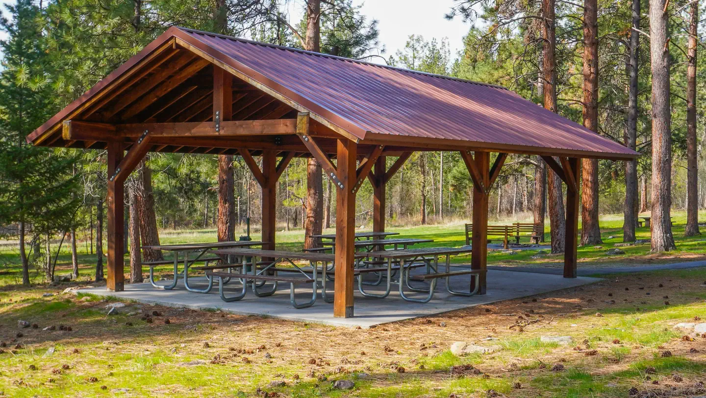
Site mix
| Group sites | 1 |
Site guide
Will my RV fit
The longest site here provides 30 feet of vehicle capacity. Most sites are shorter.
1 site. Tap a filter to narrow the list; the map follows.
| Site | Entry | Fits, ft | Surface | People / vehicles | Accessible |
|---|---|---|---|---|---|
| G01 | Back-in | 30 | Gravel | 75 / 10 | Yes |
Per-site records as published by the managing agency on Recreation.gov. Blank cells mean the agency listed nothing for that site. Check-in 12:00 PM, checkout 11:00 AM.
Amenities & rules
| Hookups | None |
| Max vehicle length | 30 ft |
| Equipment | RVs & trailers, Tents |
| Accessibility | Site G01 is listed accessible |
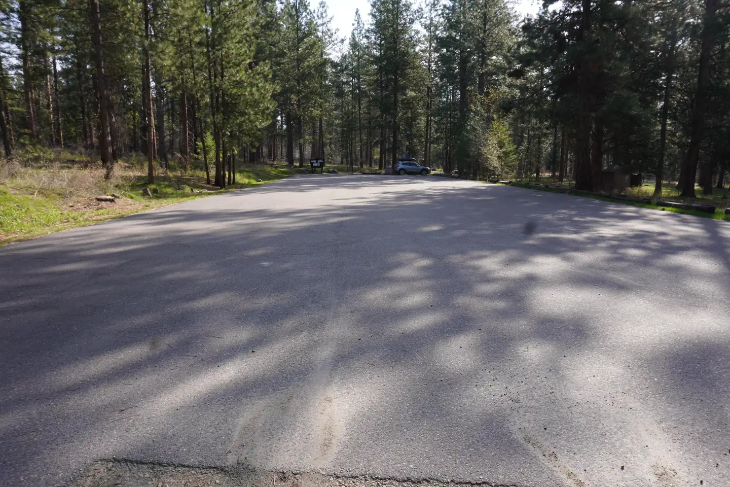
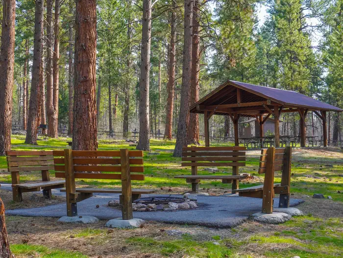
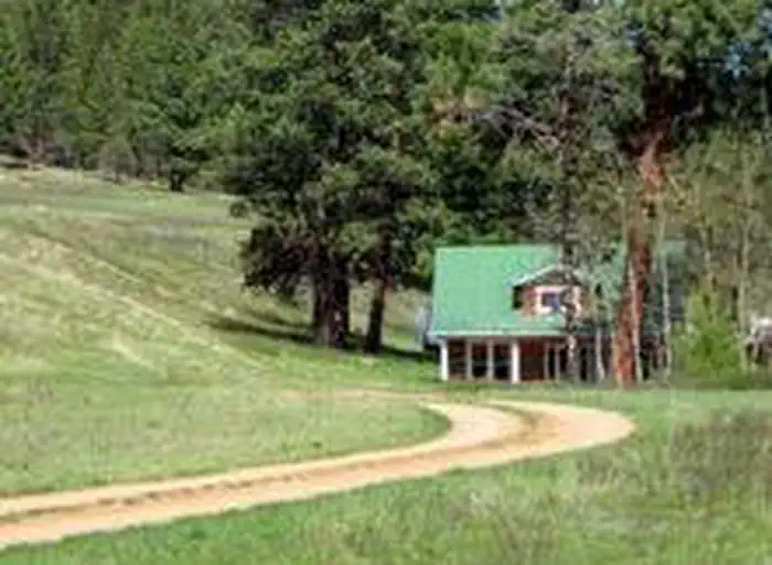
The campground offers one large, accessible group campsite, available for tent and RV camping. It can accommodate up to 75 people and 10 vehicles. The adjacent parking area is small, limiting RVs to about 30 feet in length. The site is equipped with a picnic shelter, several tables, a large campfire circle and grills. Accessible vault toilets and drinking water are provided. A gravel road accesses the campground. Vehicles must stay on Forest Roads and in the designated parking area. Vehicles are not allowed off-road.
Individual sites vary. Confirm on Recreation.gov or with the managing office.
Season & status
| Season | May |
| Forest | Bitterroot National Forest |
| Booking | Reserve by visiting Recreation.gov or by calling Toll Free 1-877-444-6777 (International 518-885-3639 or TDD 877-833-6777). |
| Fees | $75/Night for single unit |
| Rules | Camping limited to 5 consecutive days. Quiet hours: 10:00 p.m. to 6:00 a.m. Pets must be leashed. |
Weather by month
Getting there
From Stevensville, travel northwest on County Road 269 to Highway 93. Continue about 4 miles to Bass Creek Road. Travel 2 miles on Bass Creek Road and less than a mile on Forest Road 1136. Turn onto Forest Road 1316 and continue about a mile to the campground.
| Nearest town | Stevensville, Montana |
| Coordinates | 46.5860° N, 114.1265° W · Directions ↗ |
Good to know
- Motorized access to the meadow is not allowed.
Fire nearby
- PrescribedRx D3 Cameron Gaps
48 mi from the campground · 1,100 acres
Distance is to the reported incident point, not the fire edge. Call the managing office before you drive.
Supplies & services
| RV sales & service | Sport Land Trailer Sales, Service & Rentals ↗ | 11.4 mi |
| Outdoor gear | Cabela's ↗ | 17.8 mi |
Locations © OpenStreetMap contributors. Call ahead; hours change seasonally.
Explore
Worth a stop
The Lee Metcalf National Wildlife Refuge is located along the Bitterroot River about 20 miles from the campground. The refuge provides visitors with opportunities for wildlife observation, photography, hunting, fishing and environmental education. A wildlife viewing area offers 2.5 miles of nature trails, including an accessible 0.5-mile path. The trails meander through meadows and woodlands along the river. A variety of services are available in the neighboring city of Stevensville.
- 1.2 miBass Creek Trailhead ↗Trailhead
Trails nearby
- 0.2 miEcology Trail0.7 mi trail
- 0.7 miLarry Creek ↗6.3 mi trail
- 0.8 miFitness Trail0.3 mi trail
- 0.8 miNature Trail0.5 mi trail
- 1.1 miNorth Zone Loop0.5 mi trail
- 1.2 miHorsehoe Loop0.3 mi trail
Trailheads within three miles
- 0.8 miBass Creek Day Use Trailhead Interpretive Site ↗Bitterroot National Forest
- 1.2 miBass Creek Trailhead ↗Bitterroot National Forest
- 2.1 miBass Overlook Trailhead ↗Bitterroot National Forest
- 2.8 miSweeney Trailhead ↗Bitterroot National Forest
Trail and trailhead records are the Forest Service's. Distances are straight-line to the nearer trail end. Trail conditions are not tracked here.
Public land it sits in
Lee Metcalf National Wildlife Refuge begins about 1.6 miles away, and it is the closest of these.
- 1.6 miLee Metcalf National Wildlife Refuge ↗National Wildlife Refuge · Fish and Wildlife Service · 2,827 acres
- 14.9 miWelcome Creek Wilderness ↗Wilderness · Forest Service · 28,248 acres
Each unit is published as a centre point and an acreage rather than a boundary, so this section stands it in for a circle of the same area. Whether a campground is inside, and how far it is from one it is outside, are both approximate.
Other campgrounds nearby


Cabin and lookout rentals nearby


On the National Register nearby
- Fort OwenBuilding · Stevensville · 4.8 mi
- John McLaughlin HouseBuilding · Stevensville · 5.3 mi
- Bass MansionBuilding · Stevensville · 5.4 mi
Natural features
The campground sits at a fairly low elevation in the Bass Creek Recreation Area between Missoula and Hamilton. It is situated west of the Lee Metcalf National Wildlife Refuge, in an area forested with pine, spruce and fir trees. A variety of wildlife, including mule and white-tailed deer, elk, moose and birds can often be seen in the area.
Recreation
A variety of non-motorized trails are nearby, including a half-mile nature trail that highlights some the area's best features. The 9-mile Bass Creek Trail is located just south of the campground and leads to a scenic overlook and many fishing holes. Bass Lake, Bass Creek and numerous additional mountain streams make the campground a very popular location for fishing. An interpretive trail, fitness trail and volleyball court are located within the campground.
Guidebooks for Montana
We earn a small commission if you buy through these links. It does not change what we list.

Titles come from Open Library's catalog, matched by subject heading or by title.
Reference
Questions people ask
Do I need a reservation at Larry Creek Group Camp?
Sites at Larry Creek Group Camp are reservable on Recreation.gov. Reserve by visiting Recreation.gov or by calling Toll Free 1-877-444-6777 (International 518-885-3639 or TDD 877-833-6777). Any walk-up sites are listed on the booking page.
Source: Recreation.gov
How much does it cost to camp at Larry Creek Group Camp?
$75/Night for single unit
Source: Recreation.gov
What time is check-in at Larry Creek Group Camp?
Check-in 12:00 PM, checkout 11:00 AM.
Source: Recreation.gov
How many sites does Larry Creek Group Camp have?
1 site, including 1 group site.
Source: Recreation.gov
Will my RV fit at Larry Creek Group Camp?
The longest site here provides 30 feet of vehicle capacity. Most sites are shorter. The sidebar tool checks a trailer or motorhome length against every site.
Source: Will my RV fit
Are there accessible sites at Larry Creek Group Camp?
Site G01 is listed accessible on Recreation.gov. What that covers (a paved pad, an accessible table, a nearby accessible restroom) is on each site's booking page.
Source: Recreation.gov
Is there cell service at Larry Creek Group Camp?
FCC coverage maps show Verizon 4G LTE, AT&T 5G, and T-Mobile 5G at the campground point. Terrain changes that from one site to the next.
Source: FCC Broadband Map
What is there to do at Larry Creek Group Camp?
A variety of non-motorized trails are nearby, including a half-mile nature trail that highlights some the area's best features. The Recreation section on this page has the rest.
Source: Recreation
What is the nearest town to Larry Creek Group Camp?
Stevensville, Montana. The Lee Metcalf National Wildlife Refuge is located along the Bitterroot River about 20 miles from the campground.
Source: Getting there
What if Larry Creek Group Camp is full?
The nearest public campgrounds are Charles Waters Campground (1 mi, first-come), Gold Creek Campground (16.8 mi, first-come), and Harry's Flat Campground (18.2 mi, first-come).
Source: Campgrounds nearby