Fales Flat Campground
Fales Flat Campground is a group facility on Nez Perce Fork of the Bitterroot River. It is also well equipped for equestrian campers. The campground provides access to a variety of hiking and horseback riding trails in the area, as well as a variety of historic sites that denote the presence of the Nez Perce many years ago.
Some sites take reservations on Recreation.gov. Others are first-come, first-served.
More like this: first-come in Montana · reservable in Montana · big rigs in Montana · group sites in Montana
Check availability on Recreation.gov ↗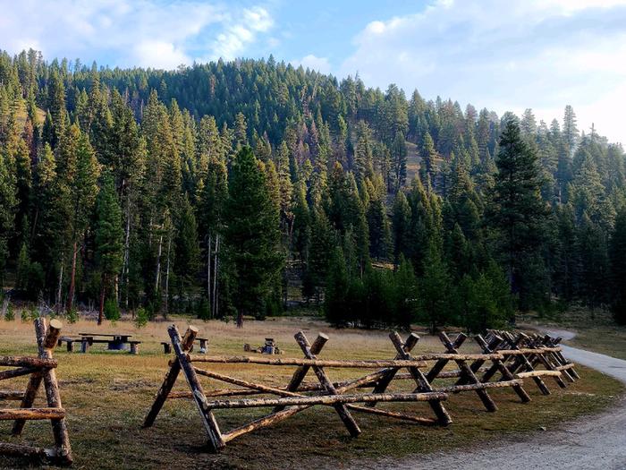
Site mix
| Group sites | 3 |
Site guide
Will my RV fit
The longest site here provides 50 feet of vehicle capacity. Most sites are shorter.
3 sites in 3 loops. Tap a filter to narrow the list; the map follows.
| Site | Loop | Entry | Fits, ft | Surface | Shade | People / vehicles | Fires |
|---|---|---|---|---|---|---|---|
| GS1 | G | 40 | Gravel | Partial | 100 / 20 | Yes | |
| GS3 | H | Pull-through | 25 | Gravel | Partial | 10 / – | Yes |
| GS2 | I | 50 | Gravel | Partial | 8 / 2 | Yes |
Per-site records as published by the managing agency on Recreation.gov. Blank cells mean the agency listed nothing for that site. Check-in 2:00 PM, checkout 12:00 PM.
Amenities & rules
| Hookups | None |
| Max vehicle length | 50 ft |
| Equipment | RVs & trailers, Tents |
| Campfires | Allowed, subject to restrictions |
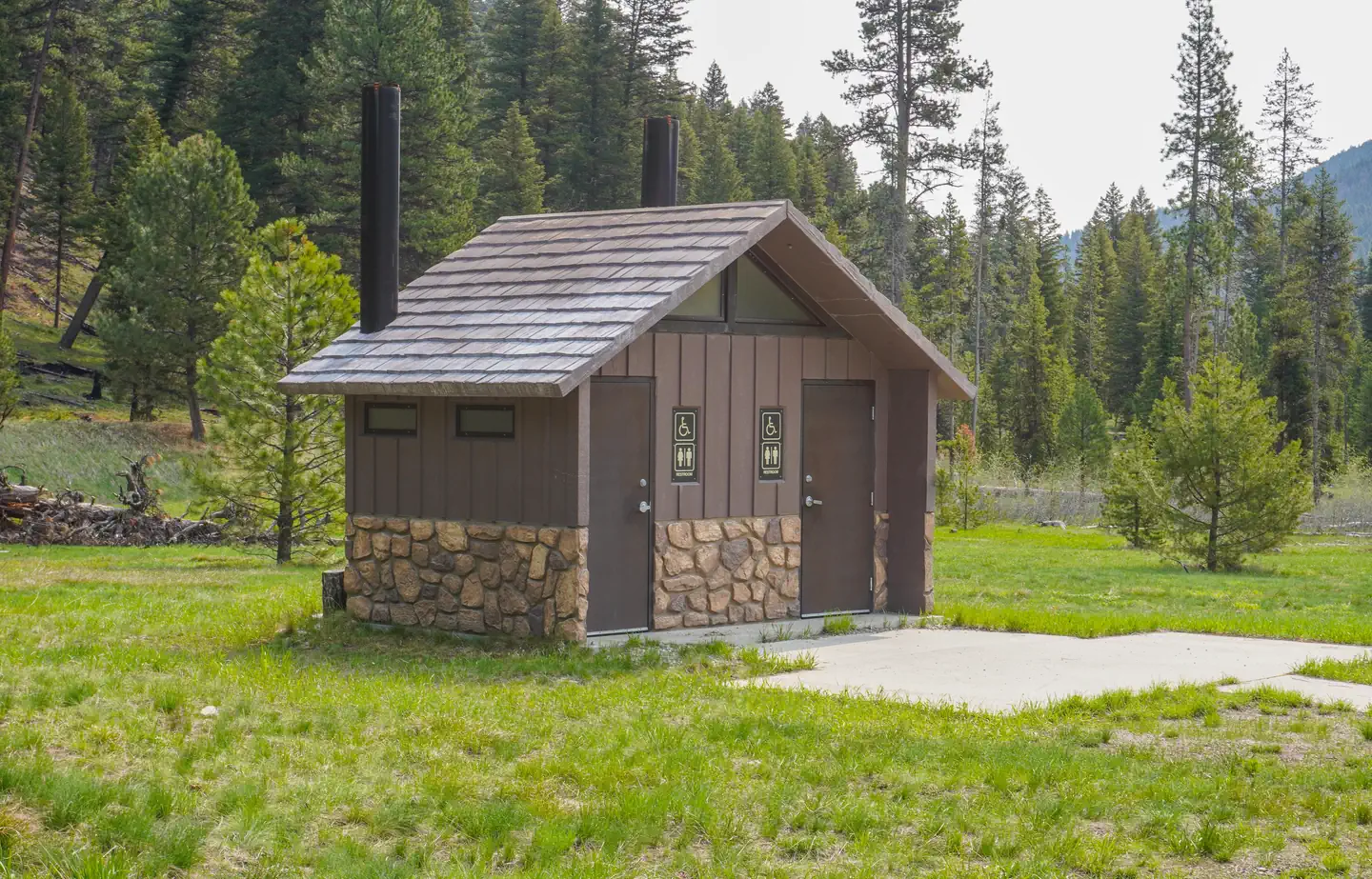
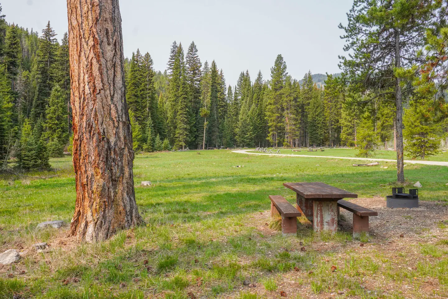
The campground offers one large group site for tent and RV camping. It can accommodate 15 to 100 people. Hookups are not available. Parking surfaces are gravel. The site is equipped with multiple tables and a large campfire circle. Vault toilets are provided. Drinking water and trash collection bins are not available. A few individual and equestrian sites are available at the campground on a first-come, first-served basis. Those sites have access to a horse staging area and hitching racks.
Individual sites vary. Confirm on Recreation.gov or with the managing office.
Season & status
| Season | May |
| Forest | Bitterroot National Forest |
| Booking | Reserve by visiting Recreation.gov or by calling Toll Free 1-877-444-6777 (International 518-885-3639 or TDD 877-833-6777). |
| Fees | $30/group/night |
| Rules | Camping limited to 16 consecutive days. Quiet hours: 10:00 p.m. to 6:00 a.m. Pets must be leashed. |
Weather by month
Getting there
From Darby, travel south on Highway 93 for about four miles. Turn onto Highway 473 and continue southwest for 14 miles. Turn west onto Forest Road 468 and continue about 12 miles to the campground.
| Nearest town | Darby, Montana |
| Coordinates | 45.7461° N, 114.4433° W · Directions ↗ |
Fire nearby
- PrescribedRx D4 Piquett Creek
14 mi from the campground · 2,210 acres
- PrescribedScf Nz Pile Burn Rx
27 mi from the campground · 34 acres
- PrescribedRx D3 Cameron Gaps
29 mi from the campground · 1,100 acres
Distance is to the reported incident point, not the fire edge. Call the managing office before you drive.
Supplies & services
| RV sales & service | Hamilton RV Sales Of Montana ↗ | 38.8 mi |
Locations © OpenStreetMap contributors. Call ahead; hours change seasonally.
Explore
Worth a stop
The campground is at the base of Nez Perce Pass which is a corridor into the heart of the Selway-Bitterroot Wilderness and Frank Church-River of No Return Wilderness Areas. The Montana/Idaho stateline sits atop Nez Perce Pass where there is interpretive information and trailhead access north and south.
- 12.8 miReynolds Trailhead ↗Trailhead
Trails nearby
- 0.2 miSheephead Creek ↗7.4 mi trail
- 0.2 miNez Perce Indian Trail-Fales ↗4.6 mi trail
- 0.7 miBare Cone3.2 mi trail
- 1.2 miWatchtower ↗9 mi trail
- 2.3 miCastle Rock ↗4.5 mi trail
- 3.5 miDivide South ↗16.5 mi trail
Trailheads within three miles
- 1.3 miWatchtower Creek Trailhead ↗Bitterroot National Forest
Trail and trailhead records are the Forest Service's. Distances are straight-line to the nearer trail end. Trail conditions are not tracked here.
Public land it sits in
This campground sits inside Bitterroot National Forest.
- inBitterroot National Forest ↗National Forest · Forest Service · 1,664,512 acres
- 3.9 miSelway-Bitterroot Wilderness ↗Wilderness · Forest Service · 1,347,644 acres
- 6.7 miSalmon-Challis National Forest ↗National Forest · Forest Service · 4,396,382 acres
Each unit is published as a centre point and an acreage rather than a boundary, so this section stands it in for a circle of the same area. Whether a campground is inside, and how far it is from one it is outside, are both approximate.
Other campgrounds nearby



Cabin and lookout rentals nearby
On the National Register nearby
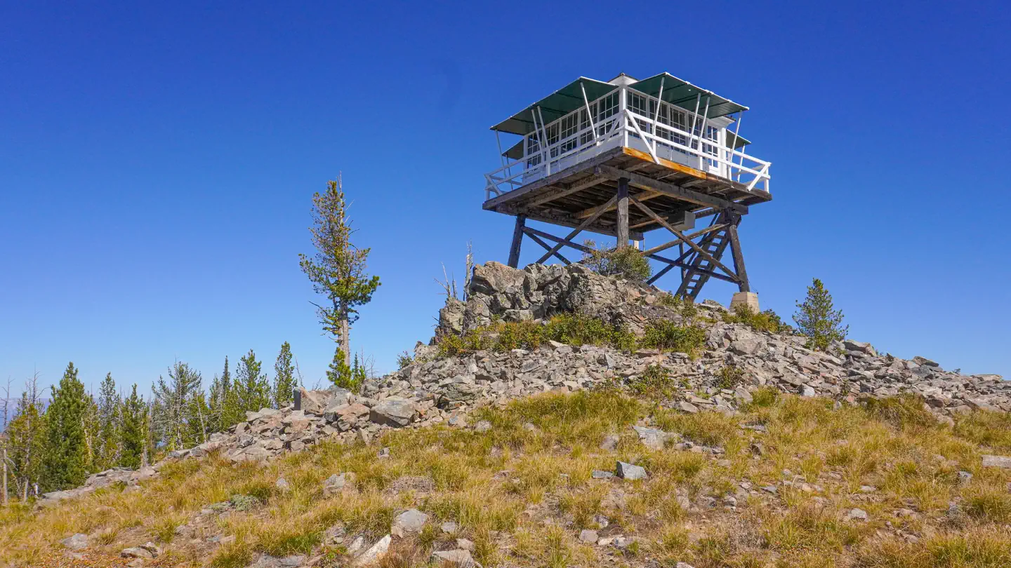
- Boulder Point LookoutBuilding · Darby · 9.8 mi
- Alta Ranger StationBuilding · Conner · 11.2 mi
Natural features
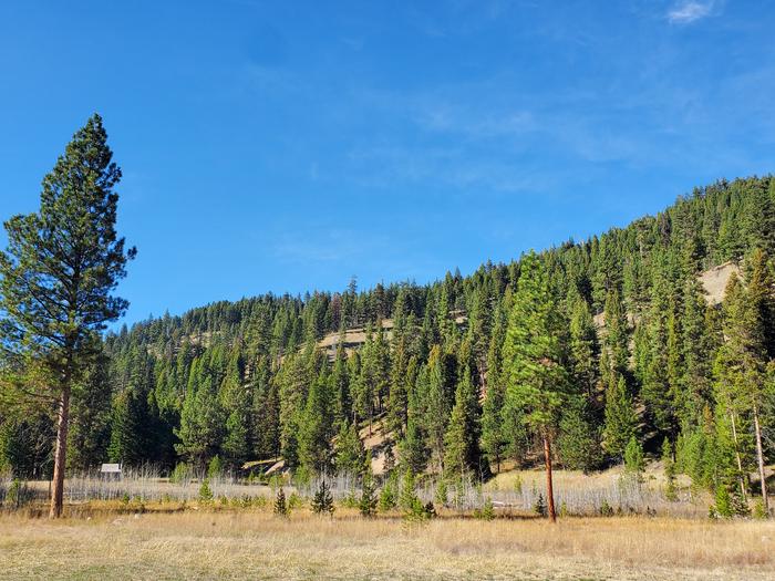
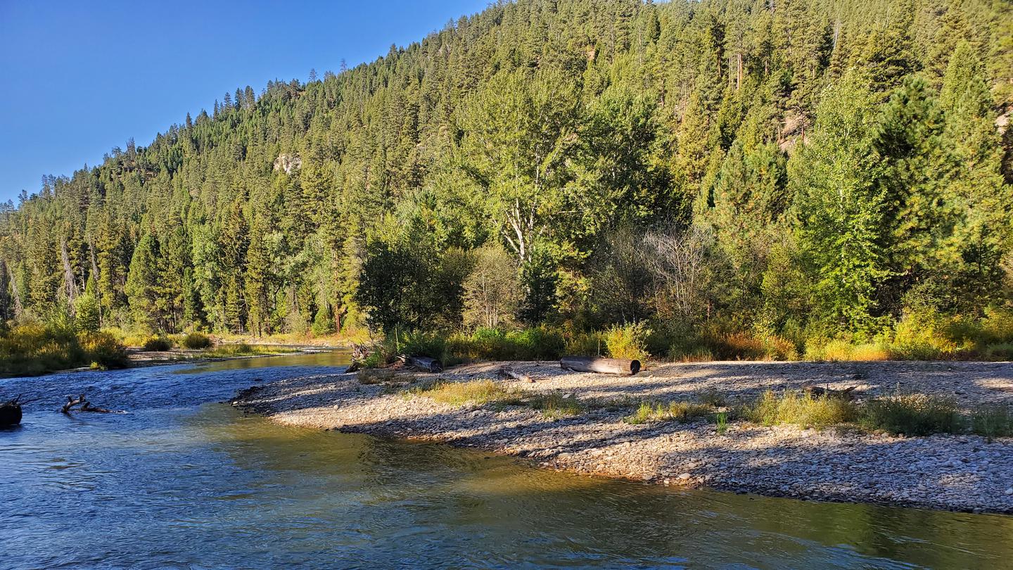
The campground is located in a large meadow at the base of Nez Perce Pass along the Nez Perce Fork of the Bitterroot River. The area is believed to have been used by the Nez Perce Nimi'ipuu tribe during its travels to the buffalo country in eastern Montana.
Recreation
Fly fishing and wading in the Nez Perce Fork, which runs alongside the campground, are also popular activities. A variety of trails and unimproved roads are great for hiking and horseback riding. Three trails originate near the campground. Watchtower Trail is just down the Nez Perce a mile, Sheephead Creek Trail which is across the road from Fales Flat campground accesses the Selway-Bitterroot Wilderness and can be hiked as a loop, or up to or down from the top of Nez Perce Pass. A third trail, Barecone Trail starts just below Fales Flat Campground and is a steep, 2-mile trail which leads to Bare Cone Lookout.
Guidebooks for Montana
We earn a small commission if you buy through these links. It does not change what we list.

Titles come from Open Library's catalog, matched by subject heading or by title.
Reference
Questions people ask
Do I need a reservation at Fales Flat Campground?
For some sites. Some sites take reservations on Recreation.gov. Others are first-come, first-served.
Source: Recreation.gov
How much does it cost to camp at Fales Flat Campground?
$30/group/night
Source: Recreation.gov
What time is check-in at Fales Flat Campground?
Check-in 2:00 PM, checkout 12:00 PM.
Source: Recreation.gov
How many sites does Fales Flat Campground have?
3 sites, including 3 group sites.
Source: Recreation.gov
Will my RV fit at Fales Flat Campground?
The longest site here provides 50 feet of vehicle capacity. Most sites are shorter. The sidebar tool checks a trailer or motorhome length against every site.
Source: Will my RV fit
Can I have a campfire at Fales Flat Campground?
Fires are allowed in the provided rings under normal conditions. As of 2026-10-16, there are 3 active fires within 50 miles, so check current restrictions before you light one. Camping limited to 16 consecutive days.
Source: Fire nearby
What is there to do at Fales Flat Campground?
Fly fishing and wading in the Nez Perce Fork, which runs alongside the campground, are also popular activities. The Recreation section on this page has the rest.
Source: Recreation
What is the nearest town to Fales Flat Campground?
Darby, Montana. The campground is at the base of Nez Perce Pass which is a corridor into the heart of the Selway-Bitterroot Wilderness and Frank Church-River of No Return Wilderness Areas.
Source: Getting there
What if Fales Flat Campground is full?
The nearest public campgrounds are Lost Spring Campground (7.3 mi, first-come), Rombo (8 mi), and Sam Billings Memorial Campground (10.8 mi, first-come).
Source: Campgrounds nearby