Rock Creek Group
Rock Creek Group Campground is located next to Rock Creek in the Rock Creek Drainage at an elevation of 7200 feet. The drainage sits on the southern slope of the beautiful Uinta Mountains. Visitors enjoy fishing and exploring the popular Rock Creek Trail.
More like this: reservable in Utah · group sites in Utah
Check availability on Recreation.gov ↗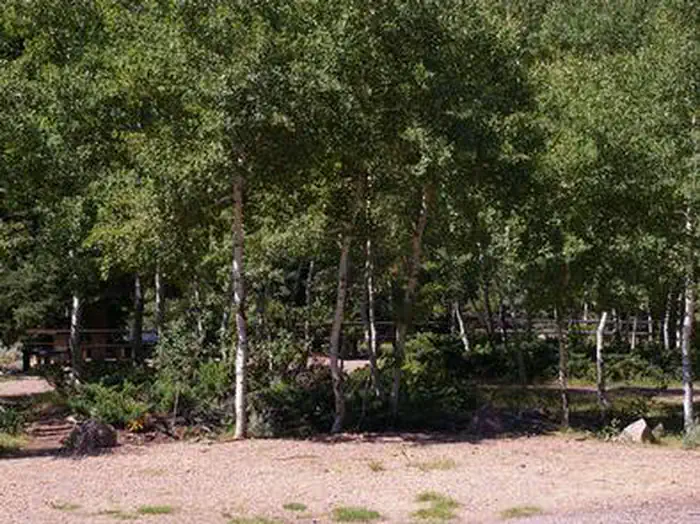
Site mix
| Group sites | 1 |
Site guide
Will my RV fit
The longest site here provides 30 feet of vehicle capacity. Most sites are shorter.
1 site. Tap a filter to narrow the list; the map follows.
| Site | Entry | Fits, ft | Surface | Shade | People / vehicles | Fires |
|---|---|---|---|---|---|---|
| G01 | Back-in | 30 | Paved | Partial | 75 / 10 | Yes |
Per-site records as published by the managing agency on Recreation.gov. Blank cells mean the agency listed nothing for that site. Check-in 2:00 PM, checkout 2:00 PM.
Amenities & rules
| Hookups | None |
| Max vehicle length | 30 ft |
| Equipment | RVs & trailers, Tents |
| Campfires | Allowed, subject to restrictions |
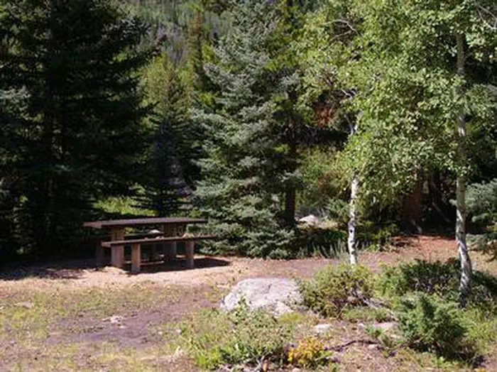
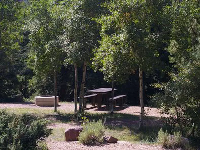
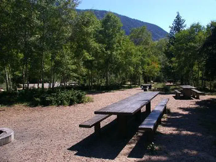
The campground is a group camping area that can accommodate up to 75 people. Picnic tables, campfire rings and grills are provided, as are vault toilets. The campground has no running water so campers must bring their own supply.
Individual sites vary. Confirm on Recreation.gov or with the managing office.
Season & status
| Season | May |
| Forest | Ashley National Forest |
| Booking | This site can be reserved by calling Toll Free 1-877-444-6777 (International 518-885-3639 or TDD 877-833-6777) or on-line. |
| Fees | $50/night for the group unit. |
Weather by month
Getting there
From Duchesne, Utah, take Highway 87 north 15 miles to the Mountain Home turnoff and turn left. Continue 2.5 miles north to the Rock Creek Store and turn left toward Rock Creek Canyon. Proceed approximately 14 miles to the campground.
| Nearest town | Duchesne, Utah |
| Coordinates | 40.5300° N, 110.6117° W · Directions ↗ |
Fire nearby
- PrescribedWest Fork Rx
24 mi from the campground · 730 acres
- PrescribedCarter Creek Rx
28 mi from the campground · 150 acres
- PrescribedNorth Fork Mill Rx
28 mi from the campground
- PrescribedTaylors Fork Rx
32 mi from the campground · 300 acres
Distance is to the reported incident point, not the fire edge. Call the managing office before you drive.
Supplies & services
| Dump station | Dump station ↗ | 1.6 mi |
| Outdoor gear | Fish Heads Fly Shop ↗ | 42.2 mi |
Locations © OpenStreetMap contributors. Call ahead; hours change seasonally.
Explore
Worth a stop
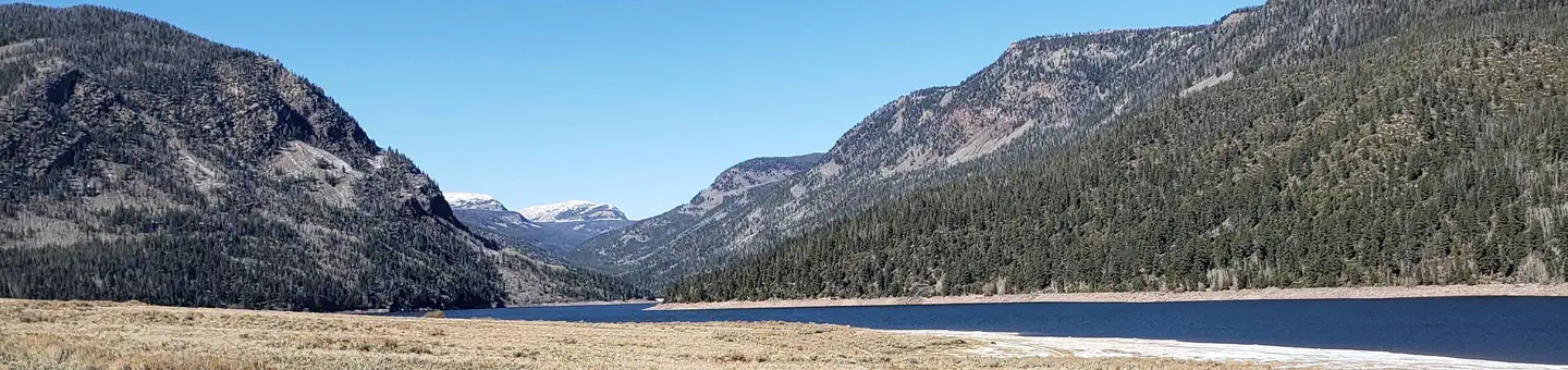
The Rock Creek Trail begins just over a mile away and connects with an accessible, paved interpretive nature trail in Yellowpine Campground. The Rock Creek Trail provides access to the High Uintas Wilderness, where hiking, backpacking, horseback riding and backcountry fishing are very popular activities. Upper Stillwater Reservoir and Lower Stillwater Ponds are nearby, offering fishing for brown and rainbow trout, swimming and picnicking. Numerous hiking trails lead into the High Uinta Wilderness Area from here.
- 0.2 mi
- 0.7 miMiners Gulch Fishing Parking Fishing Site ↗Fishing site
- 1.1 mi
- 4.8 miUpper Stillwater Boat Ramp Boating Site ↗Boat launch
- 5.1 miRock Creek Trailhead ↗Trailhead
- 11.5 miGrandview Trailhead ↗Trailhead
Trails nearby
- 1.4 miYellowpine Interpretive ↗0.5 mi trail · hiking, horse, bike
- 2 miStillwater ↗8.3 mi trail · hiking, horse, bike
- 2.1 miMcAfee Basin Spur North0.2 mi trail · hiking, horse, bike, motorcycle and 3 more
- 2.3 miCorral Creek3.7 mi trail · hiking, horse, bike, motorcycle and 2 more
- 2.4 miMcAfee Bypass0.6 mi trail · hiking, horse, bike, motorcycle and 2 more
- 3.1 miMcAfee Basin High Country3.3 mi trail · hiking, horse, bike, motorcycle and 2 more
Trail and trailhead records are the Forest Service's. Distances are straight-line to the nearer trail end. Trail conditions are not tracked here.
Public land it sits in
This campground sits inside Uinta-Wasatch-Cache National Forest.
- inUinta-Wasatch-Cache National Forest ↗National Forest · Forest Service · 2,912,954 acres
- 1.2 miHigh Uintas Wilderness ↗Wilderness · Forest Service · 453,863 acres
- 1.7 miAshley National Forest ↗National Forest · Forest Service · 1,401,248 acres
Each unit is published as a centre point and an acreage rather than a boundary, so this section stands it in for a circle of the same area. Whether a campground is inside, and how far it is from one it is outside, are both approximate.
Other campgrounds nearby
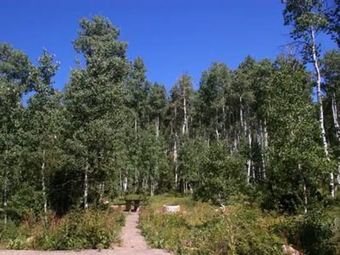
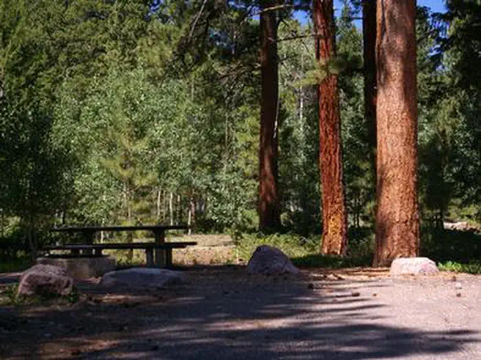
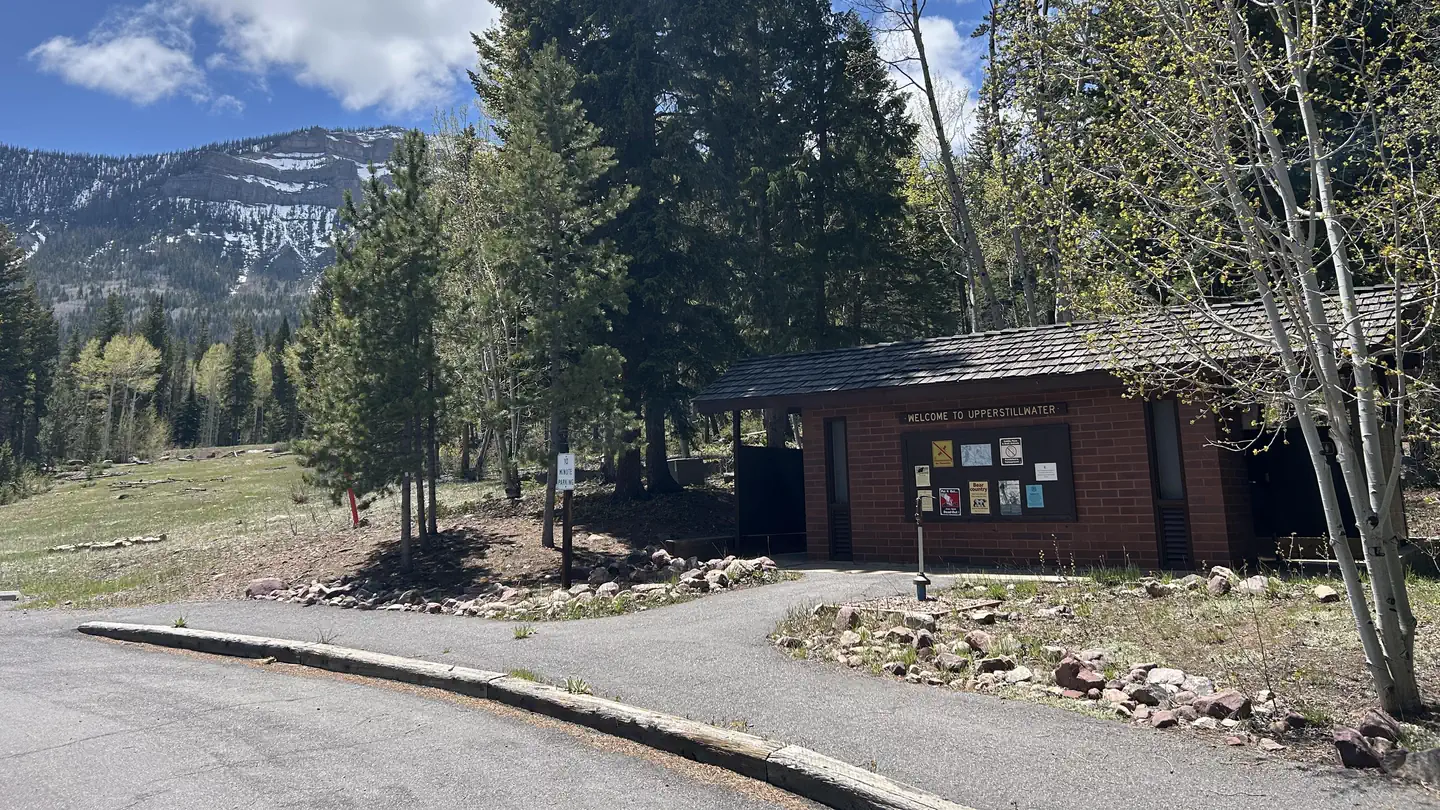
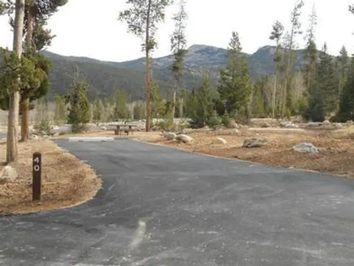
Cabin and lookout rentals nearby
On the National Register nearby
- Stockmore Ranger StationBuilding · Tabiona · 12.7 mi
Natural features
This shaded campground is set back off the main road for privacy. Dense stands of aspen and pine trees shade the campground, and sagebrush and wildflowers dot the landscape. Evenings in this area are cool.
Recreation
Rock Creek offers fishing for brown, brook and rainbow trout. Whitewater rafting and kayaking opportunities are available seasonally.
Guidebooks for Utah
We earn a small commission if you buy through these links. It does not change what we list.


Titles come from Open Library's catalog, matched by subject heading or by title.
Reference
Questions people ask
Do I need a reservation at Rock Creek Group?
Sites at Rock Creek Group are reservable on Recreation.gov. This site can be reserved by calling Toll Free 1-877-444-6777 (International 518-885-3639 or TDD 877-833-6777) or on-line. Any walk-up sites are listed on the booking page.
Source: Recreation.gov
How much does it cost to camp at Rock Creek Group?
$50/night for the group unit.
Source: Recreation.gov
What time is check-in at Rock Creek Group?
Check-in 2:00 PM, checkout 2:00 PM.
Source: Recreation.gov
How many sites does Rock Creek Group have?
1 site, including 1 group site.
Source: Recreation.gov
Will my RV fit at Rock Creek Group?
The longest site here provides 30 feet of vehicle capacity. Most sites are shorter. The sidebar tool checks a trailer or motorhome length against every site.
Source: Will my RV fit
Can I have a campfire at Rock Creek Group?
Fires are allowed in the provided rings under normal conditions. As of 2026-10-16, there are 4 active fires within 50 miles, so check current restrictions before you light one.
Source: Fire nearby
What is there to do at Rock Creek Group?
Rock Creek offers fishing for brown, brook and rainbow trout. The Recreation section on this page has the rest.
Source: Recreation
What is the nearest town to Rock Creek Group?
Duchesne, Utah. The Rock Creek Trail begins just over a mile away and connects with an accessible, paved interpretive nature trail in Yellowpine Campground.
Source: Getting there
What if Rock Creek Group is full?
The nearest public campgrounds are Miners Gulch (0.6 mi), Yellowpine (1.4 mi), and Upper Stillwater (5.1 mi).
Source: Campgrounds nearby