Hager Mountain Lookout
Hager Mountain Lookout sits at an elevation of 7,195 feet, offering guests spectacular panoramic views of the surrounding area. It is one of a diminishing number of lookouts still staffed for fire detection annually during the fire season and is open to guests in the winter months. The site is available for rent from November 15 to May 15, offering a unique lodging experience for guests seeking a bit of solitude and relaxation. For the remainder of the year, it is staffed by Forest Service personnel. This rugged, winter destination awaits the most enthusiastic outdoor adventurers as it is only accessible by foot, snowshoes or cross-country skis.
Check availability on Recreation.gov ↗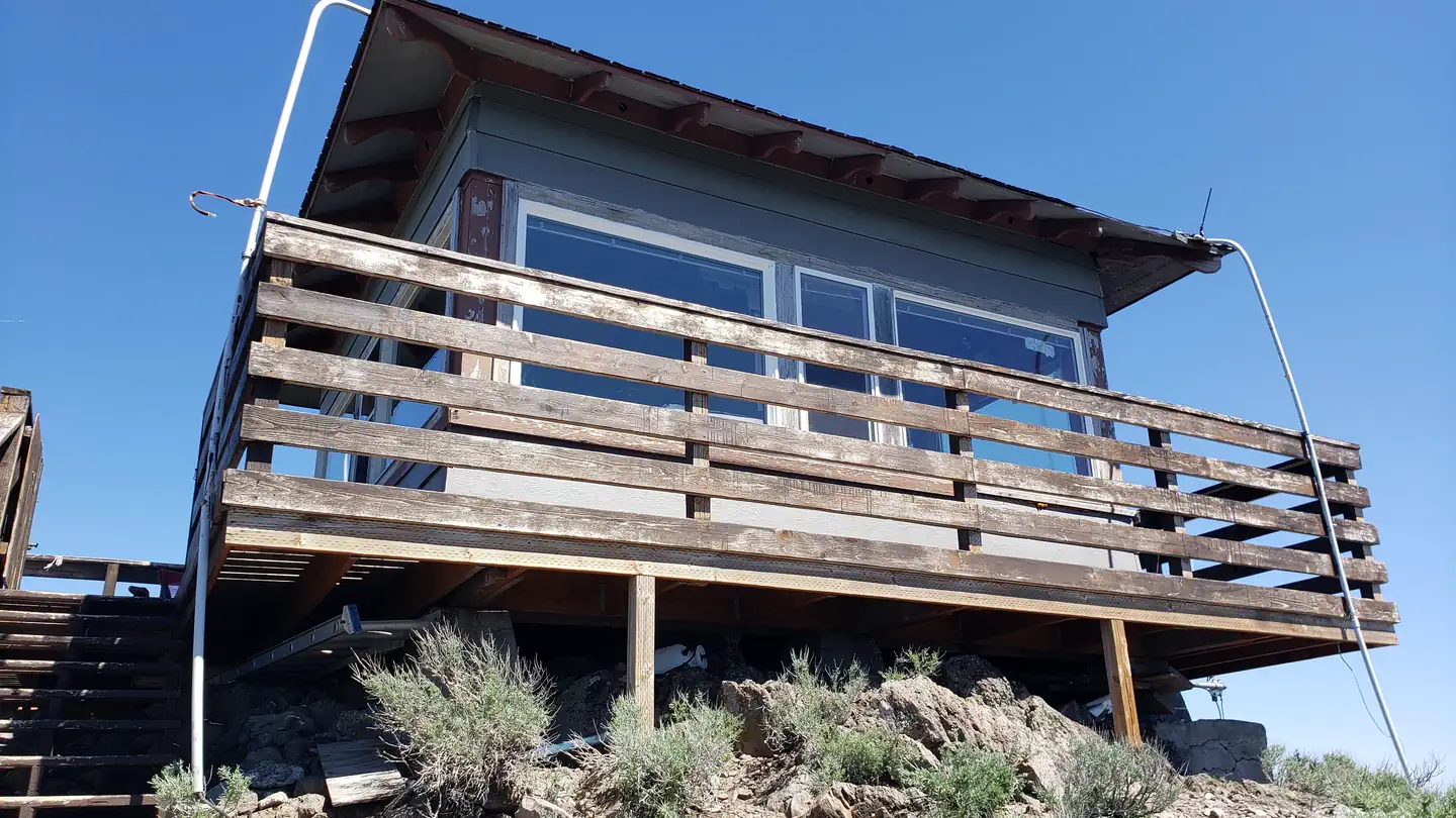
Site mix
| Cabins | 1 |
Site guide
1 site. Tap a filter to narrow the list; the map follows.
| Site | People / vehicles |
|---|---|
| 001 | 4 / 3 |
Per-site records as published by the managing agency on Recreation.gov. Blank cells mean the agency listed nothing for that site. Check-in 2:00 PM, checkout 12:00 PM.
Amenities & rules
| Pets | Allowed |
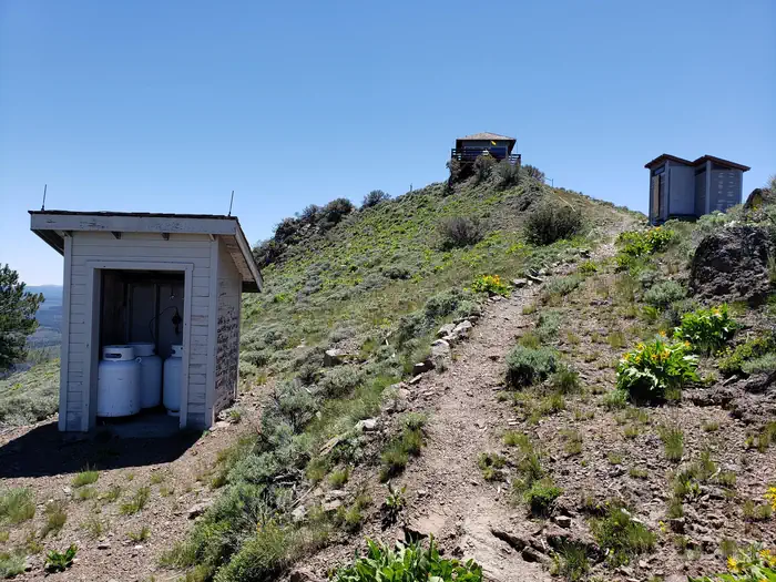
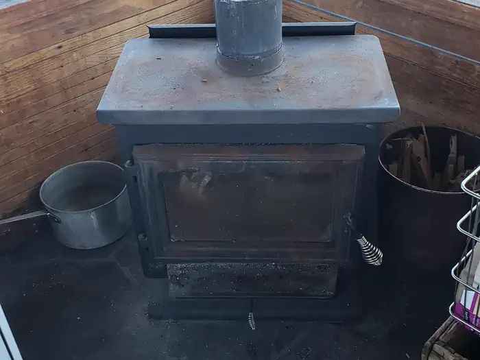
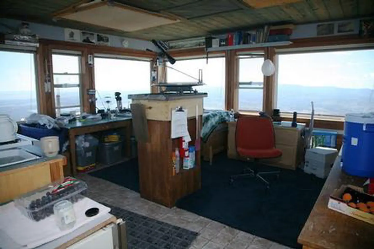
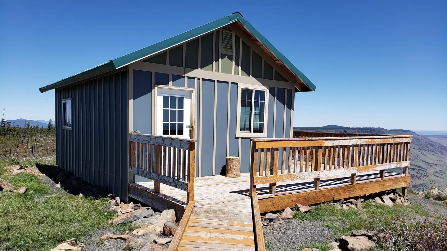
The fire lookout is a 14' x 14' room that can accommodate up to four people. It is furnished with three beds and mattresses. It is also equipped with a countertop, woodstove and propane stove. Firewood is provided. A picnic table is provided outside. A pit toilet is also located near the lookout. There is no water on-site, so guests must bring sufficient supplies for drinking, cooking and washing. Guests must also provide their own food, sleeping bags, sleeping pads, a light source, towels, dish soap, matches, cooking gear, first aid kit, toilet paper and garbage bags.
Individual sites vary. Confirm on Recreation.gov or with the managing office.
Weather by month
Getting there
From Silver Lake, drive to County Road 4-12. Travel south on County Road 4-12, which turns into Forest Road 28. Continue south to milepost 9. The car pull-off is on the left. Walk, ski or snowshoe 4 miles to the National Recreation Trail to get to Hager Lookout.
| Nearest town | Silver Lake, Oregon |
| Coordinates | 43.0093° N, 121.0317° W · Directions ↗ |
Fire nearby
- PrescribedCoyote Rx
13 mi from the campground
Distance is to the reported incident point, not the fire edge. Call the managing office before you drive.
Explore
Trails nearby
- under 0.1 miHager Spur ↗1.2 mi trail · hiking, horse, bike · national_recreation_or_other
- 3.1 miAuger Valley Trail0.5 mi trail · hiking, horse, bike
Trailheads within three miles
- 3 miFarm Well Horse Camp/Trailhead ↗Fremont-Winema National Forest · Season 06/15 to 09/15; 09/16-06/14 Open with reduced services
Trail and trailhead records are the Forest Service's. Distances are straight-line to the nearer trail end. Trail conditions are not tracked here.
Public land it sits in
This campground sits inside Fremont-Winema National Forest.
- inFremont-Winema National Forest ↗National Forest · Forest Service · 2,815,968 acres
Each unit is published as a centre point and an acreage rather than a boundary, so this section stands it in for a circle of the same area. Whether a campground is inside, and how far it is from one it is outside, are both approximate.
Other campgrounds nearby


Cabin and lookout rentals nearby
Natural features
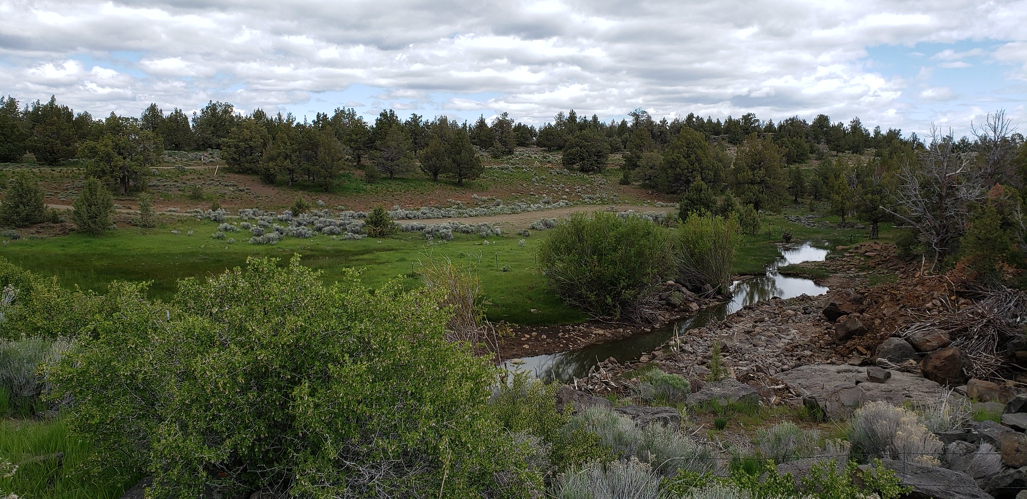
A series of dome-building volcanic eruptions occurring about 8 million years ago gave birth to Hager Mountain. The lookout is perched on the bald cap rocks that make up this mountain and offers 360 degree views as far as Mount Hood and Mount Shasta on a clear day. Surrounded by towering snow-capped peaks, volcanic landscapes and wide-open sage basins, the area is known for scenic vistas and wild places where guests can still find solitude.
Recreation
Hiking, wildlife viewing, stargazing, snowshoeing and skiing are popular activities. Hager Mountain is used during fire season to keep watch over the surrounding flat lands for any sign of smoke. During the winter, it becomes a winter wonderland and has one of the best snowshoeing climbs available in southern Oregon. The strenuous 4-mile hike up the west side of the peak leads to a panoramic view of the landscape. The lookout is a great spot for winter camping. At night the lookout is an ideal setting for stargazing, as constellations and planets put on a dazzling display.
Guidebooks for Oregon
We earn a small commission if you buy through these links. It does not change what we list.

Titles come from Open Library's catalog, matched by subject heading or by title.
Reference
Questions people ask
Do I need a reservation at Hager Mountain Lookout?
Sites at Hager Mountain Lookout are reservable on Recreation.gov. Any walk-up sites are listed on the booking page.
Source: Recreation.gov
What time is check-in at Hager Mountain Lookout?
Check-in 2:00 PM, checkout 12:00 PM.
Source: Recreation.gov
How many sites does Hager Mountain Lookout have?
1 site, including 1 cabin.
Source: Recreation.gov
Are pets allowed at Hager Mountain Lookout?
Yes, pets are allowed at Hager Mountain Lookout. Leash rules apply.
Source: Recreation.gov
Is there cell service at Hager Mountain Lookout?
FCC coverage maps show Verizon 4G LTE, AT&T 5G, and T-Mobile 4G LTE at the campground point. Terrain changes that from one site to the next.
Source: FCC Broadband Map
What is there to do at Hager Mountain Lookout?
Hiking, wildlife viewing, stargazing, snowshoeing and skiing are popular activities. The Recreation section on this page has the rest.
Source: Recreation
What is the nearest town to Hager Mountain Lookout?
Silver Lake, Oregon.
Source: Getting there
What if Hager Mountain Lookout is full?
The nearest public campgrounds are Thompson Reservoir (4.5 mi), East Bay Campground (4.8 mi), and Silver Creek Marsh (5.2 mi).
Source: Campgrounds nearby