Mount Pisgah Campground
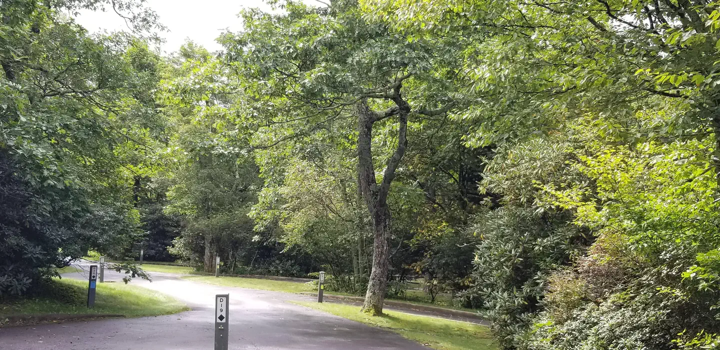
One of the most popular of the Parkway's campgrounds, Mount Pisgah Campground is perched in the rolling mountains of western North Carolina on the southernmost end of the famous Blue Ridge Parkway. Surrounded by dense hardwood forests at an elevation of 4980 feet, it offers shady, cool respite from the summer heat. Whichever end of the day appeals, spectacular sunrise and sunset panoramic views can be enjoyed from nearby overlooks. Several popular hiking trails, ranging from moderate to strenuous, are accessible from the campground.
Some sites take reservations on Recreation.gov. Others are first-come, first-served.
More like this: first-come in North Carolina · reservable in North Carolina · big rigs in North Carolina · pets allowed in North Carolina
Check availability on Recreation.gov ↗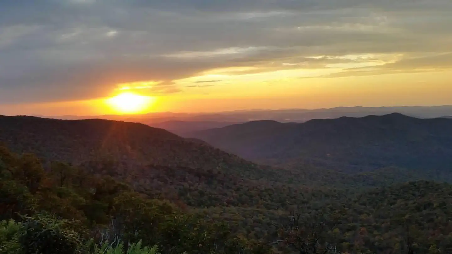
Site mix
| Tent-only | 65 |
| RV, no hookups | 50 |
| Standard, no hookups | 11 |
| Host/management | 2 |
Site guide
Will my RV fit
The longest site here provides 80 feet of vehicle capacity. Most sites are shorter.
126 sites in 4 loops. Tap a filter to narrow the list; the map follows.
| Site | Loop | Type | Entry | Fits, ft | Surface | Shade | People / vehicles | Fires | Accessible |
|---|---|---|---|---|---|---|---|---|---|
| A01 | Loop A | RV | Back-in | 23 | Paved | 6 / 2 | Yes | ||
| A03 | Loop A | RV | Back-in | 20 | Paved | 6 / 2 | Yes | ||
| A04 | Loop A | RV | Back-in | 50 | Paved | 6 / 2 | Yes | ||
| A05 | Loop A | RV | Back-in | 23 | Paved | 6 / 2 | Yes | ||
| A06 | Loop A | RV | Pull-through | 55 | Paved | 6 / 2 | Yes | ||
| A07 | Loop A | RV | Back-in | 20 | Paved | 6 / 2 | Yes | Yes | |
| A08 | Loop A | RV | Pull-through | 60 | Paved | 6 / 2 | Yes | ||
| A09 | Loop A | RV | Back-in | 23 | Paved | 6 / 2 | Yes | Yes | |
| A10 | Loop A | RV | Pull-through | 70 | Paved | 6 / 2 | Yes | ||
| A11 | Loop A | RV | Back-in | 22 | Paved | Full | 6 / 2 | Yes |
Per-site records as published by the managing agency on Recreation.gov. Blank cells mean the agency listed nothing for that site. Check-in 3:00 PM, checkout 12:00 PM.
Amenities & rules
| Hookups | None |
| Max vehicle length | 80 ft |
| Equipment | RVs & trailers, Tents |
| Pets | Allowed |
| Campfires | Allowed, subject to restrictions |
| Tent pads | Yes |
| Accessibility | Sites A07, A09, B19, B20 are listed accessible |
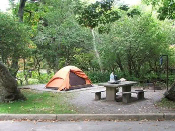
Both RV and tent sites are available at this campground. Modern amenities like flush toilets, drinking water, dump station, and a country store create a comfortable camping experience. Sites come with picnic tables and fire rings, perfect for barbecues and marshmallow roasting. These sites must be booked in person at the campground kiosk. Mt. Pisgah campground is oftentimes full each weekend and holidays.
Individual sites vary. Confirm on Recreation.gov or with the managing office.
Weather by month
Getting there
From Interstate 40 west, take exit 47 and turn south onto Highway 191. Stay in the right hand lane and turn south again onto the Blue Ridge Parkway at the North Carolina Arboretum; enjoy the amazing views and nine tunnels along the Blue Ridge Parkway for 15 miles (24 km). You will pass the Mt.
| Nearest town | Canton, North Carolina |
| Coordinates | 35.4028° N, 82.7567° W · Directions ↗ |
Supplies & services
| Dump station | Dump station ↗ | 8.6 mi |
| Outdoor gear | The Hub ↗ | 9.3 mi |
| RV sales & service | Camping World ↗ | 13.6 mi |
Locations © OpenStreetMap contributors. Call ahead; hours change seasonally.
Explore
Video
Mount Pisgah Campground Blue Ridge Parkway Complete Walk-Through, North Carolina
Trails nearby
- 0.2 miShut-In NRT ↗18 mi trail · hiking, horse, bike · national_recreation_or_other
- 0.2 miBuck Springs ↗6.1 mi trail · hiking, horse, bike
- 0.7 miPilot Rock3.1 mi trail · hiking, horse, bike
- 0.8 miLaurel Mountain ↗7 mi trail · hiking, horse, bike
- 1 miThompson Creek2.2 mi trail · hiking, horse, bike
- 1.1 miLaurel Mountain Connector0.3 mi trail · hiking, horse, bike
Trail and trailhead records are the Forest Service's. Distances are straight-line to the nearer trail end. Trail conditions are not tracked here.
Public land it sits in
This campground sits inside National Forests in North Carolina.
- inNational Forests in North Carolina ↗National Forest · Forest Service · 3,026,237 acres
- 3.1 miShining Rock Wilderness ↗Wilderness · Forest Service · 18,477 acres
- 9.3 miMiddle Prong Wilderness ↗Wilderness · Forest Service · 7,482 acres
Each unit is published as a centre point and an acreage rather than a boundary, so this section stands it in for a circle of the same area. Whether a campground is inside, and how far it is from one it is outside, are both approximate.
Other campgrounds nearby

Cabin and lookout rentals nearby
Historic landmarks nearby

Natural features
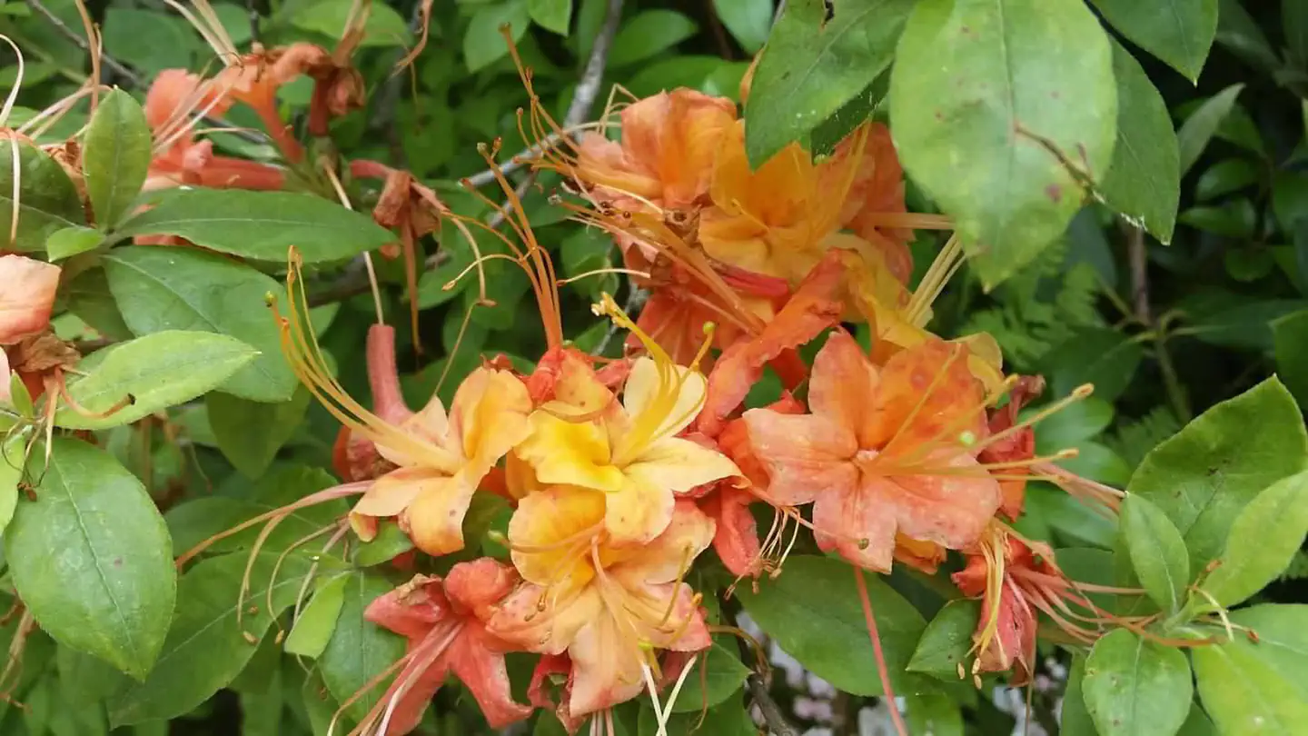
Mount Pisgah is part of the Appalachian Mountain Range, an area of the country with scenery that never disappoints, whether blanketed in wildflowers in the spring or bursting with red, orange, and yellow hues in the fall. The Blue Ridge Parkway is a scenic byway that follows the high crests of the central and southern Appalachians for 469 miles from Shenandoah National Park in Virginia to the Great Smoky Mountains National Park in North Carolina. At an elevation of 4,980 feet (1,518 m), Mount Pisgah offers moderate to cool temperatures during camping seasons.
Recreation
Several popular hiking trails, ranging from moderate to difficult, are easily accessible from the campground. The Frying Pan Trail leads adventurers 1.6 miles (2.6 km) south to the Fire Tower at Frying Pan Mountain. Hiking north on the trail you'll arrive at the Pisgah Inn and from there, the Buck Spring Trail leads visitors through the thick hardwood forest and along rocky terrain to the Mt. Pisgah Parking Area. From the parking area it is a 1.6 mile (2.6 km) uphill trek to the top of Mt. Pisgah. The Shut-In Trail is the original route from the Biltmore Estate to the Buck Spring Lodge, and heads north along the Blue Ridge Parkway toward Asheville. The Buck Spring Lodge was a mountain getaway for George Vanderbilt, owner of the famous Biltmore Estate. The North Carolina Mountains to Sea Trail follows both the Buck Spring and Shut-In Trails, and connects to trails in Pisgah National Forest.
Nearby
The beautiful Pisgah Inn is located adjacent to the campground and offers a restaurant and country store. Additionally, historic Asheville, North Carolina is about 20 miles away, offering grocery stores, fuel and medical facilities. The Blue Ridge Parkway is also surrounded by 2 other national parks. Shenandoah National Park is to the immediate north of the Blue Ridge Parkway. Great Smoky Mountains National Park is south of the Blue Ridge Parkway. Mt. Pisgah Campground is closer to Great Smoky Mountains National Park.
Guidebooks for Blue Ridge Parkway
We earn a small commission if you buy through these links. It does not change what we list.
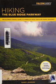
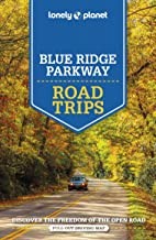 Lonely Planet Blue Ridge Parkway Road Trips 2Amy C. Balfour and Virginia Maxwell, 2022Find at Bookshop.org
- Hiking and Traveling the Blue Ridge Parkway, Revised and Expanded EditionLeonard M. Adkins and J. Richard Wells, 2018Find at Bookshop.org
Titles come from Open Library's catalog, matched by subject heading or by title.
Reference
Questions people ask
Do I need a reservation at Mount Pisgah Campground?
For some sites. Some sites take reservations on Recreation.gov. Others are first-come, first-served.
Source: Recreation.gov
What time is check-in at Mount Pisgah Campground?
Check-in 3:00 PM, checkout 12:00 PM.
Source: Recreation.gov
How many sites does Mount Pisgah Campground have?
128 sites, including 65 tent-only sites, 50 RV sites without hookups, and 11 standard sites without power.
Source: Recreation.gov
Will my RV fit at Mount Pisgah Campground?
Recreation.gov lists no practical vehicle capacity limit for the largest site here, which usually means pull-through or open parking. The sidebar tool checks a trailer or motorhome length against every site.
Source: Will my RV fit
Are there showers or a dump station at Mount Pisgah Campground?
Modern amenities like flush toilets, drinking water, dump station, and a country store create a comfortable camping experience.
Source: Recreation.gov
Are pets allowed at Mount Pisgah Campground?
Yes, pets are allowed at Mount Pisgah Campground. Leash rules apply.
Source: Recreation.gov
Can I have a campfire at Mount Pisgah Campground?
Fires are allowed in the provided rings under normal conditions.
Source: Recreation.gov
Are there accessible sites at Mount Pisgah Campground?
Sites A07, A09, B19, and B20 are listed accessible on Recreation.gov. What that covers (a paved pad, an accessible table, a nearby accessible restroom) is on each site's booking page.
Source: Recreation.gov
Is there cell service at Mount Pisgah Campground?
FCC coverage maps show Verizon 4G LTE and AT&T 4G LTE at the campground point. Terrain changes that from one site to the next.
Source: FCC Broadband Map
What is there to do at Mount Pisgah Campground?
Several popular hiking trails, ranging from moderate to difficult, are easily accessible from the campground. The Recreation section on this page has the rest.
Source: Recreation
What is the nearest town to Mount Pisgah Campground?
Canton, North Carolina. The beautiful Pisgah Inn is located adjacent to the campground and offers a restaurant and country store.
Source: Getting there
What if Mount Pisgah Campground is full?
The nearest public campgrounds are Wolf Ford Horse Camp (1.7 mi), Wash Creek Horse Camp (5.4 mi), and North Mills River (6.3 mi).
Source: Campgrounds nearby