White Pine South Group Camp
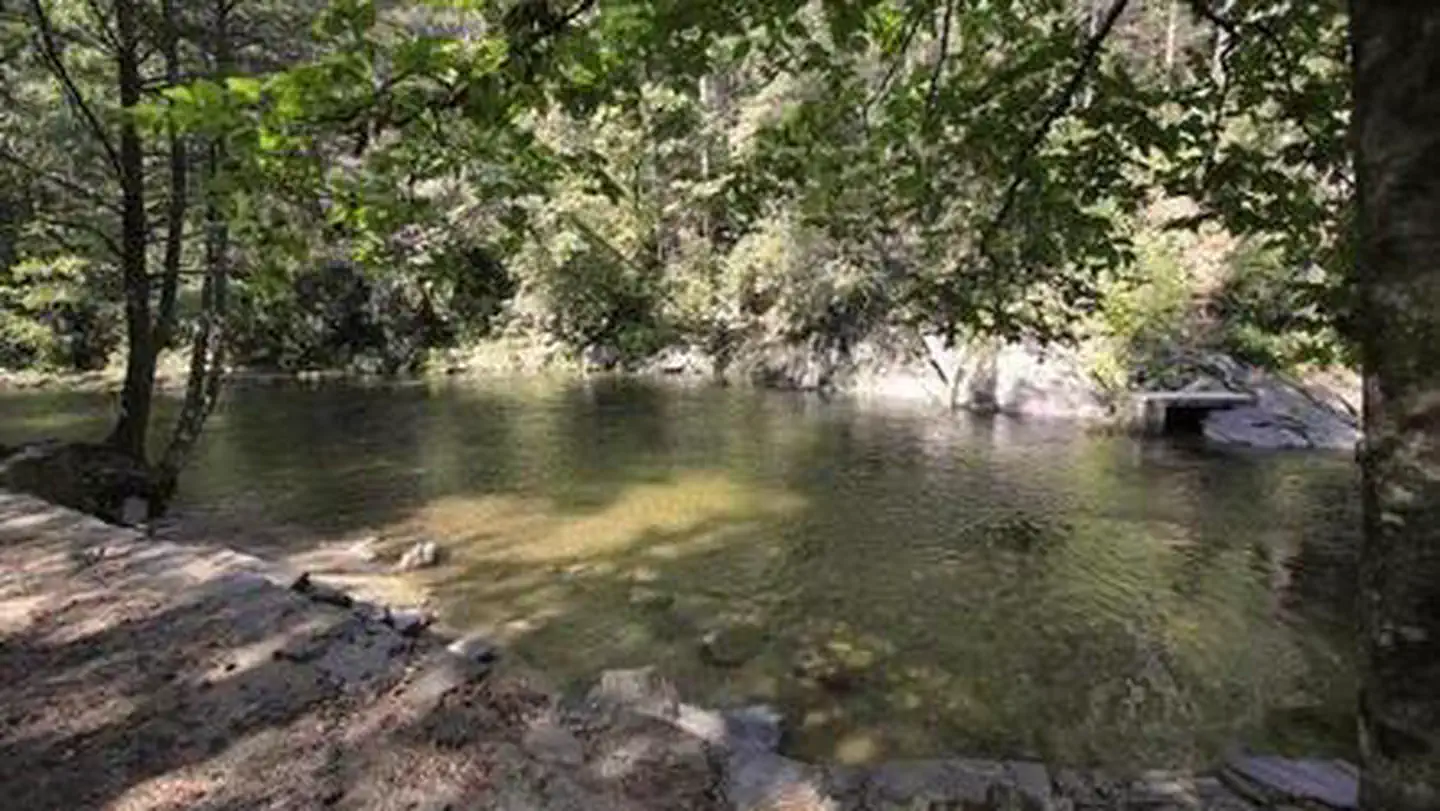
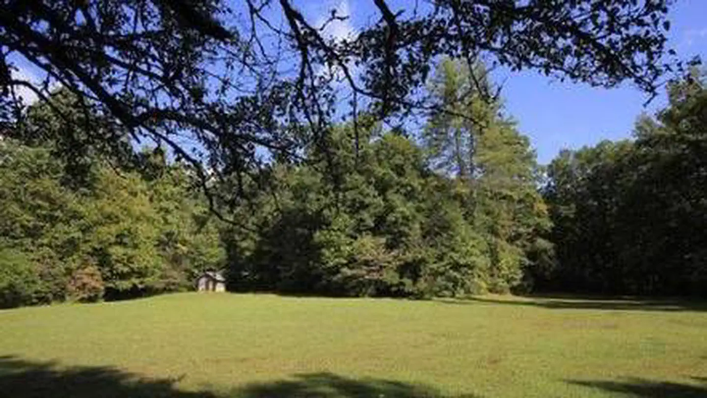
White Pine South Group Camp is one of two group campsites nestled along Avery Creek in the lush forests of the Appalachian Mountains. The facility provides tent camping year-round and can accommodate families, scout troops and other groups of up to 25 people. Visitors have access to a number of recreation opportunities, including hiking, swimming, mountain biking, fishing and picnicking, in one of the most scenic areas in the state.
More like this: reservable in North Carolina · tent only in North Carolina · pets allowed in North Carolina · group sites in North Carolina
Check availability on Recreation.gov ↗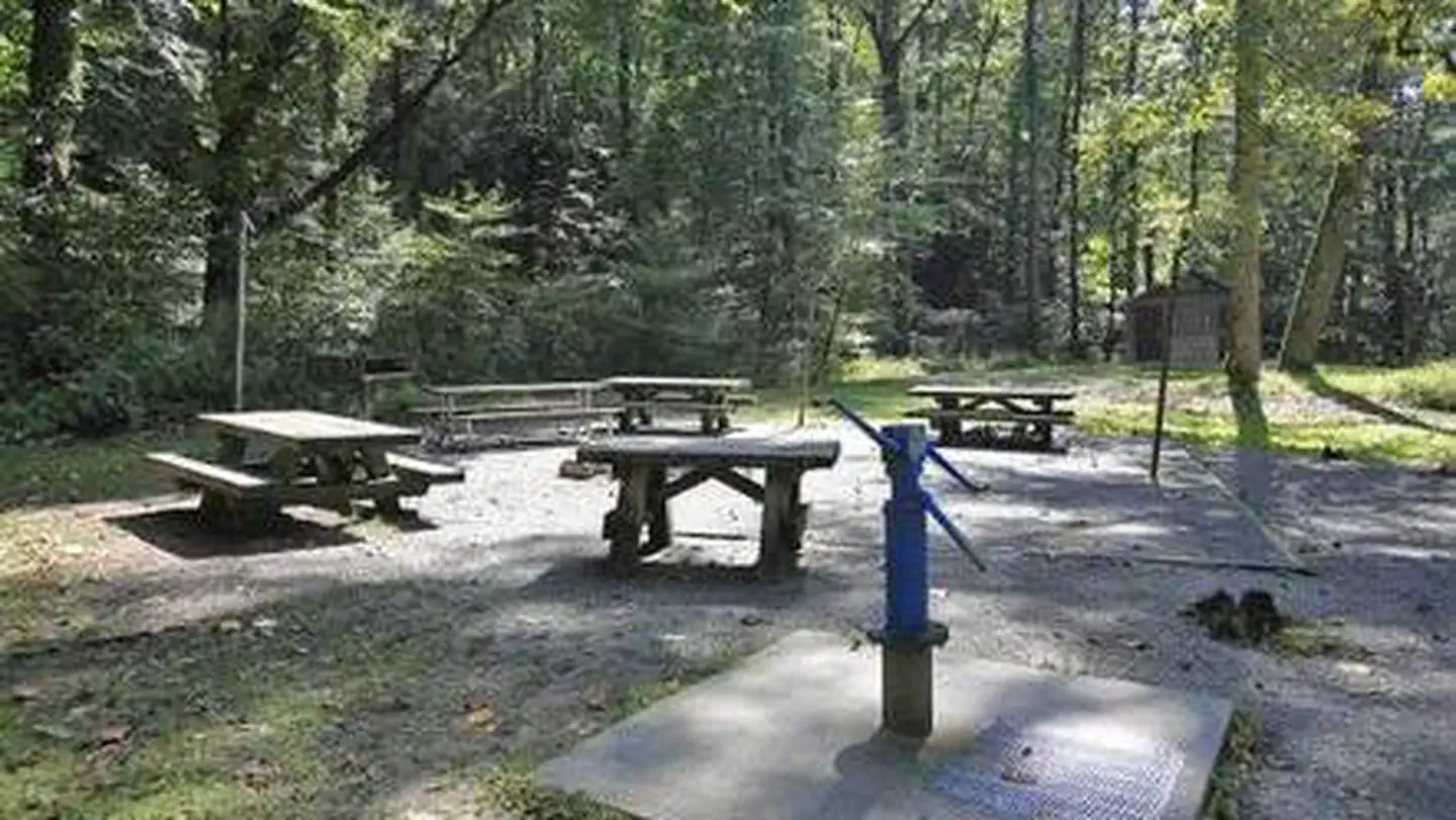
Site mix
| Group tent areas | 1 |
Site guide
1 site. Tap a filter to narrow the list; the map follows.
| Site | Surface | Shade | People / vehicles | Fires |
|---|---|---|---|---|
| 001 | Gravel | Partial | 25 / 10 | Yes |
Per-site records as published by the managing agency on Recreation.gov. Blank cells mean the agency listed nothing for that site. Check-in 2:00 PM, checkout 12:00 PM.
Amenities & rules
| Equipment | Tents |
| Pets | Allowed |
| Campfires | Allowed, subject to restrictions |
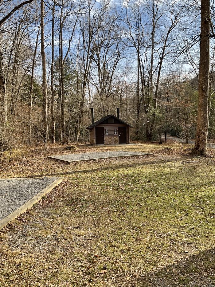
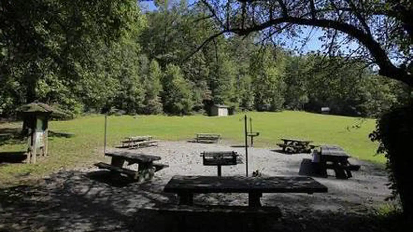
The site is equipped with picnic tables, vault toilets, lantern posts, campfire rings with grills and drinking water ( drinking water currently not available Sorry for the inconvenience).
Individual sites vary. Confirm on Recreation.gov or with the managing office.
Weather by month
Getting there
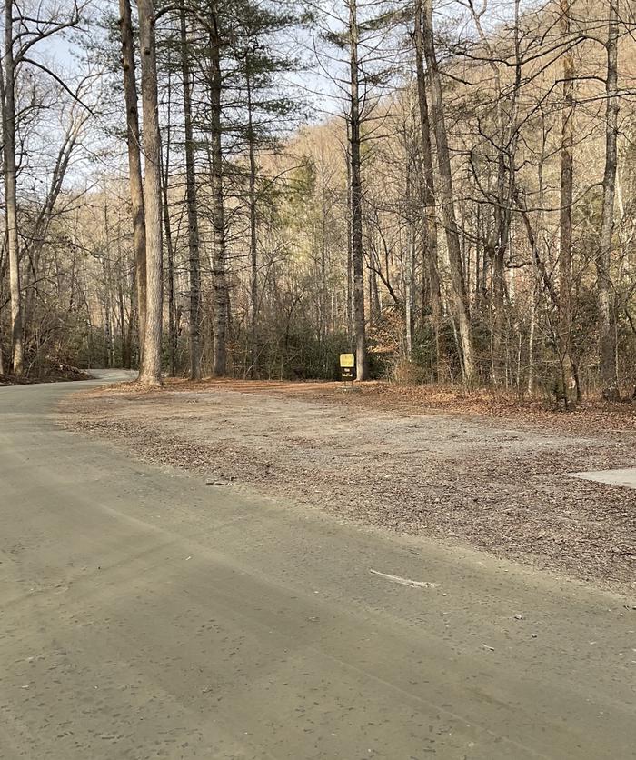
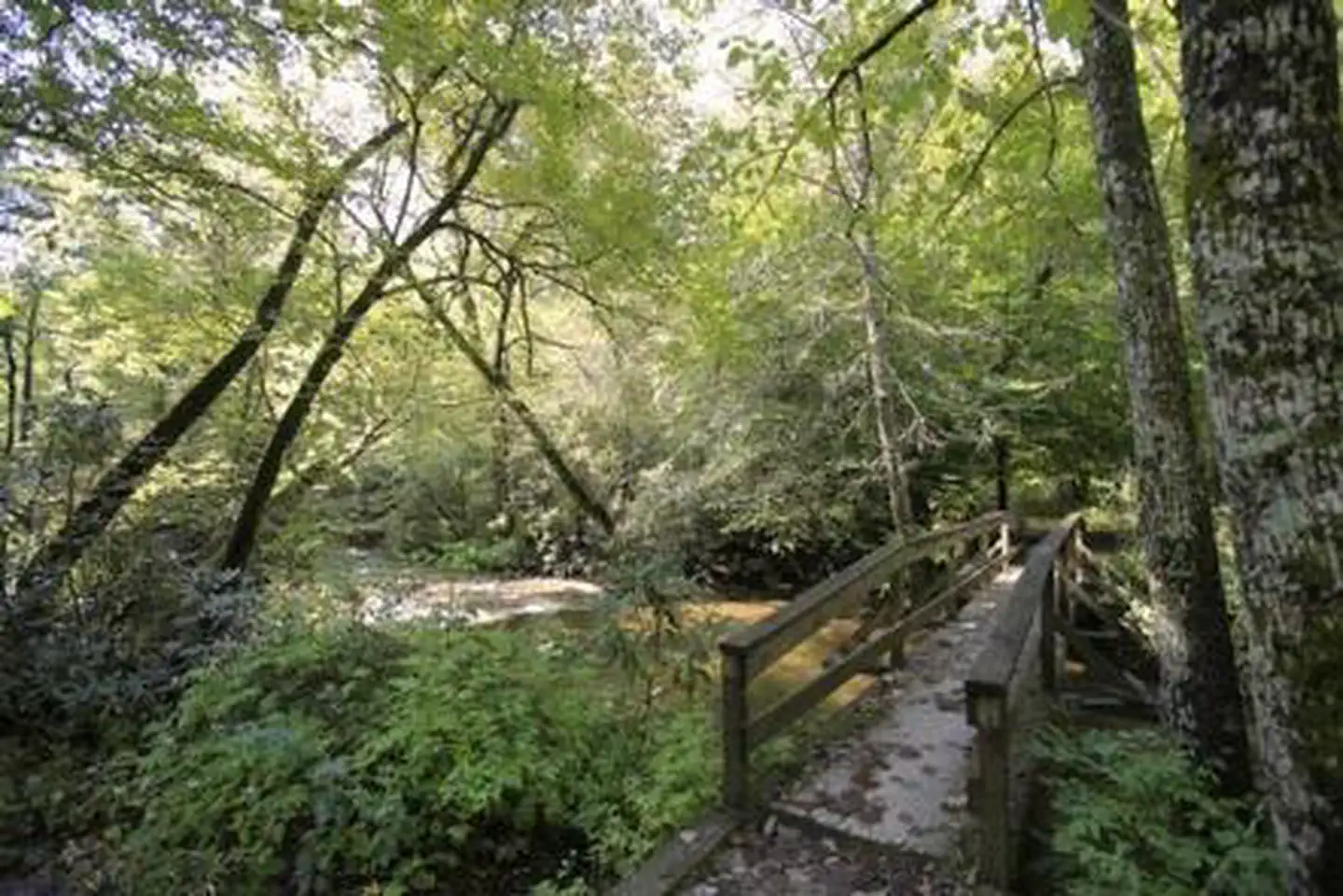
From the Asheville airport, take Highway 280 south to Brevard. Turn right on U.S. Highway 276. Go 1.75 miles to Forest Road 477 and turn right. Go 0.75-mile to the parking area on the right side of the road. Walk across the bridge to the campground entrance road.
| Nearest town | Pisgah Forest, North Carolina |
| Coordinates | 35.2919° N, 82.7386° W · Directions ↗ |
Supplies & services
| Dump station | Dump station ↗ | 1.1 mi |
| Outdoor gear | The Hub ↗ | 2.2 mi |
| RV sales & service | Camping World ↗ | 14.8 mi |
Locations © OpenStreetMap contributors. Call ahead; hours change seasonally.
Explore
Trails nearby
- 0.7 miExercise Trail1.4 mi trail · hiking, horse, bike
- 0.8 miAndy Cove Nature NRT ↗0.6 mi trail · hiking, horse, bike · national_recreation_or_other
- 0.9 miBennett Gap2.9 mi trail · hiking, horse, bike
- 0.9 miStarens Branch0.3 mi trail · hiking, horse, bike
- 0.9 miPressley Cove1.1 mi trail · hiking, horse, bike
- 1 miNorth Slope Connector1 mi trail · hiking, horse, bike
Trailheads within three miles
- 0.8 miAndy Cove Trailhead ↗National Forests in North Carolina · Season Year-round
- 2.1 miLooking Glass Rock Trailhead ↗National Forests in North Carolina · Season Year-round
Trail and trailhead records are the Forest Service's. Distances are straight-line to the nearer trail end. Trail conditions are not tracked here.
Public land it sits in
This campground sits inside National Forests in North Carolina.
- inNational Forests in North Carolina ↗National Forest · Forest Service · 3,026,237 acres
- 6 miShining Rock Wilderness ↗Wilderness · Forest Service · 18,477 acres
- 9.7 miMiddle Prong Wilderness ↗Wilderness · Forest Service · 7,482 acres
Each unit is published as a centre point and an acreage rather than a boundary, so this section stands it in for a circle of the same area. Whether a campground is inside, and how far it is from one it is outside, are both approximate.
Other campgrounds nearby

Cabin and lookout rentals nearby
Historic landmarks nearby

Natural features
The campground lies in Pisgah National Forest at an elevation of 2,600 feet. The surrounding land boasts mile-high peaks, cascading waterfalls and slopes thickly forested with hardwoods. The group camping area is adjacent to Avery Creek and near the beautiful Davidson River.
Recreation
The forest is known for its hiking and mountain biking trails, several of which are close to the campground. Avery Creek and the Davidson River offer great trout fishing.
Nearby
The city of Asheville is about an hour away and offers numerous cultural attractions, art galleries, shops and restaurants. The small town of Brevard is also nearby and has various amenities and services.
Guidebooks for North Carolina
We earn a small commission if you buy through these links. It does not change what we list.

- Great Day Hikes on North Carolina's Mountains-To-Sea TrailFriends of the Mountains-to-Sea Trail and Jim Grode, 2020Find at Bookshop.org
Titles come from Open Library's catalog, matched by subject heading or by title.
Reference
Questions people ask
Do I need a reservation at White Pine South Group Camp?
Sites at White Pine South Group Camp are reservable on Recreation.gov. Any walk-up sites are listed on the booking page.
Source: Recreation.gov
What time is check-in at White Pine South Group Camp?
Check-in 2:00 PM, checkout 12:00 PM.
Source: Recreation.gov
How many sites does White Pine South Group Camp have?
1 site, including 1 group tent area.
Source: Recreation.gov
Can I bring an RV to White Pine South Group Camp?
White Pine South Group Camp is listed for tents only.
Source: Recreation.gov
Are pets allowed at White Pine South Group Camp?
Yes, pets are allowed at White Pine South Group Camp. Leash rules apply.
Source: Recreation.gov
Can I have a campfire at White Pine South Group Camp?
Fires are allowed in the provided rings under normal conditions.
Source: Recreation.gov
What is there to do at White Pine South Group Camp?
The forest is known for its hiking and mountain biking trails, several of which are close to the campground. The Recreation section on this page has the rest.
Source: Recreation
What is the nearest town to White Pine South Group Camp?
Pisgah Forest, North Carolina. The city of Asheville is about an hour away and offers numerous cultural attractions, art galleries, shops and restaurants.
Source: Getting there
What if White Pine South Group Camp is full?
The nearest public campgrounds are Davidson River (1.2 mi), Cove Creek Upper Group Camp (4.4 mi), and Cove Creek Lower Group Camp (4.4 mi).
Source: Campgrounds nearby