Bald Knob Lookout
Bald Knob Lookout is perched atop Bald Knob at an elevation of 3,630 feet in the Rogue River-Siskiyou National Forest. The lookout offers visitors a unique lodging experience and panoramic views of the surrounding area. Originally developed in 1931 as a lookout site, Bald Knob served as an Aircraft Warning Service (AWS) observation station between 1942 and 1944. The Forest Service removed and replaced the original with the present flat top structure in 1963. The lookout tower is available for reservations from Memorial Day through October, and guests must bring several of their own amenities to ensure a safe and comfortable stay.
Check availability on Recreation.gov ↗

Site mix
| Cabins | 1 |
Site guide
1 site. Tap a filter to narrow the list; the map follows.
| Site | Surface | Shade | People / vehicles | Fires |
|---|---|---|---|---|
| C1 | Gravel | Full | 4 / 2 | Yes |
Per-site records as published by the managing agency on Recreation.gov. Blank cells mean the agency listed nothing for that site. Check-in 1:00 PM, checkout 11:00 AM.
Amenities & rules
| Fees | $65.00 |
The 16 x 16 foot one-room flat top cabin's furnishings include a single bed and a small table and chairs. Due to recent vandalism to propane tank and winter storm damage, there will be no propane heat, stove, refrigerator, and lights available until the next 2026 season. Outside amenities include a picnic table and campfire ring. A primitive vault toilet is located approximately 100 feet from the tower. There is no water on site, so visitors must bring plenty of their own for drinking, cooking and washing. Guests must also supply their own food, cooking utensils, sleeping bags, sleeping pads, towels, dish soap, matches, cooking gear, toilet paper and garbage bags. Please bring your own light source. The site has sufficient space for one small tent, but strong winds could blow a tent off the mountain unless adequately weighted down inside.
Individual sites vary. Confirm on Recreation.gov or with the managing office.
Weather by month
Getting there
From Portland take 1-5S to OR-42 West. Take OR 542 S to Powers. Drive south from the Powers Ranger District office on Highway 242 through the town of Powers to the Forest boundary. Continue on Forest Service Road 33 along the South Fork of the Coquille River for approximately 11.5 miles to the junction of Forest Service Road 3348.
| Nearest town | Powers, Oregon |
| Coordinates | 42.6940° N, 124.0280° W · Directions ↗ |
Supplies & services
| Dump station | Dump station ↗ | 4.4 mi |
| Outdoor gear | Rogue Outdoor Store ↗ | 27.5 mi |
Locations © OpenStreetMap contributors. Call ahead; hours change seasonally.
Explore
Worth a stop
Visit Crater Lake National Park and learn about its unique natural and cultural history. Reaching depths of 1,943 feet, Crater Lake is the deepest lake in the United States and one of the ten deepest lakes in the world. Experience 172 miles of diverse river and mountain landscapes along the Rogue-Umpqua National Scenic Byway. Travel from rolling oak-covered hills and towering coniferous forests, to roaring white water rapids and incised inter-canyon lava flows. The highway travels alongside the Upper Rogue and North Umpqua Wild and Scenic Rivers that contain world-class fisheries.
- 4.1 mi
- 7.4 mi
Trails nearby
- 0.4 miPanther Ridge ↗9.4 mi trail · hiking, horse
- 1.3 miCoquille River Falls0.4 mi trail · hiking
- 1.9 miAzelea Lake1.4 mi trail · hiking, horse
- 2 miClay Hill4.3 mi trail · hiking
- 3.1 miDaphne Grove ↗0.7 mi trail · hiking
- 4.1 miRogue River (NRT) ↗14.2 mi trail · hiking, horse, bike · national_recreation_or_other
Trailheads within three miles
- 0.4 miPanther Ridge - Bald Knob Trailhead ↗Rogue River-Siskiyou National Forest
- 1.3 miCoquille River Falls Trailhead ↗Rogue River-Siskiyou National Forest
- 1.9 miAzalea Lake Trailhead ↗Rogue River-Siskiyou National Forest
- 2.2 miPanther Ridge - Clay Hill Trailhead ↗Rogue River-Siskiyou National Forest
Trail and trailhead records are the Forest Service's. Distances are straight-line to the nearer trail end. Trail conditions are not tracked here.
Public land it sits in
This campground sits inside Rogue River-Siskiyou National Forests.
- inRogue River-Siskiyou National Forests ↗National Forest · Forest Service · 1,852,705 acres
- 0.2 miWild Rogue Wilderness ↗Wilderness · BLM/FS · 35,203 acres
- 5.9 miCopper Salmon Wilderness ↗Wilderness · Forest Service · 13,724 acres
Each unit is published as a centre point and an acreage rather than a boundary, so this section stands it in for a circle of the same area. Whether a campground is inside, and how far it is from one it is outside, are both approximate.
Other campgrounds nearby


Cabin and lookout rentals nearby
Natural features
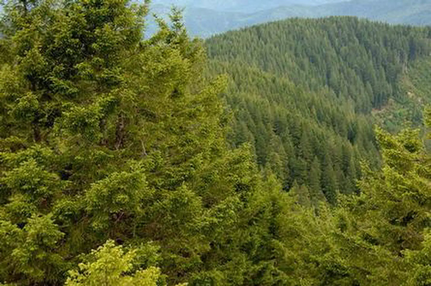
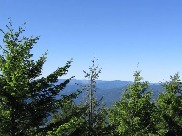
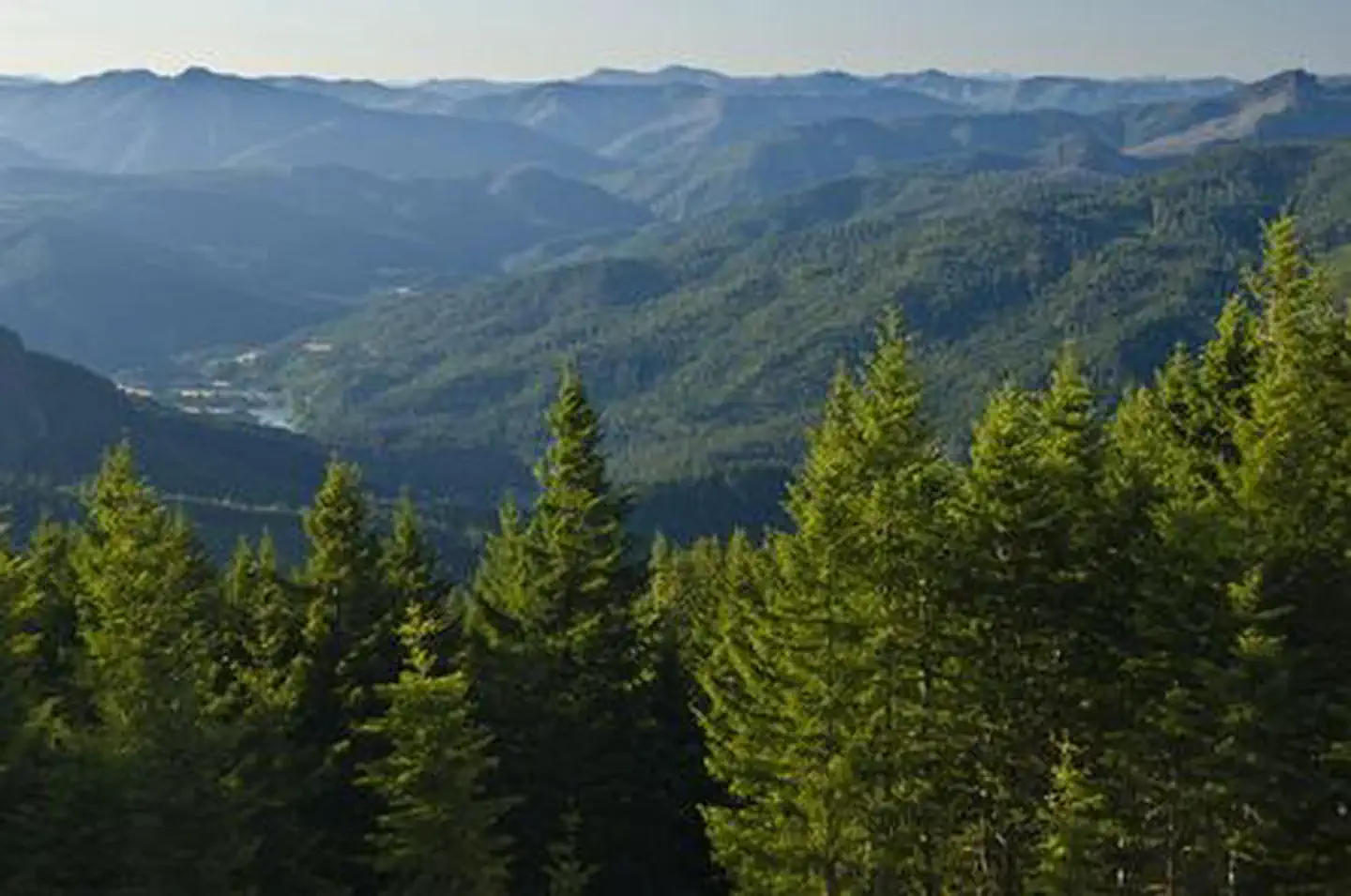
Visitors to the Bald Knob Lookout will be treated to spectacular views overlooking Eden Valley to the north, the Rogue River to the south, and the forests beyond. The unique character of the landscapes comprising the Rogue River-Siskiyou National Forest has led to over 340,000 acres of the Forest to be preserved as a designated wilderness area, and over 200 miles of streams as National Wild and Scenic Rivers. Diverse landscapes provide habitat for a wide range of wildlife, from spotted owls and bull elk to salamanders and sandhill cranes. These species, along with many others, depend on the undeveloped wilderness, undisturbed wetlands, clean streams, and diverse forests to live.
Recreation
Hiking, birding, and wildlife viewing are popular among guests to this lookout. Seasonal changes envelope the area as snow melt gives rise to spring time flowers, and vivid autumn colors welcome a landscape blanketed with snow. The Panther Ridge Trail is accessible from the facility and follows an historic Native American travel corridor. Approximately 95% of this trail is within the Wild Rogue Wilderness, and is closed to any kind of motorized vehicles or equipment. The trail travels under magnificent stands of old-growth timber and through rhododendron and scrub oak undergrowth. Another notable trail is the nearby Coquille River Falls Trail. The hike switches back and forth through a virgin stand of undisturbed Douglas-fir, hemlock, and Port-Orford cedar trees, ending at the Coquille River Falls. Learn more about the geology of waterfalls along the Coquille River.
Guidebooks for Oregon
We earn a small commission if you buy through these links. It does not change what we list.

Titles come from Open Library's catalog, matched by subject heading or by title.
Reference
Questions people ask
Do I need a reservation at Bald Knob Lookout?
Sites at Bald Knob Lookout are reservable on Recreation.gov. Any walk-up sites are listed on the booking page.
Source: Recreation.gov
How much does it cost to camp at Bald Knob Lookout?
$65.00
Source: Recreation.gov
What time is check-in at Bald Knob Lookout?
Check-in 1:00 PM, checkout 11:00 AM.
Source: Recreation.gov
How many sites does Bald Knob Lookout have?
1 site, including 1 cabin.
Source: Recreation.gov
What is there to do at Bald Knob Lookout?
Hiking, birding, and wildlife viewing are popular among guests to this lookout. The Recreation section on this page has the rest.
Source: Recreation
What is the nearest town to Bald Knob Lookout?
Powers, Oregon. Visit Crater Lake National Park and learn about its unique natural and cultural history.
Source: Getting there
What if Bald Knob Lookout is full?
The nearest public campgrounds are Rock Creek Campground (1.8 mi), Island Campground (2.2 mi), and Sru Lake Campground (2.8 mi, first-come).
Source: Campgrounds nearby